Treginnis Peninsula
Heritage Site in Pembrokeshire
Wales
Treginnis Peninsula
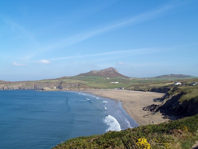
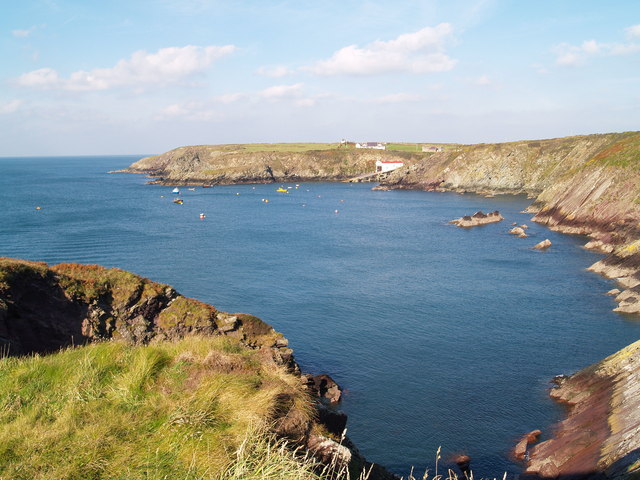
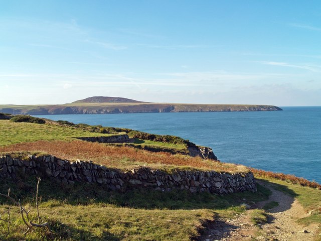
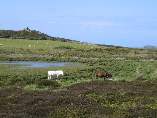
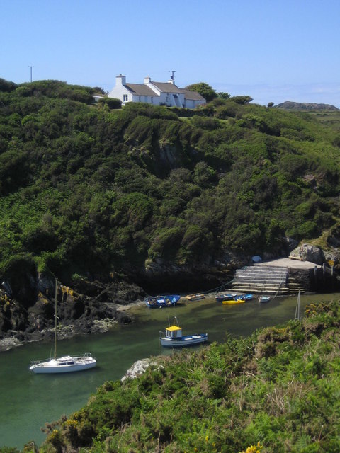
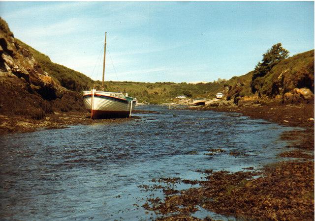
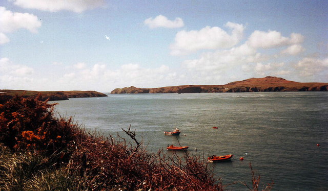
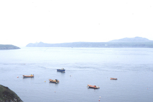
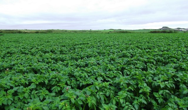
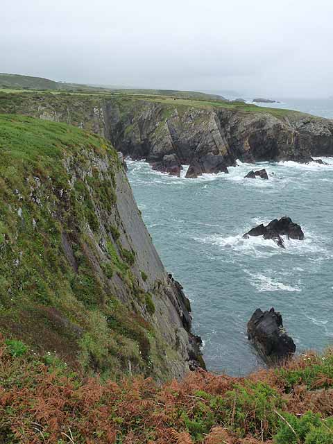
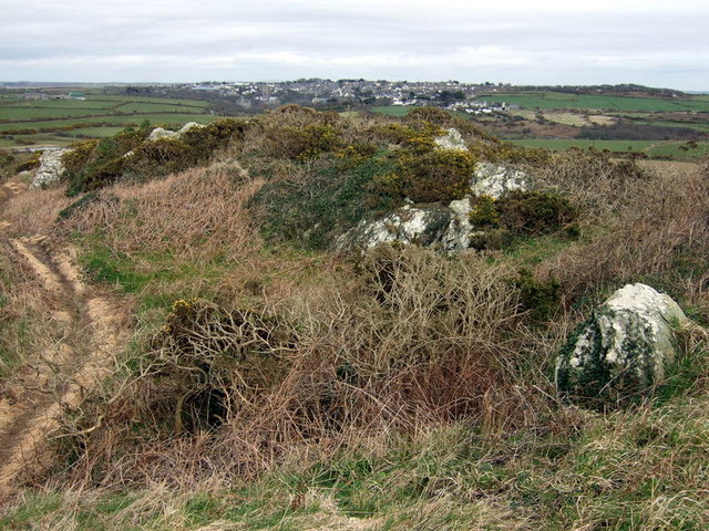
Treginnis Peninsula is a stunning heritage site located in Pembrokeshire, Wales. This rugged and remote peninsula is known for its breathtaking coastal scenery, with dramatic cliffs, pristine beaches, and sweeping views of the surrounding sea. The area is rich in wildlife, with a variety of seabirds nesting along the cliffs and seals often spotted basking on the rocks below.
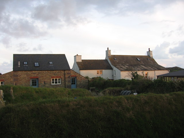
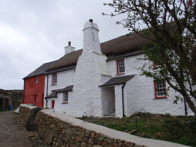
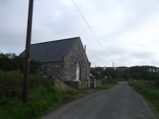
Treginnis Peninsula is also home to a number of important archaeological sites, including ancient burial chambers and medieval ruins. The area has a long history of human habitation, with evidence of prehistoric settlements dating back thousands of years.
Visitors to Treginnis Peninsula can explore the coastal paths that wind their way along the cliffs, offering stunning views of the sea and the surrounding countryside. The area is popular with hikers, birdwatchers, and nature enthusiasts, who come to admire the unspoiled beauty of this remote corner of Wales.
Overall, Treginnis Peninsula is a must-visit destination for anyone interested in history, archaeology, or simply enjoying the natural beauty of the Welsh coast.
If you have any feedback on the listing, please let us know in the comments section below.
Treginnis Peninsula Images
Images are sourced within 2km of 51.873/-5.299 or Grid Reference SM7324. Thanks to Geograph Open Source API. All images are credited.

Treginnis Peninsula is located at Grid Ref: SM7324 (Lat: 51.873, Lng: -5.299)
Unitary Authority: Pembrokeshire
Police Authority: Dyfed Powys
What 3 Words
///argue.budgeted.announce. Near St Davids, Pembrokeshire
Nearby Locations
Related Wikis

Trefeiddan Moor
Trefeiddan Moor is a Site of Special Scientific Interest (or SSSI) in Pembrokeshire, South Wales. It has been designated as a Site of Special Scientific...

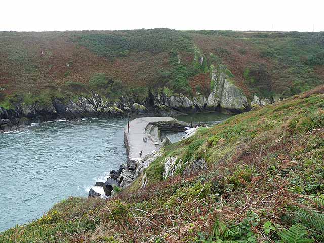
St Justinian
St Justinian (or St Justinian's or St Justinians; Welsh: Porth Stinan) is a coastal location of indeterminate area in the extreme northwest of Pembrokeshire...
Clegyr Boia
Clegyr Boia, or Clegyr Fwya, is a prehistoric site on the St David's peninsula, Pembrokeshire, Wales, 33 to 65 feet (10 to 20 m) above the surrounding...
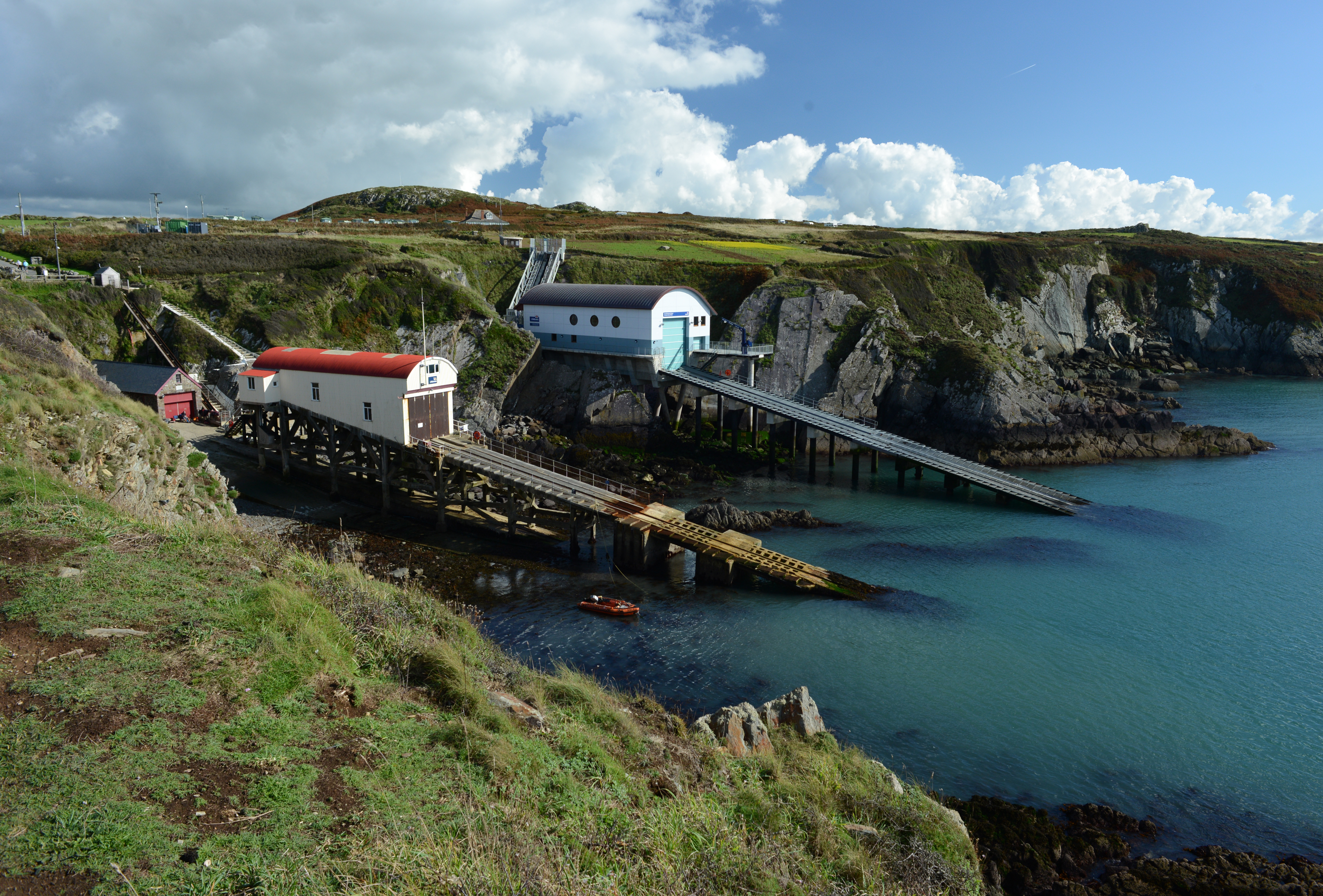
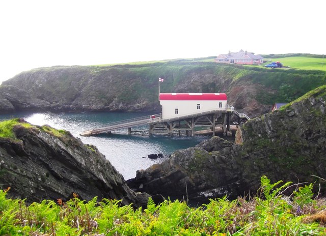
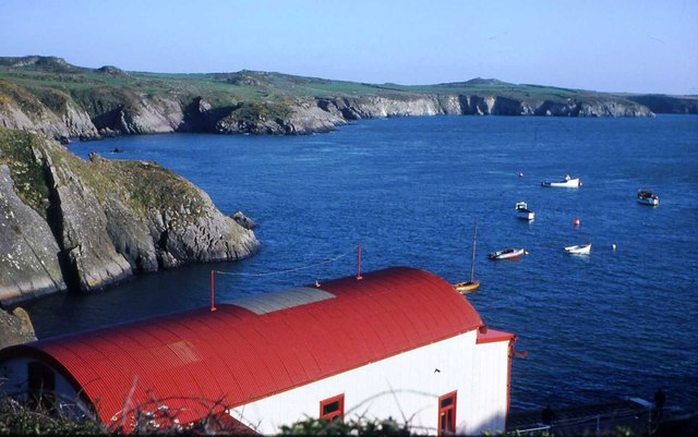
St Davids Lifeboat Station
St Davids Lifeboat Station (based in St Justinian, St Davids, Pembrokeshire, Wales) is a Royal National Lifeboat Institution (RNLI) station. It was opened...
Nearby Amenities
Located within 500m of 51.873,-5.299Have you been to Treginnis Peninsula?
Leave your review of Treginnis Peninsula below (or comments, questions and feedback).