Tregellas

Heritage Site in Cornwall

England

Tregellas

Covered reservoir near Grampound Road
Covered reservoir near Grampound Road Credit: Rod Allday

Tregellas is a historic site located in Cornwall, England. It is known for its well-preserved archaeological remains, including a Bronze Age burial mound, Iron Age hillfort, and medieval settlement. The site offers a glimpse into the area's rich history, spanning thousands of years.

The Bronze Age burial mound at Tregellas is a significant feature, offering insight into the burial practices of ancient civilizations. The Iron Age hillfort is another notable aspect of the site, showcasing the defensive strategies and structures used by early inhabitants of the area. The medieval settlement provides a window into the daily lives and activities of people living in Cornwall during the Middle Ages.

Visitors to Tregellas can explore the various archaeological features on guided tours, learning about the site's history and significance. The site is managed and maintained by heritage organizations, ensuring that it remains a valuable resource for researchers and history enthusiasts alike. Tregellas serves as an important heritage site in Cornwall, preserving the region's past for future generations to enjoy and learn from.

If you have any feedback on the listing, please let us know in the comments section below.
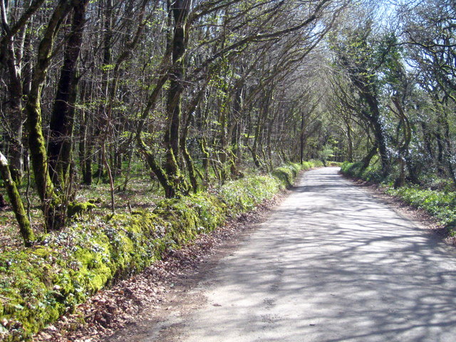
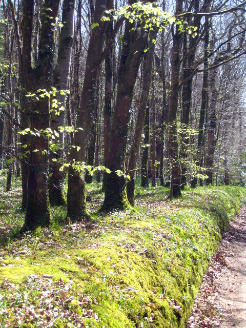
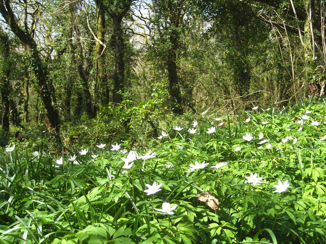
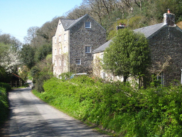
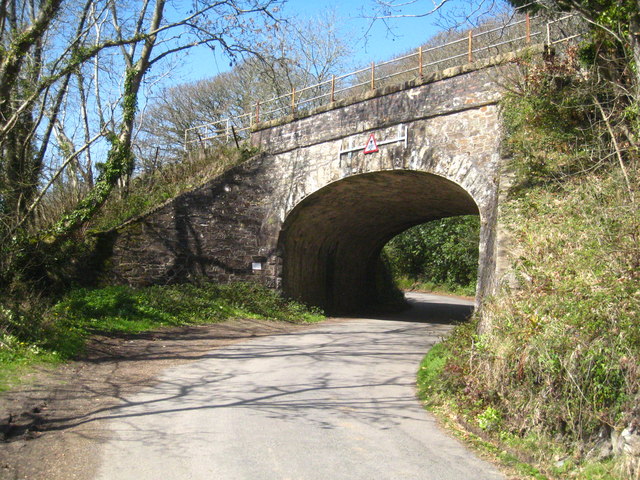
Tregellas Images

Images are sourced within 2km of 50.308/-4.922 or Grid Reference SW9249. Thanks to Geograph Open Source API. All images are credited.

Covered reservoir near Grampound Road
Pasture near Grampound Road The white on the hills in the distance is china clay workings around St Stephen.
Pasture near Grampound Road
The white on the hills in the distance is china clay workings around St Stephen.
Small wind turbine on farmland near Grampound Road A similar one can be seen in the middle distance.
Small wind turbine on farmland near Grampound Road
A similar one can be seen in the middle distance.
Cottage on the bend At Snellsgate just north of Grampound Road.
Cottage on the bend
At Snellsgate just north of Grampound Road.
Spring flowers and blossom along the lane to Trelion Blackthorn blossom, gorse, speedwell and dandelions.
Spring flowers and blossom along the lane to Trelion
Blackthorn blossom, gorse, speedwell and dandelions.
A fine display of blackthorn blossom (Prunus spinosa) In the lane leading to Trelion.  The blackthorn blossom is particularly good this year.
A fine display of blackthorn blossom (Prunus spinosa)
In the lane leading to Trelion. The blackthorn blossom is particularly good this year.
The road to Trenowth Trenowth Woods are on the left, Barn Wood on the right.
The road to Trenowth
Trenowth Woods are on the left, Barn Wood on the right.
Beech trees in Trenowth Wood The fresh green of new leaves just beginning to appear.
Beech trees in Trenowth Wood
The fresh green of new leaves just beginning to appear.
Wood anemones (Anemone nemorosa) on the roadside bank On the edge of Barn Wood.
Wood anemones (Anemone nemorosa) on the roadside bank
On the edge of Barn Wood.
Field at Trenowth I'm not sure what the yellow haze is - buttercups, dandelions or charlock possibly? The line of trees is along the footpath from Trenowth to Benallack,
Field at Trenowth
I'm not sure what the yellow haze is - buttercups, dandelions or charlock possibly? The line of trees is along the footpath from Trenowth to Benallack,
Trenowth Mill Dating from the early to mid-C19th and Grade II listed, now converted to residential accommodation. According to the listing description, the mill was used in connection with the china clay industry.
Trenowth Mill
Dating from the early to mid-C19th and Grade II listed, now converted to residential accommodation. According to the listing description, the mill was used in connection with the china clay industry.
Railway bridge at Trenowth Carrying the Paddington-Penzance main line.
Railway bridge at Trenowth
Carrying the Paddington-Penzance main line.
Grampound Road entrance sign
Herringbone wall Wall beside pavement at Top Hill.
Herringbone wall
Wall beside pavement at Top Hill.
View from a train just passed Grampound Road This is the view towards Trenoweth Wood from a train travelling towards St Austell from Truro.
View from a train just passed Grampound Road
This is the view towards Trenoweth Wood from a train travelling towards St Austell from Truro.
Site of Grampound Road station View SW, towards Truro and Penzance: ex-GWR Plymouth - Penzance main line. The station was, which was behind the camera, closed 5/10/64 but the line has of course survived, although singled on this stretch at that time - but doubled again more recently.
Site of Grampound Road station
View SW, towards Truro and Penzance: ex-GWR Plymouth - Penzance main line. The station was, which was behind the camera, closed 5/10/64 but the line has of course survived, although singled on this stretch at that time - but doubled again more recently.
Railway at Trenowth Passenger train passing the farm at Trenowth.
Railway at Trenowth
Passenger train passing the farm at Trenowth.
Grampound - Town Hall The Town Hall (now parish room) with its attractive clock tower probably dates from the early C18th but with C19th and C20th alterations, including the rebuilding of the clock tower in c.1982
It is called the 'town' hall although Grampound is only a village.
It is EH Grade II listed: <span class="nowrap"><a title="https://historicengland.org.uk/listing/the-list/list-entry/1144042" rel="nofollow ugc noopener" href="https://historicengland.org.uk/listing/the-list/list-entry/1144042">Link</a><img style="margin-left:2px;" alt="External link" title="External link - shift click to open in new window" src="https://s1.geograph.org.uk/img/external.png" width="10" height="10"/></span>
In front of it can be seen <a href="https://www.geograph.org.uk/photo/7055574">SW9348 : Old Central Cross on the A390 Fore Street in Grampound</a> which is also Grade II listed <span class="nowrap"><a title="https://historicengland.org.uk/listing/the-list/list-entry/1136383" rel="nofollow ugc noopener" href="https://historicengland.org.uk/listing/the-list/list-entry/1136383">Link</a><img style="margin-left:2px;" alt="External link" title="External link - shift click to open in new window" src="https://s1.geograph.org.uk/img/external.png" width="10" height="10"/></span>
Grampound - Town Hall
The Town Hall (now parish room) with its attractive clock tower probably dates from the early C18th but with C19th and C20th alterations, including the rebuilding of the clock tower in c.1982 It is called the 'town' hall although Grampound is only a village. It is EH Grade II listed: LinkExternal link In front of it can be seen SW9348 : Old Central Cross on the A390 Fore Street in Grampound which is also Grade II listed LinkExternal link
Show me another place!

Tregellas is located at Grid Ref: SW9249 (Lat: 50.308, Lng: -4.922)

Unitary Authority: Cornwall

Police Authority: Devon and Cornwall

What 3 Words

///twitches.swam.blesses. Near Probus, Cornwall

Nearby Locations

Tregellas

Related Wikis

Truro and St Austell (UK Parliament constituency)

Truro and St Austell was a county constituency in Cornwall represented in the House of Commons of the UK Parliament from its 1997 creation to its 2010...

Grampound Road

Grampound Road (Cornish: Fordh Ponsmeur) is a village in the parish of Ladock, Cornwall, England, 3 kilometres (1.9 mi) north-west of Grampound.The railway...

Grampound with Creed

Grampound with Creed (Cornish: Ponsmeur a'byth Sen Krida) is a civil parish in Cornwall, England, United Kingdom. The two major settlements in the parish...

Trewithen House

Trewithen House is a Georgian country house in Probus, Cornwall, England. The Palladian house was built by London-based architect Thomas Edwards in 1723...

Have you been to Tregellas?

Leave your review of Tregellas below (or comments, questions and feedback).