Tobar Chaluim Chille
Heritage Site in Inverness-shire
Scotland
Tobar Chaluim Chille

Tobar Chaluim Chille, also known as St. Columba's Well, is a significant heritage site located in Inverness-shire, Scotland. This ancient well holds great historical and religious importance and is associated with the renowned Irish missionary, St. Columba.
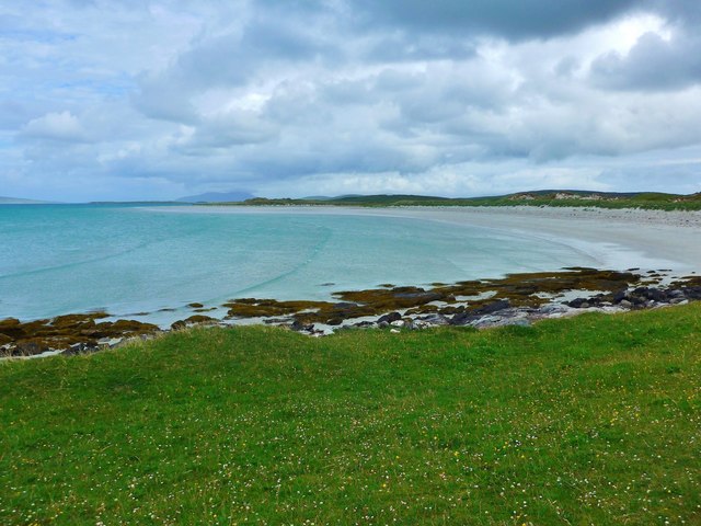
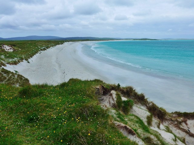
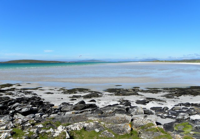
Situated in a serene and picturesque setting, Tobar Chaluim Chille is nestled amidst lush greenery and rolling hills. It is believed to have been a sacred site for centuries, attracting pilgrims and worshippers from near and far. The well is associated with various legends and miracles attributed to St. Columba, who is said to have visited the site and blessed the water.
Tobar Chaluim Chille is characterized by its small stone-walled enclosure, protecting the well from the elements. The well itself is a simple stone structure, with a small opening through which the water flows. Visitors often leave small tokens or offerings near the well, reflecting the continuing spiritual significance of the site.
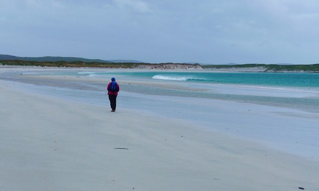
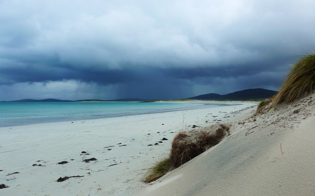
In addition to its religious and historical importance, Tobar Chaluim Chille is also renowned for its natural beauty. Surrounded by stunning landscapes and breathtaking vistas, it offers a peaceful and tranquil atmosphere for visitors to reflect and connect with nature.
Access to Tobar Chaluim Chille is relatively easy, with a short walk from a nearby parking area. Interpretive signage provides information about the site's history and significance.
Overall, Tobar Chaluim Chille is a cherished heritage site, revered for its religious, historical, and natural value. It continues to attract visitors seeking solace, inspiration, and a connection to the ancient traditions of Scotland.
If you have any feedback on the listing, please let us know in the comments section below.
Tobar Chaluim Chille Images
Images are sourced within 2km of 57.662/-7.24 or Grid Reference NF8775. Thanks to Geograph Open Source API. All images are credited.
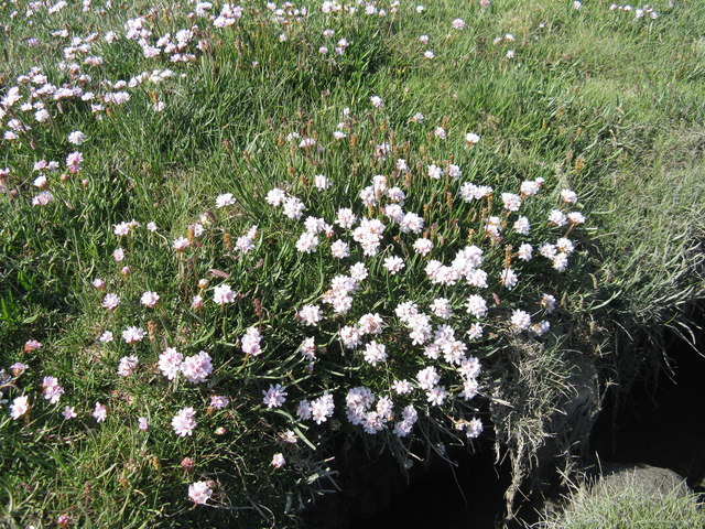
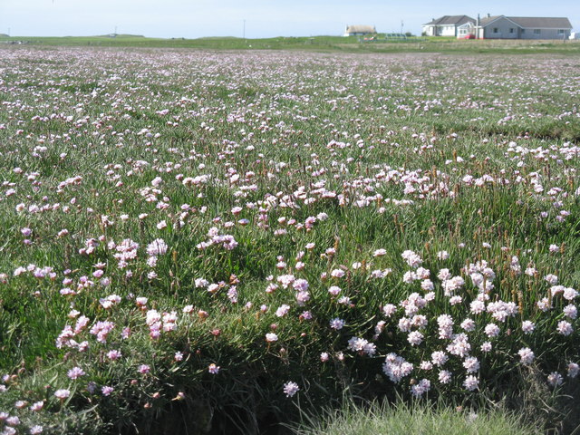
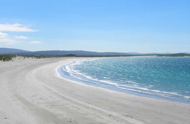
![Salt marsh at Trumaisgearraidh With a good flowering of Thrift [Armeria maritima].](https://s2.geograph.org.uk/geophotos/04/98/76/4987682_f3c46f91.jpg)


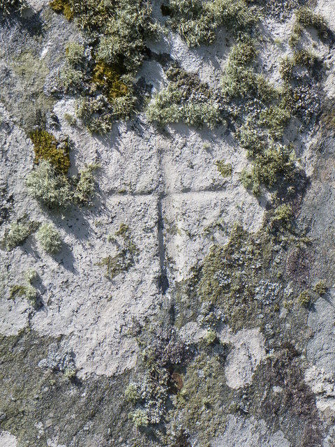
![Clach an t-Sagairt [with oystercatcher] The name translates as the 'Priest's Stone' and the incised cross [see detailed photo] may be early medieval.](https://s0.geograph.org.uk/geophotos/06/20/54/6205476_aeb4c05e.jpg)
Tobar Chaluim Chille is located at Grid Ref: NF8775 (Lat: 57.662, Lng: -7.24)
Unitary Authority: Na h-Eileanan an Iar
Police Authority: Highlands and Islands
What 3 Words
///meaty.sadly.greet. Near Lochmaddy, Na h-Eileanan Siar
Nearby Locations
Related Wikis

North Uist Machair and Islands
The North Uist Machair and Islands is a protected wetland area in the Outer Hebrides of Scotland. A total of 4,705 hectares comprises seven separate areas...

Lingeigh, North Uist
Lingeigh is an uninhabited island off North Uist, south east of Boreray. It is separated from North Uist by Traigh Lingeigh. == Footnotes ==

Dun an Sticir
Dun an Sticir (Scottish Gaelic: Dùn an Sticir [ˈt̪un əɲ ˈʃtʲiçkʲɪɾʲ]) is an Iron Age broch situated approximately 9.5 kilometers north of Lochmaddy in...

Oronsay, Outer Hebrides
Oronsay (Gaelic Orasaigh) is a tidal island off North Uist in the Outer Hebrides. Lying to the north of Vallaquie Strand, the island has been uninhabited...
Nearby Amenities
Located within 500m of 57.662,-7.24Have you been to Tobar Chaluim Chille?
Leave your review of Tobar Chaluim Chille below (or comments, questions and feedback).