Tobar Mheasain

Heritage Site in Sutherland

Scotland

Tobar Mheasain

Loth Burn The Loth Burn descending through Glen Loth, seen from the road bridge crossing a tributary stream entering from the left and unseen in the image. Druim Dearg and Beinn Dhorain are the rounded, snow-covered hills beyond.
Loth Burn Credit: Trevor Littlewood

Tobar Mheasain, located in Sutherland, Scotland, is a significant heritage site that holds historical and cultural importance. Also known as Measain Well, it is a natural spring that has been revered by locals for centuries. The site is nestled in a picturesque setting, surrounded by rolling hills and lush greenery, making it an idyllic spot for visitors to appreciate the natural beauty of the region.

Tobar Mheasain has long been associated with various legends and folklore. According to local tales, the well's waters possess healing properties, attracting pilgrims seeking cures for ailments and blessings for good fortune. It is believed that the well's water is blessed by Saint Measain, a revered figure in the region's religious history.

The well itself is a simple stone structure, with a small basin for collecting the spring's water. Visitors can still witness the tradition of leaving offerings, such as coins or tokens, at the well as a sign of respect and gratitude. Many also tie ribbons or pieces of cloth to nearby trees as a symbolic gesture.

Tobar Mheasain offers a peaceful and reflective atmosphere, inviting visitors to take a moment to appreciate the tranquility and spirituality of the site. It serves as a reminder of the deep-rooted traditions and beliefs that have shaped the cultural heritage of the area.

Overall, Tobar Mheasain is a captivating heritage site that showcases the intersection of nature, spirituality, and local folklore. Its historical significance and natural charm make it a must-visit destination for those interested in exploring the rich cultural tapestry of Sutherland.

If you have any feedback on the listing, please let us know in the comments section below.

Tobar Mheasain Images

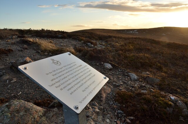
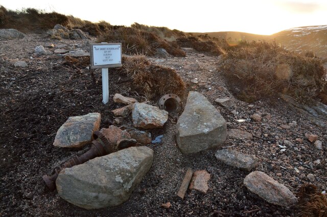
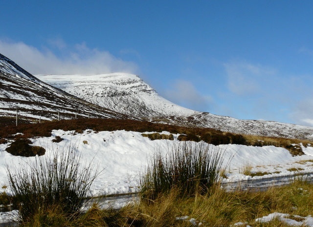
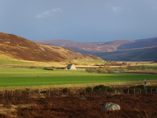
Images are sourced within 2km of 58.098/-3.807 or Grid Reference NC9313. Thanks to Geograph Open Source API. All images are credited.

Loth Burn The Loth Burn descending through Glen Loth, seen from the road bridge crossing a tributary stream entering from the left and unseen in the image. Druim Dearg and Beinn Dhorain are the rounded, snow-covered hills beyond.
Loth Burn
The Loth Burn descending through Glen Loth, seen from the road bridge crossing a tributary stream entering from the left and unseen in the image. Druim Dearg and Beinn Dhorain are the rounded, snow-covered hills beyond.
Burnt heather on top of Druim Dearg Druim Dearg is a minor hill top south of the significant hill, Beinn Dhorain, a Graham. That mountain rises steeply with crags at the left side of the image.
Along the horizon to the right of Beinn Dhorain are several snow-covered hills from Morven to Scaraben: a fine scene but the modest visibility on the day has those hills merging with the pale grey of the sky.
Burnt heather on top of Druim Dearg
Druim Dearg is a minor hill top south of the significant hill, Beinn Dhorain, a Graham. That mountain rises steeply with crags at the left side of the image. Along the horizon to the right of Beinn Dhorain are several snow-covered hills from Morven to Scaraben: a fine scene but the modest visibility on the day has those hills merging with the pale grey of the sky.
Abandoned cottage in Glen Loth close to the Loth Burn The cottage as it was in February 1992. Andrew Tryon's photo of the same house, (2019), shows it still to be unoccupied and now roofless but with its structure substantially intact - <a title="https://www.geograph.org.uk/photo/6350227" href="https://www.geograph.org.uk/photo/6350227">Link</a> .
Beinn Mhealaich is the snowed hill.
Abandoned cottage in Glen Loth close to the Loth Burn
The cottage as it was in February 1992. Andrew Tryon's photo of the same house, (2019), shows it still to be unoccupied and now roofless but with its structure substantially intact - Link . Beinn Mhealaich is the snowed hill.
Short Sunderland DP197 Air Crash Memorial at Creag Riabhach, Sutherland A plaque commemorating the 15 Canadian men killed when a RAF Short Sunderland S25 Seaplane DP197 crashed at this remote moorland location in Northern Scotland in 1944.  A few pieces of aircraft remain scattered in the surrounding area.
Short Sunderland DP197 Air Crash Memorial at Creag Riabhach, Sutherland
A plaque commemorating the 15 Canadian men killed when a RAF Short Sunderland S25 Seaplane DP197 crashed at this remote moorland location in Northern Scotland in 1944. A few pieces of aircraft remain scattered in the surrounding area.
Short Sunderland S25 Wreckage on Creag Riabhach, Sutherland Part of the crash site of the Short Sunderland S25 Seaplane DP197 which crashed here in August 1944.
Short Sunderland S25 Wreckage on Creag Riabhach, Sutherland
Part of the crash site of the Short Sunderland S25 Seaplane DP197 which crashed here in August 1944.
View from Minor road in Glen Loth
Bridge over Glen Sletdale
View from Minor road in Glen Loth
View from minor road in Glen Loth
Ascending the south slope of Druim Dearg Looking west while ascending the south slope of Druim Dearg
Ascending the south slope of Druim Dearg
Looking west while ascending the south slope of Druim Dearg
Sletdale Burn near Lothbeg
Looking south up the Allt a' Chrionaich near Lothbeg
Heather burn west of Creag Riabhach near Lothbeg
Wall of tussocky grass in the course of Allt a' Chrionaich near Lothbeg
Course of Allt a' Chrionaich looking north This is the scene above the wall of tussocks. The wall is so much like a dam and the upper view is so much like a flat loch that one is tempted to see the grass as having taken on the properties of water! Maybe the underlying peat is creating some type of flow structure.
Course of Allt a' Chrionaich looking north
This is the scene above the wall of tussocks. The wall is so much like a dam and the upper view is so much like a flat loch that one is tempted to see the grass as having taken on the properties of water! Maybe the underlying peat is creating some type of flow structure.
Creag Riabhach and its western slopes
Show me another place!

Tobar Mheasain is located at Grid Ref: NC9313 (Lat: 58.098, Lng: -3.807)

Unitary Authority: Highlands

Police Authority: Highland and Islands

What 3 Words

///lakes.wicket.repayment. Near Brora, Highland

Related Wikis

Beinn Dhorain

Beinn Dhorain (628 m) is a mountain in the Northwest Highlands. It lies in Sutherland in the far north of Scotland, west of the village of Helmsdale.A...

Lothbeg

Lothbeg is a hamlet south of Helmsdale. Lothbeg is a small coastal hamlet, on the coast of the North Sea in eastern Sutherland, Scottish Highlands and...

Loth railway station

Loth railway station served the hamlet of Lothbeg, in the historical county of Sutherland, Scotland, from 1871 to 1960 on the Duke of Sutherland's Railway...

Strath of Kildonan

Strath of Kildonan, also known as Strath Ullie, (Scottish Gaelic: Srath Ilidh), is a strath in Sutherland, in the north of Scotland. It extends in a north...

Nearby Amenities

Located within 500m of 58.098,-3.807
Glenhouse
Place: locality
Lat/Long: 58.0957475/-3.8120605
The data included in this document is from www.openstreetmap.org. The data is made available under ODbL.

Have you been to Tobar Mheasain?

Leave your review of Tobar Mheasain below (or comments, questions and feedback).