Three Kings

Heritage Site in Northumberland

England

Three Kings

Hindhope Linn A pretty waterfall when the water level is low.
Hindhope Linn Credit: Leanmeanmo

Three Kings is a historic site located in Northumberland, England, known for its three prehistoric burial cairns dating back to the Neolithic period. These burial cairns are thought to have been constructed around 4,000 to 6,000 years ago, making them some of the oldest known structures in the region.

The site gets its name from the three cairns, which are arranged in a line and are said to represent three kings or rulers buried at the site. Each cairn is made up of a mound of stones and earth, covering a central chamber where the remains of the deceased were placed. The cairns are thought to have been used for communal burials, with multiple individuals being interred within each chamber.

Three Kings is a popular destination for archaeologists and history enthusiasts, offering a glimpse into the ancient past of Northumberland. The site is also a designated Scheduled Monument, meaning it is protected by law due to its historical significance.

Visitors to Three Kings can explore the cairns and learn more about the people who built them, as well as the rituals and beliefs surrounding burial practices in the Neolithic period. The site offers a unique opportunity to connect with the ancient history of Northumberland and gain a deeper understanding of the region's past.

If you have any feedback on the listing, please let us know in the comments section below.
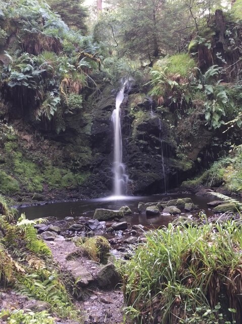
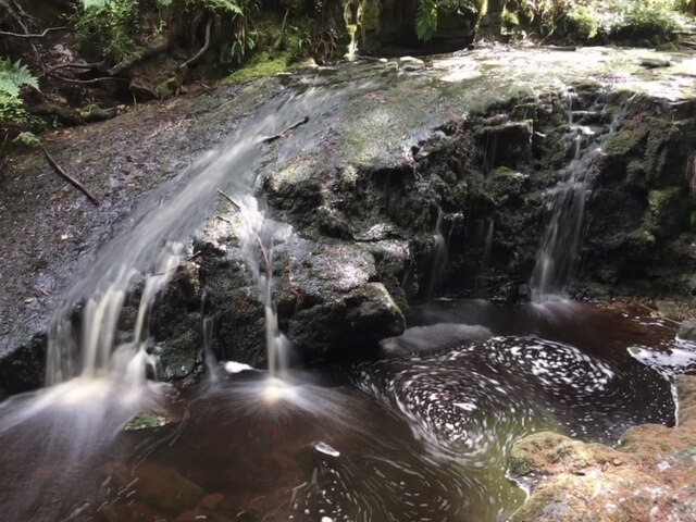
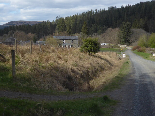
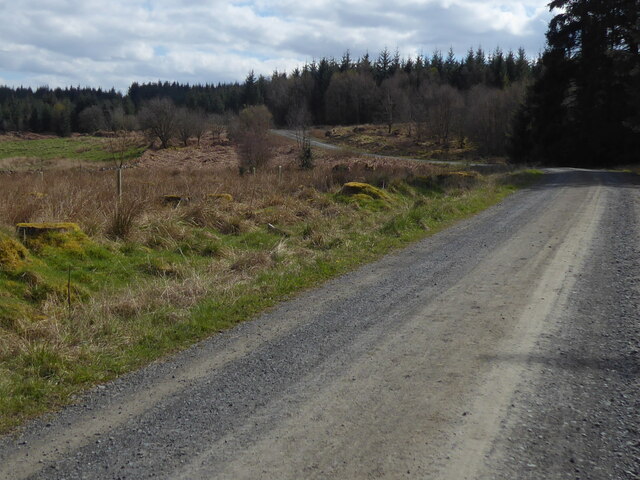
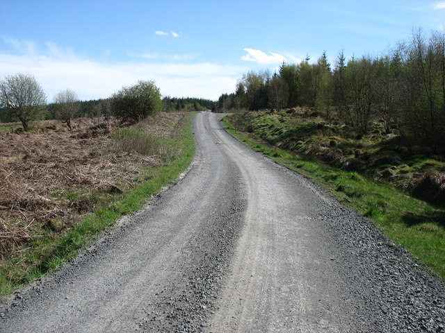
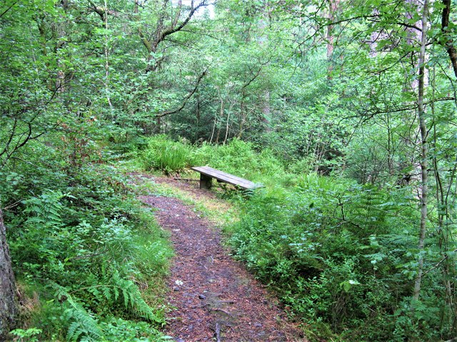
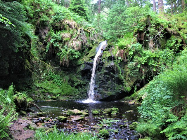
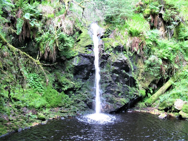
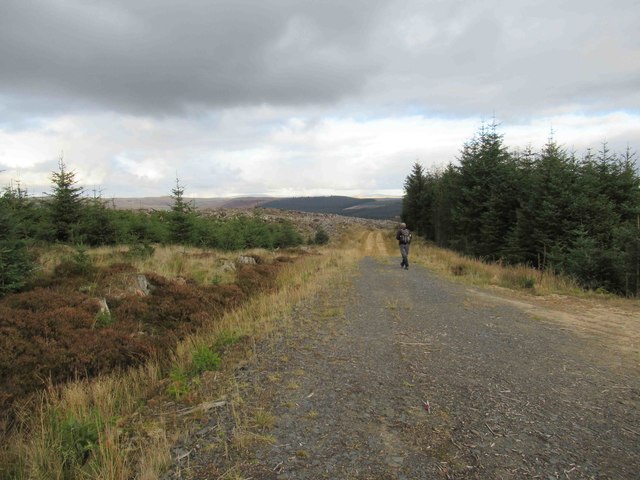
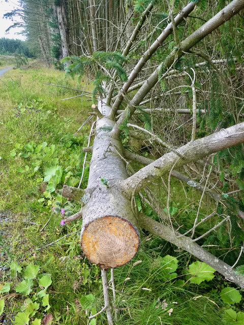
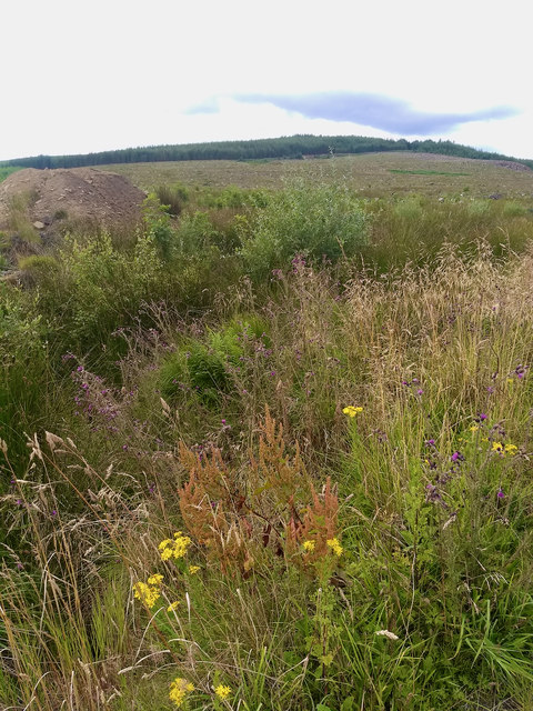
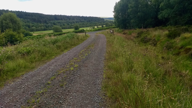
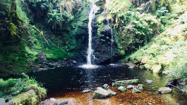
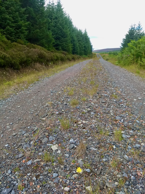
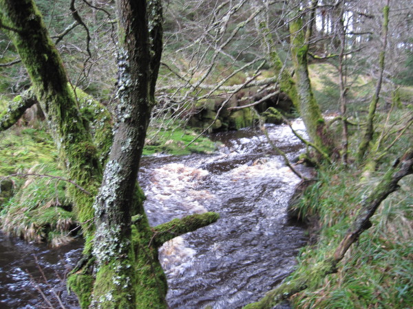
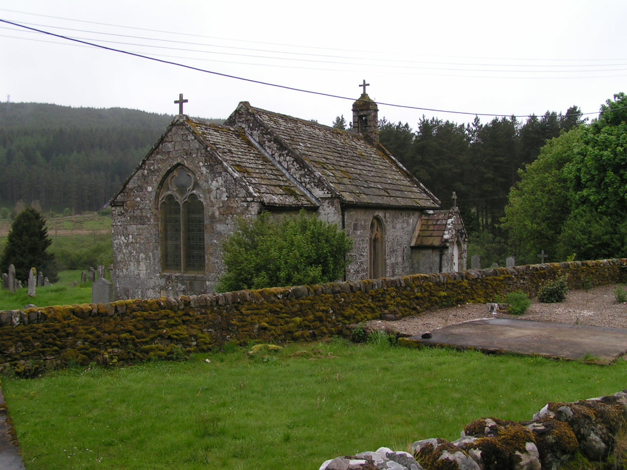
Three Kings Images

Images are sourced within 2km of 55.298/-2.353 or Grid Reference NT7700. Thanks to Geograph Open Source API. All images are credited.

Hindhope Linn A pretty waterfall when the water level is low.
Hindhope Linn
A pretty waterfall when the water level is low.
Cascade near Hindhope Linn An eye catching cascade immediately downstream of the Linn itself.
Cascade near Hindhope Linn
An eye catching cascade immediately downstream of the Linn itself.
The Pennine Way near Blakehopeburnhaugh
Track in Kielder Forest The Pennine Way follows this track.
Track in Kielder Forest
The Pennine Way follows this track.
Path to Hindhope Linn Attractive forest path leading to the waterfall.
Path to Hindhope Linn
Attractive forest path leading to the waterfall.
Hindhope Linn, Kielder Forest Hindope Linn is situated in the eastern fringes of Kielder Forest on Hindope Burn, a tributary of Blakehope Burn which in turn is a tributary of the River Rede. Hindhope Linn is a very nice waterfall within the attractive setting of forest undergrowth.
Hindhope Linn, Kielder Forest
Hindope Linn is situated in the eastern fringes of Kielder Forest on Hindope Burn, a tributary of Blakehope Burn which in turn is a tributary of the River Rede. Hindhope Linn is a very nice waterfall within the attractive setting of forest undergrowth.
Forest Track between Tod Knowe  and Tod Crag
Forest Track between Tod Knowe and Tod Crag
Waterfall in Hindhope Burn Not the greatest waterfall I've ever seen BUT we had to look it up!!
Waterfall in Hindhope Burn
Not the greatest waterfall I've ever seen BUT we had to look it up!!
Disused Quarry
Disused Quarry
Hindhope Burn Somewhere amongst the debris.
Hindhope Burn
Somewhere amongst the debris.
Fallen tree
Fallen tree
Clear felling. Tod Law
Forest track
Forest track
Hindhope Linn
Hindhope Linn
Forest track
Forest track
Blakehope Burn
Blakehope Burn
Show me another place!

Three Kings is located at Grid Ref: NT7700 (Lat: 55.298, Lng: -2.353)

What 3 Words

///campfires.madder.slam. Near Rochester, Northumberland

Nearby Locations

Three Kings

Related Wikis

Cottonshopeburnfoot

Cottonshopeburnfoot is a hamlet in Redesdale in Northumberland, England. It lies on the A68 road, 2 miles south east of the village of Byrness. The hamlet...

Byrness

Byrness is a village within Rochester civil parish in Northumberland, England. It is approximately 37 miles (60 km) north-west of Newcastle upon Tyne on...

A68 road

The A68 is a major road in the United Kingdom, running from Darlington in England to the A720 in Edinburgh, the capital of Scotland. It crosses the Anglo...

Border Moors and Forests

Border Moors and Forests NCA is an upland plateau region in Northern England between the North East and North West regions, and touching the Anglo-Scottish...

Nearby Amenities

Located within 500m of 55.298,-2.353
Three Kings Stone Circle
Historic: archaeological_site
Megalith Type: stone_circle
Opening Hours: 24/7
Lat/Long: 55.3018702/-2.3570276
The data included in this document is from www.openstreetmap.org. The data is made available under ODbL.

Have you been to Three Kings ?

Leave your review of Three Kings below (or comments, questions and feedback).