Three Howes

Heritage Site in Yorkshire

England

Three Howes

Estate road crossing moorland at side of Tomgate Moor Desolate moorland is traversed by a rough road the status of which allows its use by any traffic; as a result it sees frequent use by 'off roaders'. In this image the road's surface seems fairly secure but in places, wear is a problem: <a title="https://www.geograph.org.uk/photo/82100" href="https://www.geograph.org.uk/photo/82100">Link</a>.
Estate road crossing moorland at side of Tomgate Moor Credit: Trevor Littlewood

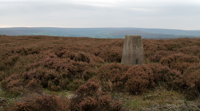
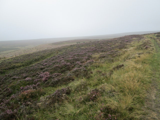
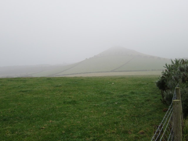
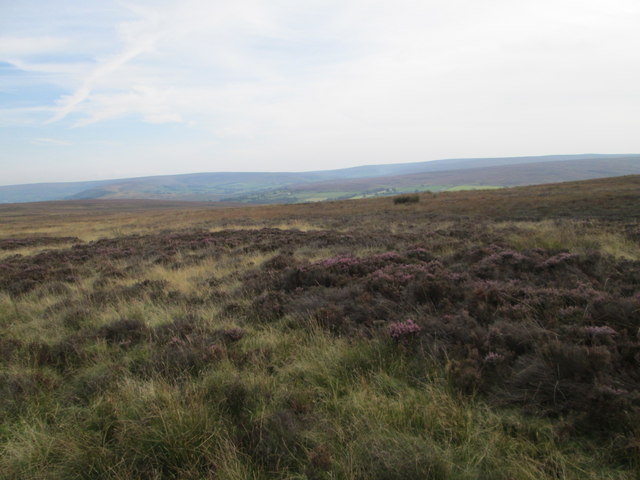
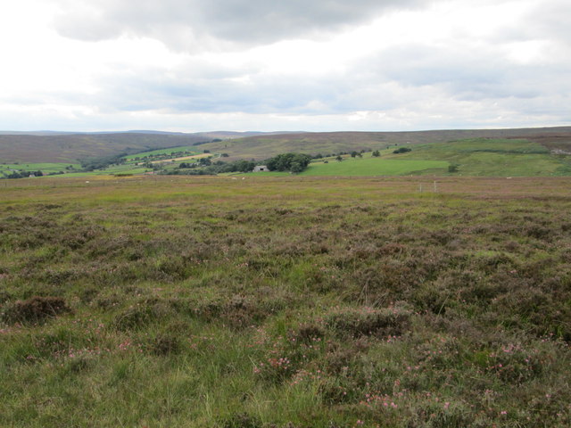
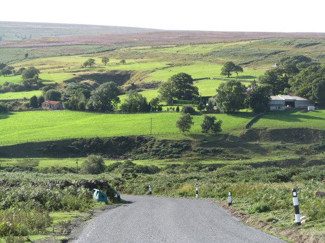
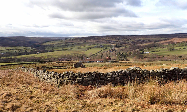
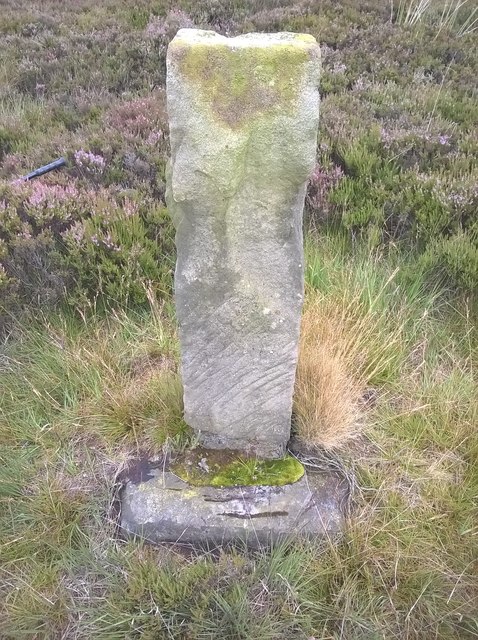
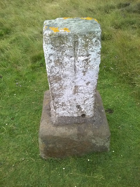
Three Howes is a heritage site located in Yorkshire, England. It consists of three Bronze Age round barrows or burial mounds, which are believed to date back to around 2000-1500 BC. The barrows are situated on a gentle slope overlooking the surrounding countryside, providing a picturesque and serene setting.

Each of the three barrows is of a similar size and shape, with a diameter of approximately 20 meters. The mounds are made of earth and rubble, and are surrounded by a shallow ditch. The barrows are thought to have been constructed as burial sites for prominent individuals or families in the local community during the Bronze Age.

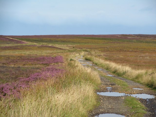
Three Howes is a well-preserved and historically significant site, offering visitors a glimpse into the ancient past of the region. The site is easily accessible by foot, with a designated path leading to the barrows. Interpretive signage provides information about the history and significance of the site, making it a popular destination for history enthusiasts and those interested in archaeology.

Overall, Three Howes is a fascinating heritage site that offers a unique insight into the burial practices and customs of the Bronze Age inhabitants of Yorkshire.

If you have any feedback on the listing, please let us know in the comments section below.
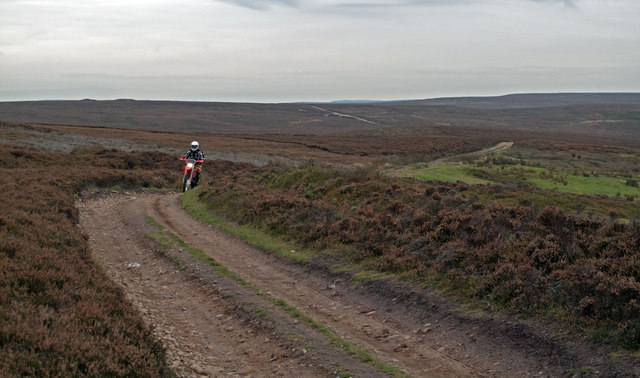
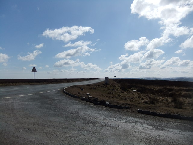
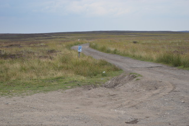
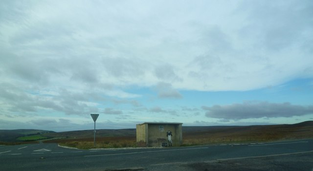
Three Howes Images

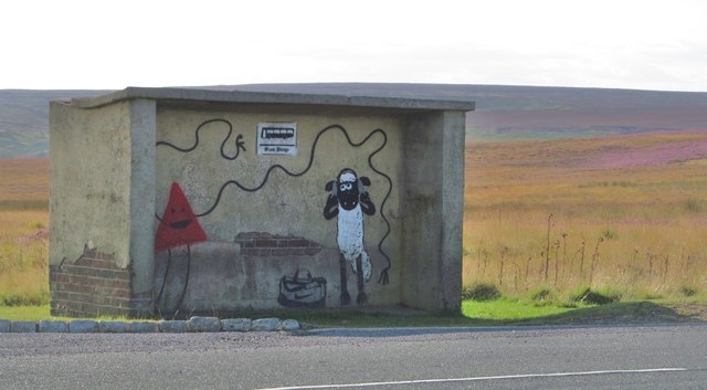
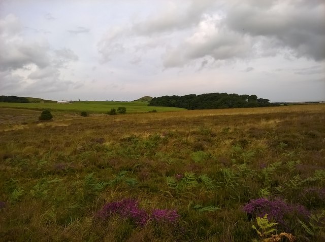
Images are sourced within 2km of 54.485/-0.942 or Grid Reference NZ6810. Thanks to Geograph Open Source API. All images are credited.

Estate road crossing moorland at side of Tomgate Moor Desolate moorland is traversed by a rough road the status of which allows its use by any traffic; as a result it sees frequent use by 'off roaders'. In this image the road's surface seems fairly secure but in places, wear is a problem: <a title="https://www.geograph.org.uk/photo/82100" href="https://www.geograph.org.uk/photo/82100">Link</a>.
Estate road crossing moorland at side of Tomgate Moor
Desolate moorland is traversed by a rough road the status of which allows its use by any traffic; as a result it sees frequent use by 'off roaders'. In this image the road's surface seems fairly secure but in places, wear is a problem: Link.
Heather and trig point of Siss Cross Hill Siss Cross Hill is a minor eminence near to the northern end of the North Yorks Moors National Park; all about is heather. The view is to the south across the gulf of the Esk valley to further moorland beyond.
Heather and trig point of Siss Cross Hill
Siss Cross Hill is a minor eminence near to the northern end of the North Yorks Moors National Park; all about is heather. The view is to the south across the gulf of the Esk valley to further moorland beyond.
Junction, Three Howes Rigg
Bus stop at White Cross junction
Waiting for the bus at White Cross junction Graffiti on a rural bus shelter.
Waiting for the bus at White Cross junction
Graffiti on a rural bus shelter.
Track onto moorland at White Cross Junction
Road Junction, Three Howes Rigg The road to Commondale joins the road over Moorsholme Moor. A sheep waits in the bus shelter as one would expect out here.
Road Junction, Three Howes Rigg
The road to Commondale joins the road over Moorsholme Moor. A sheep waits in the bus shelter as one would expect out here.
Near Dimmingdale Farm Looking SW.
Near Dimmingdale Farm
Looking SW.
Freebrough Hill Looking north from Dimmingdale Road.
Freebrough Hill
Looking north from Dimmingdale Road.
Three Howes Rigg Looking south from the road.
Three Howes Rigg
Looking south from the road.
Looking across Commondale From the path into Commondale.
Looking across Commondale
From the path into Commondale.
Old moorland trackway Track running across the top of the moor from White Cross towards the main Whitby road on Liverton Moor. Shown on the map as an 'other route with public access' and quite possibly a county road.
Old moorland trackway
Track running across the top of the moor from White Cross towards the main Whitby road on Liverton Moor. Shown on the map as an 'other route with public access' and quite possibly a county road.
Ewe can catch the bus here Artistic work in the bus shelter at White Cross. I note that extra graffiti has appeared since the last photo taken of this shelter.
Ewe can catch the bus here
Artistic work in the bus shelter at White Cross. I note that extra graffiti has appeared since the last photo taken of this shelter.
Road descending Sand Hill Looking west along the road to Commondale with Skeldersceugh Farm visible on the opposite hillside.
Road descending Sand Hill
Looking west along the road to Commondale with Skeldersceugh Farm visible on the opposite hillside.
Commondale Commondale seems out of place. A village more suited to the dales of West Yorkshire with its steep sided valleys and industrial buildings. There is none of the vernacular sandstone architecture common in other villages of the North York Moors. Everything is built in a deep red brick. The church of St. Peters is brick, the old school house is brick, the old shop is brick. For Commondale is a “modern” village, still more of a hamlet really, but substantially built at the end of the 19th century. And the source of its wealth were those bricks.

It was Stokesley business man John Slater Pratt who opened the first brickworks in the middle of the 19th century which ceased operations when Pratt died in 1867. Five years later  John Crossley restarted it but it closed again when he emigrated to America in 1882. Again it reopened under new owners but Crossley returned and brought back the works. His son Alfred took over until operations ceased for good in 1947. It was Alfred grew the business and whose name is on the village hall.

The name Commondale is said to be derived from Colmán of Lindisfarne, a 7th century monk from Whitby who became Bishop of Lindisfarne and a saint, although in the Domesday book the valley was referred to as Camiesdale. The first written documentation of Colemandale was in 1273.

From <span class="nowrap"><a title="https://fhithich.wordpress.com/2016/03/03/commondale-2/" rel="nofollow ugc noopener" href="https://fhithich.wordpress.com/2016/03/03/commondale-2/">Link</a><img style="margin-left:2px;" alt="External link" title="External link - shift click to open in new window" src="https://s1.geograph.org.uk/img/external.png" width="10" height="10"/></span>
Commondale
Commondale seems out of place. A village more suited to the dales of West Yorkshire with its steep sided valleys and industrial buildings. There is none of the vernacular sandstone architecture common in other villages of the North York Moors. Everything is built in a deep red brick. The church of St. Peters is brick, the old school house is brick, the old shop is brick. For Commondale is a “modern” village, still more of a hamlet really, but substantially built at the end of the 19th century. And the source of its wealth were those bricks. It was Stokesley business man John Slater Pratt who opened the first brickworks in the middle of the 19th century which ceased operations when Pratt died in 1867. Five years later John Crossley restarted it but it closed again when he emigrated to America in 1882. Again it reopened under new owners but Crossley returned and brought back the works. His son Alfred took over until operations ceased for good in 1947. It was Alfred grew the business and whose name is on the village hall. The name Commondale is said to be derived from Colmán of Lindisfarne, a 7th century monk from Whitby who became Bishop of Lindisfarne and a saint, although in the Domesday book the valley was referred to as Camiesdale. The first written documentation of Colemandale was in 1273. From LinkExternal link
Tomgate Moor Looking north.
Tomgate Moor
Looking north.
Job Cross Job Cross on Moorsholm Moor.
Job Cross
Job Cross on Moorsholm Moor.
White Cross White Cross near Commondale.
White Cross
White Cross near Commondale.
Show me another place!

Three Howes is located at Grid Ref: NZ6810 (Lat: 54.485, Lng: -0.942)

Division: North Riding

What 3 Words

///talked.registers.nibbles. Near Danby, North Yorkshire

Nearby Locations

Three Howes

Related Wikis

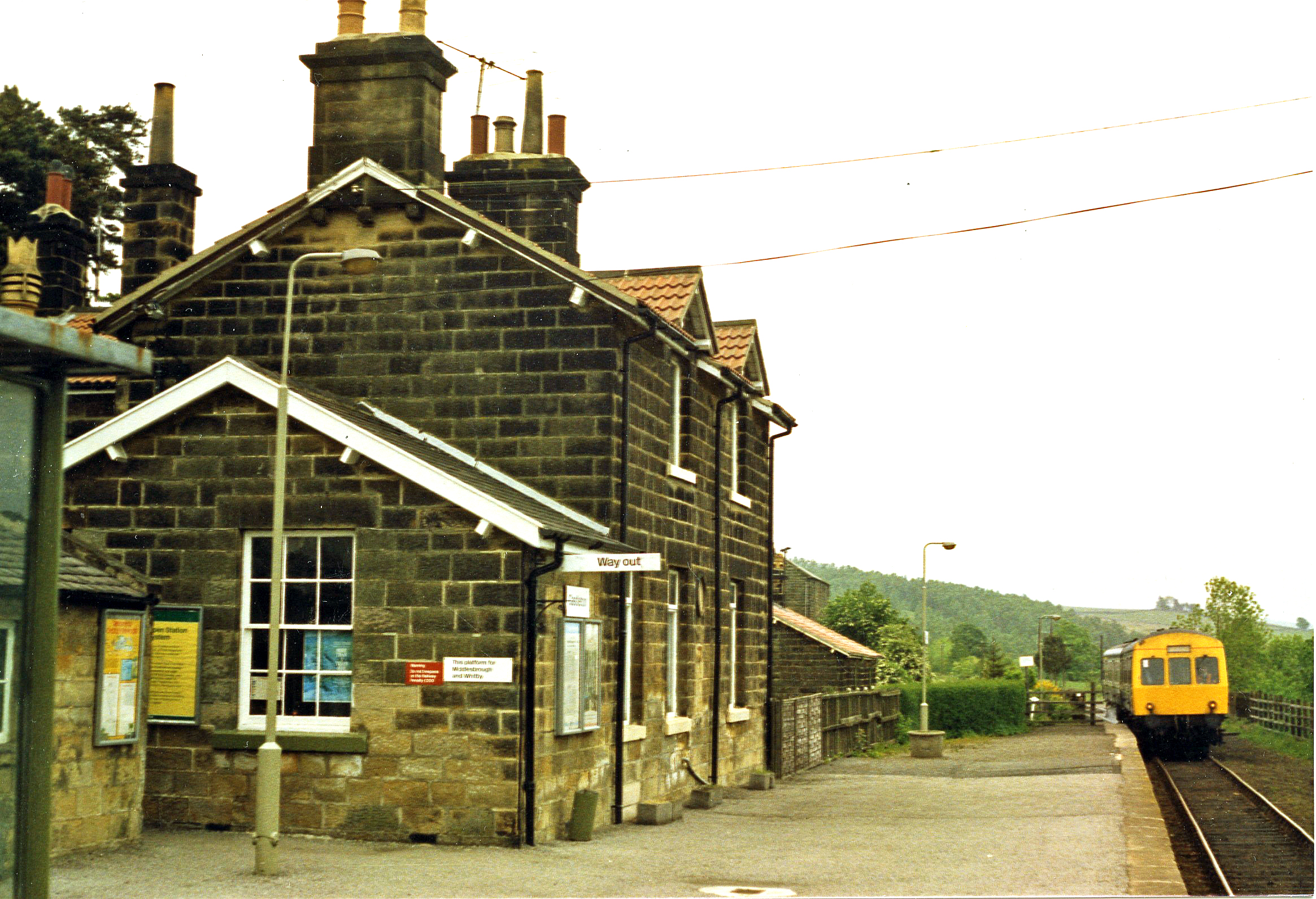
Castleton Moor railway station

Castleton Moor is a railway station on the Esk Valley Line, which runs between Middlesbrough and Whitby via Nunthorpe. The station, situated 16 miles 45...

Commondale railway station

Commondale is a railway station on the Esk Valley Line, which runs between Middlesbrough and Whitby via Nunthorpe. The station, situated 16 miles 72 chains...

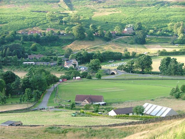
Castleton, North Yorkshire

Castleton is a village on the River Esk, part of the civil parish of Danby in the county of North Yorkshire in England. It can be found 7.1 miles (11.5...

Commondale

Commondale is a village and civil parish in the Scarborough district of North Yorkshire, England that lies within the North York Moors National Park....

Have you been to Three Howes?

Leave your review of Three Howes below (or comments, questions and feedback).