Three Howes

Heritage Site in Yorkshire Scarborough

England

Three Howes

Path over Park Rigg
Path over Park Rigg Credit: David Brown

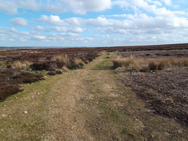
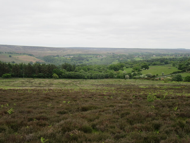
Three Howes is a group of three Bronze Age burial mounds located in the Yorkshire Dales National Park in Yorkshire, England. These burial mounds are believed to date back to around 2000-1500 BC, making them over 3,000 years old. The mounds are situated on a ridge overlooking the stunning countryside of Yorkshire, providing a peaceful and picturesque setting for visitors to explore.

Each of the three mounds at Three Howes is thought to have been used as a burial site for important individuals or families during the Bronze Age. The mounds are circular in shape and are surrounded by a shallow ditch, giving them a distinctive appearance in the landscape. The largest of the three mounds measures around 20 meters in diameter, while the other two are slightly smaller in size.

Visitors to Three Howes can take a leisurely walk to the site from nearby footpaths, enjoying the beautiful scenery and wildlife along the way. The site is a designated Scheduled Ancient Monument, recognizing its historical and cultural significance. It provides a fascinating glimpse into the lives and beliefs of the people who lived in this area thousands of years ago.

If you have any feedback on the listing, please let us know in the comments section below.

Three Howes Images

Images are sourced within 2km of 54.402/-0.775 or Grid Reference NZ7901. Thanks to Geograph Open Source API. All images are credited.

Path over Park Rigg
Path over Park Rigg
Marker stone by the road
Moorland track, Murk Mire Moor
Solitary tree at head of Birchwath Slack
Fields near Hazel Heads Looking west.
Fields near Hazel Heads
Looking west.
Hazel Heads view Looking NE from Hazel Heads.
Hazel Heads view
Looking NE from Hazel Heads.
Murk Mire Moor Looking east towards Goathland.
Murk Mire Moor
Looking east towards Goathland.
Collier Gill The Wheeldale Road just pips the grid square. This is a view south west across Collier Gill.
Collier Gill
The Wheeldale Road just pips the grid square. This is a view south west across Collier Gill.
Track to Hazel Head Taken where it leaves the Wheeldale Road.
Track to Hazel Head
Taken where it leaves the Wheeldale Road.
Dropping Down to Wheeldale Gill. Following the foresters track as it makes its way down the eastern edge of Bumble Wood.
Dropping Down to Wheeldale Gill.
Following the foresters track as it makes its way down the eastern edge of Bumble Wood.
Top Right Corner of Wheeldale Plantation. I couldn't work out the usage of this platform as this is already an elevated location.
Top Right Corner of Wheeldale Plantation.
I couldn't work out the usage of this platform as this is already an elevated location.
The Stape to Egton Bridge Road When I first used this road back in the late 60s, you were 'lucky' if you saw a car every hour.  This road could soon have motorway status now.....!
The Stape to Egton Bridge Road
When I first used this road back in the late 60s, you were 'lucky' if you saw a car every hour. This road could soon have motorway status now.....!
A minor road across Murk Mire Moor
A moor track off Wheeldale Road
A bridleway to Randy Rigg and Beck Hole
Stone on Wheeldale Moor
Box of grouse grit On the burnt heather moorland are placed boxes like these containing grouse grit.  This provides nutrients for the birds to feed and grow, one of the essentials for providing healthy birds to be shot for sport.
Box of grouse grit
On the burnt heather moorland are placed boxes like these containing grouse grit. This provides nutrients for the birds to feed and grow, one of the essentials for providing healthy birds to be shot for sport.
Path across Egton High Moor The public footpath does not exactly follow this track, but this is far easier to walk and we're on open access land anyway.
Path across Egton High Moor
The public footpath does not exactly follow this track, but this is far easier to walk and we're on open access land anyway.
Show me another place!

Three Howes is located at Grid Ref: NZ7901 (Lat: 54.402, Lng: -0.775)

Division: North Riding

Administrative County: North Yorkshire

District: Scarborough

Police Authority: North Yorkshire

What 3 Words

///stage.mildest.lordship. Near Sleights, North Yorkshire

Nearby Locations

Three Howes Brown Hill

Related Wikis

Beckhole railway station

Beckhole railway station was a railway station at Beck Hole in the North Yorkshire Moors on part of the original Whitby and Pickering Railway line. Although...

North York Moors

The North York Moors is an upland area in north-eastern Yorkshire, England. It contains one of the largest expanses of heather moorland in the United Kingdom...

Birch Hall Inn

Birch Hall Inn is a public house founded around 1860 in Beck Hole in the North York Moors, England. It is designated as a Grade II listed building. It...
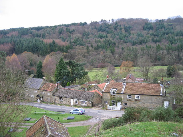
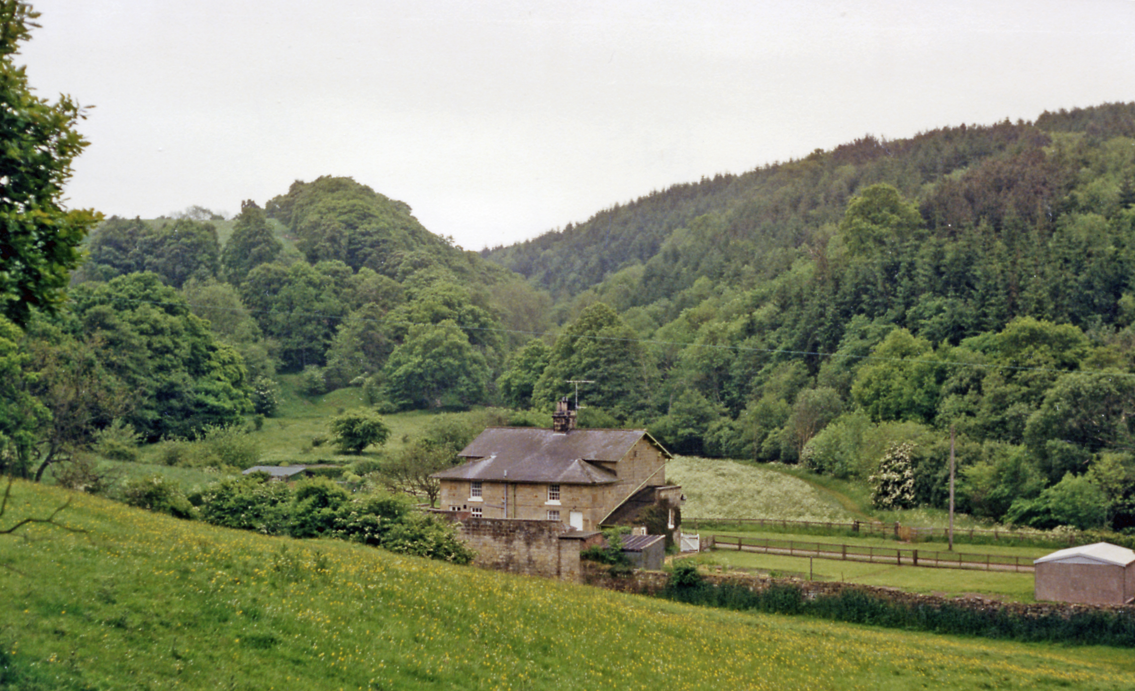
Beck Hole

Beck Hole is a small valley village in the Borough of Scarborough, North Yorkshire, England. The village lies within the Goathland civil parish and the...

Nearby Amenities

Located within 500m of 54.402,-0.775
Leisure: bird_hide
Lat/Long: 54.3994791/-0.7770541
Leisure: bird_hide
Lat/Long: 54.3988789/-0.7775548
Leisure: bird_hide
Lat/Long: 54.4013237/-0.7727026
Leisure: bird_hide
Lat/Long: 54.401566/-0.7722169
Leisure: bird_hide
Lat/Long: 54.401822/-0.7717637
Leisure: bird_hide
Lat/Long: 54.4020754/-0.7712884
Leisure: bird_hide
Lat/Long: 54.4026262/-0.7702621
Leisure: bird_hide
Lat/Long: 54.4028978/-0.7696801
Leisure: bird_hide
Lat/Long: 54.4031615/-0.7691914
Leisure: bird_hide
Lat/Long: 54.4034305/-0.7686628
Egton High Moor
Place: locality
Lat/Long: 54.4005226/-0.7759095
The data included in this document is from www.openstreetmap.org. The data is made available under ODbL.

Have you been to Three Howes?

Leave your review of Three Howes below (or comments, questions and feedback).