The Homewood
Heritage Site in Surrey Elmbridge
England
The Homewood

The Homewood, situated in Surrey, England, is a renowned heritage site that showcases the architectural brilliance of the 20th century. Designed by renowned architect Patrick Gwynne, it stands as a remarkable example of modernist architecture in the country. The Homewood was constructed between 1937 and 1938 for Gwynne's parents, and it remains one of his most significant works.
This exceptional building is nestled within a picturesque woodland setting, providing a serene and tranquil atmosphere. The Homewood is characterized by its clean lines, geometric shapes, and extensive use of glass, which not only allows abundant natural light to flood the interior but also offers stunning views of the surrounding landscape.
The house features three floors, each thoughtfully designed and meticulously planned. The ground floor comprises a spacious entrance hall, a drawing room, a dining room, and a kitchen. The upper two levels encompass the bedrooms, bathrooms, and living areas, all exuding an ambiance of elegance and sophistication.
The Homewood is notable for its integration with the surrounding nature. Gwynne designed the gardens to complement the architecture, incorporating terraces, lawns, and a swimming pool that seamlessly blend with the natural contours of the land.
Recognized as a Grade II* listed building, The Homewood is a remarkable example of modernist architecture that continues to captivate visitors and architectural enthusiasts alike. Its unique design, combined with its harmonious integration with the natural environment, makes it a significant heritage site in Surrey and an important part of the architectural history of the United Kingdom.
If you have any feedback on the listing, please let us know in the comments section below.
The Homewood Images
Images are sourced within 2km of 51.349/-0.388 or Grid Reference TQ1262. Thanks to Geograph Open Source API. All images are credited.


The Homewood is located at Grid Ref: TQ1262 (Lat: 51.349, Lng: -0.388)
Administrative County: Surrey
District: Elmbridge
Police Authority: Surrey
What 3 Words
///rivers.liked.copies. Near Cobham, Surrey
Nearby Locations
Related Wikis

The Homewood
The Homewood is a modernist house in Esher, Surrey, England. Designed by architect Patrick Gwynne for his parents, The Homewood was given by Gwynne to...

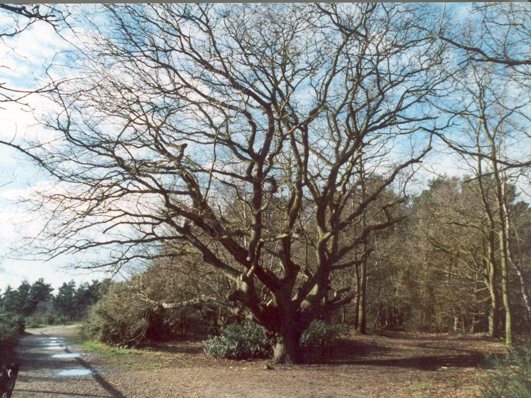
West End Common
West End Common is a 70.3-hectare (174-acre) Local Nature Reserve on the north-western outskirts of Esher in Surrey. It is owned and managed by Elmbridge...

ACS International Schools
ACS International Schools is a group of four independent schools catering for local and international families - three in England and one in Qatar. Until...

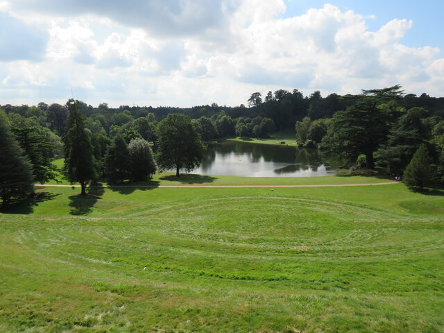
Claremont Landscape Garden
Claremont Landscape Garden, just outside Esher, Surrey, England, is one of the earliest surviving gardens of its kind of landscape design, the English...

Esher and Walton (UK Parliament constituency)
Esher and Walton () is a constituency in Surrey represented in the House of Commons of the UK Parliament. Since 2010, it has been represented by Dominic...
Esher (UK Parliament constituency)
Esher was a borough constituency represented in the House of Commons of the Parliament of the United Kingdom. It elected one Member of Parliament (MP)...
Esher Commons
Esher Commons is a 360.1-hectare (890-acre) biological Site of Special Scientific Interest south-west of Esher in Surrey. It includes Esher Common, Fairmile...

Claremont (country house)
Claremont, also known historically as 'Clermont', is an 18th-century Palladian mansion less than a mile south of the centre of Esher in Surrey, England...
Nearby Amenities
Located within 500m of 51.349,-0.388Have you been to The Homewood?
Leave your review of The Homewood below (or comments, questions and feedback).