Black Pond

Lake, Pool, Pond, Freshwater Marsh in Surrey Elmbridge

England

Black Pond

Oxshott railway station  Oxshott railway station entrance seen from the car park. The station opened in 1885 and is operated and served by South Western Railway.
Oxshott railway station Credit: Daniel Parks

Black Pond is a stunning freshwater feature located in the county of Surrey, England. This natural beauty is situated within the grounds of Windsor Great Park, near the village of Virginia Water. With an area of approximately 12 acres, Black Pond is a popular destination for locals and tourists alike.

The pond boasts crystal-clear waters that reflect the surrounding lush greenery, creating a picturesque and tranquil atmosphere. It is believed to have originated as a result of the Ice Age, when glaciers carved out the landscape, leaving behind this enchanting body of water.

Black Pond is surrounded by a diverse range of flora and fauna, making it a haven for wildlife enthusiasts. The surrounding woodlands and wetlands provide a habitat for numerous species of birds, including herons, ducks, and kingfishers. On a warm summer's day, visitors can often spot dragonflies and butterflies flitting around the water's edge.

The pond itself offers recreational opportunities for visitors. Swimming is allowed in designated areas, and the calm waters make it an ideal spot for beginners and families. Fishing is also a popular activity, with anglers trying their luck at catching perch, pike, and roach.

A well-maintained footpath encircles Black Pond, allowing visitors to take leisurely strolls and enjoy the serene ambiance. Benches are strategically placed along the path, providing a perfect spot for picnics or simply to sit and admire the natural beauty.

Overall, Black Pond in Surrey is a hidden gem that offers a peaceful retreat from the hustle and bustle of everyday life. With its stunning scenery, diverse wildlife, and recreational opportunities, it truly is a must-visit destination for nature lovers and those seeking a moment of tranquility.

If you have any feedback on the listing, please let us know in the comments section below.
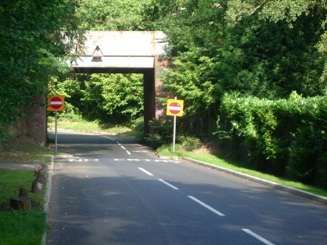
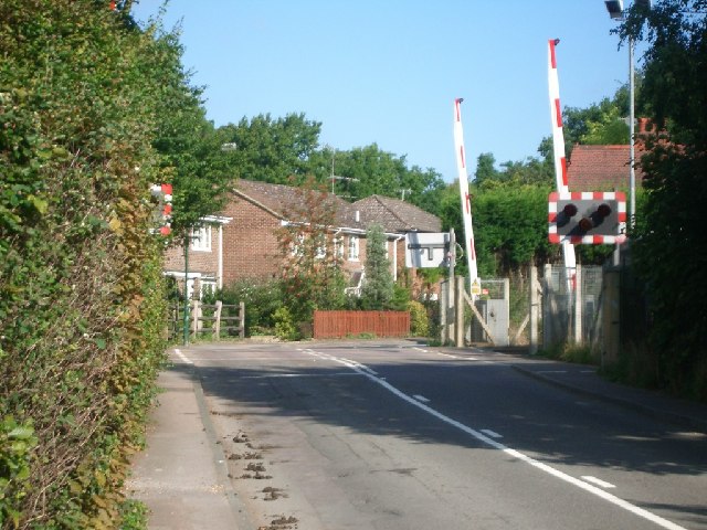
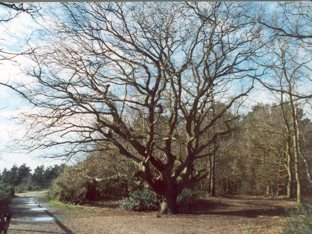
Black Pond Images

Images are sourced within 2km of 51.347941/-0.38124971 or Grid Reference TQ1262. Thanks to Geograph Open Source API. All images are credited.

Oxshott railway station  Oxshott railway station entrance seen from the car park. The station opened in 1885 and is operated and served by South Western Railway.
Oxshott railway station
Oxshott railway station entrance seen from the car park. The station opened in 1885 and is operated and served by South Western Railway.
Claremont Landscape Gardens A view across the lake - sadly too early to catch the autumn colour. Claremont Landscape Gardens were originally created for Claremont House and represents the work of some of the best known landscape gardeners, such as Charles Bridgeman, Capability Brown, William Kent and Sir John Vanbrugh. Work on the gardens began around 1715 making it one of the earliest surviving gardens of its kind of landscape design still featuring its original 18th-century layout.
Claremont Landscape Gardens
A view across the lake - sadly too early to catch the autumn colour. Claremont Landscape Gardens were originally created for Claremont House and represents the work of some of the best known landscape gardeners, such as Charles Bridgeman, Capability Brown, William Kent and Sir John Vanbrugh. Work on the gardens began around 1715 making it one of the earliest surviving gardens of its kind of landscape design still featuring its original 18th-century layout.
The Amphitheatre, Claremont This unusual turfed amphitheatre is set within the grounds of Claremont Landscape Gardens, overlooking the lake. It used to form the centrepiece of an annual event called the Claremont Fête champêtre. Hundreds of visitors descended on Claremont, most in costume (each year has a different theme) to enjoy four days of music, theatre and fireworks.
The Amphitheatre, Claremont
This unusual turfed amphitheatre is set within the grounds of Claremont Landscape Gardens, overlooking the lake. It used to form the centrepiece of an annual event called the Claremont Fête champêtre. Hundreds of visitors descended on Claremont, most in costume (each year has a different theme) to enjoy four days of music, theatre and fireworks.
Thatched Cottage, Claremont The single roomed Thatched Cottage at Claremont Landscape Gardens dates from the Victorian Era.
Thatched Cottage, Claremont
The single roomed Thatched Cottage at Claremont Landscape Gardens dates from the Victorian Era.
Prince of Wales, West End Chef & Brewer pub facing the green at West End.
Prince of Wales, West End
Chef & Brewer pub facing the green at West End.
Claremont Landscape Garden The gardens were originally created by the Duke of Newcastle but were made famous by Prince Leopold and his wife, Princess Charlotte, who loved the park. 

The three-acre grass amphitheatre on the far side of the lake dates from 1725 to a design of Charles Bridgeman (later Royal Gardener and designer of the Round Pond in Kensington Gardens). 

The gardens are now owned by the National Trust.
Claremont Landscape Garden
The gardens were originally created by the Duke of Newcastle but were made famous by Prince Leopold and his wife, Princess Charlotte, who loved the park. The three-acre grass amphitheatre on the far side of the lake dates from 1725 to a design of Charles Bridgeman (later Royal Gardener and designer of the Round Pond in Kensington Gardens). The gardens are now owned by the National Trust.
Claremont Landscape Garden Looking across the ornamental lake at the National Trust-owned garden.
Claremont Landscape Garden
Looking across the ornamental lake at the National Trust-owned garden.
Small Lodge At the corner of Miles Lane and Fairmile Park Road.
Small Lodge
At the corner of Miles Lane and Fairmile Park Road.
Old Milestone by A307 (was A3), just East of junction with Fairmile lane The Milestone is located by the road.  Parish of Fairmile (Elmsbridge District). Carved stone post, Guildford facets design, erected by the Kingston & Sheetbridge, 1st District turnpike trust in the 19th Century. 

Inscription reads:-  
Hyde Park Corner / 16  : : Cobham / ?  : : Esher / 2 : : 53 / Portsmouth

Milestone Society National ID: SY_LP16
Old Milestone by A307 (was A3), just East of junction with Fairmile lane
The Milestone is located by the road.  Parish of Fairmile (Elmsbridge District). Carved stone post, Guildford facets design, erected by the Kingston & Sheetbridge, 1st District turnpike trust in the 19th Century.  Inscription reads:- Hyde Park Corner / 16 : : Cobham / ? : : Esher / 2 : : 53 / Portsmouth Milestone Society National ID: SY_LP16
Arbrook Farm Cottages Looking south-west from Birchwood Lane.
Arbrook Farm Cottages
Looking south-west from Birchwood Lane.
Railway bridge over Heath Road Looking north-west.
Railway bridge over Heath Road
Looking north-west.
Oxshott railway station
Level crossing at Blundel Lane Looking north.
Level crossing at Blundel Lane
Looking north.
Water Lane looking south-west
Water Lane
looking south-west
Farmland in Elmbridge district South of Hersham Village, near the River Ember
Farmland in Elmbridge district
South of Hersham Village, near the River Ember
Houses on the north side of Winterdown Road looking north-east
Houses on the north side of Winterdown Road
looking north-east
Courtlands Avenue looking north-west from Stony Hill
Courtlands Avenue
looking north-west from Stony Hill
Esher Common cycle route At the junction with Portsmouth Road, looking NNE
Esher Common cycle route
At the junction with Portsmouth Road, looking NNE
Show me another place!

Black Pond is located at Grid Ref: TQ1262 (Lat: 51.347941, Lng: -0.38124971)

Administrative County: Surrey

District: Elmbridge

Police Authority: Surrey

What 3 Words

///lamps.gladiators.poet. Near Esher, Surrey

Related Wikis

The Homewood

The Homewood is a modernist house in Esher, Surrey, England. Designed by architect Patrick Gwynne for his parents, The Homewood was given by Gwynne to...

Esher and Walton (UK Parliament constituency)

Esher and Walton () is a constituency in Surrey represented in the House of Commons of the UK Parliament. Since 2010, it has been represented by Dominic...

Esher (UK Parliament constituency)

Esher was a borough constituency represented in the House of Commons of the Parliament of the United Kingdom. It elected one Member of Parliament (MP)...

West End Common

West End Common is a 70.3-hectare (174-acre) Local Nature Reserve on the north-western outskirts of Esher in Surrey. It is owned and managed by Elmbridge...

Esher Commons

Esher Commons is a 360.1-hectare (890-acre) biological Site of Special Scientific Interest south-west of Esher in Surrey. It includes Esher Common, Fairmile...

Claremont Landscape Garden

Claremont Landscape Garden, just outside Esher, Surrey, England, is one of the earliest surviving gardens of its kind of landscape design, the English...

Reed's School

Reed's School is an independent secondary boarding school for boys with a mixed sixth form located in Cobham, Surrey, England. There are currently around...

Claremont (country house)

Claremont, also known historically as 'Clermont', is an 18th-century Palladian mansion less than a mile south of the centre of Esher in Surrey, England...

Nearby Amenities

Located within 500m of 51.347941,-0.38124971
Bus Stop
Blackhills
Bench: no
Naptan AtcoCode: 40004405030A
Naptan Bearing: SW
Naptan CommonName: Blackhills
Naptan Indicator: Just after
Naptan Landmark: Blackhills
Naptan NaptanCode: suradwdp
Naptan Street: Portsmouth Road
Naptan Verified: no
Public Transport: platform
Shelter: no
Source: naptan_import
Tactile Paving: no
Lat/Long: 51.3516734/-0.3849781
Bus Stop
Blackhills
Naptan AtcoCode: 40004405030B
Naptan Bearing: NE
Naptan CommonName: Blackhills
Naptan Indicator: Just Before
Naptan Landmark: Blackhills
Naptan NaptanCode: suradwdt
Naptan Street: Portsmouth Road
Naptan Verified: no
Public Transport: platform
Shelter: no
Source: naptan_import
Tactile Paving: no
Lat/Long: 51.3514081/-0.3853162
Power: tower
Lat/Long: 51.3500264/-0.3793987
Power: tower
Lat/Long: 51.3505092/-0.3839429
Barrier: bollard
Bollard: fixed
Material: metal
Lat/Long: 51.35126/-0.383771
Bench
Backrest: no
Material: wood
Lat/Long: 51.3447951/-0.3763099
Traffic Calming: bump
Lat/Long: 51.3519825/-0.3829296
Traffic Calming: bump
Lat/Long: 51.351998/-0.3823509
Traffic Calming: bump
Lat/Long: 51.3522623/-0.3799678
The data included in this document is from www.openstreetmap.org. The data is made available under ODbL.

Have you been to Black Pond?

Leave your review of Black Pond below (or comments, questions and feedback).