The Hurlers
Heritage Site in Cornwall
England
The Hurlers
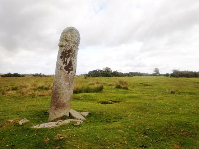
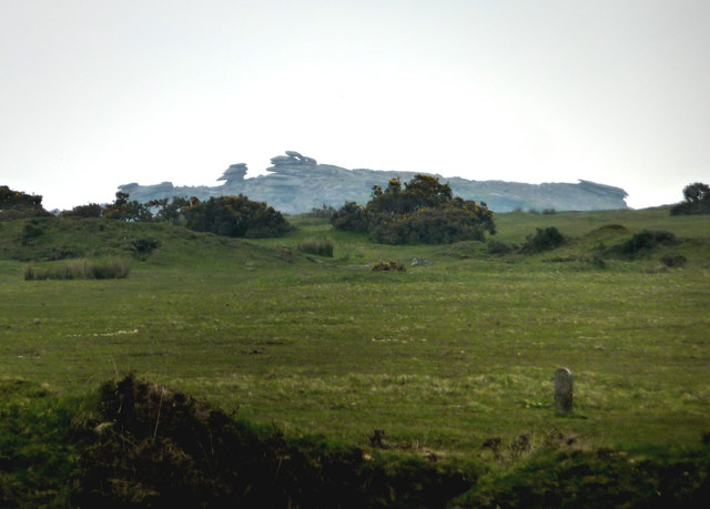
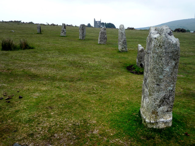
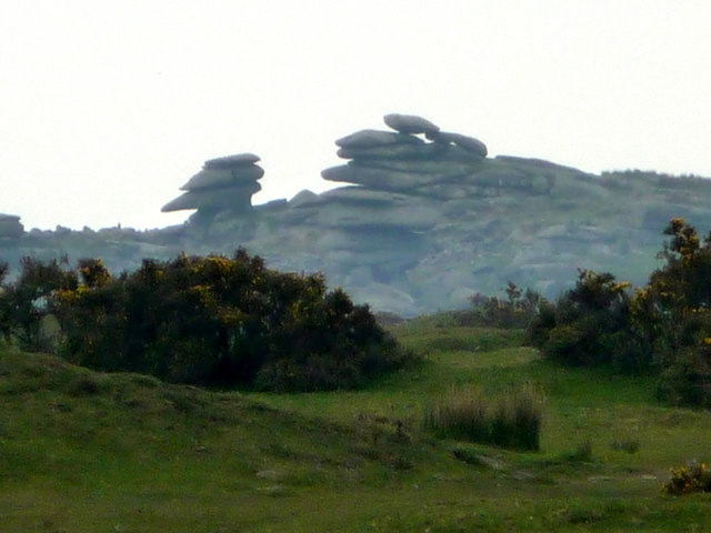
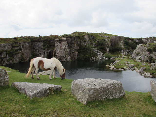
The Hurlers is a unique heritage site located in Cornwall, England. It consists of a group of three stone circles dating back to the Bronze Age, believed to have been constructed around 1500 BC. The circles are located near the village of Minions on Bodmin Moor, an area known for its rich archaeological history.
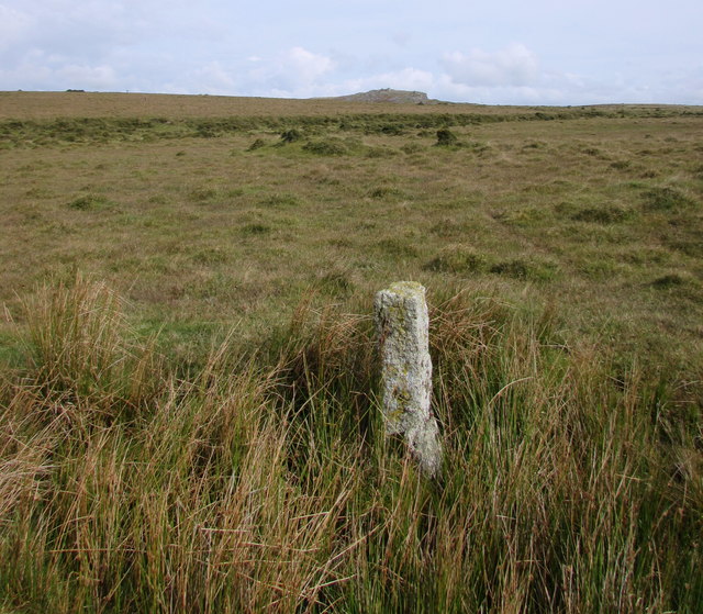
The largest of the three circles is known as the "Hurlers," while the other two are referred to as the "Pipers." The circles are made up of large granite stones, some of which are thought to have been originally brought from as far as 10 miles away. The purpose of these circles is unknown, but they are believed to have been used for rituals, ceremonies, or as a form of ancient astronomical observatories.
The Hurlers are a popular tourist attraction and are protected as a scheduled ancient monument. Visitors can walk among the stones and explore the surrounding landscape, taking in the history and mystery of this ancient site. The Hurlers are a fascinating glimpse into Cornwall's ancient past and continue to intrigue historians and archaeologists to this day.
If you have any feedback on the listing, please let us know in the comments section below.
The Hurlers Images
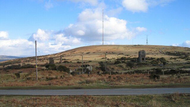
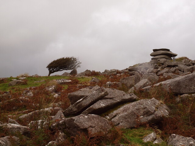
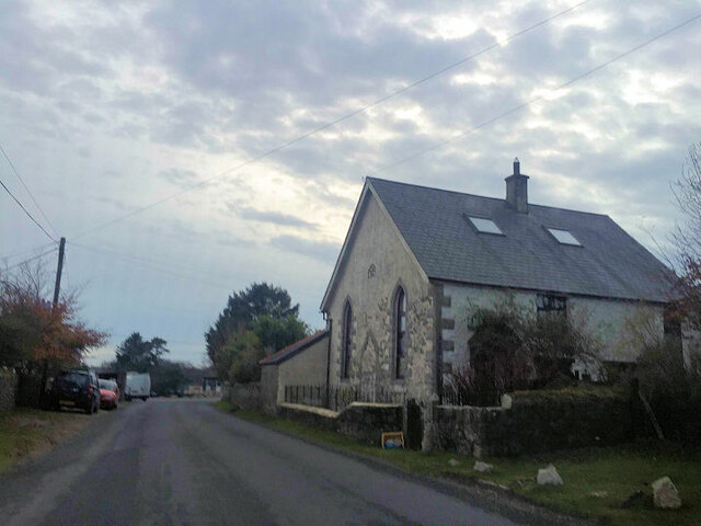
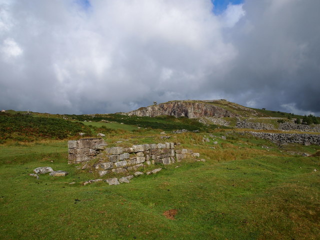
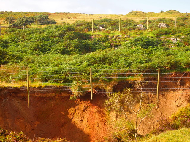
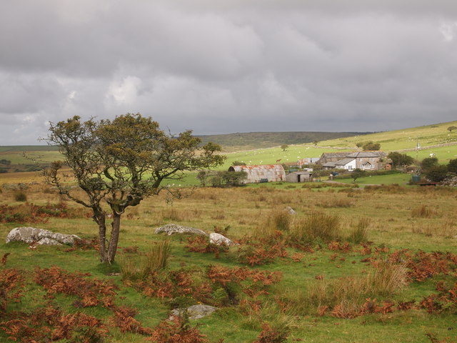
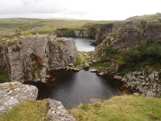
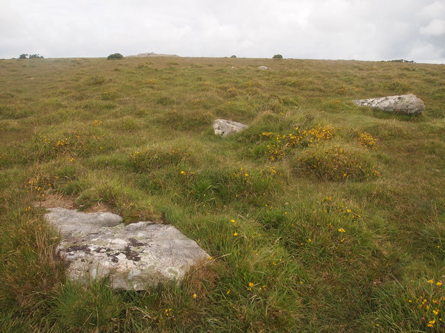
Images are sourced within 2km of 50.517/-4.462 or Grid Reference SX2571. Thanks to Geograph Open Source API. All images are credited.
The Hurlers is located at Grid Ref: SX2571 (Lat: 50.517, Lng: -4.462)
Unitary Authority: Cornwall
Police Authority: Devon and Cornwall
What 3 Words
///spooned.chugging.carver. Near Pensilva, Cornwall
Nearby Locations
Related Wikis
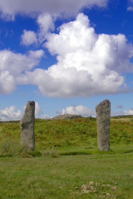
The Pipers
The Pipers are a pair of standing stones near The Hurlers stone circles, located on Bodmin Moor near the village of Minions, Cornwall, UK. They share the...
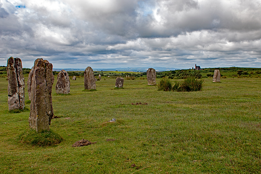
The Hurlers (stone circles)
The Hurlers (Cornish: An Hurlysi) is a group of three stone circles in the civil parish of St Cleer, Cornwall, England, UK. The site is half-a-mile (0...

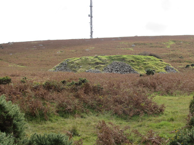
Rillaton Barrow
Rillaton Barrow (Cornish: Krug Reslegh) is a Bronze Age round barrow in Cornwall, UK. The site is on the eastern flank of Bodmin Moor in the parish of...

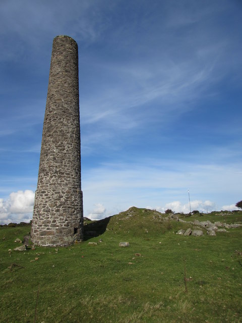
Minions, Cornwall
Minions (Cornish: Menyon) is a village in Cornwall, England, United Kingdom. It is situated on the eastern flank of Bodmin Moor northwest of Caradon Hill...
Nearby Amenities
Located within 500m of 50.517,-4.462Have you been to The Hurlers?
Leave your review of The Hurlers below (or comments, questions and feedback).