The Cockpit

Heritage Site in Westmorland

England

The Cockpit

Cattle, Riddingleys Top
Cattle, Riddingleys Top Credit: Ian Taylor

The Cockpit in Westmorland is a historic heritage site located in the county of Cumbria, England. It is a unique and well-preserved example of a former cockfighting pit, dating back to the 18th century. Cockfighting was a popular blood sport in England during this period, and The Cockpit stands as a testament to this dark chapter in the nation's history.

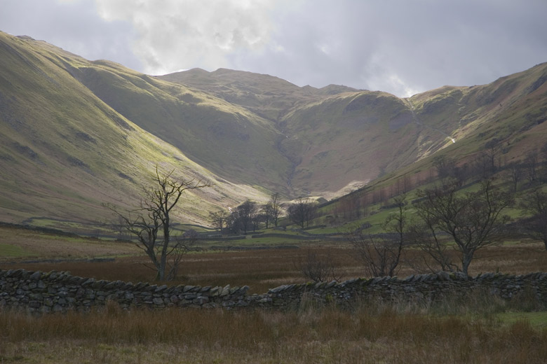
The site itself is situated in a rural area, nestled amidst picturesque rolling hills and farmland. The Cockpit consists of a circular sunken arena, surrounded by stone walls and earthen banks. It is believed to have been used for both cockfighting and other forms of entertainment, such as bull-baiting and bear-baiting.

The design of The Cockpit is unique, with a diameter of approximately 50 feet and a depth of around 6 feet. The walls are made of local stone, and the earth that forms the banks was likely excavated from the pit itself. The site is now overgrown with grass and moss, adding to its rustic charm.

Today, The Cockpit serves as a reminder of the cruel and violent pastime of cockfighting, which was eventually banned in 1835 due to growing public disapproval. The site is open to the public, allowing visitors to explore and learn about this historical practice. It provides an opportunity to reflect on the evolution of society's attitudes towards animal welfare and the cultural shifts that have taken place over the centuries.

If you have any feedback on the listing, please let us know in the comments section below.

The Cockpit Images

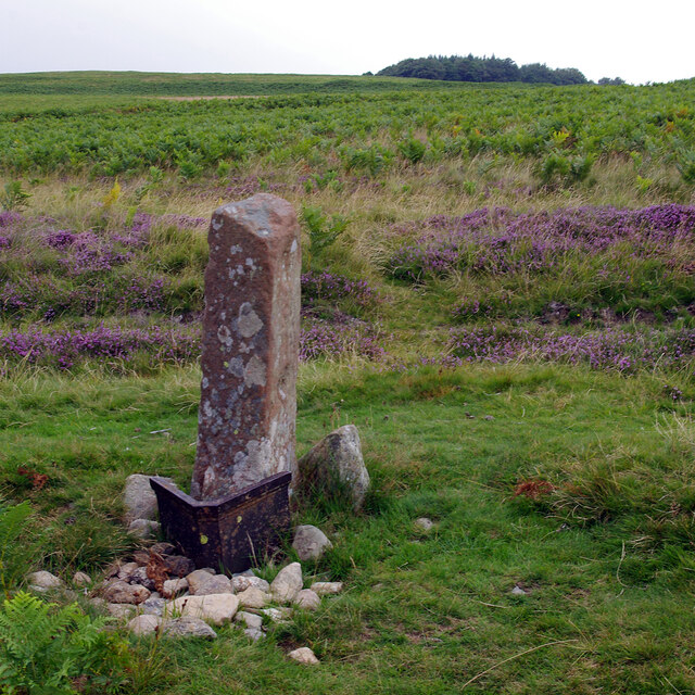
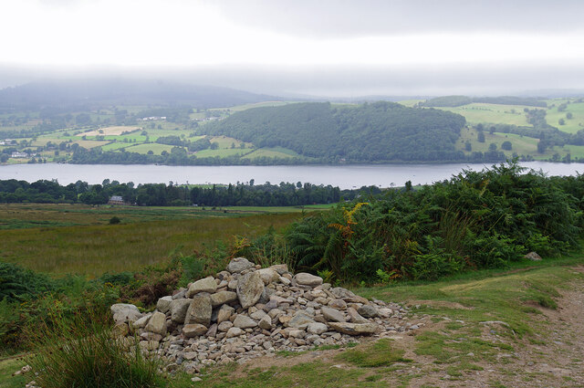
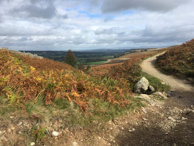
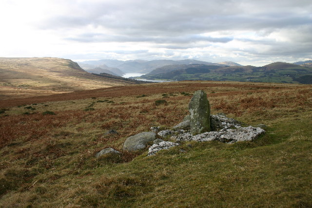
Images are sourced within 2km of 54.595/-2.797 or Grid Reference NY4822. Thanks to Geograph Open Source API. All images are credited.

Cattle, Riddingleys Top
Finger post, Riddingleys Top
Fell ponies, Riddingleys Top
Boundary stone, Ketley Gate See <a href="https://www.geograph.org.uk/photo/6462500">NY4822 : Old Boundary Marker</a> for more information.
Boundary stone, Ketley Gate
See NY4822 : Old Boundary Marker for more information.
Cairn below Heughscar Hill
Cairn circle, Moor Divock
Cop Stone, Moor Divock
Path crossing Aik Beck
Old Boundary Marker on Heughscar Hill Parish Boundary Marker 150 metres south of the top of Heughscar Hill. On the boundary of Barton and Askham parishes. See also <a title="https://www.geograph.org.uk/photo/3191051" href="https://www.geograph.org.uk/photo/3191051">Link</a> and <a title="https://www.geograph.org.uk/photo/5906270" href="https://www.geograph.org.uk/photo/5906270">Link</a>.

Milestone Society National ID: WE_BART06pb
Old Boundary Marker on Heughscar Hill
Parish Boundary Marker 150 metres south of the top of Heughscar Hill. On the boundary of Barton and Askham parishes. See also Link and Link. Milestone Society National ID: WE_BART06pb
Old Boundary Marker at Threepow Raise Parish Boundary Marker at Threepow Raise, 720 metres southwest of Ketley Gate. On the boundary of Barton and Askham parishes. Inscribed L on its east face.

Milestone Society National ID: WE_BART10pb
Old Boundary Marker at Threepow Raise
Parish Boundary Marker at Threepow Raise, 720 metres southwest of Ketley Gate. On the boundary of Barton and Askham parishes. Inscribed L on its east face. Milestone Society National ID: WE_BART10pb
Old Boundary Marker on Brown Rigg Parish Boundary Marker on Brown Rigg, 1970 metres southwest of Ketley Gate. On the boundary of Barton and Askham parishes. See also <a title="https://www.geograph.org.uk/photo/2852174" href="https://www.geograph.org.uk/photo/2852174">Link</a>.

Milestone Society National ID: WE_BART11pb
Old Boundary Marker on Brown Rigg
Parish Boundary Marker on Brown Rigg, 1970 metres southwest of Ketley Gate. On the boundary of Barton and Askham parishes. See also Link. Milestone Society National ID: WE_BART11pb
Heltonhead Looking down the unclassified road to Helton.
Heltonhead
Looking down the unclassified road to Helton.
Mini Reservoir Shown as just a small square on the OS map, this is clearly constructed and has an outflow but none in - being on limestone it is probably a modified rising.
Mini Reservoir
Shown as just a small square on the OS map, this is clearly constructed and has an outflow but none in - being on limestone it is probably a modified rising.
Farmland Between Plantations Grazed by sheep. There are gamebird rearing pens in the woods to the right.
Farmland Between Plantations
Grazed by sheep. There are gamebird rearing pens in the woods to the right.
Mirebank Plantation On the open, wild fells above Askham, this straight-sided plantation looks very out-of-place.
Mirebank Plantation
On the open, wild fells above Askham, this straight-sided plantation looks very out-of-place.
Ponies on Rough Land The grazing here is too poor to support ponies and horses, hence the hay feed. The area is criss-crossed with bridleways, and riding is a popular pastime and industry here.
Ponies on Rough Land
The grazing here is too poor to support ponies and horses, hence the hay feed. The area is criss-crossed with bridleways, and riding is a popular pastime and industry here.
Walled track near Helton
Show me another place!

The Cockpit is located at Grid Ref: NY4822 (Lat: 54.595, Lng: -2.797)

Administrative County: Cumbria

Police Authority: Cumbria

What 3 Words

///connector.pioneered.burns. Near Penrith, Cumbria

Nearby Locations

The Cockpit

Related Wikis

Heughscar Hill

Heughscar Hill is a hill in the east of the English Lake District, east of Ullswater and north of High Street, Cumbria. It is the subject of a chapter...

Barton and Pooley Bridge

Barton and Pooley Bridge is a civil parish in Eden District, Cumbria, England. The parish is on the edge of the Lake District National Park, and had a...

Boredale Hause

Boredale Hause is a mountain pass between Place Fell and Angletarn Pikes in the east of the English Lake District. It links the Patterdale and Boredale...

Ullswater Way

The Ullswater Way is a 20-mile (32 km) waymarked walking route around Ullswater in the English Lake District. It was created by a partnership which included...

Nearby Amenities

Located within 500m of 54.595,-2.797
Ford: yes
Lat/Long: 54.5926105/-2.8030426
Pulpit Holes
Natural: sinkhole
Note: Numerous natural sinkholes/Shake holes
Lat/Long: 54.5928649/-2.7928452
Natural: sinkhole
Note: Numerous natural sinkholes/Shake holes
Lat/Long: 54.5940302/-2.7962375
Ketley Gate
Place: locality
Lat/Long: 54.5945979/-2.7954968
Natural: sinkhole
Lat/Long: 54.5943113/-2.7961171
Natural: sinkhole
Lat/Long: 54.5939555/-2.7955554
Natural: sinkhole
Lat/Long: 54.5935515/-2.7938855
Natural: sinkhole
Lat/Long: 54.5929361/-2.7932904
Natural: sinkhole
Lat/Long: 54.5935136/-2.7912398
Natural: sinkhole
Lat/Long: 54.5930012/-2.790752
Natural: sinkhole
Lat/Long: 54.5929306/-2.7910289
Natural: sinkhole
Lat/Long: 54.5929755/-2.7914498
Natural: sinkhole
Lat/Long: 54.5925712/-2.7924134
Natural: sinkhole
Lat/Long: 54.5925712/-2.7929229
Natural: sinkhole
Lat/Long: 54.5936814/-2.7942189
Natural: sinkhole
Lat/Long: 54.5951317/-2.7963345
Natural: sinkhole
Lat/Long: 54.594838/-2.7974408
Tourism: viewpoint
Lat/Long: 54.5971448/-2.8022956
Roman Seat
Tourism: artwork
Lat/Long: 54.5971534/-2.8021554
Archaeological Site: tumulus
Historic: archaeological_site
Wikidata: Q17643484
Lat/Long: 54.595131/-2.7941591
Archaeological Site: tumulus
Historic: archaeological_site
Wikidata: Q17643500
Lat/Long: 54.5947246/-2.7920415
White Raise cairn
Archaeological Site: tumulus
Historic: archaeological_site
Image: https://www.geograph.org.uk/photo/3190919
Lat/Long: 54.5945941/-2.7927402
Fixme: Confirm location
Hiking: yes
Information: guidepost
Tourism: information
Lat/Long: 54.5949251/-2.795248
Historic: boundary_stone
Image: https://www.geograph.org.uk/photo/6462500
Lat/Long: 54.5951022/-2.795873
Natural: sinkhole
Lat/Long: 54.5983029/-2.7938276
Natural: sinkhole
Lat/Long: 54.5981603/-2.7927186
Natural: sinkhole
Lat/Long: 54.5984366/-2.7921802
Natural: sinkhole
Lat/Long: 54.5981826/-2.7931008
Natural: sinkhole
Lat/Long: 54.5982074/-2.7933261
Natural: sinkhole
Lat/Long: 54.5982385/-2.7935246
Natural: sinkhole
Lat/Long: 54.5980645/-2.7923176
Natural: sinkhole
Lat/Long: 54.5980552/-2.7921352
The data included in this document is from www.openstreetmap.org. The data is made available under ODbL.

Have you been to The Cockpit?

Leave your review of The Cockpit below (or comments, questions and feedback).