The Chase, Woolton Hill

Heritage Site in Hampshire Basingstoke and Deane

England

The Chase, Woolton Hill

Bridge on the A34 near Newbury The bridge crosses the minor road in the middle of the northern half of the grid square. The picture was taken from the south side looking north.
Bridge on the A34 near Newbury Credit: Pam Brophy

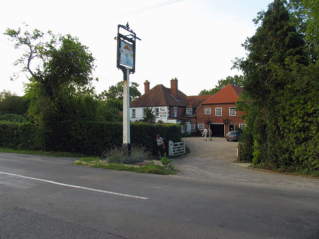
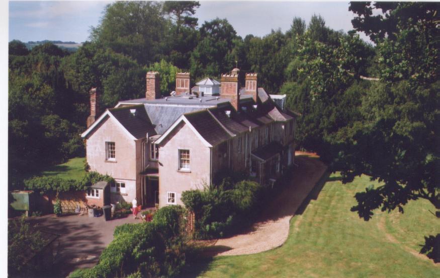
The Chase, located in Woolton Hill, Hampshire, is a historically significant heritage site that dates back to the 19th century. This grand estate sits on sprawling grounds of approximately 200 acres, boasting lush gardens, manicured lawns, and picturesque views of the surrounding countryside.

Originally built as a country residence, The Chase has undergone several changes and additions over the years. The main house, constructed in the Victorian era, features an impressive architectural style characterized by its red brickwork, ornate detailing, and large sash windows. The interior boasts spacious rooms with high ceilings, intricate woodwork, and elegant décor, providing a glimpse into the opulence of the past.

Beyond the main house, The Chase's grounds are equally captivating. The gardens, meticulously maintained, showcase a diverse range of flora, including vibrant flower beds, towering trees, and well-manicured hedges. Strolling through the grounds, visitors can enjoy the tranquility and beauty of the natural surroundings.

The Chase is not only admired for its architectural and natural splendor but also for its historical significance. Over the years, it has been associated with notable figures from Hampshire's past, including influential families and prominent individuals who played a role in shaping the region's history.

Today, The Chase continues to be a cherished heritage site, attracting visitors who are eager to explore its rich history, admire its architectural beauty, and immerse themselves in the idyllic charm of the Hampshire countryside.

If you have any feedback on the listing, please let us know in the comments section below.

The Chase, Woolton Hill Images

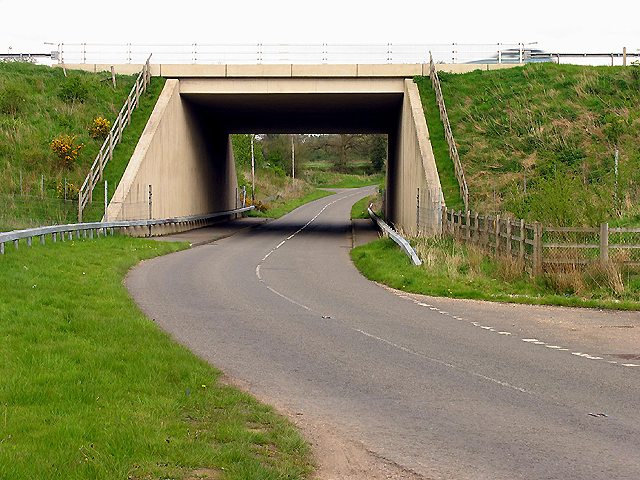
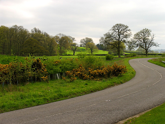
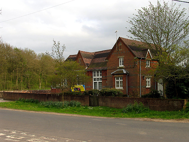
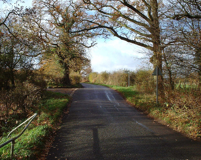
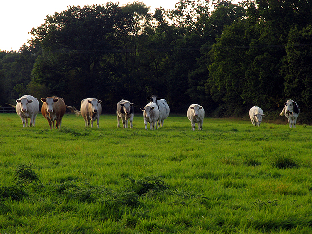
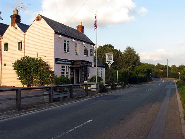
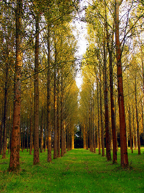
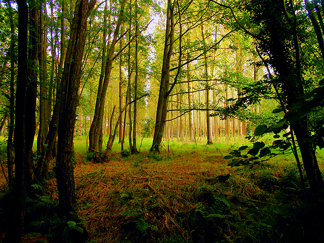
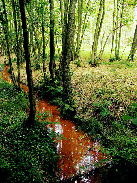
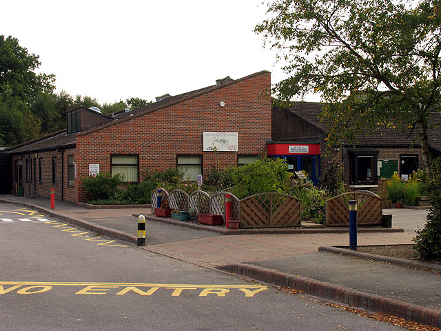
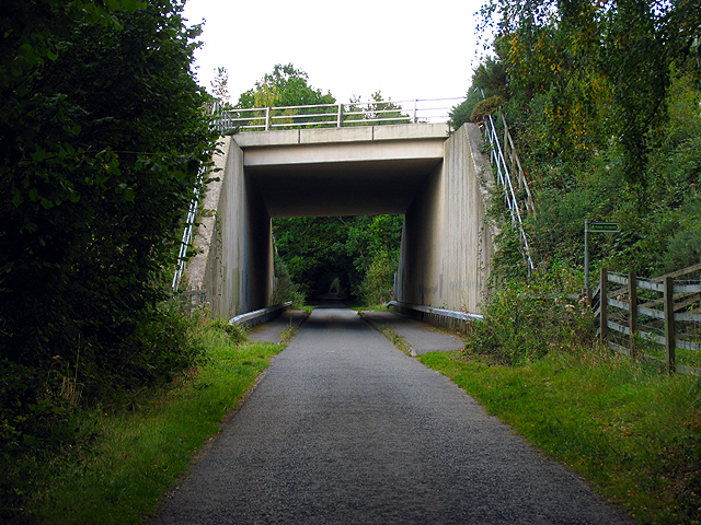
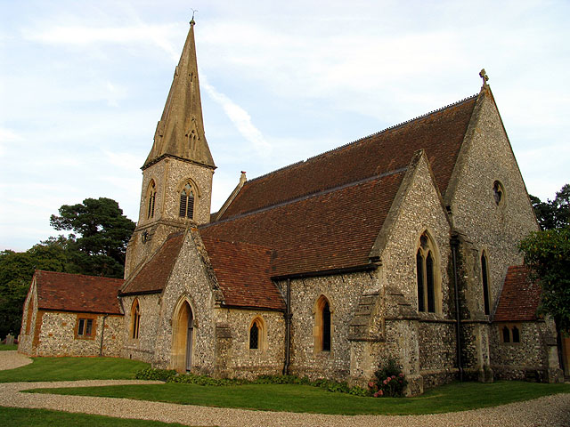
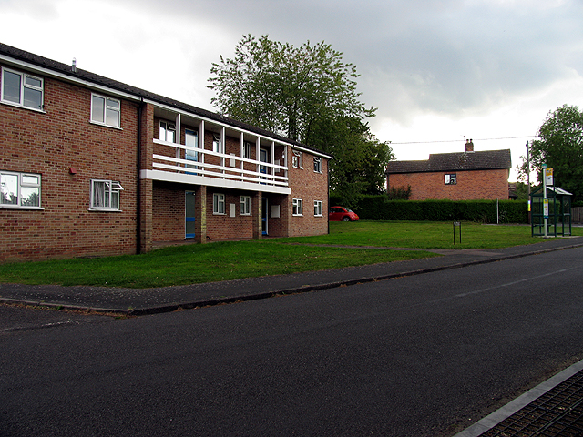
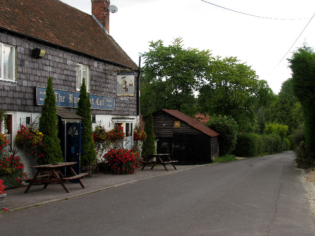
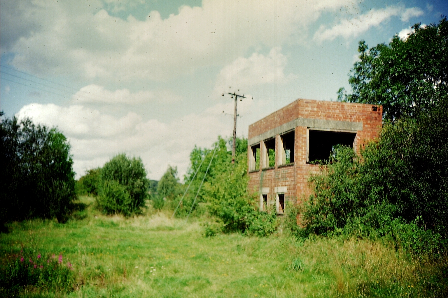
Images are sourced within 2km of 51.362/-1.367 or Grid Reference SU4462. Thanks to Geograph Open Source API. All images are credited.

Bridge on the A34 near Newbury The bridge crosses the minor road in the middle of the northern half of the grid square. The picture was taken from the south side looking north.
Bridge on the A34 near Newbury
The bridge crosses the minor road in the middle of the northern half of the grid square. The picture was taken from the south side looking north.
Wheatlands Farmland near Newbury This farmland to the east of the road is viewed from the north end looking south east.
Wheatlands Farmland near Newbury
This farmland to the east of the road is viewed from the north end looking south east.
Enborne C of E School The school is situated just north of the centre of the grid square at the intersection. The picture was taken somewhat south east side of the school, looking north west.
Enborne C of E School
The school is situated just north of the centre of the grid square at the intersection. The picture was taken somewhat south east side of the school, looking north west.
Turning for Boames lane off Skinners Green Lane Turning for Boames lane off Skinners Green Lane
Turning for Boames lane off Skinners Green Lane
A34 Newbury bypass over Wash Water road A34 Newbury bypass over Wash Water road
A34 Newbury bypass over Wash Water road
Tot Hill Services Looking NW
Tot Hill Services
Looking NW
Orchard at Ball Hill This square although mostly farmland also contains the village of Ball Hill. This orchard lies immediately south of the minor road in the southern half of the square.
Orchard at Ball Hill
This square although mostly farmland also contains the village of Ball Hill. This orchard lies immediately south of the minor road in the southern half of the square.
Main Road through Ball Hill This is the main road through Ball Hill, taken from the south side looking towards the Furze Inn, marked as PH on the 1:50 000 map. It is an integral part of the village of Ball Hill.
Main Road through Ball Hill
This is the main road through Ball Hill, taken from the south side looking towards the Furze Inn, marked as PH on the 1:50 000 map. It is an integral part of the village of Ball Hill.
Pasture near Wash Water This pasture is on the north side of the minor road in the southern half of the square. Most of the square is farmland.
Pasture near Wash Water
This pasture is on the north side of the minor road in the southern half of the square. Most of the square is farmland.
Wash Water Road near Enborne This is a view of the end of Wash Water road and the public house marked ph on the 1:50 000 map. The pub is on the north side of the road. The road joins the A343 to the right (east) of the pub and leads off the A343 to Enborne. This square contains some of the residential area of Wash Common and the key roads linking Enborne and Wash Water.
Wash Water Road near Enborne
This is a view of the end of Wash Water road and the public house marked ph on the 1:50 000 map. The pub is on the north side of the road. The road joins the A343 to the right (east) of the pub and leads off the A343 to Enborne. This square contains some of the residential area of Wash Common and the key roads linking Enborne and Wash Water.
Clere Wood near Highclere This square is a mixture of plantation and residential area. This section of plantation is the northern edge of Clere Wood in the southern half of the square.
Clere Wood near Highclere
This square is a mixture of plantation and residential area. This section of plantation is the northern edge of Clere Wood in the southern half of the square.
Clere Wood near Highclere This photograph was taken from the road looking more or less southeast.
Clere Wood near Highclere
This photograph was taken from the road looking more or less southeast.
Stream in Clere Wood This red stream with crystal clear water, is so coloured by what is probably a mat of bacteria and rust on the bed.
Stream in Clere Wood
This red stream with crystal clear water, is so coloured by what is probably a mat of bacteria and rust on the bed.
Woolton Hill County Junior School This school is near the intersection of the two minor roads, more or less in the centre of the square. The square both residential and agricultural. It contains the village of Woolton Hill.
Woolton Hill County Junior School
This school is near the intersection of the two minor roads, more or less in the centre of the square. The square both residential and agricultural. It contains the village of Woolton Hill.
A34(T) Bridge near Newtown This square is largely farmland and plantations belonging to the English Forestry commission. This bridge carries the A34(T) over one of the lanes passing through the forested area.
A34(T) Bridge near Newtown
This square is largely farmland and plantations belonging to the English Forestry commission. This bridge carries the A34(T) over one of the lanes passing through the forested area.
Woolton Hill Church This square is mostly farmland, with some residential areas linked to Woolton Hill village in the north eastern section of the square.
Woolton Hill Church
This square is mostly farmland, with some residential areas linked to Woolton Hill village in the north eastern section of the square.
Residential Area not far from Enborne This square is mostly residential area.
Residential Area not far from Enborne
This square is mostly residential area.
Country Road near Enborne This square is mostly residential and this road links Woolton Hill with Enborne via residential area.
Country Road near Enborne
This square is mostly residential and this road links Woolton Hill with Enborne via residential area.
Show me another place!

The Chase, Woolton Hill is located at Grid Ref: SU4462 (Lat: 51.362, Lng: -1.367)

Administrative County: Hampshire

District: Basingstoke and Deane

Police Authority: Hampshire

What 3 Words

///spectacle.landed.vibes. Near Highclere, Hampshire

Related Wikis

Woodhay railway station

Woodhay railway station was a station on the Didcot, Newbury and Southampton Railway in England. It was located about five miles south of the junction...

Enborne Row

Enborne Row is a hamlet in Berkshire, England, located on the county's border with Hampshire. The hamlet is within the civil parish of Enborne. The settlement...

Bourne House, East Woodhay

Bourne House, East Woodhay, lies at the northwestern tip of the parish of Widehaye in the Evingar hundred, in Hampshire, England. == History == With an...

Wash Water

Wash Water is a hamlet on the border of Berkshire, and Hampshire. It is divided between the civil parishes of Enborne (where according to Grid Refs the...

Nearby Amenities

Located within 500m of 51.362,-1.367
Bus Stop
Slade Hill
Naptan AtcoCode: 1900HA010083
Naptan Bearing: NE
Naptan CommonName: Slade Hill
Naptan NaptanCode: hamawpga
Naptan Street: Station Road
Naptan Verified: no
Source: naptan_import
Lat/Long: 51.3624455/-1.3728949
Barrier: kissing_gate
Lat/Long: 51.3597095/-1.3724921
Bicycle: no
Foot: permissive
Horse: no
Motor Vehicle: no
Lat/Long: 51.3632461/-1.3603105
Ford: yes
Lat/Long: 51.3611778/-1.370651
Ford: yes
Lat/Long: 51.3607856/-1.3717205
Bench
Backrest: yes
Material: wood
Lat/Long: 51.3619298/-1.3668493
Bench
Backrest: no
Lat/Long: 51.3627619/-1.3602657
Bicycle Parking
Bicycle Parking: stands
Capacity: 10
Covered: no
Lat/Long: 51.3648096/-1.3671503
Waste Basket
Lat/Long: 51.3645945/-1.3670865
Barrier: kissing_gate
Lat/Long: 51.3640468/-1.367197
Historic: memorial
Inscription: This woodland known as the Chase Woodhay was given in 1944 by Sir Kenneth Swan to the National Trust as a nature reserve in memory of his friend Anthony K Collett naturalist and writer 1877—1929
Material: brick
Memorial: plaque
Lat/Long: 51.3617194/-1.3669288
Barrier: kissing_gate
Lat/Long: 51.360386/-1.3616209
The data included in this document is from www.openstreetmap.org. The data is made available under ODbL.

Have you been to The Chase, Woolton Hill?

Leave your review of The Chase, Woolton Hill below (or comments, questions and feedback).