The Commandery

Heritage Site in Worcestershire

England

The Commandery

River Severn at Worcester Narrowboats moored up at the National Waterways Festival in Worcester in 1999.
River Severn at Worcester Credit: David Stowell

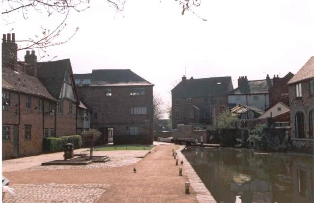
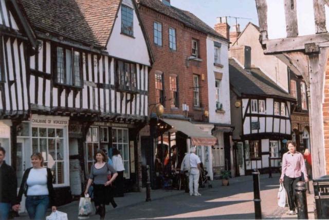
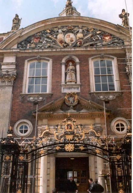
The Commandery, located in Worcestershire, England, is a historic heritage site that offers visitors a fascinating glimpse into the region's rich history. Originally built in the 12th century, The Commandery has served various purposes over the years, including a hospital, a royalist headquarters during the English Civil War, and a Victorian school. Today, it stands as an important cultural and educational landmark.

The building's architecture is a testament to its long and varied history. The medieval timber-framed structure is accompanied by later additions, such as a grand Georgian facade, which was added in the 18th century. The Commandery's interior is equally captivating, with its period rooms showcasing different historical eras and offering an immersive experience for visitors.

One of the most significant events associated with The Commandery is its role during the English Civil War. It served as the Royalist headquarters during the Battle of Worcester in 1651, where King Charles II made his last stand against Oliver Cromwell's forces. Today, visitors can explore the Battle Room, which houses a collection of artifacts and exhibits related to this pivotal moment in British history.

Additionally, The Commandery offers a range of interactive displays, audio-visual presentations, and guided tours that bring the past to life. The site hosts regular events, reenactments, and educational programs for all ages, allowing visitors to delve deeper into Worcestershire's heritage.

In conclusion, The Commandery in Worcestershire stands as a captivating heritage site, offering an immersive experience into the region's history. With its diverse architecture, significant historical associations, and engaging exhibits, it is a must-visit destination for history enthusiasts and cultural explorers alike.

If you have any feedback on the listing, please let us know in the comments section below.

The Commandery Images

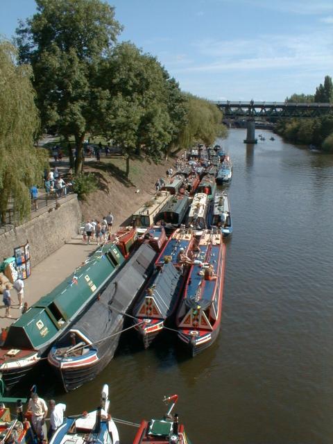
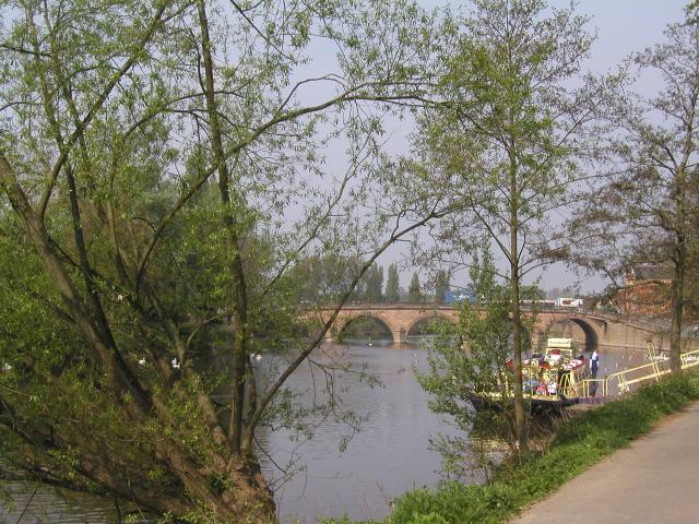
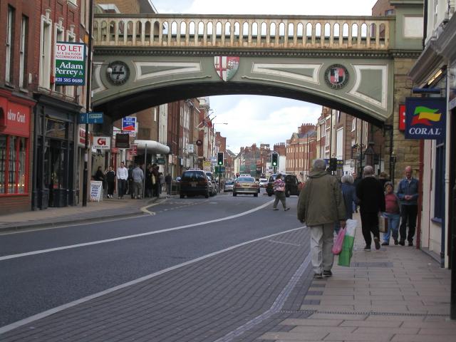
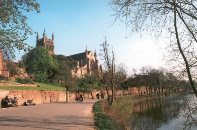
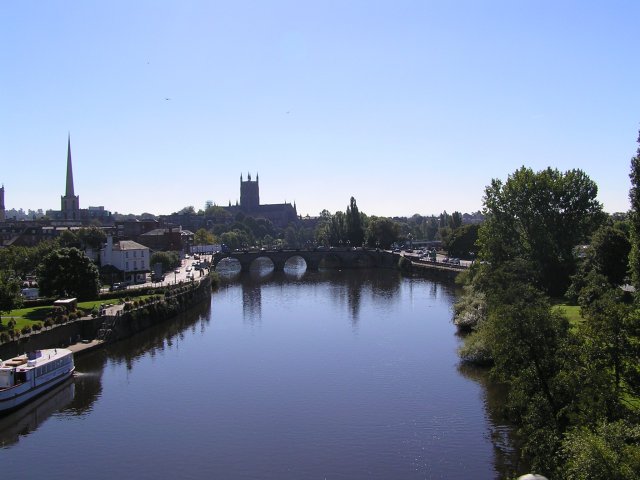
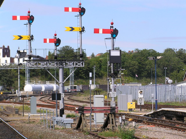
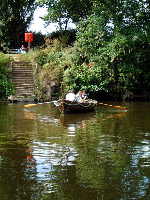
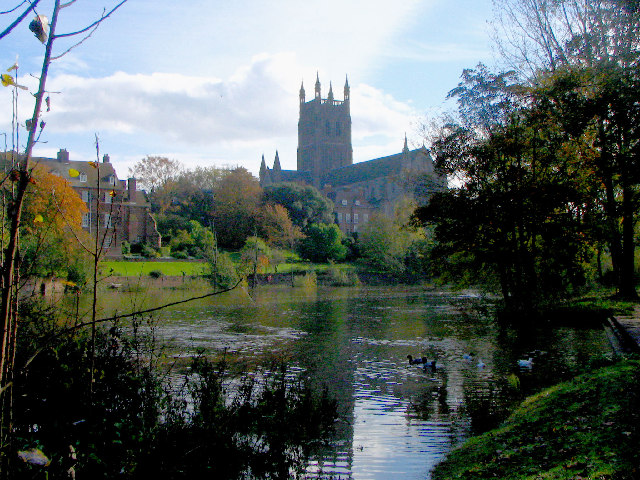
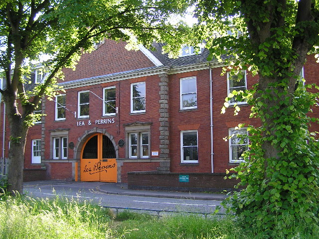
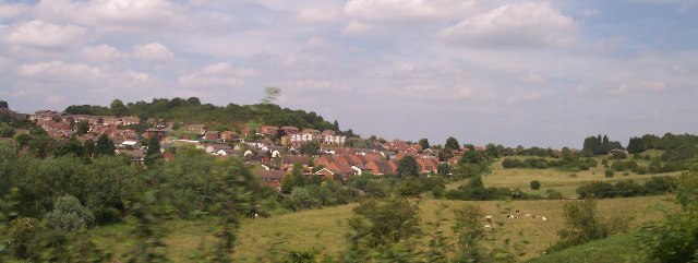
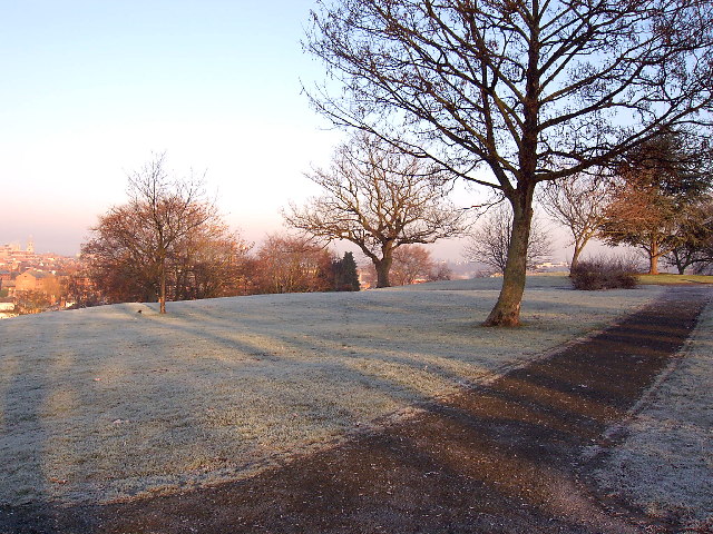
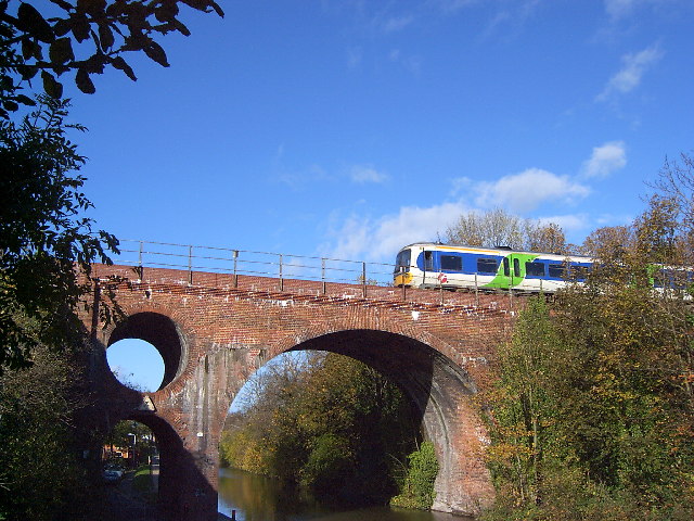
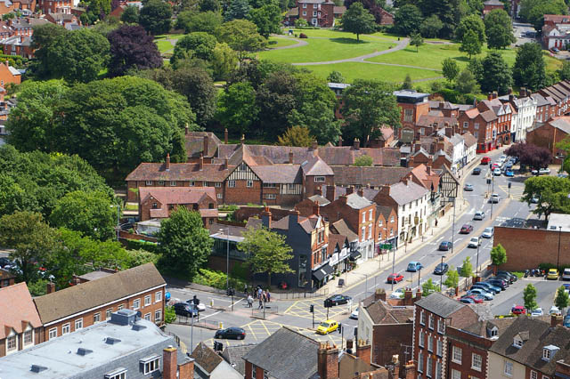
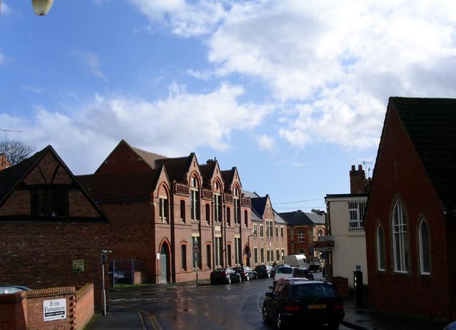
Images are sourced within 2km of 52.188/-2.212 or Grid Reference SO8554. Thanks to Geograph Open Source API. All images are credited.

River Severn at Worcester Narrowboats moored up at the National Waterways Festival in Worcester in 1999.
River Severn at Worcester
Narrowboats moored up at the National Waterways Festival in Worcester in 1999.
River Severn at Worcester Photo taken while standing next to the cathedral.
River Severn at Worcester
Photo taken while standing next to the cathedral.
Foregate Street railway bridge Looking towards The Tything
Foregate Street railway bridge
Looking towards The Tything
Worcester Cathedral From the river walkway
Worcester Cathedral
From the river walkway
The Commandery, Worcester The Commandery was a Civil War Museum in Worcester, but since 2007 has been open as an historic property, situated along Worcester and Birmingham Canal
The Commandery, Worcester
The Commandery was a Civil War Museum in Worcester, but since 2007 has been open as an historic property, situated along Worcester and Birmingham Canal
Friar Street, Worcester Medieval street front.
Friar Street, Worcester
Medieval street front.
Worcester Guildhall Tourist office in this building as well as a cafe.
Worcester Guildhall
Tourist office in this building as well as a cafe.
Worcester Entering the locks that lead down from Diglis basin to the River Severn
Worcester
Entering the locks that lead down from Diglis basin to the River Severn
Worcester Cathedral and river Severn Taken from on railway viaduct (legally I might add!)
Worcester Cathedral and river Severn
Taken from on railway viaduct (legally I might add!)
Worcester Shrub Hill Station. Array of semaphore signals at the Birmingham end of Shrub Hill station, Worcester Light maintenance depot in the background.
Worcester Shrub Hill Station.
Array of semaphore signals at the Birmingham end of Shrub Hill station, Worcester Light maintenance depot in the background.
Looking NNW from bridge over Perry Wood road towards Shrub Hill Station.
Worcestershire County Council offices Built at great expense when Herefordshire and Worcestershire were amalgamated in the 1970s. they have now separated.
Worcestershire County Council offices
Built at great expense when Herefordshire and Worcestershire were amalgamated in the 1970s. they have now separated.
Cathedral Ferry, Worcester Still operated by volunteers during the summer months, it takes passengers across the River Severn behind the Cathedral.
Cathedral Ferry, Worcester
Still operated by volunteers during the summer months, it takes passengers across the River Severn behind the Cathedral.
Worcester Cathedral from the River Severn
Lea & Perrins factory,  Worcester The home of "Worcestershire Sauce"
Lea & Perrins factory, Worcester
The home of "Worcestershire Sauce"
Ronkswood An open green space in Worcester.
Ronkswood
An open green space in Worcester.
Winter in Fort Royal Park Fort Royal's moment of fame came in September 1651, when the Royal Standard of King Charles II was raised here, in an attempt to regain power from Oliver Cromwell. The Battle of Worcester was the last military action of the post Civil War period, with "crowning glory" for Cromwell and a long flight for Charles to Shropshire, then in a circuitous route to the South coast and escape to France. Fort Royal is now a public park and a favourite with photographers for its excellent view of Worcester Cathedral.
Winter in Fort Royal Park
Fort Royal's moment of fame came in September 1651, when the Royal Standard of King Charles II was raised here, in an attempt to regain power from Oliver Cromwell. The Battle of Worcester was the last military action of the post Civil War period, with "crowning glory" for Cromwell and a long flight for Charles to Shropshire, then in a circuitous route to the South coast and escape to France. Fort Royal is now a public park and a favourite with photographers for its excellent view of Worcester Cathedral.
Westbury Street Bridge, Worcester The bridge takes the Birmingham to Hereford railway over the Worcester and Birmingham Canal and Westbury Street, near the centre of Worcester. The bridge featured on a postage stamp for the 150 years of railways celebration. Various stories exist about the hole in the bridge, from dragon nests (fanciful) and civil war cannonballs (implausible) to engineering considerations (possible) and saving bricks (boring).
Westbury Street Bridge, Worcester
The bridge takes the Birmingham to Hereford railway over the Worcester and Birmingham Canal and Westbury Street, near the centre of Worcester. The bridge featured on a postage stamp for the 150 years of railways celebration. Various stories exist about the hole in the bridge, from dragon nests (fanciful) and civil war cannonballs (implausible) to engineering considerations (possible) and saving bricks (boring).
Show me another place!

The Commandery is located at Grid Ref: SO8554 (Lat: 52.188, Lng: -2.212)

What 3 Words

///files.active.trader. Near Worcester, Worcestershire

Related Wikis

Lea & Perrins

Lea & Perrins (L&P) is a United Kingdom-based subsidiary of Kraft Heinz, originating in Worcester, England where it continues to operate. It is best known...

The Commandery

The Commandery is a historic building open to visitors and located in the city of Worcester, England. It opened as a museum in 1977 and was for a while...

Fownes Hotel

Fownes Hotel and Restaurant is a hotel in Worcester, England, along the canalside. It is situated in an old Victorian glove factory. It has 63 rooms. The...

Museum of Royal Worcester

The Museum of Royal Worcester (formerly Worcester Porcelain Museum and Dyson Perrins Museum) is a ceramics museum located in the Royal Worcester porcelain...

Nearby Amenities

Located within 500m of 52.188,-2.212
Maxheight: 2.05
Source: P173-0789
Lat/Long: 52.1869999/-2.2170875
Seamark Type: gate
Waterway: lock_gate
Lat/Long: 52.1876659/-2.2172609
Traffic Signals
Traffic Signals Direction: forward
Lat/Long: 52.1880606/-2.2183007
Post Box
Collection Times: Mo-Fr 09:00; Sa 07:00
Historic Operator: Post Office
Post Box Type: pillar
Postal Code: WR1
Ref: WR1 340
Royal Cypher: EIIR
Royal Cypher Wikidata: Q33102113
Lat/Long: 52.1879037/-2.2192623
Pub
The Kings Head
Addr City: Worcester
Addr Housenumber: 67
Addr Postcode: WR1 2HU
Addr Street: Sidbury
Fhrs Id: 674601
Source Addr: FHRS Open Data
Wikidata: Q26669580
Lat/Long: 52.1878609/-2.21753
Source: bing
Traffic Calming: table
Lat/Long: 52.1886028/-2.2143539
Mini Roundabout
Direction: clockwise
Lat/Long: 52.1891159/-2.2096705
Seamark Type: gate
Waterway: lock_gate
Lat/Long: 52.1899721/-2.2149226
Seamark Type: gate
Waterway: lock_gate
Lat/Long: 52.1898227/-2.2151698
Seamark Type: gate
Waterway: lock_gate
Lat/Long: 52.1878827/-2.2172245
Bus Stop
Camp Hill Road
Bench: no
Bin: yes
Bus: yes
Lit: yes
Naptan AtcoCode: 2000G000933
Naptan Bearing: E
Naptan CommonName: Camp Hill Road
Naptan Crossing: Camp Hill Road
Naptan Indicator: Opp
Naptan NaptanCode: wocdpwtw
Naptan PlusbusZoneRef: WORCSFS
Naptan Street: London Road
Naptan Verified: no
Public Transport: platform
Shelter: no
Source: naptan_import
Tactile Paving: no
Lat/Long: 52.1854952/-2.2087865
Bus Stop
Fort Royal
Bench: yes
Bin: yes
Bus: yes
Lit: yes
Naptan AtcoCode: 2000G000935
Naptan Bearing: NW
Naptan CommonName: Fort Royal
Naptan Indicator: opp
Naptan Landmark: Fort Royal
Naptan NaptanCode: wocdtada
Naptan PlusbusZoneRef: WORCSFS
Naptan Street: London Road
Naptan Verified: no
Public Transport: platform
Shelter: yes
Source: naptan_import
Tactile Paving: no
Lat/Long: 52.1857757/-2.2128249
Bus Stop
King's School
Bus: yes
Naptan AtcoCode: 2000G002701
Naptan Bearing: SE
Naptan CommonName: King's School
Naptan Indicator: opp
Naptan Landmark: King's School
Naptan NaptanCode: wocdagdg
Naptan PlusbusZoneRef: WORCSFS
Naptan Street: King Street
Naptan Verified: no
Public Transport: platform
Source: naptan_import
Lat/Long: 52.1874471/-2.2185874
Bus Stop
Hamilton Road
Bus: yes
Naptan AtcoCode: 2000G005600
Naptan Bearing: NE
Naptan CommonName: Hamilton Road
Naptan Crossing: Hamilton Road
Naptan Indicator: adj
Naptan NaptanCode: wocgdmdw
Naptan PlusbusZoneRef: WORCSFS
Naptan Street: Wylds Lane
Naptan Verified: no
Public Transport: platform
Source: naptan_import
Lat/Long: 52.1882569/-2.215104
Bus Stop
Camp Hill Road
Bench: no
Bin: no
Bus: yes
Lit: yes
Naptan AtcoCode: 2000G005700
Naptan Bearing: W
Naptan CommonName: Camp Hill Road
Naptan Crossing: Camp Hill Road
Naptan Indicator: Adj
Naptan NaptanCode: wocgdmga
Naptan PlusbusZoneRef: WORCSFS
Naptan Street: London Road
Naptan Verified: no
Public Transport: platform
Shelter: no
Source: naptan_import
Tactile Paving: no
Lat/Long: 52.1854073/-2.2095825
Bus Stop
Albert Road
Bus: yes
Naptan AtcoCode: 2000G005888
Naptan Bearing: NW
Naptan CommonName: Albert Road
Naptan Crossing: Albert Road
Naptan Indicator: adj
Naptan NaptanCode: wocgdmgw
Naptan PlusbusZoneRef: WORCSFS
Naptan Street: Wyld's Lane
Naptan Verified: no
Public Transport: platform
Source: naptan_import
Lat/Long: 52.1884979/-2.2075795
Albert Road
Naptan AtcoCode: 2000G005889
Naptan Bearing: SE
Naptan BusStopType: CUS
Naptan CommonName: Albert Road
Naptan Crossing: Albert Road
Naptan Indicator: opp
Naptan NaptanCode: wocgdmja
Naptan PlusbusZoneRef: WORCSFS
Naptan Street: Wylds Lane
Naptan Verified: no
Source: naptan_import
Lat/Long: 52.188617/-2.2076748
Bus Stop
Lea & Perrins Factory
Bus: yes
Naptan AtcoCode: 2000G005896
Naptan Bearing: SW
Naptan CommonName: Lea & Perrins Factory
Naptan Indicator: adj
Naptan Landmark: Lea & Perrins Factory
Naptan NaptanCode: wocgdmjd
Naptan PlusbusZoneRef: WORCSFS
Naptan Street: Midland Road
Naptan Verified: no
Public Transport: platform
Source: naptan_import
Lat/Long: 52.1901609/-2.2090863
Athelstan Road
Naptan AtcoCode: 2000G005898
Naptan Bearing: N
Naptan BusStopType: CUS
Naptan CommonName: Athelstan Road
Naptan Crossing: Athelstan Road
Naptan Indicator: opp
Naptan NaptanCode: wocgdmjg
Naptan PlusbusZoneRef: WORCSFS
Naptan Street: Camp Hill Road
Naptan Verified: no
Source: naptan_import
Lat/Long: 52.1843157/-2.2092881
Bus Stop
Sidbury
Bench: no
Bin: yes
Bus: yes
Naptan AtcoCode: 2000G006629
Naptan Bearing: NW
Naptan BusStopType: CUS
Naptan CommonName: Sidbury
Naptan Indicator: Westbound
Naptan NaptanCode: wocgdmat
Naptan PlusbusZoneRef: WORCSFS
Naptan Street: Sidbury
Naptan Verified: no
Public Transport: platform
Shelter: no
Source: naptan_import
Tactile Paving: no
Lat/Long: 52.1868574/-2.2162091
Bus Stop
Sidbury
Bench: no
Bin: no
Bus: yes
Lit: yes
Naptan AtcoCode: 2000G006630
Naptan Bearing: SE
Naptan CommonName: Sidbury
Naptan Indicator: Eastbound
Naptan NaptanCode: wocgdmaw
Naptan PlusbusZoneRef: WORCSFS
Naptan Street: Sidbury
Naptan Verified: no
Public Transport: platform
Shelter: no
Source: naptan_import
Tactile Paving: no
Lat/Long: 52.186831/-2.2158871
Bus Stop
City Walls Road
Bench: no
Bin: no
Bus: yes
Lit: yes
Mapillary: 347858066747420
Naptan AtcoCode: 2000G006699
Naptan Bearing: N
Naptan CommonName: City Walls Road
Naptan Indicator: adj
Naptan NaptanCode: wocgatmj
Naptan PlusbusZoneRef: WORCSFS
Naptan Street: City Walls Road
Public Transport: platform
Shelter: no
Source: naptan_import;survey
Survey Date: 2020-07-04
Tactile Paving: no
Lat/Long: 52.1905308/-2.2179009
Bus Stop
Fort Royal Hill
Bus: yes
Naptan AtcoCode: 2000G016400
Naptan Bearing: SW
Naptan CommonName: Fort Royal Hill
Naptan Crossing: Albert Close
Naptan Indicator: opp
Naptan NaptanCode: wocdwptd
Naptan PlusbusZoneRef: WORCSFS
Naptan Street: Fort Royal Hill
Naptan Verified: no
Public Transport: platform
Source: naptan_import
Lat/Long: 52.1869144/-2.2128883
Bus Stop
Athelstan Road
Bus: yes
Naptan AtcoCode: 2000G095898
Naptan Bearing: NW
Naptan CommonName: Athelstan Road
Naptan Crossing: Athelstan Road
Naptan Indicator: adj
Naptan NaptanCode: wocgmwtj
Naptan PlusbusZoneRef: WORCSFS
Naptan Street: Camp Hill Road
Naptan Verified: no
Public Transport: platform
Source: naptan_import
Lat/Long: 52.1844332/-2.2094105
Bus Stop
Sidbury
Bench: no
Bin: no
Bus: yes
Image: https://storage13.openstreetcam.org/files/photo/2021/2/9/lth/3409717_514059a4fee82a865343e5627f9f7c93.jpg
Naptan AtcoCode: 2000G158000
Naptan Bearing: N
Naptan CommonName: Sidbury
Naptan Indicator: opp
Naptan NaptanCode: wocdwjpt
Naptan PlusbusZoneRef: WORCSFS
Naptan Street: Commandery Road
Naptan Verified: no
Public Transport: platform
Shelter: no
Source: naptan_import
Survey Date: 2021-02-09
Lat/Long: 52.1869993/-2.2173068
Bus Stop
Fort Royal
Bench: no
Bus: yes
Naptan AtcoCode: 2000G580503
Naptan Bearing: E
Naptan CommonName: Fort Royal
Naptan Crossing: Fort Royal
Naptan Indicator: adj
Naptan NaptanCode: wocdpagj
Naptan PlusbusZoneRef: WORCSFS
Naptan Street: London Road
Naptan Verified: no
Public Transport: platform
Shelter: no
Source: naptan_import
Lat/Long: 52.1855733/-2.2114117
Source: bing
Traffic Calming: table
Lat/Long: 52.1893107/-2.211321
Post Box
Collection Times: Mo-Fr 09:00; Sa 07:00
Ref: WR5 189
Royal Cypher: EIIR
Royal Cypher Wikidata: Q33102113
Lat/Long: 52.1851516/-2.2149329
Traffic Calming: hump
Lat/Long: 52.188043/-2.2153567
Post Box
Ref: WR5 4
Lat/Long: 52.1855068/-2.2115216
Post Box
Ref: WR5 512
Lat/Long: 52.186724/-2.2130889
Crossing
Check Date Crossing: 2022-06-02
Crossing: traffic_signals
Lat/Long: 52.1881277/-2.2182342
Fast Food
Caspian Pizza
Addr City: Worcester
Addr Housenumber: 82-84
Addr Postcode: WR1 2HY
Addr Street: Sidbury
Fhrs Id: 674602
Source Addr: FHRS Open Data
Lat/Long: 52.1870744/-2.2164188
Restaurant
Sidbury Spice
Lat/Long: 52.1870437/-2.2163976
Fast Food
Sizzlers Takeaway
Lat/Long: 52.1873233/-2.2165104
Fast Food
China City
Addr City: Worcester
Addr Housenumber: 111-113
Addr Postcode: WR5 2DH
Addr Street: Sidbury
Fhrs Id: 674603
Source Addr: FHRS Open Data
Lat/Long: 52.1871817/-2.2163467
Restaurant
Thai On 7evern
Addr City: Worcester
Addr Housenumber: 109
Addr Postcode: WR1 2HU
Addr Street: Sidbury
Fhrs Id: 840288
Lat/Long: 52.1872546/-2.216385
Fast Food
Monties Indian Takeaway
Addr City: Worcester
Addr Housenumber: 67
Addr Postcode: WR5 1DF
Addr Street: Wyld's Lane
Fhrs Id: 707342
Lat/Long: 52.1888989/-2.2137844
Fast Food
Pink Garlic
Lat/Long: 52.1889971/-2.2133205
Railway: buffer_stop
Lat/Long: 52.189294/-2.2057422
Railway: switch
Lat/Long: 52.1898301/-2.2062228
Railway: buffer_stop
Lat/Long: 52.1886551/-2.2054471
Railway: buffer_stop
Lat/Long: 52.1904666/-2.2069075
Railway: switch
Lat/Long: 52.1914239/-2.2072869
Railway: switch
Lat/Long: 52.1910103/-2.2070024
Railway: switch
Lat/Long: 52.1908523/-2.2068338
Railway: switch
Lat/Long: 52.1912159/-2.2070899
Railway: switch
Lat/Long: 52.1904251/-2.206603
Railway: switch
Lat/Long: 52.1912045/-2.2070291
Fire Hydrant
Emergency: fire_hydrant
Fire Hydrant Diameter: fixme
Fire Hydrant Position: lane
Fire Hydrant Type: underground
Lat/Long: 52.1858019/-2.2128632
Fire Hydrant
Emergency: fire_hydrant
Fire Hydrant Diameter: fixme
Fire Hydrant Position: lane
Fire Hydrant Type: underground
Lat/Long: 52.1855172/-2.2111218
Fire Hydrant
Emergency: fire_hydrant
Fixme: Recheck "click in passing" on siter
Lat/Long: 52.1853851/-2.2082274
Fire Hydrant
Emergency: fire_hydrant
Fire Hydrant Diameter: fixme
Fire Hydrant Position: lane
Fire Hydrant Type: underground
Lat/Long: 52.1854446/-2.2104599
Fire Hydrant
Emergency: fire_hydrant
Fixme: Recheck "click in passing" on siter
Lat/Long: 52.1853217/-2.2072623
Fire Hydrant
Emergency: fire_hydrant
Fire Hydrant Diameter: 205
Fire Hydrant Position: sidewalk
Fire Hydrant Type: underground
Lat/Long: 52.187694/-2.2178091
Fire Hydrant
Emergency: fire_hydrant
Fire Hydrant Diameter: fixme
Fire Hydrant Position: lane
Fire Hydrant Type: underground
Lat/Long: 52.1854091/-2.2095075
Crossing
Check Date Crossing: 2022-06-02
Crossing: traffic_signals
Lat/Long: 52.1880844/-2.2183288
Crossing
Check Date Crossing: 2022-06-02
Crossing: traffic_signals
Tactile Paving: yes
Lat/Long: 52.1881583/-2.2180906
Historic: wayside_cross
Lat/Long: 52.185498/-2.2069609
Crossing
Check Date Crossing: 2022-06-02
Crossing: unmarked
Crossing Markings: no
Tactile Paving: yes
Lat/Long: 52.1882066/-2.2186321
Bench
Backrest: yes
Check Date: 2022-07-30
Colour: black
Material: metal
Seats: 3
Lat/Long: 52.1872634/-2.2171583
Crossing
Crossing: unmarked
Crossing Island: yes
Kerb: lowered
Tactile Paving: yes
Lat/Long: 52.1856673/-2.2121166
Crossing
Crossing: unmarked
Crossing Markings: no
Tactile Paving: incorrect
Lat/Long: 52.1875862/-2.2176765
Crossing
Crossing: traffic_signals
Tactile Paving: yes
Lat/Long: 52.1883205/-2.2181651
Crossing
Crossing: traffic_signals
Tactile Paving: yes
Lat/Long: 52.1873245/-2.2167251
Crossing
Button Operated: yes
Check Date Crossing: 2022-05-22
Crossing: traffic_signals
Tactile Paving: yes
Traffic Signals Sound: no
Lat/Long: 52.1883349/-2.2184868
Barrier: bollard
Foot: yes
Lat/Long: 52.1852414/-2.2074597
Crossing
Button Operated: yes
Check Date Crossing: 2022-05-22
Crossing: traffic_signals
Tactile Paving: yes
Traffic Signals Sound: no
Lat/Long: 52.1882931/-2.2185869
Bench
Backrest: yes
Check Date: 2022-06-02
Colour: black
Material: metal
Seats: 3
Lat/Long: 52.1874858/-2.2175331
Bench
Backrest: yes
Check Date: 2022-07-30
Colour: black
Material: metal
Seats: 3
Lat/Long: 52.1873008/-2.217171
St. Pauls News
Addr City: Worcester
Addr Housenumber: 1
Addr Postcode: WR1 2BH
Addr Street: St Paul's Street
Fhrs Id: 685518
Shop: newsagent
Source Addr: FHRS Open Data
Lat/Long: 52.1918372/-2.2149866
Bench
Lat/Long: 52.1864774/-2.2141955
Bench
Lat/Long: 52.1867568/-2.2145364
Bench
Lat/Long: 52.1868574/-2.214606
Bench
Lat/Long: 52.1868793/-2.2152037
Bench
Lat/Long: 52.1869934/-2.2147136
Bench
Lat/Long: 52.1870752/-2.2148189
Barrier: bollard
Bicycle: yes
Foot: yes
Lat/Long: 52.1871997/-2.2139372
Recycling
Recycling Glass Bottles: yes
Lat/Long: 52.187228/-2.2142463
Bench
Lat/Long: 52.1872373/-2.2143197
Crossing
Crossing: traffic_signals
Tactile Paving: yes
Lat/Long: 52.187314/-2.2170807
Bench
Lat/Long: 52.1873028/-2.2142635
Bench
Lat/Long: 52.1873644/-2.2135147
Bench
Backrest: no
Lat/Long: 52.1875257/-2.2155915
Bench
Backrest: no
Lat/Long: 52.1876956/-2.2153916
Bench
Lat/Long: 52.1877751/-2.2144993
Stop
Direction: forward
Lat/Long: 52.1885485/-2.2143063
Traffic Calming: table
Lat/Long: 52.1888475/-2.2137374
Source: bing
Traffic Calming: hump
Lat/Long: 52.1892316/-2.2104597
Red Hill
Place: suburb
Lat/Long: 52.1859134/-2.2102923
Noexit: yes
Lat/Long: 52.1880999/-2.2058054
Noexit: yes
Lat/Long: 52.1886096/-2.2061472
Noexit: yes
Lat/Long: 52.1898353/-2.2083812
Noexit: yes
Lat/Long: 52.1908403/-2.2079139
Noexit: yes
Lat/Long: 52.1903885/-2.2076074
Restaurant
Nando's
Addr City: Worcester
Addr Housenumber: 55-59
Addr Postcode: WR1 2NA
Addr Street: Friar Street
Brand: Nando's
Brand Wikidata: Q3472954
Brand Wikipedia: en:Nando's
Cuisine: chicken;portuguese
Fhrs Id: 674698
Opening Hours: Mo-Th 12:00-22:30; Fr 12:00-23:00; Sa 11:30-23:00; Su 11:30-22:30
Smoking: no
Source Addr: FHRS Open Data
Website: https://www.nandos.co.uk/restaurants/worcester
Lat/Long: 52.1887983/-2.2186223
Crossing
Check Date Crossing: 2022-06-02
Crossing: traffic_signals
Tactile Paving: yes
Lat/Long: 52.1882239/-2.218182
Speed Camera
Maxspeed: 30 mph
Lat/Long: 52.1898014/-2.2178612
Speed Camera
Maxspeed: 30 mph
Lat/Long: 52.190718/-2.2176236
The Salon
Contact Phone: +44 1905 355552
Shop: hairdresser
Source: P173-0792
Lat/Long: 52.1853141/-2.2178866
Fuel
Brand: Texaco
Compressed Air: yes
Fuel Diesel: yes
Fuel Lpg: no
Fuel Octane 98: yes
Shop: convenience
Source: P173-0791
Lat/Long: 52.1861535/-2.2175414
Fire Hydrant
Emergency: fire_hydrant
Fire Hydrant Diameter: fixme
Fire Hydrant Position: fixme
Fire Hydrant Type: underground
Lat/Long: 52.1862311/-2.2171617
Note: low "arch" about 1.65
Source: P173-0782
Lat/Long: 52.1897834/-2.2151068
Rescue Equipment
Emergency: rescue_equipment
Rescue Equipment: lifering
Source: P173-0778
Lat/Long: 52.190084/-2.2145676
Crossing
Crossing: unmarked
Crossing Markings: no
Source: P173-0716
Tactile Paving: yes
Lat/Long: 52.1881725/-2.2064963
Priority: forward
Source: P173-0720
Traffic Calming: choker
Lat/Long: 52.1892201/-2.2125511
Telephone
Booth: KX100
Covered: booth
Source: P173-0720
Lat/Long: 52.1892462/-2.212768
Spar
Addr City: Worcester
Addr Housenumber: 20
Addr Postcode: WR5 3EL
Addr Street: Bath Road
Brand: Spar
Brand Wikidata: Q610492
Fhrs Id: 685328
Operator: Spar
Shop: convenience
Lat/Long: 52.1861375/-2.2177753
Source: survey
Tourism: artwork
Lat/Long: 52.1876237/-2.2173
Creations
Shop: hairdresser
Source: survey
Lat/Long: 52.1875759/-2.2169744
Plaque:Frog Gate
Historic: memorial
Memorial: plaque
Lat/Long: 52.1873435/-2.219139
Pub
The Cardinal's Hat
Addr City: Worcester
Addr Housenumber: 31
Addr Postcode: WR1 2NF
Addr Street: Friar Street
Fhrs Id: 837421
Opening Hours: Mo 16:00-23:00; Tu-Th 12:00-23:00; Fr,Sa 12:00-23:30; PH,Su 12:00-22:00
Wikidata: Q26669272
Lat/Long: 52.1895722/-2.2186243
Waste Basket
Waste: dog_excrement
Lat/Long: 52.1878647/-2.2140619
Waste Basket
Waste: dog_excrement
Lat/Long: 52.1871681/-2.2138667
Waste Basket
Waste: dog_excrement
Lat/Long: 52.1881383/-2.2151802
Waste Basket
Waste: dog_excrement
Lat/Long: 52.1863343/-2.2140311
Waste Basket
Check Date: 2022-03-12
Ref: Dog waste bin
Waste: dog_excrement
Lat/Long: 52.1882482/-2.2169712
Waste Basket
Waste: dog_excrement
Lat/Long: 52.192053/-2.2133571
Place Of Worship
Kingdom Hall of Jehovah's Witnesses
Addr Street: Park Street
Opening Hours: Tu,Th 19:15-21:00, Su 10:00-15:45
Religion: christian
Website: https://www.jw.org/
Lat/Long: 52.1895662/-2.2153369
Railway: switch
Lat/Long: 52.1901178/-2.2064706
Railway: switch
Lat/Long: 52.1896825/-2.2062356
Bicycle Parking
Bicycle Parking: stands
Capacity: 6
Covered: no
Lat/Long: 52.1882276/-2.2168911
Bicycle Parking
Bicycle Parking: stands
Covered: no
Lat/Long: 52.1880977/-2.2150195
Cafe
G & Tea
Addr Housenumber: 45
Addr Postcode: WR1 2NA
Addr Street: Friar Street
Cuisine: tea;cake;sandwich;breakfast;coffee_shop;local
Email: hello@gandteabakery.co.uk
Opening Hours: Tu-Sa 10:00-16:30
Operator: Laura
Phone: +44 1905863323
Smoking: no
Website: https://www.gandteabakery.co.uk/
Lat/Long: 52.1890364/-2.2187161
Dentist
Gentle dental of Worcester
Healthcare: dentist
Lat/Long: 52.1862866/-2.2152206
Bar
Paradiddles Café Music Bar
Addr City: Worcester
Addr Housenumber: 61
Addr Postcode: WR1 2HU
Addr Street: Sidbury
Opening Hours: Tu-Th 10:00-22:00, Fr-Sa 10:00-23:30, Su 10:00-16:00
Lat/Long: 52.1879343/-2.2177026
Wyld's Lane Junction
Railway: junction
Lat/Long: 52.1905117/-2.2067115
Generator Method: photovoltaic
Generator Output Electricity: yes
Generator Source: solar
Generator Type: solar_photovoltaic_panel
Location: roof
Power: generator
Lat/Long: 52.1859996/-2.2171663
Give Way
Direction: backward
Source: bing
Lat/Long: 52.1892312/-2.2124369
Generator Method: photovoltaic
Generator Output Electricity: yes
Generator Source: solar
Generator Type: solar_photovoltaic_panel
Location: roof
Power: generator
Lat/Long: 52.1889118/-2.2131698
Generator Method: photovoltaic
Generator Output Electricity: yes
Generator Source: solar
Generator Type: solar_photovoltaic_panel
Location: roof
Power: generator
Lat/Long: 52.1885492/-2.2132355
Generator Method: photovoltaic
Generator Output Electricity: yes
Generator Source: solar
Generator Type: solar_photovoltaic_panel
Location: roof
Power: generator
Lat/Long: 52.1880041/-2.2114009
Generator Method: photovoltaic
Generator Output Electricity: yes
Generator Source: solar
Generator Type: solar_photovoltaic_panel
Location: roof
Power: generator
Lat/Long: 52.1840385/-2.2150151
Generator Method: photovoltaic
Generator Output Electricity: yes
Generator Source: solar
Generator Type: solar_photovoltaic_panel
Location: roof
Power: generator
Lat/Long: 52.1844982/-2.2125475
Generator Method: photovoltaic
Generator Output Electricity: yes
Generator Source: solar
Generator Type: solar_photovoltaic_panel
Location: roof
Power: generator
Lat/Long: 52.1894693/-2.2087187
Generator Method: photovoltaic
Generator Output Electricity: yes
Generator Source: solar
Generator Type: solar_photovoltaic_panel
Location: roof
Power: generator
Lat/Long: 52.1883634/-2.2074634
Generator Method: photovoltaic
Generator Output Electricity: yes
Generator Source: solar
Generator Type: solar_photovoltaic_panel
Location: roof
Power: generator
Lat/Long: 52.187057/-2.2085765
Generator Method: photovoltaic
Generator Output Electricity: yes
Generator Source: solar
Generator Type: solar_photovoltaic_panel
Location: roof
Power: generator
Lat/Long: 52.1871071/-2.2061907
Generator Method: photovoltaic
Generator Output Electricity: yes
Generator Source: solar
Generator Type: solar_photovoltaic_panel
Location: roof
Power: generator
Lat/Long: 52.1871268/-2.206125
Generator Method: photovoltaic
Generator Output Electricity: yes
Generator Source: solar
Generator Type: solar_photovoltaic_panel
Location: roof
Power: generator
Lat/Long: 52.1860974/-2.2064777
Generator Method: photovoltaic
Generator Output Electricity: yes
Generator Source: solar
Generator Type: solar_photovoltaic_panel
Location: roof
Power: generator
Lat/Long: 52.1844784/-2.2101349
Traffic Calming: hump
Lat/Long: 52.187402/-2.2160378
Barrier: bollard
Bollard: fixed
Lat/Long: 52.1862066/-2.2088975
Barrier: yes
Foot: yes
Lat/Long: 52.1891402/-2.2148845
Bicycle Parking
Bicycle Parking: stands
Capacity: 8
Covered: no
Lat/Long: 52.1868885/-2.2162854
Telephone
Booth: K6
Covered: booth
Listed Status: Grade II
Operator: BT
Operator Wikidata: Q593786
Phone: +44 1905 351312
Lat/Long: 52.1867294/-2.2163766
Crossing
Crossing: traffic_signals
Lat/Long: 52.189995/-2.2176648
Crossing
Crossing: traffic_signals
Lat/Long: 52.1899341/-2.2177671
Traffic Signals
Traffic Signals: signal
Traffic Signals Direction: forward
Lat/Long: 52.1874705/-2.2170214
Traffic Signals
Traffic Signals: signal
Traffic Signals Direction: forward
Lat/Long: 52.1874405/-2.2171031
Traffic Signals
Traffic Signals: signal
Traffic Signals Direction: forward
Lat/Long: 52.1872747/-2.217103
Traffic Signals
Traffic Signals: signal
Traffic Signals Direction: forward
Lat/Long: 52.1882416/-2.2181409
Traffic Signals
Traffic Signals: signal
Traffic Signals Direction: forward
Lat/Long: 52.1881777/-2.2180594
Traffic Signals
Traffic Signals: signal
Traffic Signals Direction: forward
Lat/Long: 52.1883593/-2.2185175
Tourism: artwork
Lat/Long: 52.1873871/-2.2172481
Crossing
Crossing: traffic_signals
Tactile Paving: yes
Lat/Long: 52.1872524/-2.2170129
Railway: switch
Lat/Long: 52.1906466/-2.2067542
Life Ring
Emergency: life_ring
Lat/Long: 52.1882575/-2.2169294
Holmes Architects Ltd
Addr City: Worcester
Addr Housename: 12
Addr Postcode: WR5 1AU
Addr Street: Spring Lane
Office: architect
Opening Hours: Mo-Fr 09:00-17:00
Phone: 07846007319
Website: https://www.holmesarchitects.co.uk
Lat/Long: 52.1921723/-2.2128308
Rose Bank
Power: transformer
Transformer: distribution
Voltage Primary: 11000
Lat/Long: 52.1860518/-2.2083753
Rose Hill
Power: transformer
Transformer: distribution
Voltage Primary: 11000
Lat/Long: 52.1867938/-2.2107833
Battenhall Road North
Power: transformer
Transformer: distribution
Voltage Primary: 11000
Lat/Long: 52.1848879/-2.2125026
King Street
Power: transformer
Transformer: distribution
Voltage Primary: 11000
Lat/Long: 52.1873529/-2.2184564
The data included in this document is from www.openstreetmap.org. The data is made available under ODbL.

Have you been to The Commandery?

Leave your review of The Commandery below (or comments, questions and feedback).