Swinsty Hall
Heritage Site in Yorkshire Harrogate
England
Swinsty Hall
Swinsty Hall, located in Yorkshire, England, is a historic heritage site renowned for its architectural significance and picturesque surroundings. Dating back to the 17th century, the hall stands as a magnificent example of Jacobean-style architecture, characterized by its symmetrical design, mullioned windows, and prominent chimneys.
Set amidst the stunning beauty of the Yorkshire Dales, Swinsty Hall provides visitors with a glimpse into the region's rich history and cultural heritage. Surrounded by lush green gardens and rolling hills, the site offers an idyllic escape from the hustle and bustle of modern life.
The hall itself comprises a main central block, flanked by two projecting wings. The interiors boast a wealth of original features, including ornate fireplaces, decorative plasterwork, and period furniture. The grandeur of the hall is further enhanced by its oak-paneled rooms and intricate ceiling designs.
Swinsty Hall has witnessed various transformations over the years, serving as a family residence, an agricultural college, and even a seminary. Today, it stands as a cherished heritage site, attracting history enthusiasts and architecture lovers alike.
Visitors to Swinsty Hall can explore its stunning grounds, which include a walled garden, a tranquil lake, and a charming courtyard. The site also offers guided tours, allowing visitors to delve deeper into its fascinating history and discover the stories behind its walls.
Swinsty Hall's timeless beauty and rich historical significance make it a must-visit destination for anyone seeking an authentic experience of Yorkshire's architectural and cultural heritage.
If you have any feedback on the listing, please let us know in the comments section below.
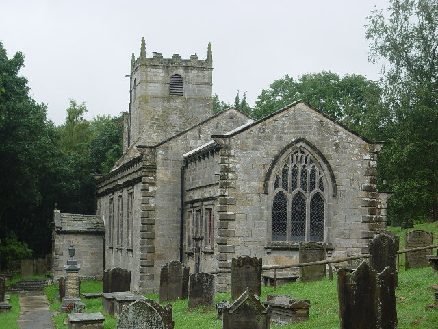
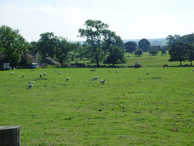
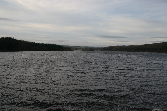
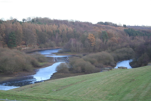
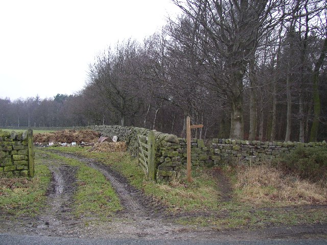
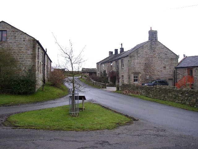
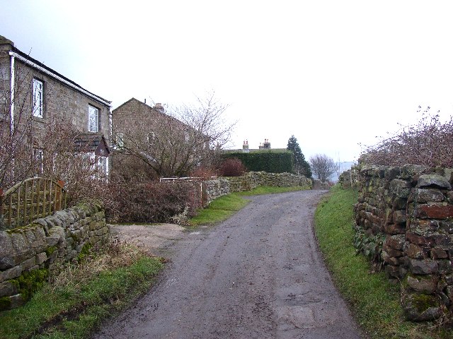
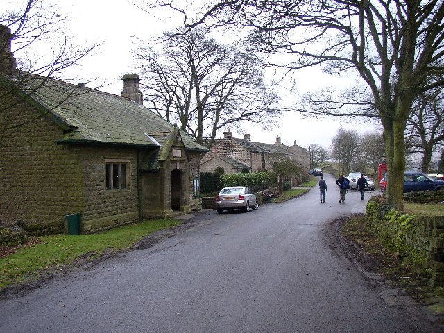
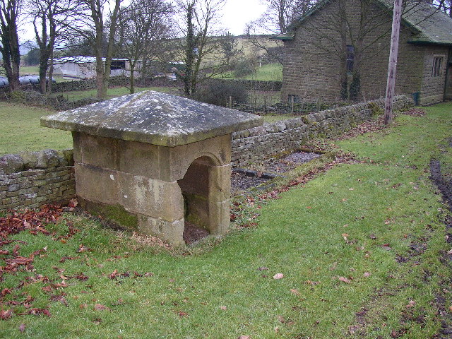
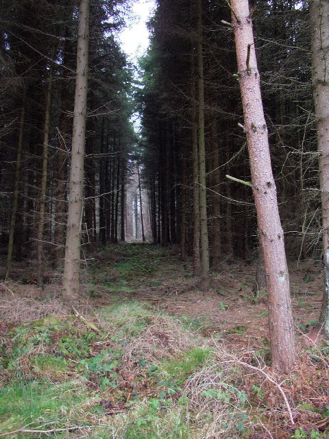
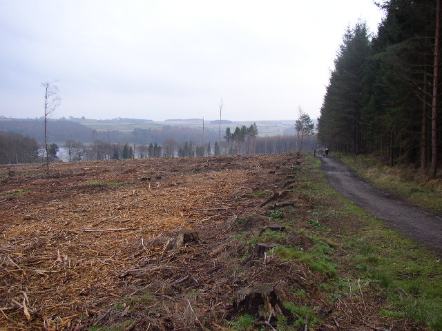
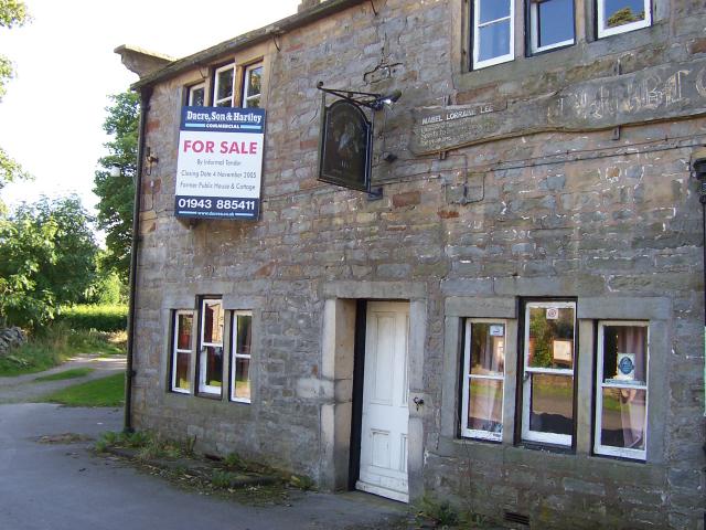
Swinsty Hall Images
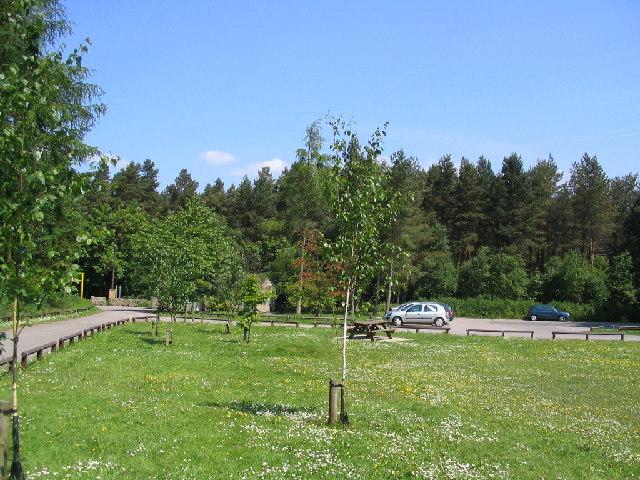
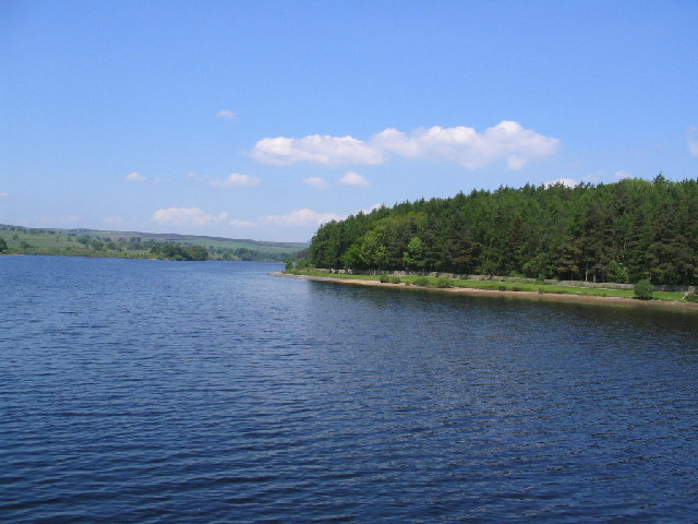
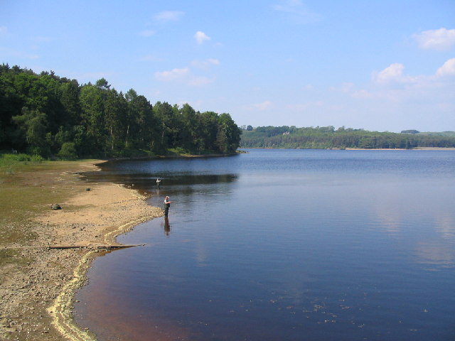
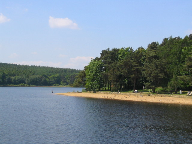
Images are sourced within 2km of 53.977/-1.703 or Grid Reference SE1953. Thanks to Geograph Open Source API. All images are credited.
Swinsty Hall is located at Grid Ref: SE1953 (Lat: 53.977, Lng: -1.703)
Division: West Riding
Administrative County: North Yorkshire
District: Harrogate
Police Authority: North Yorkshire
What 3 Words
///gems.herds.brotherly. Near Stainburn, North Yorkshire
Nearby Locations
Related Wikis
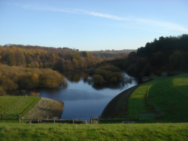
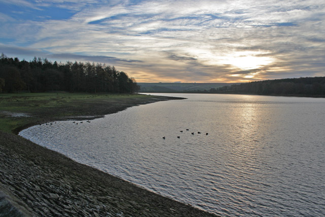
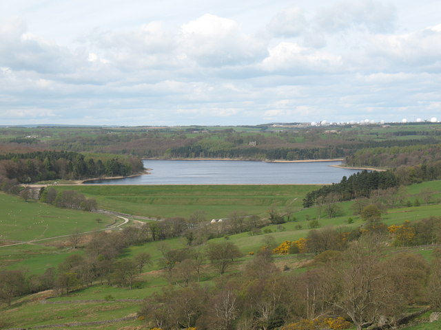
Swinsty Reservoir
Swinsty Reservoir is a reservoir in the Washburn valley north of Otley and west of Harrogate in Yorkshire, England. Construction began in 1871 and was...

Timble
Timble is a village in the Harrogate district of North Yorkshire, England. It is situated on the slopes of the Washburn valley, north of Otley and close...

Fewston Reservoir
Fewston Reservoir is located in the Washburn valley north of Otley and west of Harrogate in Yorkshire, England. It was built in 1879. The capacity is about...

Norwood, North Yorkshire
Norwood is a civil parish in the Harrogate district of North Yorkshire, England. Several areas of Norwood are significantly affluent, with a large number...
Nearby Amenities
Located within 500m of 53.977,-1.703Have you been to Swinsty Hall?
Leave your review of Swinsty Hall below (or comments, questions and feedback).