Swtan
Heritage Site in Anglesey
Wales
Swtan
The requested URL returned error: 429 Too Many Requests
If you have any feedback on the listing, please let us know in the comments section below.
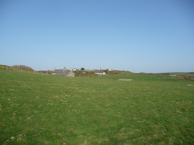
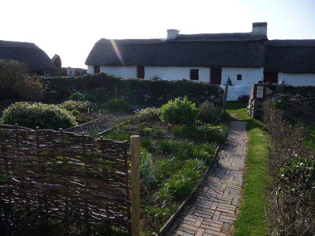
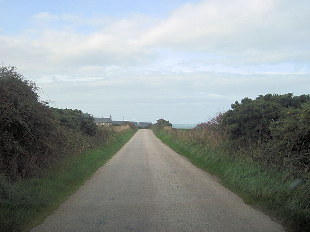
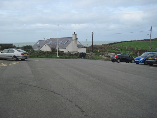
Swtan Images
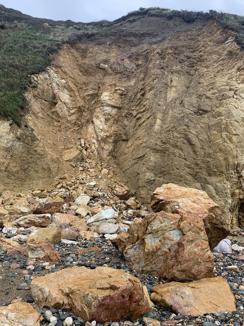
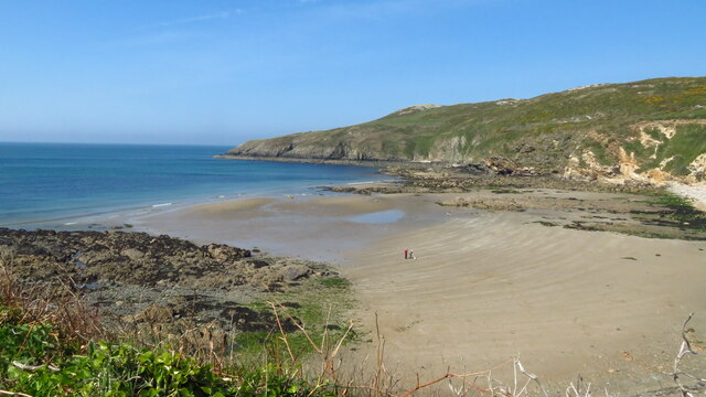
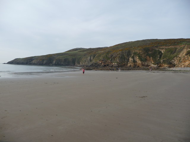
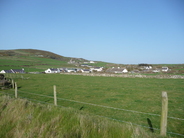
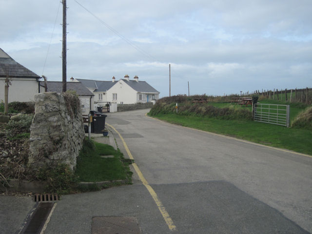
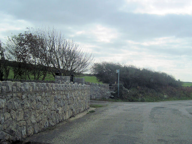
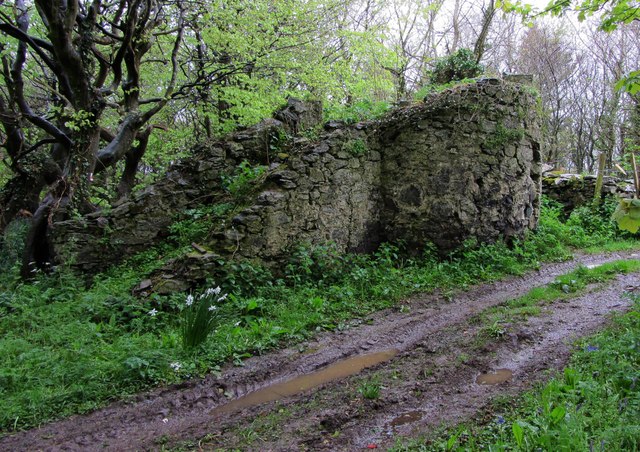
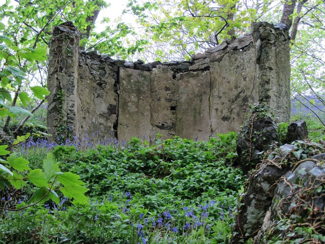
Images are sourced within 2km of 53.371/-4.555 or Grid Reference SH3089. Thanks to Geograph Open Source API. All images are credited.


Swtan is located at Grid Ref: SH3089 (Lat: 53.371, Lng: -4.555)
Unitary Authority: Isle of Anglesey
Police Authority: North Wales
What 3 Words
///sympathy.brilliant.mango. Near Llanfaethlu, Isle of Anglesey
Nearby Locations
Related Wikis
Church Bay, Anglesey
Church Bay (Welsh: Porth Swtan) is a settlement on the north-west coast of Anglesey, Wales, United Kingdom, about a mile and a half north-west of the...

Clegir Mawr
Clegir Mawr is a Site of Special Scientific Interest (SSSI) in the community of Cylch-y-Garn in the north-west of the island of Anglesey, Wales. It is...

Rhydwyn
Rhydwyn (; Rhyd-Wyn) is a village in the community of Cylch-y-Garn, in the north west of Anglesey, Wales. Rhydwyn is named after a little stream that once...

Carreglwyd
Carreglwyd is a Georgian country house, on the northwest of the Isle of Anglesey, about 1 km NW of Llanfaethlu in Wales, at grid reference SH309878. "Carreglwyd...
Nearby Amenities
Located within 500m of 53.371,-4.555Have you been to Swtan?
Leave your review of Swtan below (or comments, questions and feedback).