Studley Priory

Heritage Site in Oxfordshire Cherwell

England

Studley Priory

Road towards Boarstall
Road towards Boarstall Credit: Robin Webster

Studley Priory is a historic site located in Oxfordshire, England. It was originally founded as a priory in the 12th century by the Cistercian monks. The priory was dedicated to St. Mary and St. John the Baptist, and it served as a religious house until the Dissolution of the Monasteries in the 16th century.

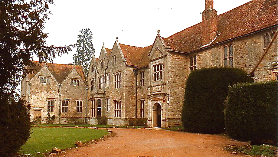
The priory's architecture reflects the Cistercian style, which is characterized by simplicity and austerity. The surviving ruins include the remains of the church, cloister, chapter house, and other domestic buildings. The church was built with local limestone, and its layout followed the common cruciform plan of the Cistercian order.

After the dissolution, the priory was granted to Sir Francis Bryan, a courtier of King Henry VIII. He converted the buildings into a grand country house, which still stands today as Studley Priory House. The house features a mix of architectural styles, including Tudor and Georgian influences.

The surrounding landscape of Studley Priory is also of historical significance. The site is situated within the larger Studley Royal Park, which is a UNESCO World Heritage Site. The park was created in the 18th century and includes stunning gardens, lakes, and monuments. It is considered one of the finest examples of the English landscape garden style.

Studley Priory and its surroundings offer visitors a unique opportunity to explore the rich history and architectural heritage of the region. The site is open to the public, and guided tours are available to provide insights into its fascinating past.

If you have any feedback on the listing, please let us know in the comments section below.

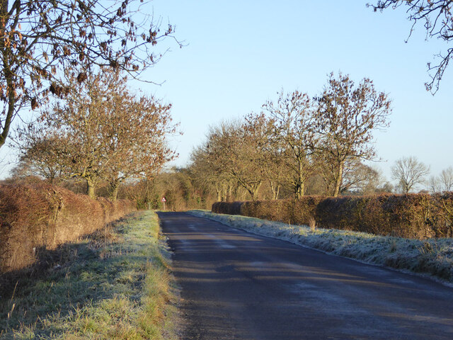
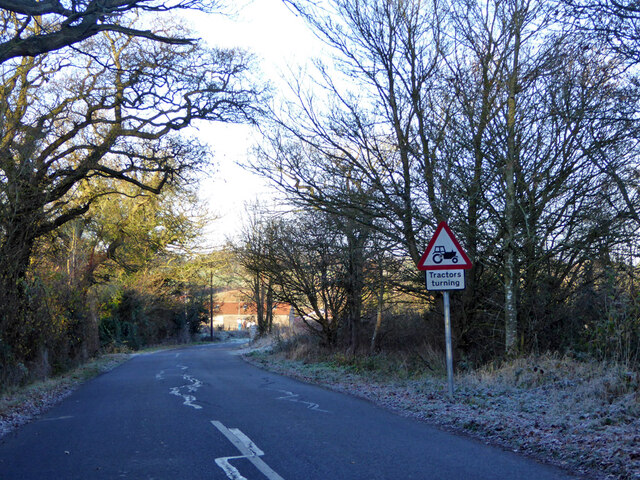
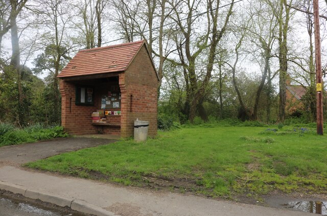
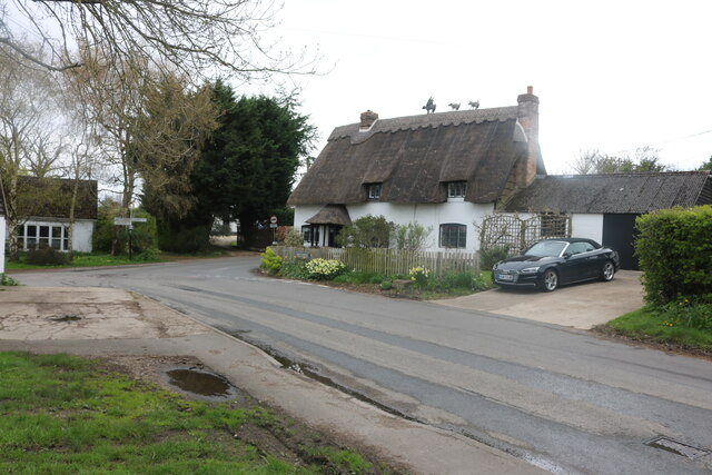
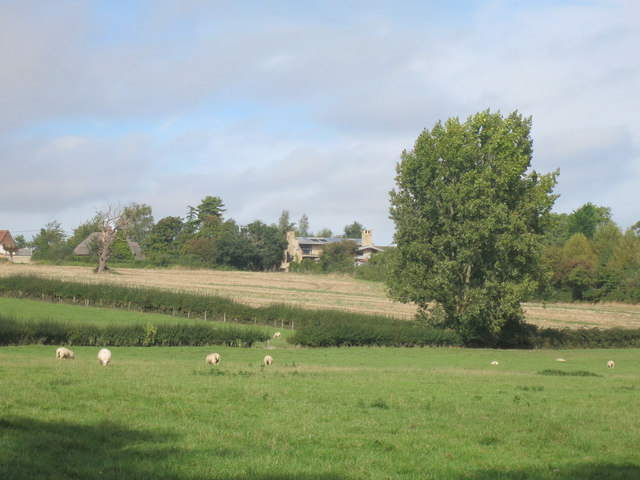
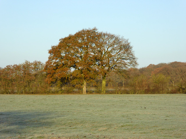
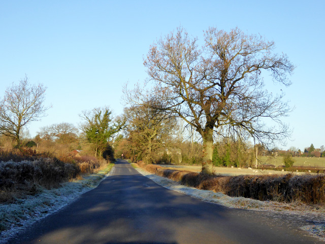
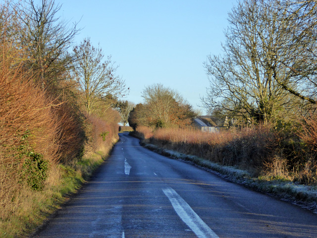
Studley Priory Images

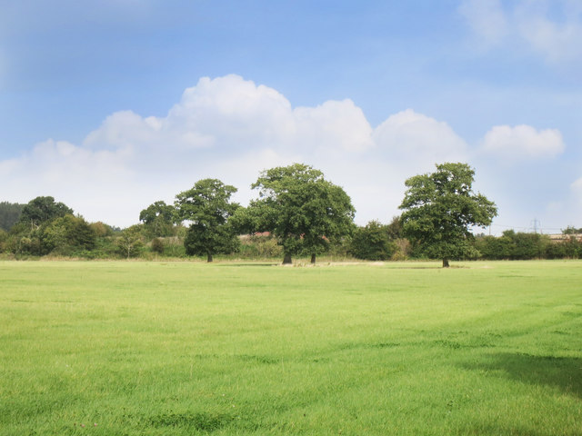
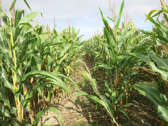
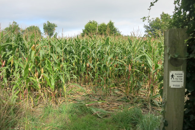
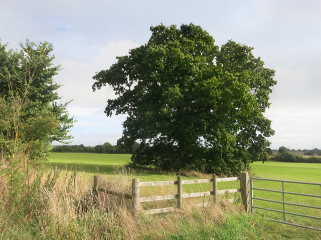
Images are sourced within 2km of 51.808/-1.137 or Grid Reference SP5912. Thanks to Geograph Open Source API. All images are credited.

Road towards Boarstall
Possibly tractors turning on Oakley Road Corner Farm is ahead, likely to be the source of tractor activity.
Possibly tractors turning on Oakley Road
Corner Farm is ahead, likely to be the source of tractor activity.
Oakley Road, Horton-cum-Studley
Green and shelter in Horton-cum-Studley The shelter does not appear to serve a bus stop but is used for notices and exchanging free items.
Green and shelter in Horton-cum-Studley
The shelter does not appear to serve a bus stop but is used for notices and exchanging free items.
Brill Road, Horton-cum-Studley Looking towards Oakley Road
Brill Road, Horton-cum-Studley
Looking towards Oakley Road
Grape hyacinths on Brill Road, Horton-cum-Studley
Red Trailer by the Path Farm trailer beside a public footpath near Horton-Cum-Studley.
Red Trailer by the Path
Farm trailer beside a public footpath near Horton-Cum-Studley.
The entrance to New Arngrove Farm, Horton-cum-Studley
Cows on the edge of Bernwood Forest
Trees in the Meadow There's a public footpath across here, but it's not much used and the grass is very healthy.
One of those times when you just have to believe, and hope you find the gate on the other side.
Trees in the Meadow
There's a public footpath across here, but it's not much used and the grass is very healthy. One of those times when you just have to believe, and hope you find the gate on the other side.
A Maize Maze? Public footpath at Warren Farm.
Pretty much the same place as this <a href="https://www.geograph.org.uk/photo/986661">SP6013 : Footpath to Old Arngrove farm</a> believe it or not.
A Maize Maze?
Public footpath at Warren Farm. Pretty much the same place as this SP6013 : Footpath to Old Arngrove farm believe it or not.
Entering the Maize Please keep to the footpath, says the sign.
Not much chance of wandering off in this lot....
The way through is clear (ish) but you can't see where you are till you get to the other side of the field.
Entering the Maize
Please keep to the footpath, says the sign. Not much chance of wandering off in this lot.... The way through is clear (ish) but you can't see where you are till you get to the other side of the field.
Tree in a field, Warren Farm
Towards Horton cum Studley The village is along the top of a low ridge at just under 100 metres aod.
Towards Horton cum Studley
The village is along the top of a low ridge at just under 100 metres aod.
Hedgerow oaks The hedge is along Danes Brook.
Hedgerow oaks
The hedge is along Danes Brook.
Oakley Road Heading towards Horton-cum-Studley.
Oakley Road
Heading towards Horton-cum-Studley.
Brill Road Heading away from Horton-cum-Studley towards several other places as well as Brill.
Brill Road
Heading away from Horton-cum-Studley towards several other places as well as Brill.
Corner Farm Industrial Estate Various Businesses including a farm shop.
Corner Farm Industrial Estate
Various Businesses including a farm shop.
Show me another place!

Studley Priory is located at Grid Ref: SP5912 (Lat: 51.808, Lng: -1.137)

Administrative County: Oxfordshire

District: Cherwell

Police Authority: Thames Valley

What 3 Words

///shepherdess.verges.maybe. Near Oakley, Buckinghamshire

Related Wikis

Studley Priory, Oxfordshire

Studley Priory was a small house of Benedictine nuns, ruled by a prioress. It was founded some time before 1176 in the hamlet of Studley in what is now...

Horton-cum-Studley

Horton-cum-Studley is a village and civil parish in Oxfordshire about 6+1⁄2 miles (10.5 km) northeast of the centre of Oxford and bordering Otmoor, and...
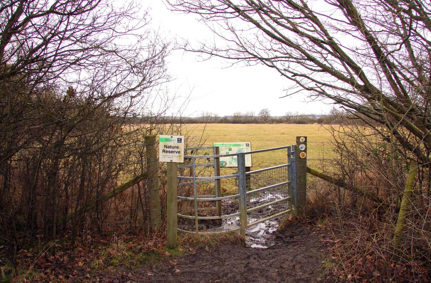
Bernwood Meadows

Bernwood Meadows is a 7.5-hectare (19-acre) nature reserve near Oakley in Buckinghamshire. It is managed by the Berkshire, Buckinghamshire and Oxfordshire...

Bernwood Forest

Bernwood Forest is a forest in England. Historically it was one of several forests of the ancient Kingdom of England and was a Royal hunting forest. It...

Beckley and Stowood

Beckley and Stowood is a civil parish in the South Oxfordshire district of Oxfordshire, England. According to the United Kingdom Census 2011 it had a...

Beckley Park

Beckley Park is an English country house located near the village of Beckley, in Oxfordshire, England. It was built in 1540 by Lord Williams of Thame,...

Whitecross Green and Oriel Woods

Whitecross Green and Oriel Woods is a 63-hectare (160-acre) biological Site of Special Scientific Interest between Oxford and Bicester in Oxfordshire....

Shabbington Woods Complex

Shabbington Woods Complex is a 305.6-hectare (755-acre) biological Site of Special Scientific Interest ((SSSI) between Horton-cum-Studley and Worminghall...

Nearby Amenities

Located within 500m of 51.808,-1.137
Horton-cum-Studley
Is In: Oxfordshire, England, UK
Place: village
Lat/Long: 51.8074475/-1.1345421
The Otmoor Lodge
Tourism: hotel
Lat/Long: 51.8074821/-1.1388791
The Green
Naptan AtcoCode: 340000415OV
Naptan Bearing: E
Naptan BusStopType: CUS
Naptan CommonName: The Green
Naptan Indicator: opp Kings Arms PH
Naptan Landmark: Opp Bus Shelter
Naptan NaptanCode: oxfawtjd
Naptan Street: Village Road
Naptan Verified: no
Source: naptan_import
Lat/Long: 51.8075877/-1.1390399
Bus Stop
The Green
Bench: yes
Bin: no
Bus: yes
Naptan AtcoCode: 340000415V
Naptan Bearing: W
Naptan CommonName: The Green
Naptan Indicator: o/s Kings Arms PH
Naptan Landmark: Bus Shelter
Naptan NaptanCode: oxfamtwg
Naptan Street: Village Road
Naptan Verified: no
Public Transport: platform
Shelter: yes
Source: naptan_import
Tactile Paving: no
Lat/Long: 51.8075284/-1.1395342
Bus Stop
Forge Close
Bench: yes
Bin: yes
Bus: yes
Naptan AtcoCode: 340001747OPP
Naptan Bearing: S
Naptan CommonName: Forge Close
Naptan Indicator: Opposite
Naptan Landmark: Bus Shelter
Naptan NaptanCode: oxfgdjdj
Naptan Street: Brill Road
Naptan Verified: no
Public Transport: platform
Shelter: yes
Source: naptan_import
Tactile Paving: no
Lat/Long: 51.8065677/-1.1311689
Forge Close
Naptan AtcoCode: 340001747ORC
Naptan Bearing: N
Naptan BusStopType: CUS
Naptan CommonName: Forge Close
Naptan Indicator: Corner
Naptan Landmark: Opp Bus Shelter
Naptan NaptanCode: oxfgdjdg
Naptan Street: Brill Road
Naptan Verified: no
Source: naptan_import
Lat/Long: 51.8066288/-1.1309212
Post Box
Check Date: 2021-03-09
Collection Times: Mo-Fr 16:00, Sa 09:15
Operator: Royal Mail
Operator Type: private
Operator Wikidata: Q638098
Post Box Design: type_n
Post Box Type: lamp
Ref: OX33 380
Royal Cypher: EIIR
Royal Cypher Wikidata: Q33102113
Lat/Long: 51.8076281/-1.1395279
Defibrillator
Booth: KX100
Covered: booth
Defibrillator Location: In an old phone box, by The Green and Horton Hill
Emergency: defibrillator
Historic Amenity: telephone
Indoor: yes
Man Made: telephone_box
Opening Hours: 24/7
Lat/Long: 51.8076276/-1.1395689
Parking
Lat/Long: 51.8055628/-1.1396727
Power: pole
Source: Bing
Lat/Long: 51.8084756/-1.1335234
Power: pole
Source: Bing
Lat/Long: 51.8090443/-1.132761
Power: pole
Source: Bing
Lat/Long: 51.8102083/-1.1314897
Power: pole
Source: Bing
Lat/Long: 51.8096329/-1.1321146
Barrier: kissing_gate
Bicycle: no
Foot: yes
Horse: no
Motor Vehicle: no
Lat/Long: 51.8072531/-1.1350625
Generator Source: solar
Location: roof
Power: generator
Lat/Long: 51.8082138/-1.1407676
Generator Source: solar
Location: roof
Power: generator
Lat/Long: 51.8082101/-1.1407106
Generator Source: solar
Location: roof
Power: generator
Lat/Long: 51.80697/-1.1401527
Generator Source: solar
Location: roof
Power: generator
Lat/Long: 51.806963/-1.1403948
Power: pole
Lat/Long: 51.8085871/-1.1394714
Power: pole
Lat/Long: 51.8080356/-1.1394691
Power: pole
Lat/Long: 51.8079738/-1.1343483
Power: pole
Lat/Long: 51.8081204/-1.135318
Power: pole
Lat/Long: 51.8084027/-1.137238
Power: pole
Lat/Long: 51.8085056/-1.1380361
Power: pole
Lat/Long: 51.8086302/-1.1406971
Power: pole
Lat/Long: 51.808247/-1.136179
The data included in this document is from www.openstreetmap.org. The data is made available under ODbL.

Have you been to Studley Priory?

Leave your review of Studley Priory below (or comments, questions and feedback).