Horton-cum-Studley

Settlement in Oxfordshire Cherwell

England

Horton-cum-Studley

Road towards Boarstall
Road towards Boarstall Credit: Robin Webster

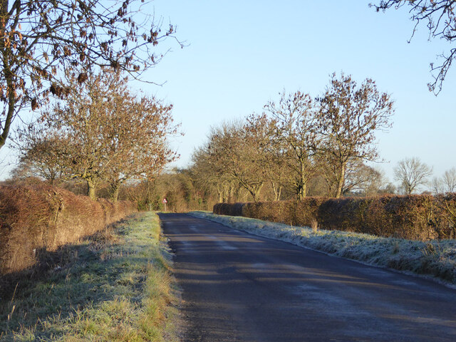
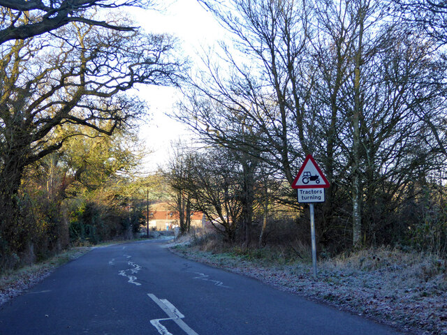
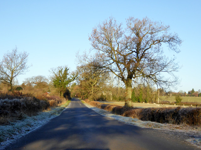
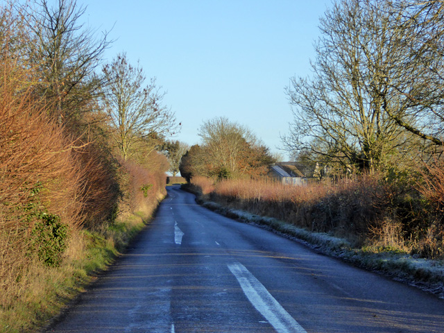
Horton-cum-Studley is a small village located in the Cherwell district of Oxfordshire, England. Situated approximately 8 miles northeast of Oxford, the village is surrounded by picturesque countryside, offering a peaceful and idyllic setting.

The village has a rich history, with evidence of human settlement dating back to the Iron Age. It is believed that Horton-cum-Studley was originally two separate settlements that later merged into one. The name "Horton" is derived from the Old English word "horu-tun," meaning "muddy farmstead," while "Studley" refers to the presence of a medieval deer park.

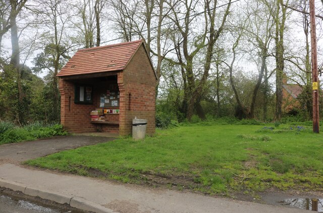
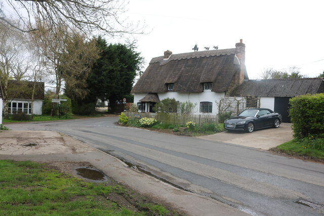
Today, Horton-cum-Studley retains its rural charm, with a population of around 400 residents. The village features a mix of traditional thatched cottages, stone houses, and other period buildings, showcasing its historical heritage.

The heart of the village is dominated by the Church of St. Barnabas, a Grade II listed building dating back to the 12th century. The church's stunning architecture and peaceful atmosphere attract visitors from near and far.

Despite its small size, Horton-cum-Studley boasts a strong sense of community. The village has a local pub, The Crown, which serves as a gathering place for residents. Additionally, various community events and activities, such as the annual village fete, help foster a close-knit community spirit.

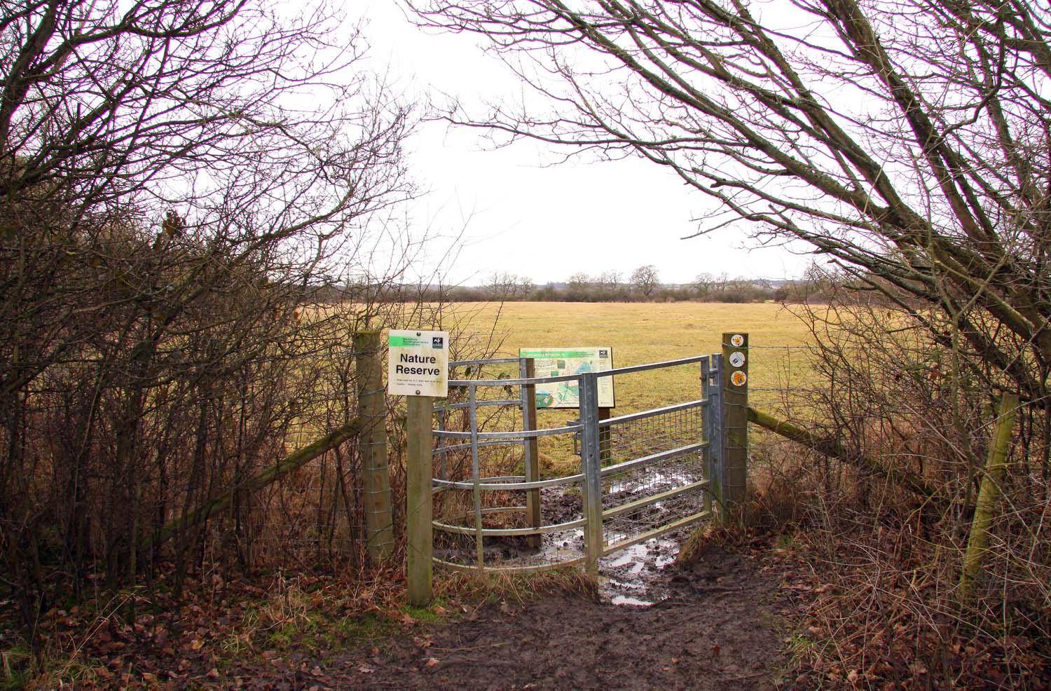
The surrounding countryside offers ample opportunities for outdoor activities, including walking, cycling, and exploring the nearby Otmoor Nature Reserve. With its tranquil atmosphere and historic charm, Horton-cum-Studley provides a delightful escape from the hustle and bustle of city life.

If you have any feedback on the listing, please let us know in the comments section below.

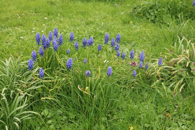
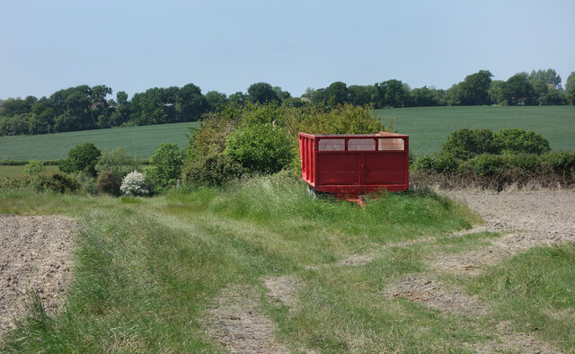
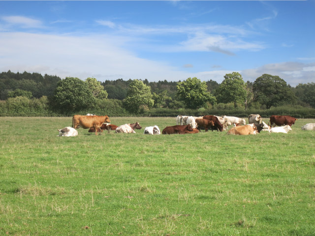
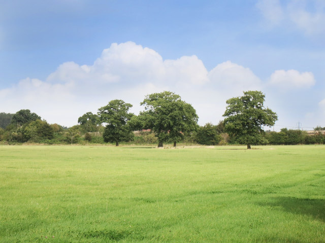
Horton-cum-Studley Images

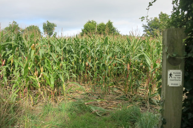
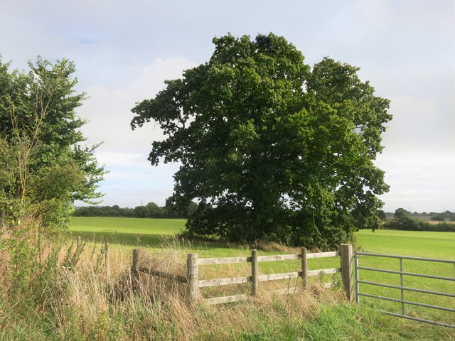
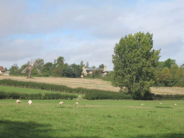
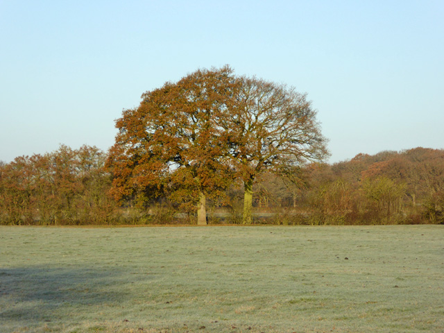
Images are sourced within 2km of 51.80751/-1.139306 or Grid Reference SP5912. Thanks to Geograph Open Source API. All images are credited.

Road towards Boarstall
Possibly tractors turning on Oakley Road Corner Farm is ahead, likely to be the source of tractor activity.
Possibly tractors turning on Oakley Road
Corner Farm is ahead, likely to be the source of tractor activity.
Oakley Road, Horton-cum-Studley
Green and shelter in Horton-cum-Studley The shelter does not appear to serve a bus stop but is used for notices and exchanging free items.
Green and shelter in Horton-cum-Studley
The shelter does not appear to serve a bus stop but is used for notices and exchanging free items.
Brill Road, Horton-cum-Studley Looking towards Oakley Road
Brill Road, Horton-cum-Studley
Looking towards Oakley Road
Grape hyacinths on Brill Road, Horton-cum-Studley
Red Trailer by the Path Farm trailer beside a public footpath near Horton-Cum-Studley.
Red Trailer by the Path
Farm trailer beside a public footpath near Horton-Cum-Studley.
Cows on the edge of Bernwood Forest
Trees in the Meadow There's a public footpath across here, but it's not much used and the grass is very healthy.
One of those times when you just have to believe, and hope you find the gate on the other side.
Trees in the Meadow
There's a public footpath across here, but it's not much used and the grass is very healthy. One of those times when you just have to believe, and hope you find the gate on the other side.
A Maize Maze? Public footpath at Warren Farm.
Pretty much the same place as this <a href="https://www.geograph.org.uk/photo/986661">SP6013 : Footpath to Old Arngrove farm</a> believe it or not.
A Maize Maze?
Public footpath at Warren Farm. Pretty much the same place as this SP6013 : Footpath to Old Arngrove farm believe it or not.
Entering the Maize Please keep to the footpath, says the sign.
Not much chance of wandering off in this lot....
The way through is clear (ish) but you can't see where you are till you get to the other side of the field.
Entering the Maize
Please keep to the footpath, says the sign. Not much chance of wandering off in this lot.... The way through is clear (ish) but you can't see where you are till you get to the other side of the field.
Tree in a field, Warren Farm
Towards Horton cum Studley The village is along the top of a low ridge at just under 100 metres aod.
Towards Horton cum Studley
The village is along the top of a low ridge at just under 100 metres aod.
Hedgerow oaks The hedge is along Danes Brook.
Hedgerow oaks
The hedge is along Danes Brook.
Oakley Road Heading towards Horton-cum-Studley.
Oakley Road
Heading towards Horton-cum-Studley.
Brill Road Heading away from Horton-cum-Studley towards several other places as well as Brill.
Brill Road
Heading away from Horton-cum-Studley towards several other places as well as Brill.
Corner Farm Industrial Estate Various Businesses including a farm shop.
Corner Farm Industrial Estate
Various Businesses including a farm shop.
Entrance to Bernwood Forest Taken from just inside the entrance on the Oakley road.
Bernwood Forest is an ancient forest dating back to the 12th century.
At one time it covered many parishes.
Nowadays it is a Site of Special Scientific Interest and several species of Butterflies may be found here.
Entrance to Bernwood Forest
Taken from just inside the entrance on the Oakley road. Bernwood Forest is an ancient forest dating back to the 12th century. At one time it covered many parishes. Nowadays it is a Site of Special Scientific Interest and several species of Butterflies may be found here.
Show me another place!

Horton-cum-Studley is located at Grid Ref: SP5912 (Lat: 51.80751, Lng: -1.139306)

Administrative County: Oxfordshire

District: Cherwell

Police Authority: Thames Valley

What 3 Words

///plod.evolving.organs. Near Oakley, Buckinghamshire

Related Wikis

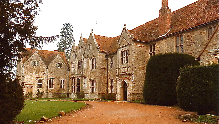
Studley Priory, Oxfordshire

Studley Priory was a small house of Benedictine nuns, ruled by a prioress. It was founded some time before 1176 in the hamlet of Studley in what is now...

Horton-cum-Studley

Horton-cum-Studley is a village and civil parish in Oxfordshire about 6+1⁄2 miles (10.5 km) northeast of the centre of Oxford and bordering Otmoor, and...

Beckley and Stowood

Beckley and Stowood is a civil parish in the South Oxfordshire district of Oxfordshire, England. Its area is 9.17 km2. It is centred 3 miles (4.8 km)...

Bernwood Meadows

Bernwood Meadows is a 7.5-hectare (19-acre) nature reserve near Oakley in Buckinghamshire. It is managed by the Berkshire, Buckinghamshire and Oxfordshire...

Related Videos

Bittern : male & female (dusk encounter) : RSPB Otmoor

This video follows on from https://youtu.be/3V0wa_ZCHnM and https://youtu.be/l3pmqGt04MU A male Eurasian bittern (Botaurus ...

Jack snipe : bob : RSPB Otmoor

Jack snipe (Lymnocryptes minimus), exhibiting its characteristic bouncing / bobbing motion whilst feeding amongst the reed ...

Decriminalize California, in partnership with the Beckley Foundation

Beckley Foundation Executive Director Amanda Feilding announces a partnership with Decriminalize California, the California ...

Nearby Amenities

Located within 500m of 51.80751,-1.139306
Horton-cum-Studley
Is In: Oxfordshire, England, UK
Place: village
Lat/Long: 51.8074475/-1.1345421
The Otmoor Lodge
Tourism: hotel
Lat/Long: 51.8074821/-1.1388791
The Green
Naptan AtcoCode: 340000415OV
Naptan Bearing: E
Naptan BusStopType: CUS
Naptan CommonName: The Green
Naptan Indicator: opp Kings Arms PH
Naptan Landmark: Opp Bus Shelter
Naptan NaptanCode: oxfawtjd
Naptan Street: Village Road
Naptan Verified: no
Source: naptan_import
Lat/Long: 51.8075877/-1.1390399
Bus Stop
The Green
Bench: yes
Bin: no
Bus: yes
Naptan AtcoCode: 340000415V
Naptan Bearing: W
Naptan CommonName: The Green
Naptan Indicator: o/s Kings Arms PH
Naptan Landmark: Bus Shelter
Naptan NaptanCode: oxfamtwg
Naptan Street: Village Road
Naptan Verified: no
Public Transport: platform
Shelter: yes
Source: naptan_import
Tactile Paving: no
Lat/Long: 51.8075284/-1.1395342
Post Box
Check Date: 2021-03-09
Collection Times: Mo-Fr 16:00, Sa 09:15
Operator: Royal Mail
Operator Type: private
Operator Wikidata: Q638098
Post Box Design: type_n
Post Box Type: lamp
Ref: OX33 380
Royal Cypher: EIIR
Royal Cypher Wikidata: Q33102113
Lat/Long: 51.8076281/-1.1395279
Defibrillator
Booth: KX100
Covered: booth
Defibrillator Location: In an old phone box, by The Green and Horton Hill
Emergency: defibrillator
Historic Amenity: telephone
Indoor: yes
Man Made: telephone_box
Opening Hours: 24/7
Lat/Long: 51.8076276/-1.1395689
Parking
Lat/Long: 51.8055628/-1.1396727
Power: pole
Lat/Long: 51.808245/-1.1464243
Power: pole
Source: Bing
Lat/Long: 51.8084756/-1.1335234
Power: pole
Source: Bing
Lat/Long: 51.8090443/-1.132761
Barrier: kissing_gate
Bicycle: no
Foot: yes
Horse: no
Motor Vehicle: no
Lat/Long: 51.8072531/-1.1350625
Generator Source: solar
Location: roof
Power: generator
Lat/Long: 51.8082138/-1.1407676
Generator Source: solar
Location: roof
Power: generator
Lat/Long: 51.8082101/-1.1407106
Generator Source: solar
Location: roof
Power: generator
Lat/Long: 51.80697/-1.1401527
Generator Source: solar
Location: roof
Power: generator
Lat/Long: 51.806963/-1.1403948
Power: pole
Lat/Long: 51.8085871/-1.1394714
Power: pole
Lat/Long: 51.8080356/-1.1394691
Power: pole
Lat/Long: 51.8079738/-1.1343483
Power: pole
Lat/Long: 51.8081204/-1.135318
Power: pole
Lat/Long: 51.8084027/-1.137238
Power: pole
Lat/Long: 51.8085056/-1.1380361
Power: pole
Lat/Long: 51.8086302/-1.1406971
Power: pole
Lat/Long: 51.808247/-1.136179
Power: pole
Lat/Long: 51.8053455/-1.1454113
Power: pole
Lat/Long: 51.8059173/-1.1446524
The data included in this document is from www.openstreetmap.org. The data is made available under ODbL.

Have you been to Horton-cum-Studley?

Leave your review of Horton-cum-Studley below (or comments, questions and feedback).