Studley Castle
Heritage Site in Hampshire New Forest
England
Studley Castle
Studley Castle, located in Hampshire, England, is a historic heritage site that holds great significance in the region. The castle, which dates back to the 12th century, is a fine example of medieval architecture and offers visitors a glimpse into the rich history of Hampshire.
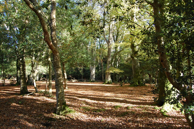
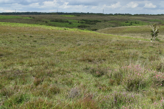
Situated on a picturesque landscape, Studley Castle stands as an imposing structure with its stone walls, towers, and battlements. The castle has seen various architectural additions and alterations over the centuries, reflecting different periods of history. The castle's interior boasts well-preserved medieval features, including grand halls, spiral staircases, and intricately decorated ceilings.
The castle is also surrounded by beautiful gardens and grounds, which were designed in the 19th century by renowned landscape architect Capability Brown. Visitors can explore the sprawling gardens, which feature manicured lawns, ornamental flower beds, and serene water features.
Throughout its history, Studley Castle has served various purposes. It has been a private residence, a military stronghold, and even a hospital during World War II. Today, the castle is open to the public, offering guided tours that provide insight into its fascinating past and architectural significance.
In addition to its historical value, Studley Castle also serves as a venue for weddings, conferences, and other events. The castle's stunning backdrop and unique atmosphere make it a popular choice for those seeking a truly memorable setting.
Overall, Studley Castle in Hampshire stands as a testament to the region's rich history and architectural heritage. Its medieval charm, beautiful gardens, and versatile event spaces make it a must-visit destination for history enthusiasts and event planners alike.
If you have any feedback on the listing, please let us know in the comments section below.
Studley Castle Images
Images are sourced within 2km of 50.947/-1.68 or Grid Reference SU2216. Thanks to Geograph Open Source API. All images are credited.


Studley Castle is located at Grid Ref: SU2216 (Lat: 50.947, Lng: -1.68)
Administrative County: Hampshire
District: New Forest
Police Authority: Hampshire
What 3 Words
///spindles.vesting.solid. Near Downton, Wiltshire
Nearby Locations
Related Wikis
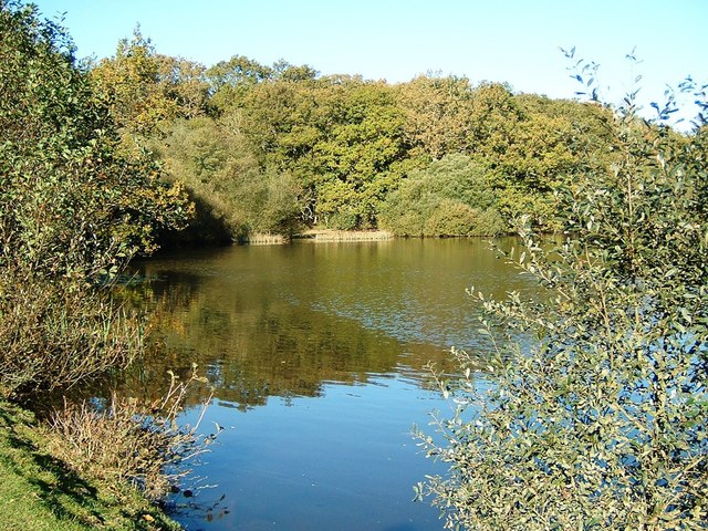
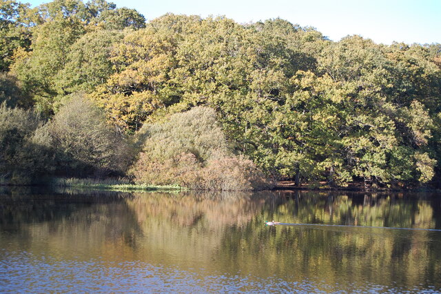
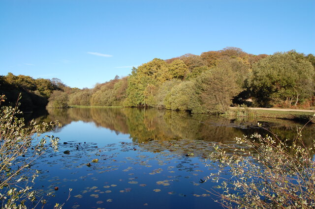
Eyeworth Pond
Eyeworth Pond is a pond located near Fritham in the New Forest, in Hampshire, England. The pond was created in 1871 by damming Latchmore Brook, with the...

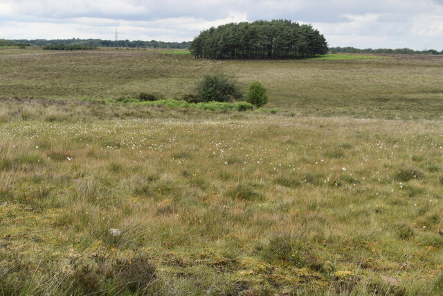
Ashley Range
Ashley Range is a former World War II bombing range in the New Forest, Hampshire, England. The range is approximately 5 mi (8.0 km) north-west of Lyndhurst...

Fritham
Fritham is a small village in Hampshire, England. It lies in the north of the New Forest, near the Wiltshire border. It is in the civil parish of Bramshaw...

Nomansland, Wiltshire
Nomansland is a small village in Wiltshire, England, close to the county border with Hampshire. It is part of the parish of Landford and lies about 3.5...

Loosehanger Copse and Meadows
Loosehanger Copse and Meadows (grid reference SU215195) is a 56.27 hectare biological Site of Special Scientific Interest in Wiltshire, England, notified...

RAF Stoney Cross
Royal Air Force Stoney Cross or more simply RAF Stoney Cross is a former Royal Air Force station in the New Forest, Hampshire, England. The airfield is...

Bohemia, Wiltshire
Bohemia is a hamlet in Wiltshire, England, in the parish of Redlynch. It lies about 1 mile (1.6 km) southeast of Redlynch and 7.5 miles (12 km) southeast...
Hamptworth
Hamptworth is a hamlet in Wiltshire, England, in the extreme southeast of the county. It is in the civil parish of Landford, and lies within the boundaries...
Nearby Amenities
Located within 500m of 50.947,-1.68Have you been to Studley Castle?
Leave your review of Studley Castle below (or comments, questions and feedback).