Stockton Earthworks

Heritage Site in Wiltshire

England

Stockton Earthworks

A303, westbound The A303 is a main trunk road running 92 miles between Basingstoke and Honiton. Along with the A30 and M3 it forms a major route between London and the South West. Much of the road is dual carriageway, but some stretches remain single and prone to congestion.

Wikipedia: <span class="nowrap"><a title="http://en.wikipedia.org/wiki/A303_road" rel="nofollow ugc noopener" href="http://en.wikipedia.org/wiki/A303_road">Link</a><img style="margin-left:2px;" alt="External link" title="External link - shift click to open in new window" src="https://s1.geograph.org.uk/img/external.png" width="10" height="10"/></span>
A303, westbound Credit: N Chadwick

Stockton Earthworks, located in the county of Wiltshire, England, is a significant heritage site that holds great archaeological and historical importance. The earthworks consist of a series of ancient features and structures, dating back to the Neolithic period, which have been preserved remarkably well over the centuries.

The site covers an area of approximately 12 acres and includes various elements such as burial mounds, ditches, embankments, and other earthwork formations. These features are believed to have been part of a complex ceremonial landscape, possibly used for religious or social gatherings, and provide valuable insights into the religious practices and cultural traditions of the Neolithic people.

One of the most prominent features of Stockton Earthworks is a large circular enclosure, measuring around 180 meters in diameter. This enclosure is surrounded by a deep ditch and an outer bank, which would have required significant effort and organization to construct using primitive tools. The purpose of this enclosure remains unclear, but it is thought to have played a central role in the religious or communal activities of the Neolithic community.

Excavations and surveys conducted at Stockton Earthworks have revealed the presence of human remains, pottery fragments, and other artifacts that offer glimpses into the lives of the people who inhabited the area over 4,000 years ago. These findings have provided valuable information about their burial practices, social structure, and technological advancements.

Today, Stockton Earthworks is protected as a scheduled monument and is open to the public, attracting visitors interested in exploring the rich history and cultural heritage of this ancient site.

If you have any feedback on the listing, please let us know in the comments section below.

Stockton Earthworks Images

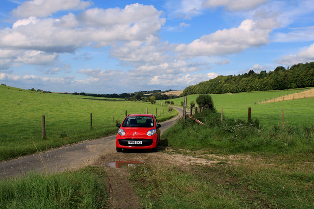
Images are sourced within 2km of 51.127/-2.05 or Grid Reference ST9636. Thanks to Geograph Open Source API. All images are credited.

A303, westbound The A303 is a main trunk road running 92 miles between Basingstoke and Honiton. Along with the A30 and M3 it forms a major route between London and the South West. Much of the road is dual carriageway, but some stretches remain single and prone to congestion.

Wikipedia: <span class="nowrap"><a title="http://en.wikipedia.org/wiki/A303_road" rel="nofollow ugc noopener" href="http://en.wikipedia.org/wiki/A303_road">Link</a><img style="margin-left:2px;" alt="External link" title="External link - shift click to open in new window" src="https://s1.geograph.org.uk/img/external.png" width="10" height="10"/></span>
A303, westbound
The A303 is a main trunk road running 92 miles between Basingstoke and Honiton. Along with the A30 and M3 it forms a major route between London and the South West. Much of the road is dual carriageway, but some stretches remain single and prone to congestion. Wikipedia: LinkExternal link
A303, eastbound The A303 is a main trunk road running 92 miles between Basingstoke and Honiton. Along with the A30 and M3 it forms a major route between London and the South West. Much of the road is dual carriageway, but some stretches remain single and prone to congestion.

Wikipedia: <span class="nowrap"><a title="http://en.wikipedia.org/wiki/A303_road" rel="nofollow ugc noopener" href="http://en.wikipedia.org/wiki/A303_road">Link</a><img style="margin-left:2px;" alt="External link" title="External link - shift click to open in new window" src="https://s1.geograph.org.uk/img/external.png" width="10" height="10"/></span>
A303, eastbound
The A303 is a main trunk road running 92 miles between Basingstoke and Honiton. Along with the A30 and M3 it forms a major route between London and the South West. Much of the road is dual carriageway, but some stretches remain single and prone to congestion. Wikipedia: LinkExternal link
Countryside next to the A303 This field is on the south side of the dual carriageway main road between Hart Coppice visible on the left, and Fonthill bushes which is on the other side of the main road. The road in the foreground would appear to be part of the old single track A303 before it was upgraded to a dual carriageway.
Countryside next to the A303
This field is on the south side of the dual carriageway main road between Hart Coppice visible on the left, and Fonthill bushes which is on the other side of the main road. The road in the foreground would appear to be part of the old single track A303 before it was upgraded to a dual carriageway.
A303 The A303 is a main trunk road running 92 miles between Basingstoke and Honiton. Along with the A30 and M3 it forms a major route between London and the South West. Much of the road is dual carriageway, but some stretches remain single and prone to congestion.

Wikipedia: <span class="nowrap"><a title="http://en.wikipedia.org/wiki/A303_road" rel="nofollow ugc noopener" href="http://en.wikipedia.org/wiki/A303_road">Link</a><img style="margin-left:2px;" alt="External link" title="External link - shift click to open in new window" src="https://s1.geograph.org.uk/img/external.png" width="10" height="10"/></span>
A303
The A303 is a main trunk road running 92 miles between Basingstoke and Honiton. Along with the A30 and M3 it forms a major route between London and the South West. Much of the road is dual carriageway, but some stretches remain single and prone to congestion. Wikipedia: LinkExternal link
A303, westbound The A303 is a main trunk road running 92 miles between Basingstoke and Honiton. Along with the A30 and M3 it forms a major route between London and the South West. Much of the road is dual carriageway, but some stretches remain single and prone to congestion.

Wikipedia: <span class="nowrap"><a title="http://en.wikipedia.org/wiki/A303_road" rel="nofollow ugc noopener" href="http://en.wikipedia.org/wiki/A303_road">Link</a><img style="margin-left:2px;" alt="External link" title="External link - shift click to open in new window" src="https://s1.geograph.org.uk/img/external.png" width="10" height="10"/></span>
A303, westbound
The A303 is a main trunk road running 92 miles between Basingstoke and Honiton. Along with the A30 and M3 it forms a major route between London and the South West. Much of the road is dual carriageway, but some stretches remain single and prone to congestion. Wikipedia: LinkExternal link
Fonthill Bushes
Fonthill Bushes
A303 heading west
A303 heading west
A303 heading west
A303 heading west
A303 heading west Just at the start of a dual carriageway section.
A303 heading west
Just at the start of a dual carriageway section.
Chilmark : A303 Looking along the A303.
Chilmark : A303
Looking along the A303.
2011 : Guardian of the straw On a lane to nowhere south of Sherrington.
While I was there a large vehicle arrived to remove the bales (not all at once). The "guardian" was equipped with a lifting device to load it.
2011 : Guardian of the straw
On a lane to nowhere south of Sherrington. While I was there a large vehicle arrived to remove the bales (not all at once). The "guardian" was equipped with a lifting device to load it.
2011 : Home from the hill, Park Bottom The tractor was harrowing.
2011 : Home from the hill, Park Bottom
The tractor was harrowing.
2011 : Blue "road" in a wheatfield Thought the flowers were thistles at first, but not so.
Between Stockton Down and Sherrington Down.
The wood's behind are in Great Bottom.
2011 : Blue "road" in a wheatfield
Thought the flowers were thistles at first, but not so. Between Stockton Down and Sherrington Down. The wood's behind are in Great Bottom.
2011 : On the unnamed road to Sherrington No name, doesn't go anywhere. A there-and-back-again road through some good walking country.
2011 : On the unnamed road to Sherrington
No name, doesn't go anywhere. A there-and-back-again road through some good walking country.
Show me another place!

Stockton Earthworks is located at Grid Ref: ST9636 (Lat: 51.127, Lng: -2.05)

Unitary Authority: Wiltshire

Police Authority: Wiltshire

What 3 Words

///quietest.fatherly.dean. Near Stockton, Wiltshire

Related Wikis

Stockton Wood and Down

Stockton Wood and Down (grid reference ST958366) is a 61.5 hectare biological Site of Special Scientific Interest in the southwest of Stockton parish in...

West Wiltshire Downs

The West Wiltshire Downs is an area of downland in the west of the county of Wiltshire, England. The West Wiltshire Downs are geologically the same unit...
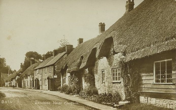
Stockton, Wiltshire

Stockton is a small village and civil parish in the Wylye Valley in Wiltshire, England, about 8 miles (13 km) southeast of Warminster. The parish includes...

Sherrington

Sherrington is a small village and civil parish on the River Wylye in Wiltshire, England. The part of the Great Ridge Wood known as Snailcreep Hanging...

Bapton

Bapton is a hamlet in Wiltshire, England, in the civil parish of Stockton. It lies south of the A36 and the River Wylye, on the minor road which follows...

Woolstore Theatre

The Woolstore Theatre is a theatre in the village of Codford, Wiltshire, England. The theatre has been operating since 1928, when it was built by Colonel...

Codford

Codford is a civil parish south of Salisbury Plain in the Wylye Valley in Wiltshire, England. Its settlements are the adjacent villages of Codford St Peter...
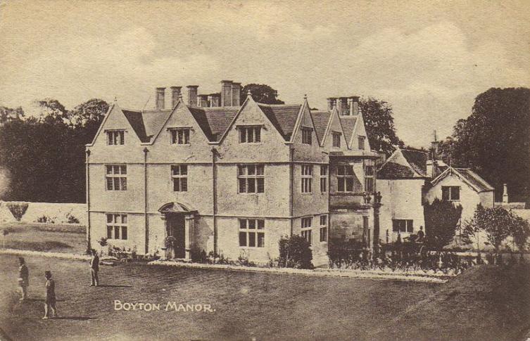
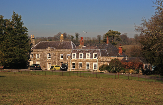
Boyton, Wiltshire

Boyton is a village and civil parish in Wiltshire, England. It lies in the Wylye Valley within Salisbury Plain, about 6 miles (10 km) south-east of Warminster...

Nearby Amenities

Located within 500m of 51.127,-2.05
The data included in this document is from www.openstreetmap.org. The data is made available under ODbL.

Have you been to Stockton Earthworks?

Leave your review of Stockton Earthworks below (or comments, questions and feedback).