Stockland Little Castle
Heritage Site in Devon East Devon
England
Stockland Little Castle
Stockland Little Castle is a historic heritage site located in Devon, England. This medieval castle dates back to the 14th century and is known for its unique architectural style and rich history. The castle is situated in the picturesque village of Stockland, surrounded by rolling hills and scenic landscapes.
The castle, although small in size, boasts a magnificent structure with its stone walls and tower. It was originally built as a defensive structure, serving as a stronghold for the local lord. Over the centuries, it has undergone several modifications and additions, giving it a distinctive appearance.
Visitors to Stockland Little Castle can explore the various sections of the castle, including the Great Hall, which features a large fireplace and a vaulted ceiling. The castle also houses a chapel, where religious ceremonies and gatherings were held in the past. The castle grounds offer stunning views of the surrounding countryside and provide a peaceful setting for visitors to stroll around.
Stockland Little Castle is a popular tourist attraction, drawing history enthusiasts and architecture lovers alike. Guided tours are available, providing detailed information about the castle's history and its significance in the region. The site also hosts special events and exhibitions, showcasing artifacts and artworks related to the castle's past.
Overall, Stockland Little Castle is a significant heritage site in Devon, offering visitors a glimpse into the medieval era and providing a unique experience of England's rich historical heritage.
If you have any feedback on the listing, please let us know in the comments section below.
Stockland Little Castle Images
Images are sourced within 2km of 50.825/-3.1 or Grid Reference ST2203. Thanks to Geograph Open Source API. All images are credited.
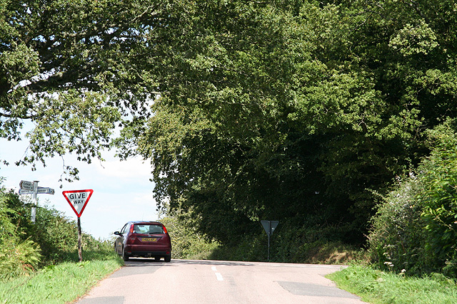


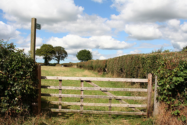
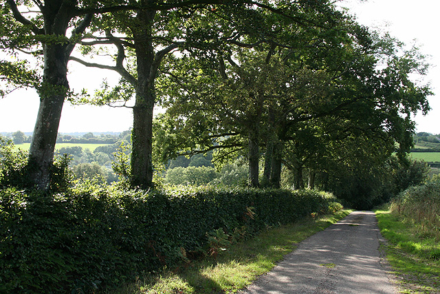
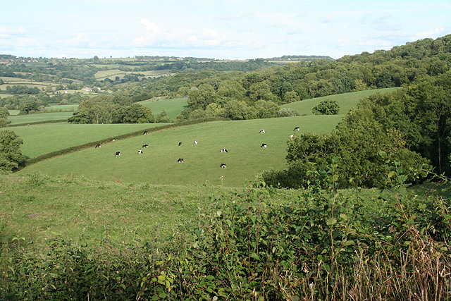
![Stockland: by Stockland Great Castle The lane runs east to Broadhayes Farm. Trees on the left indicate the remaining ditch and rampart of the Iron Age hillfort, Stockland Great Castle, which stands on a slope to the east of a ridgeway. Slingstones were found here in the mid nineteenth century. Hoskins [Devon] indicates this was possibly one of the more easterly hillforts of the Dumnonii tribe, facing the Dorset-based Durotriges to their east](https://s1.geograph.org.uk/photos/22/63/226373_f05dfdb3.jpg)

Stockland Little Castle is located at Grid Ref: ST2203 (Lat: 50.825, Lng: -3.1)
Administrative County: Devon
District: East Devon
Police Authority: Devon and Cornwall
What 3 Words
///waltzes.wages.companies. Near Honiton, Devon
Nearby Locations
Related Wikis

Stockland Castle
Stockland Castle is the name given to two Iron Age hill forts on Stockland Hill close to Stockland in Devon, England. Stockland Great Castle (50.8178°N...
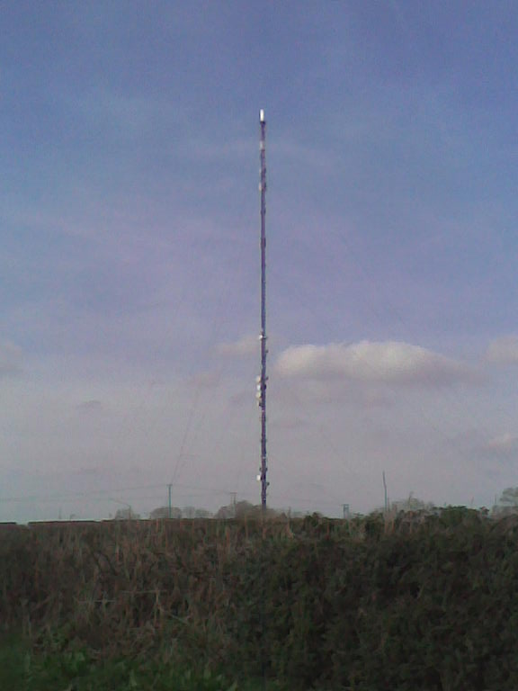
Stockland Hill transmitting station
The Stockland Hill transmitting station is a transmitting facility of FM Radio and UHF television located near Honiton, Devon, England. This transmitter...
Stockland, Devon
Stockland is a village and civil parish in Devon, close to the Somerset boundary. The parish is surrounded clockwise from the north by the parishes of...

Cotleigh
Cotleigh is a village and civil parish near Honiton in Devon, England. It is surrounded clockwise from the north by the parishes of Upottery, Stockland...

Wilmington, Devon
Wilmington is a village between Axminster and Honiton in East Devon on the A35 road.The entire village is now in the parish of Widworthy, although this...

Dalwood
Dalwood is a village and county parish in the East Devon district of the English county of Devon. It is approximately 3 miles (4.8 km) away from the nearest...

Monkton, Devon
Monkton is a village and civil parish on the River Otter, about 2 miles north east of Honiton railway station, in the East Devon district, in the county...

Widworthy
Widworthy is a village, parish and former manor in Devon, England. The village is 3 1/2 miles east of Honiton and the parish is surrounded clockwise from...
Nearby Amenities
Located within 500m of 50.825,-3.1Have you been to Stockland Little Castle?
Leave your review of Stockland Little Castle below (or comments, questions and feedback).