Stockton House
Heritage Site in Wiltshire
England
Stockton House

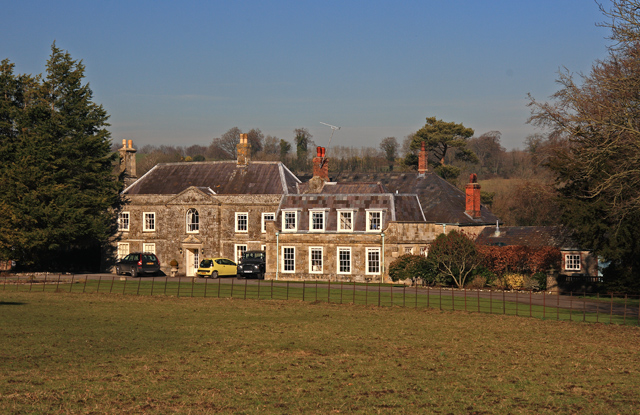
Stockton House is a magnificent country mansion located in the picturesque county of Wiltshire, England. It is recognized as a heritage site due to its historical and architectural significance. The house dates back to the early 17th century, with subsequent additions and renovations carried out in later centuries.
The main building of Stockton House is a fine example of Jacobean architecture, characterized by its symmetrical design, mullioned windows, and a grand entrance porch. The house is constructed with locally sourced limestone, giving it a distinct and charming appearance. Inside, visitors can explore a series of beautifully decorated rooms, showcasing period features such as ornate plasterwork, original fireplaces, and intricately carved woodwork.
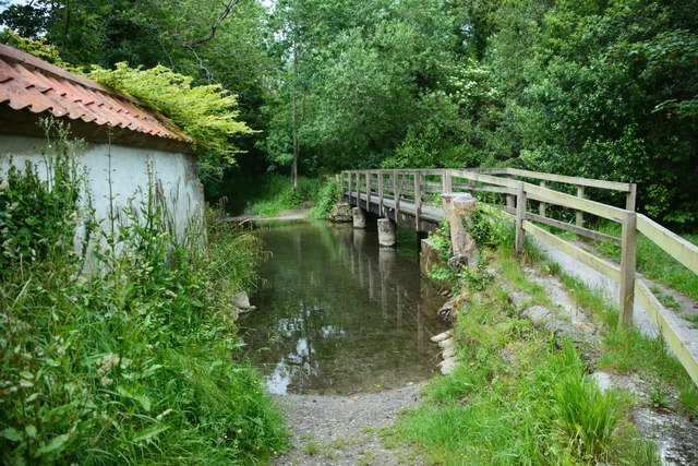
The house is set within a vast estate that spans over 1,000 acres of rolling parkland, offering visitors breathtaking views of the surrounding countryside. The gardens themselves are a highlight of the property, featuring meticulously manicured lawns, vibrant flower beds, and a tranquil water garden. Additionally, there are several well-preserved outbuildings on the estate, including a stable block and a charming orangery.
Stockton House has a rich history, having been owned by notable families throughout the centuries. Today, it remains a private residence but opens its doors to the public on select occasions, allowing visitors to step back in time and experience the grandeur of this historic home. Whether one is interested in architecture, history, or simply enjoying the beauty of the English countryside, Stockton House is a must-visit destination.
If you have any feedback on the listing, please let us know in the comments section below.
Stockton House Images
Images are sourced within 2km of 51.145/-2.035 or Grid Reference ST9738. Thanks to Geograph Open Source API. All images are credited.


Stockton House is located at Grid Ref: ST9738 (Lat: 51.145, Lng: -2.035)
Unitary Authority: Wiltshire
Police Authority: Wiltshire
What 3 Words
///recur.divorcing.enclosing. Near Stockton, Wiltshire
Nearby Locations
Related Wikis
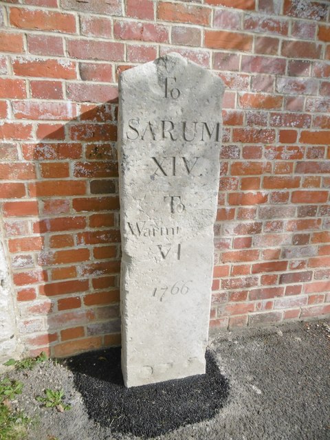
Stockton, Wiltshire
Stockton is a small village and civil parish in the Wylye Valley in Wiltshire, England, about 8 miles (13 km) southeast of Warminster. The parish includes...
Bapton
Bapton is a hamlet in Wiltshire, England, in the civil parish of Stockton. It lies south of the A36 and the River Wylye, on the minor road which follows...

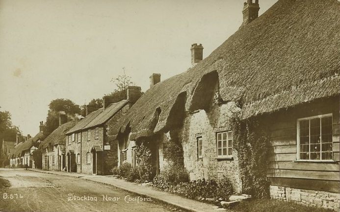
Codford
Codford is a civil parish south of Salisbury Plain in the Wylye Valley in Wiltshire, England. Its settlements are the adjacent villages of Codford St Peter...

Woolstore Theatre
The Woolstore Theatre is a theatre in the village of Codford, Wiltshire, England. The theatre has been operating since 1928, when it was built by Colonel...
Nearby Amenities
Located within 500m of 51.145,-2.035Have you been to Stockton House?
Leave your review of Stockton House below (or comments, questions and feedback).