Stobhall

Heritage Site in Perthshire

Scotland

Stobhall

Campsie Linn A large dolerite dyke cutting across the River Tay.
Campsie Linn Credit: Richard Sutcliffe

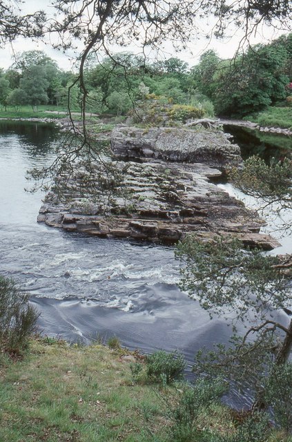
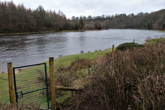
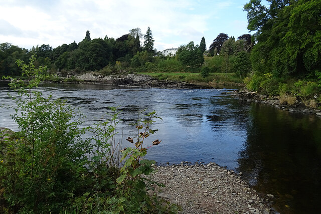
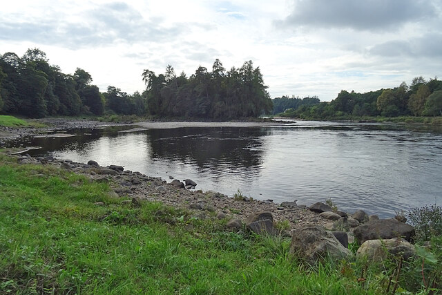
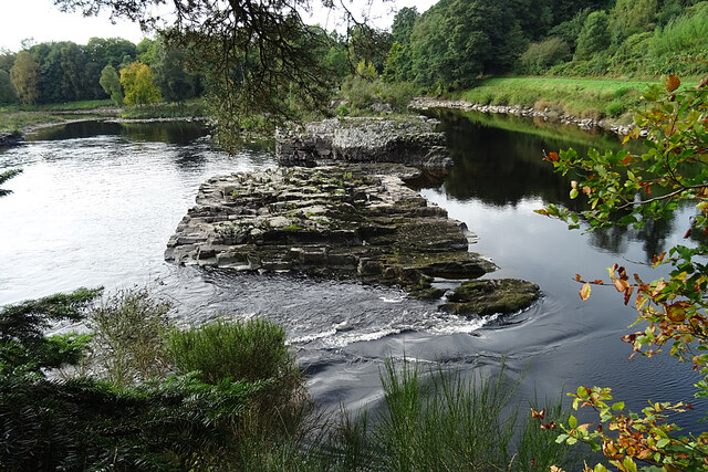
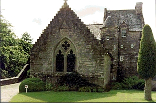
Stobhall, located in Perthshire, Scotland, is a historically significant heritage site with a rich and intriguing history. Situated on the banks of the River Tay, this stunning estate has witnessed centuries of Scottish heritage.

The origins of Stobhall can be traced back to the 12th century when it was a fortified tower house, built by the Stewarts of Scotland. Over the years, the estate changed hands several times, with each owner leaving their mark on the property. In the 18th century, the renowned architect Robert Adam was commissioned to remodel the house, adding his distinctive neoclassical style.

Today, Stobhall stands as an impressive country house surrounded by beautifully landscaped gardens and woodlands. The main attraction of the estate is the magnificent house itself, which showcases a blend of architectural styles. Visitors can explore the grand rooms, adorned with intricate plasterwork and elegant furnishings, providing a glimpse into the opulence of the past.

The gardens of Stobhall are equally captivating. With their manicured lawns, vibrant flowerbeds, and tranquil water features, they offer a peaceful retreat for visitors. The estate also boasts a walled garden, where an array of vegetables, fruits, and herbs are grown using traditional methods.

In addition to its architectural and natural beauty, Stobhall also has connections to notable historical figures. It was once the residence of the Earls of Mansfield, who played a significant role in the abolition of slavery in Britain.

Stobhall, Perthshire, is a captivating heritage site that preserves the history and grandeur of Scotland. Its stunning architecture, picturesque gardens, and rich historical significance make it a must-visit destination for history enthusiasts and nature lovers alike.

If you have any feedback on the listing, please let us know in the comments section below.

Stobhall Images

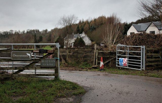
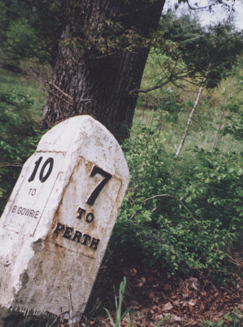
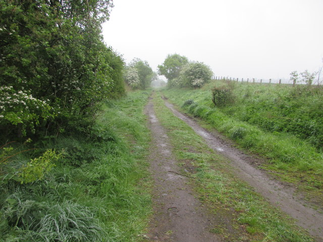
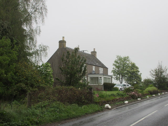
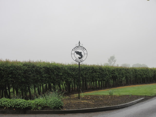
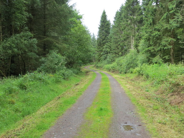
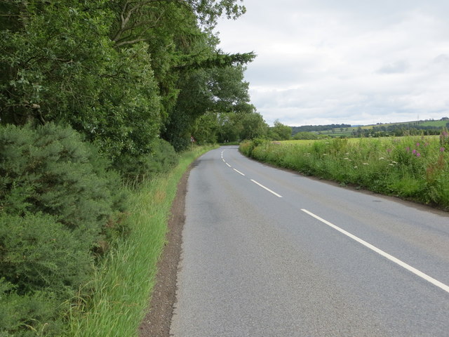
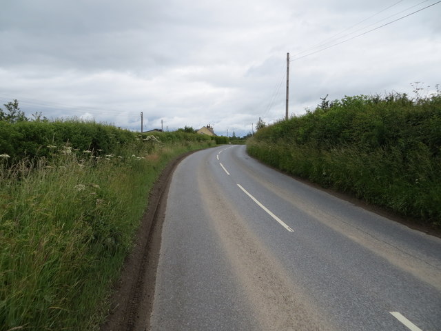
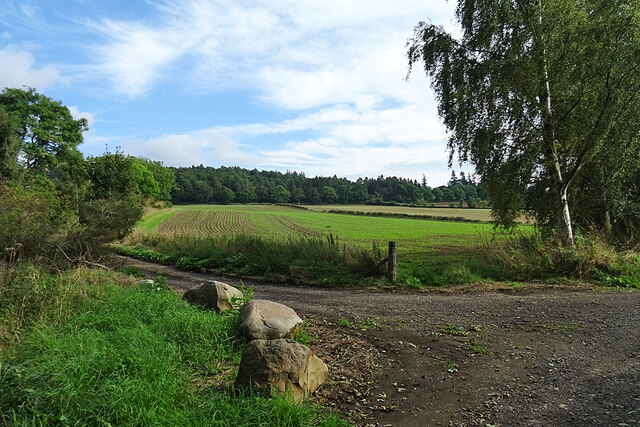
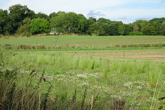
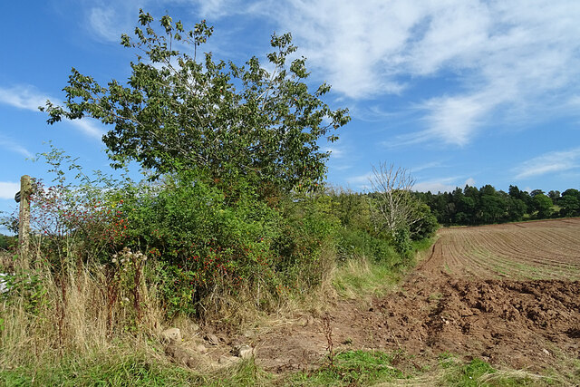
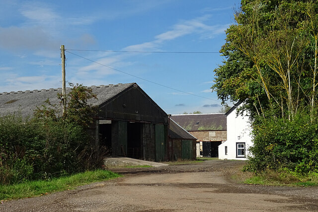
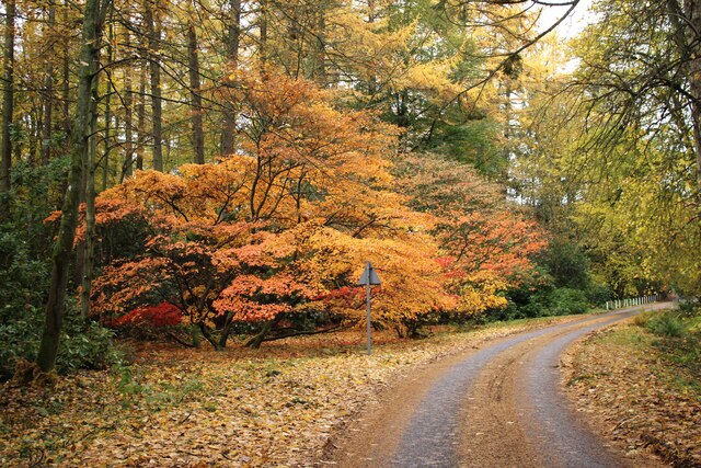
Images are sourced within 2km of 56.495/-3.405 or Grid Reference NO1334. Thanks to Geograph Open Source API. All images are credited.

Campsie Linn A large dolerite dyke cutting across the River Tay.
Campsie Linn
A large dolerite dyke cutting across the River Tay.
Detached houses at Burnmouth Ferry on the Tay
The Tay near Campsie Linn
Old Milestone by the A93, north of Campsie Hill, Cargill parish Stone post with plates by the A93, in parish of Cargill (Perth & Kinross District), North of Campsie Hill, on verge.

Inscription reads:-
: 10 / TO / B'GOWRIE : : 7 / TO / PERTH :

Surveyed

Milestone Society National ID: PK_PTBG07
Old Milestone by the A93, north of Campsie Hill, Cargill parish
Stone post with plates by the A93, in parish of Cargill (Perth & Kinross District), North of Campsie Hill, on verge. Inscription reads:- : 10 / TO / B'GOWRIE : : 7 / TO / PERTH : Surveyed Milestone Society National ID: PK_PTBG07
Line of old railway Course of the former Strathmore Railway Line heading north-eastwards near Innernyte.
Line of old railway
Course of the former Strathmore Railway Line heading north-eastwards near Innernyte.
Knockshinnan House The house at Knockshinnan, viewed from the roadside to the south.
Knockshinnan House
The house at Knockshinnan, viewed from the roadside to the south.
Sign for Taymount Mains Taymount Mains sign at the roadside entrance to the north-west.
Sign for Taymount Mains
Taymount Mains sign at the roadside entrance to the north-west.
Track in Taymount Wood Looking north-westward.
Track in Taymount Wood
Looking north-westward.
Road beside Taymount Wood Looking eastward towards Knockshinnan.
Road beside Taymount Wood
Looking eastward towards Knockshinnan.
Road near to Innernyte Looking north-eastward.
Road near to Innernyte
Looking north-eastward.
Campsie Linn From here, and with the river level very low, it doesn't look much. The white house is Taymount House, on the far bank and in the next grid square.
Campsie Linn
From here, and with the river level very low, it doesn't look much. The white house is Taymount House, on the far bank and in the next grid square.
River Tay below Campsie Linn The clump of trees is on what the maps show as an island, but the river level is so low that it is not cut off from the bank at the moment.
River Tay below Campsie Linn
The clump of trees is on what the maps show as an island, but the river level is so low that it is not cut off from the bank at the moment.
Campsie Linn This is the best place to view Campsie Linn, but it is becoming rather overgrown. The linn is formed by a wide igneous dyke, part of a dyke swarm intruded during the Carboniferous. This dyke runs for many miles across Perthshire, not always exposed at the surface. You can see that the further away section is not aligned with the nearer part, because there is a fault between them that has displaced them laterally.
Campsie Linn
This is the best place to view Campsie Linn, but it is becoming rather overgrown. The linn is formed by a wide igneous dyke, part of a dyke swarm intruded during the Carboniferous. This dyke runs for many miles across Perthshire, not always exposed at the surface. You can see that the further away section is not aligned with the nearer part, because there is a fault between them that has displaced them laterally.
Fields near Campsie Although it's only mid-September, it looks as if next year's cereal crop has already got a start.
Fields near Campsie
Although it's only mid-September, it looks as if next year's cereal crop has already got a start.
Fields at Campsie The farmer has left a wide uncultivated margin, which has been colonised by Mayweed among other wild plants.
Fields at Campsie
The farmer has left a wide uncultivated margin, which has been colonised by Mayweed among other wild plants.
Field Margin A burgeoning hedge alongside an arable field at Campsie.
Field Margin
A burgeoning hedge alongside an arable field at Campsie.
Campsie Farm A glimpse into the farm yard from the path to Campsie Linn.
Campsie Farm
A glimpse into the farm yard from the path to Campsie Linn.
Autumn colours, Ballathie House Hotel A group of Acers at a bend in the drive at the Ballathie House Hotel.
Autumn colours, Ballathie House Hotel
A group of Acers at a bend in the drive at the Ballathie House Hotel.
Show me another place!

Stobhall is located at Grid Ref: NO1334 (Lat: 56.495, Lng: -3.405)

Unitary Authority: Perth and Kinross

Police Authority: Tayside

What 3 Words

///gift.peachy.reflector. Near Stanley, Perth & Kinross

Nearby Locations

Stobhall Wood Stobhall

Related Wikis

Stobhall

Stobhall (or Stobhall Castle) is a country house and estate in Perthshire in Scotland, 8 miles (13 km) from Perth. The 17th-century dower house and several...

Ballathie railway station

Ballathie railway station served the hamlet of Ballathie, Perth and Kinross, Scotland from 1848 to 1868 on the Scottish Midland Junction Railway. ��2...

Wolfhill

Wolfhill is a village in Perthshire, Scotland, with a population of 316 (2001 census). Formerly known as Carolina, it was given the nickname of "Snipetown...

Ballathie House

Ballathie House is a 19th-century mansion in Perthshire, Scotland. It is located around 9 miles (14 km) north of Perth, and 5.5 miles (8.9 km) west of...

Nearby Amenities

Located within 500m of 56.495,-3.405
Power: pole
Lat/Long: 56.4951856/-3.41038
Power: pole
Lat/Long: 56.4957046/-3.4098583
Power: pole
Lat/Long: 56.4962954/-3.4091407
Power: pole
Lat/Long: 56.4968941/-3.4084128
Power: pole
Lat/Long: 56.4974859/-3.4076891
Power: pole
Lat/Long: 56.4980539/-3.4070086
Power: pole
Lat/Long: 56.4986218/-3.4062993
Power: pole
Lat/Long: 56.4991977/-3.4056209
Stobhall
Place: isolated_dwelling
Lat/Long: 56.4938512/-3.4111921
The data included in this document is from www.openstreetmap.org. The data is made available under ODbL.

Have you been to Stobhall?

Leave your review of Stobhall below (or comments, questions and feedback).