Stobhall Wood
Wood, Forest in Perthshire
Scotland
Stobhall Wood
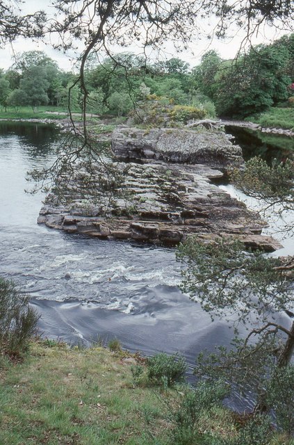
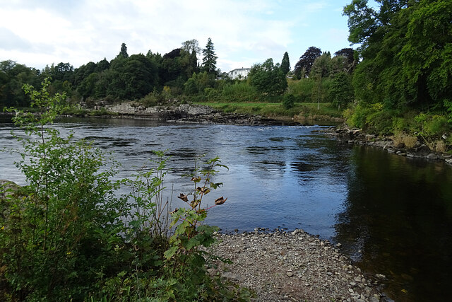
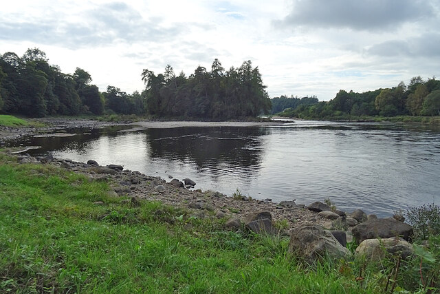
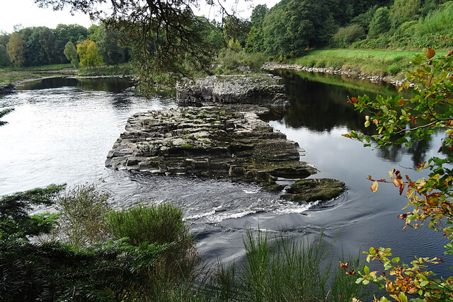
Stobhall Wood is a picturesque woodland located in Perthshire, Scotland. Covering an area of approximately 200 acres, the forest is known for its diverse range of tree species, including oak, birch, and beech trees. The wood is a popular destination for nature lovers and hikers, offering a network of well-maintained trails that wind through the lush greenery.
Stobhall Wood is home to a variety of wildlife, including deer, red squirrels, and a wide array of bird species. Birdwatchers often flock to the forest to catch a glimpse of rare species such as the capercaillie and the osprey.
The wood has a rich history, with evidence of ancient settlements and archaeological sites scattered throughout the area. Visitors can explore the ruins of old buildings and learn about the people who once inhabited the land.
Overall, Stobhall Wood offers a peaceful and serene escape from the hustle and bustle of everyday life. Whether you're looking to immerse yourself in nature, spot some wildlife, or simply enjoy a leisurely stroll, this enchanting forest has something to offer for everyone.
If you have any feedback on the listing, please let us know in the comments section below.
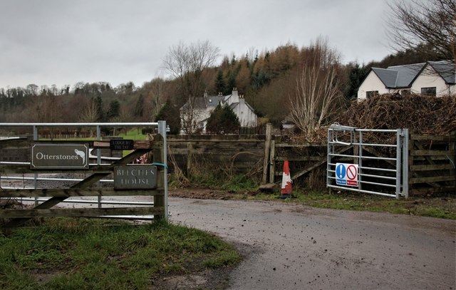
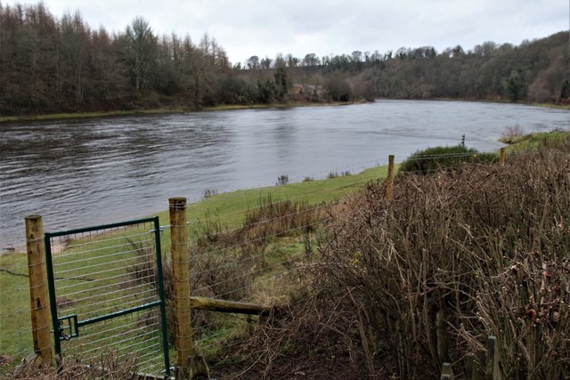
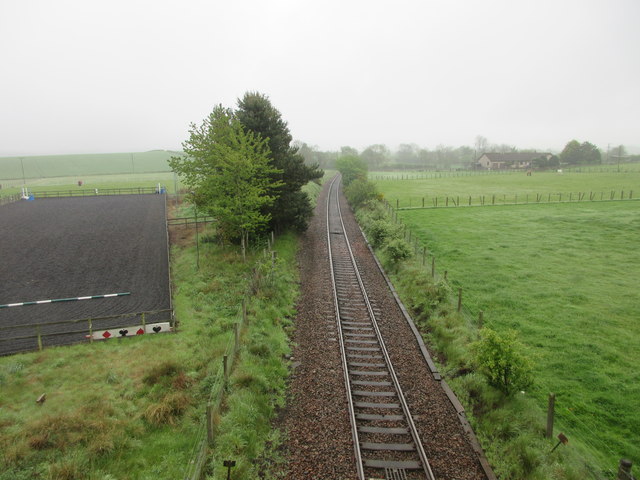
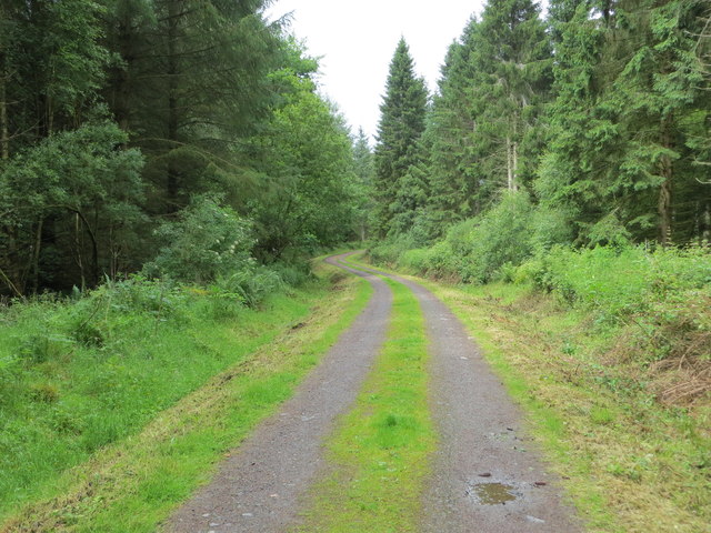
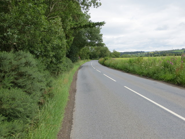
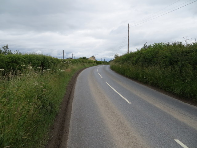
Stobhall Wood Images
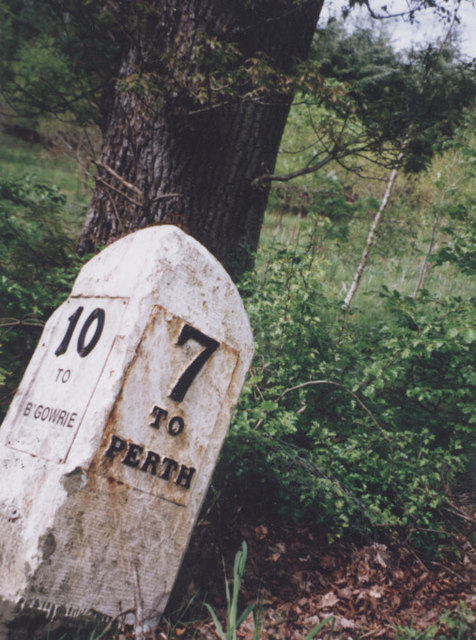
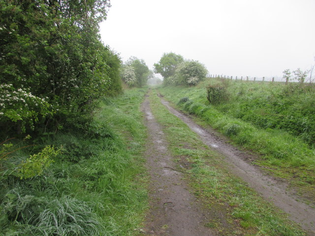
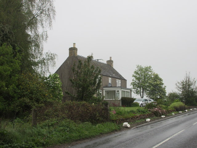
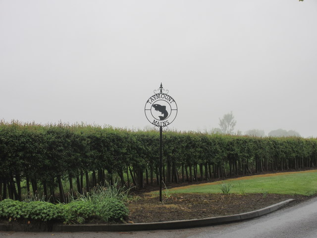
Images are sourced within 2km of 56.490723/-3.4138725 or Grid Reference NO1334. Thanks to Geograph Open Source API. All images are credited.


Stobhall Wood is located at Grid Ref: NO1334 (Lat: 56.490723, Lng: -3.4138725)
Unitary Authority: Perth and Kinross
Police Authority: Tayside
What 3 Words
///isolating.clinic.cautious. Near Stanley, Perth & Kinross
Nearby Locations
Related Wikis
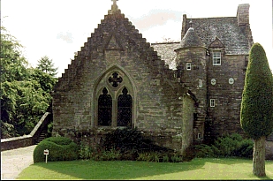
Stobhall
Stobhall (or Stobhall Castle) is a country house and estate in Perthshire in Scotland, 8 miles (13 km) from Perth. The 17th-century dower house and several...

Stanley (SMJR) railway station
Stanley railway station was located in the Scottish village of Stanley, Perthshire and was opened in 1848 and closed in 1857, when the new station of Stanley...

Stanley, Perthshire
Stanley is a village on the north side of the River Tay in Perthshire, Scotland, around 6 miles (10 kilometres) north of Perth. The section of the River...

Guildtown
Guildtown is a village in Perth and Kinross, Scotland, founded in the year 1818 by the Guildry Incorporation of Perth. It is located roughly 6 miles (9...
Nearby Amenities
Located within 500m of 56.490723,-3.4138725Have you been to Stobhall Wood?
Leave your review of Stobhall Wood below (or comments, questions and feedback).