Stobs Cross
Heritage Site in Northumberland
England
Stobs Cross

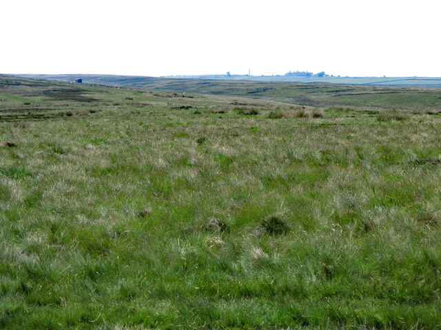
Stobs Cross is a small village located in Northumberland, England, known for its historical significance and preservation of heritage sites. Situated in the picturesque countryside, the village is surrounded by rolling hills and boasts a tranquil atmosphere.
One of the notable features of Stobs Cross is the presence of several ancient burial mounds, indicating the area's long-standing occupation by early settlers. These mounds serve as a reminder of the village's rich history and provide valuable insights into the lives of its ancient inhabitants.
In addition to the burial mounds, Stobs Cross is home to the ruins of a medieval church. The church, built in the 12th century, was once a place of worship for the local community. Although now in a state of disrepair, the remains of the church still stand as a testament to the village's past and offer visitors an opportunity to explore its architectural heritage.
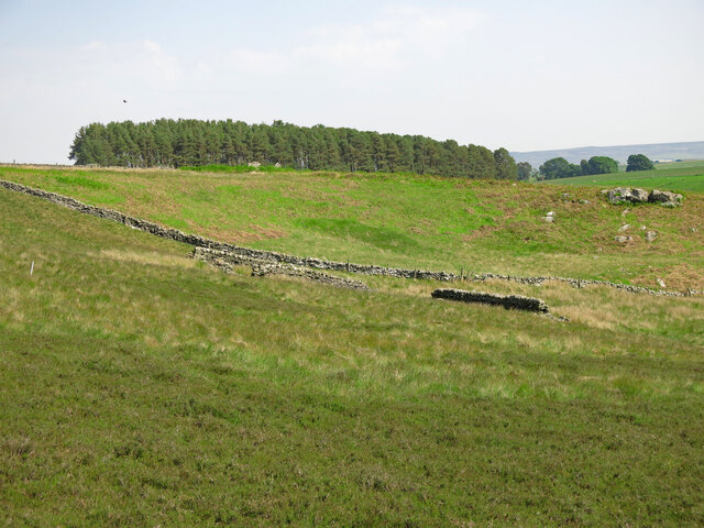
Furthermore, Stobs Cross is renowned for its well-preserved dry-stone walls, a traditional method of construction using locally sourced stones. These walls not only enhance the village's aesthetic appeal but also contribute to its historical character, reflecting the craftsmanship and techniques employed by past generations.
Visitors to Stobs Cross can enjoy the scenic beauty of the surrounding countryside, take leisurely walks along the numerous footpaths, and immerse themselves in the village's fascinating history. The quiet and unspoiled nature of Stobs Cross, combined with its historical and architectural significance, make it an attractive destination for those seeking to connect with the past and appreciate the beauty of rural England.
If you have any feedback on the listing, please let us know in the comments section below.
Stobs Cross Images
Images are sourced within 2km of 54.92/-2.21 or Grid Reference NY8658. Thanks to Geograph Open Source API. All images are credited.
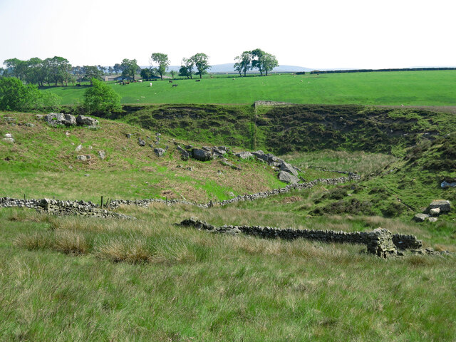
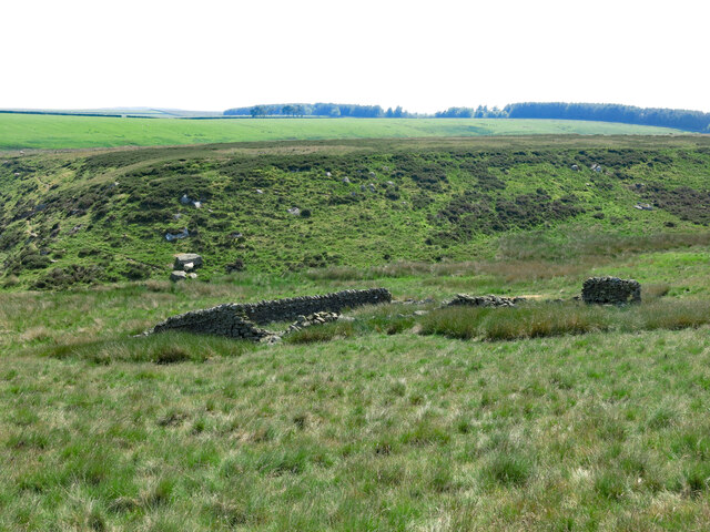

![The scant remains of Hall Shield In his superb book &quot;The Making of the Hexhamshire Landscape&quot; [ISBN 978 0 9565078 8 4] Greg Finch says that &quot;the ruined walls of Hall Shield, possibly an ancient shieling ground, have the neat masonry and wall dimensions of late 18th C or early 19th C rebuilding&quot;.](https://s3.geograph.org.uk/geophotos/07/54/62/7546267_a236201d.jpg)


Stobs Cross is located at Grid Ref: NY8658 (Lat: 54.92, Lng: -2.21)
Unitary Authority: Northumberland
Police Authority: Northumbria
What 3 Words
///jars.goad.differ. Near Haydon Bridge, Northumberland
Nearby Locations
Related Wikis

Allendale railway station
Allendale railway station was the terminus of the single track branch of the Hexham and Allendale Railway, in north east England. The line connected villages...

Allendale Co-operative Society
Allendale Co-operative Society is a small consumer co-operative in the village of Allendale, Northumberland, England. Founded in 1874 as the Allendale...

Museum of Classic Sci-Fi
The Museum of Classic Sci-Fi is in Allendale, Northumberland in England. The museum opened in 2018 and houses a collection of more than 200 props, costumes...

Allendale, Northumberland
Allendale, often marked on maps as Allendale Town, is a village and civil parish in south west Northumberland, England. It is located within the North...
Nearby Amenities
Located within 500m of 54.92,-2.21Have you been to Stobs Cross?
Leave your review of Stobs Cross below (or comments, questions and feedback).