St Piran's Round

Heritage Site in Cornwall

England

St Piran's Round

Perranporth beach, 1 Overall view from the south side of the bay.
Perranporth beach, 1 Credit: Jonathan Billinger

St Piran's Round, located in Cornwall, England, is a prominent heritage site known for its historical significance and cultural value. The round, also referred to as a "fogou," is an underground structure believed to date back to the Iron Age. It is located near the village of Perranporth, close to the rugged coastline of the Atlantic Ocean.

The round is named after St Piran, the patron saint of tin miners in Cornwall. It consists of a subterranean passageway that measures around 10 meters in length, leading to a circular chamber. The structure is primarily constructed using large stones and earth, and its purpose still remains a mystery, although some theories suggest it may have been used for storage, shelter, or religious practices.

The round was discovered in 1790 when a local farmer accidentally stumbled upon it while digging. Since then, it has been a site of great archaeological interest and attracts numerous visitors each year. The round is protected as a scheduled monument under the Ancient Monuments and Archaeological Areas Act 1979.

Visitors to St Piran's Round can explore the underground passage and chamber, marveling at the ancient construction techniques and the sense of history that surrounds them. The site provides a unique opportunity to experience the mysteries of the past and gain a deeper understanding of the Iron Age civilization that once thrived in Cornwall.

St Piran's Round is an important part of Cornwall's cultural heritage and serves as a reminder of the region's rich history and the ingenuity of its ancient inhabitants.

If you have any feedback on the listing, please let us know in the comments section below.

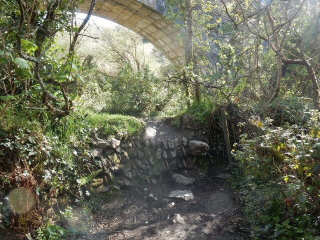
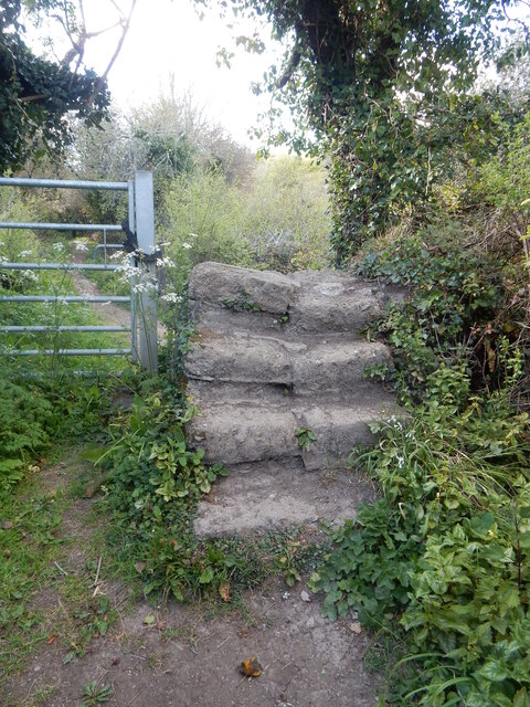
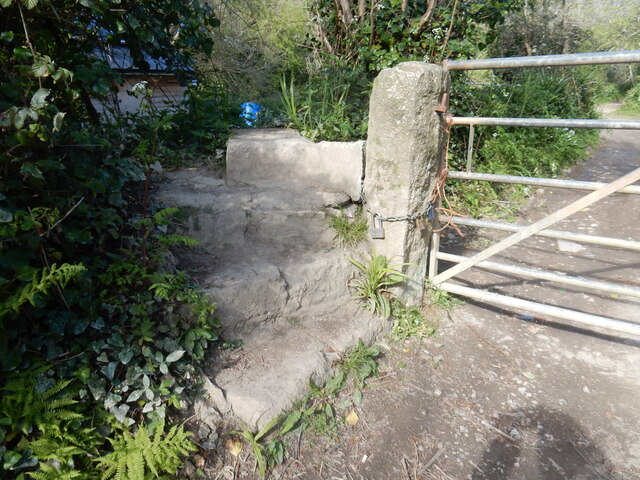
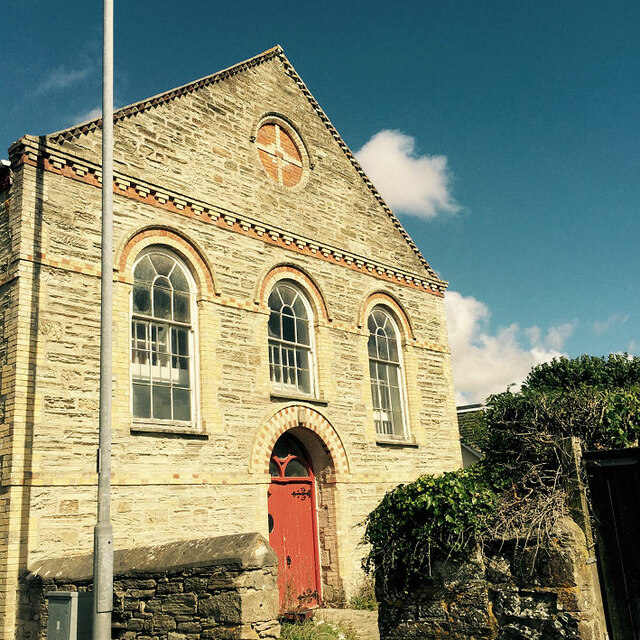
St Piran's Round Images

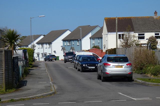
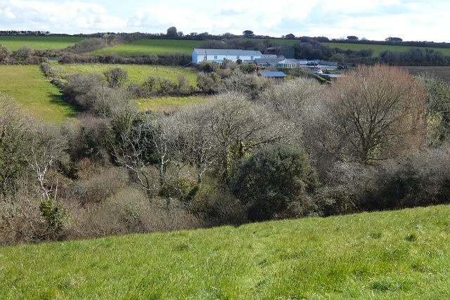
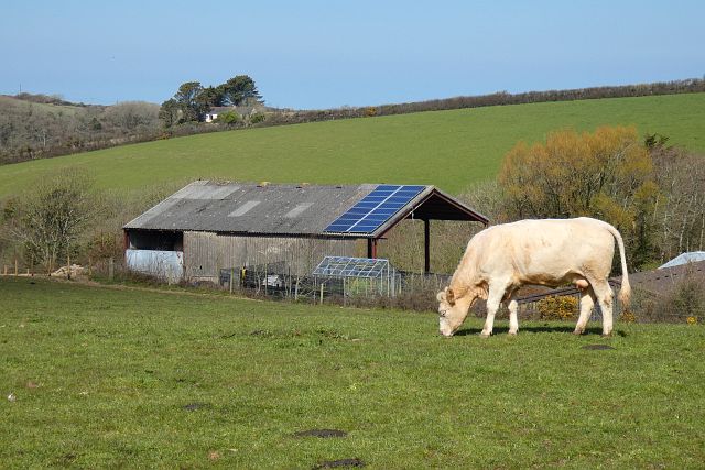
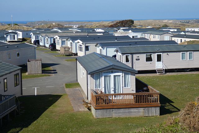
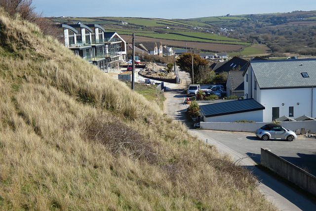
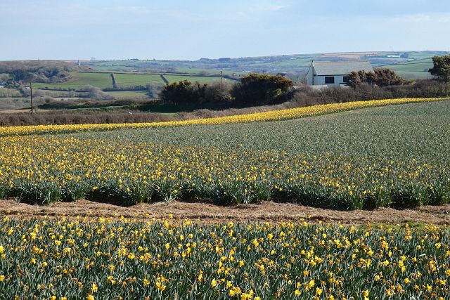
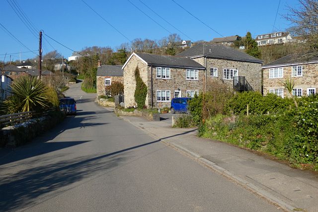
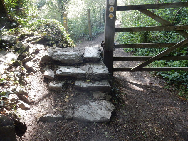
Images are sourced within 2km of 50.348/-5.128 or Grid Reference SW7754. Thanks to Geograph Open Source API. All images are credited.

Perranporth beach, 1 Overall view from the south side of the bay.
Perranporth beach, 1
Overall view from the south side of the bay.
Pollard's Close, Goonhavern, Perranzabuloe The more modern houses ahead are on Marshfield Close.
Pollard's Close, Goonhavern, Perranzabuloe
The more modern houses ahead are on Marshfield Close.
Pastures, Perranzabuloe A footpath descends into the wooded valley at Wheal Hope.
Pastures, Perranzabuloe
A footpath descends into the wooded valley at Wheal Hope.
Pasture, Perranzabuloe Looking across the shallow valley below Hendra Farm.
Pasture, Perranzabuloe
Looking across the shallow valley below Hendra Farm.
Holiday chalets, Perranzabuloe The southern edge of Perran Sands Holiday Centre.
Holiday chalets, Perranzabuloe
The southern edge of Perran Sands Holiday Centre.
Ramoth Way, Perranporth, Perranzabuloe This private road has seen a lot of recent development and redevelopment including the replacement of a single house with three 3-storey ones seen on the left.
Ramoth Way, Perranporth, Perranzabuloe
This private road has seen a lot of recent development and redevelopment including the replacement of a single house with three 3-storey ones seen on the left.
Farmland, Perranzabuloe Daffodils to the west of Reen Cross.
Farmland, Perranzabuloe
Daffodils to the west of Reen Cross.
Mill Road, Bolingey, Perranzabuloe Bolingey is close to, but retains a serparate identity from, the neighbouring Perranporth.
Mill Road, Bolingey, Perranzabuloe
Bolingey is close to, but retains a serparate identity from, the neighbouring Perranporth.
Stone Stile SW7752a Calley Lane 
Four wide steps in both directions.
Public footpath 314/55/1 from Bolingey (end of Quarry Road) to Perranwell.
Stone Stile SW7752a
Calley Lane Four wide steps in both directions. Public footpath 314/55/1 from Bolingey (end of Quarry Road) to Perranwell.
Stone Stile SW7752b Under the disused viaduct on the Perranporth to Newquay branch line.
Protruding stones (sheep stile?) on north side. Level with surroundings on south side.
Public footpath 315/55/1 gold from Calley lane across to a footpath from Perranwell towards Cocks.
Stone Stile SW7752b
Under the disused viaduct on the Perranporth to Newquay branch line. Protruding stones (sheep stile?) on north side. Level with surroundings on south side. Public footpath 315/55/1 gold from Calley lane across to a footpath from Perranwell towards Cocks.
Stone Stile SW7752d Along the path from Perranwell to Cocks.
Four wide steps on each side.
Public footpath 314/53/1 (gold) from Perranwell to Cocks.
Stone Stile SW7752d
Along the path from Perranwell to Cocks. Four wide steps on each side. Public footpath 314/53/1 (gold) from Perranwell to Cocks.
Stone Stile SW7752e Along the path from Perranwell to Cocks.
Three steps in a turn of about 90 degrees on each side with a flat slab top.
Public footpath 314/53/1 (gold) from Perranwell to Cocks.
Stone Stile SW7752e
Along the path from Perranwell to Cocks. Three steps in a turn of about 90 degrees on each side with a flat slab top. Public footpath 314/53/1 (gold) from Perranwell to Cocks.
Bible Christian Chapel
Christ the King Catholic Church
Perranporth Methodist Church
Former Wesleyan chapel
Rose Methodist Church
Farmland, Perranzabuloe Goonhavern is seen over cauliflowers from a byway to the south of Rose.
Farmland, Perranzabuloe
Goonhavern is seen over cauliflowers from a byway to the south of Rose.
Show me another place!

St Piran's Round is located at Grid Ref: SW7754 (Lat: 50.348, Lng: -5.128)

Unitary Authority: Cornwall

Police Authority: Devon and Cornwall

What 3 Words

///averages.firepower.gaps. Near Perranporth, Cornwall

Related Wikis

Perran Round

Perran Round (also known as St Piran's Round) is an amphitheatre in the hamlet of Rose, midway between the villages of Goonhavern and Perranporth, Cornwall...

Rose, Cornwall

Rose (Cornish: Ros) is a hamlet in mid-Cornwall, UK. Rose is to the north-west of Goonhavern and east of Perranporth.Between Rose and Lower Rose is St...

Reen Manor

Reen Manor is a hamlet east of Perranporth in Cornwall, England. == References ==

Lower Rose

Lower Rose is a hamlet in the parish of Perranzabuloe (where the population at the 2011 census was included.), Cornwall, England, UK. Lower Rose is approximately...

Nearby Amenities

Located within 500m of 50.348,-5.128
Bus Stop
Rose Crossroads
Naptan AtcoCode: 0800COC31648
Naptan Bearing: SE
Naptan CommonName: Rose Crossroads
Naptan NaptanCode: coratapj
Naptan Street: B3285
Naptan Verified: no
Source: naptan_import
Lat/Long: 50.3481397/-5.1253081
Bus Stop
Rose Cross Roads
Naptan AtcoCode: 0800FWV38487
Naptan Bearing: W
Naptan CommonName: Rose Cross Roads
Naptan Indicator: Opp
Naptan NaptanCode: coratajw
Naptan Street: B3285
Naptan Verified: no
Source: naptan_import
Lat/Long: 50.3480534/-5.1261741
Bus Stop
Rose Crossroads
Bench: no
Bin: no
Naptan AtcoCode: 0800FWW38557
Naptan Bearing: NW
Naptan CommonName: Rose Crossroads
Naptan Indicator: Opp
Naptan NaptanCode: coratagw
Naptan Street: B3285
Naptan Verified: no
Shelter: no
Source: naptan_import
Tactile Paving: no
Lat/Long: 50.3483215/-5.1269087
Bus Stop
Rose Crossroads
Naptan AtcoCode: 0800FWX38467
Naptan Bearing: NW
Naptan CommonName: Rose Crossroads
Naptan NaptanCode: coratapd
Naptan Street: B3285
Naptan Verified: no
Source: naptan_import
Lat/Long: 50.348057/-5.125373
Kerb: no
Lat/Long: 50.350096/-5.1331592
Rose
Is In Country: England
Is In Country Code: GB
Is In County: Cornwall
Name Kw: Ros
Place: hamlet
Source: npe
Wikidata: Q7367603
Lat/Long: 50.3511802/-5.1275166
Post Box
Brand: Royal Mail
Brand Wikidata: Q638098
Collection Times: Mo-Fr 09:00; Sa 07:00; Su off
Drive Through: no
Operator: Royal Mail
Operator Wikidata: Q638098
Post Box Mounting: stone_wall
Post Box Type: wall
Ref: TR4 37D
Royal Cypher: GR
Royal Cypher Wikidata: Q33102273
Source: survey;aerial imagery
Lat/Long: 50.3504601/-5.1265416
Perran Round
Archaeological Site: amphitheatre
Description: A plen an gwary, a Cornish medieval amphitheatre
Historic: archaeological_site
Historic Civilization: medieval
Website: http://stpiran.org/sites/perran-round/
Wikidata: Q13422500
Wikipedia: en:Perran Round
Lat/Long: 50.348221/-5.1233608
Booth: K6
Removed Amenity: telephone
Lat/Long: 50.3518282/-5.1272419
Generator Method: photovoltaic
Generator Output Electricity: yes
Generator Source: solar
Generator Type: solar_photovoltaic_panel
Power: generator
Lat/Long: 50.3524864/-5.1279221
The data included in this document is from www.openstreetmap.org. The data is made available under ODbL.

Have you been to St Piran's Round?

Leave your review of St Piran's Round below (or comments, questions and feedback).