Higher Reen

Settlement in Cornwall

England

Higher Reen

Pollard's Close, Goonhavern, Perranzabuloe The more modern houses ahead are on Marshfield Close.
Pollard's Close, Goonhavern, Perranzabuloe Credit: Andrew Smith

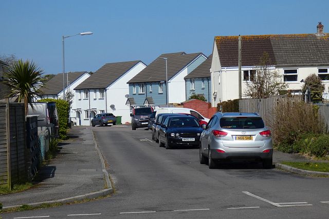
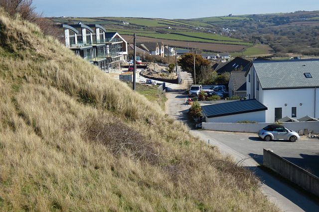
Higher Reen is a small village located in Cornwall, a county in the southwestern part of England. Situated near the town of Truro, Higher Reen is known for its picturesque landscapes, charming cottages, and rich history.

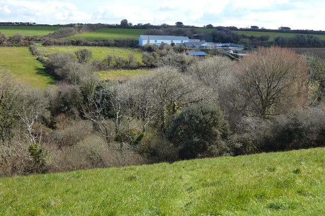
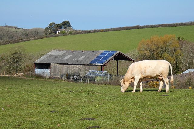
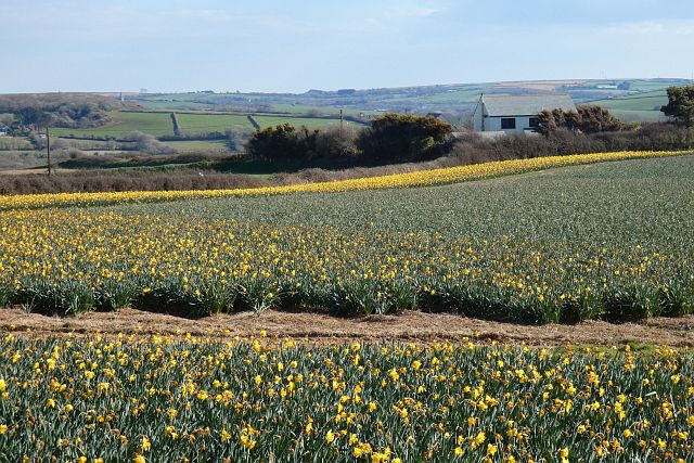
The village is nestled amidst rolling hills and lush greenery, providing a serene and peaceful atmosphere for its residents and visitors. It is surrounded by a combination of agricultural fields, idyllic countryside, and pockets of woodland, creating a diverse and visually appealing environment.

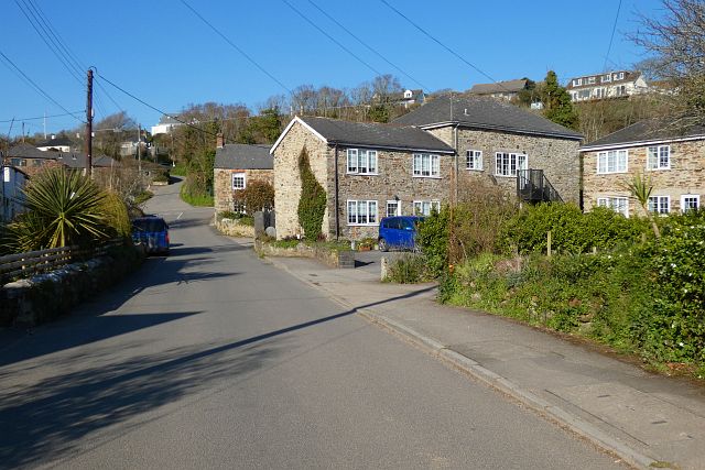
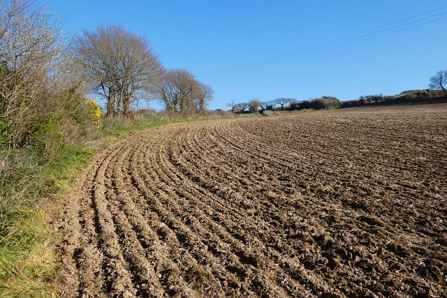
Higher Reen is home to a tight-knit community, with a small population that is predominantly engaged in agricultural activities. The village is characterized by its traditional stone cottages, some of which date back several centuries. These quaint houses, adorned with colorful gardens and well-maintained yards, add to the village's charm and make it a popular destination for those seeking a taste of rural life.

Local amenities in Higher Reen include a village hall, a small church, and a handful of local businesses catering to the needs of residents. The village also benefits from its close proximity to Truro, which offers a wider range of services, shops, and entertainment options.

For outdoor enthusiasts, Higher Reen provides ample opportunities for exploring the countryside. The village is surrounded by scenic walking trails, offering breathtaking views of the rolling hills and the nearby River Fal.

Overall, Higher Reen is a peaceful and picturesque village in Cornwall, offering a tranquil escape from the hustle and bustle of city life.

If you have any feedback on the listing, please let us know in the comments section below.
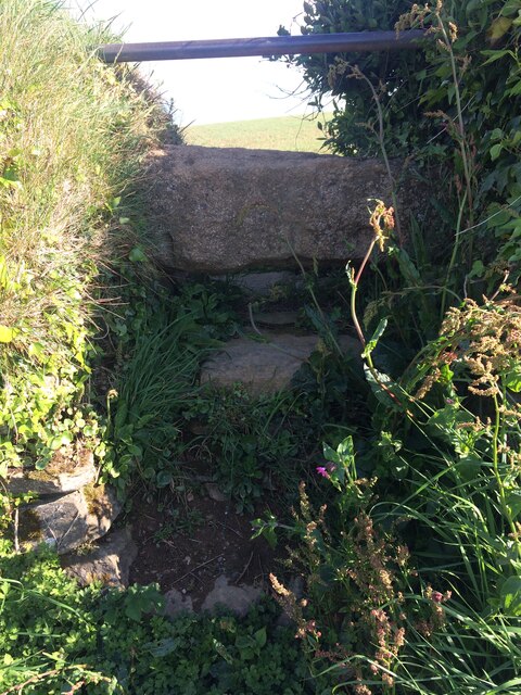
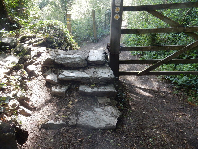
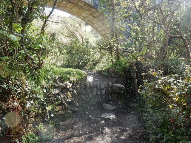
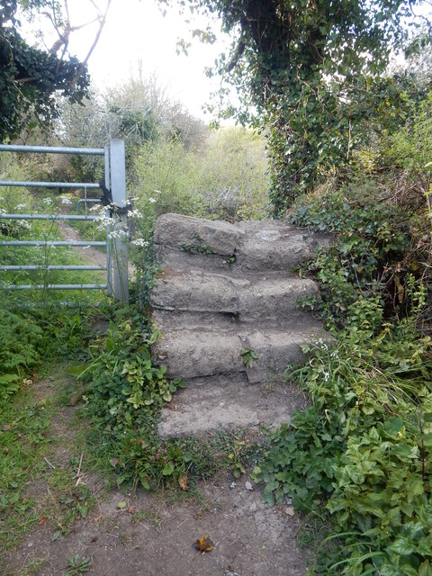
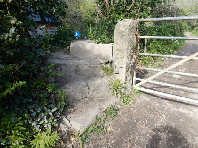
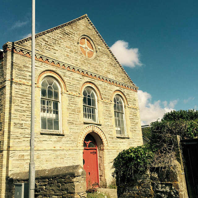
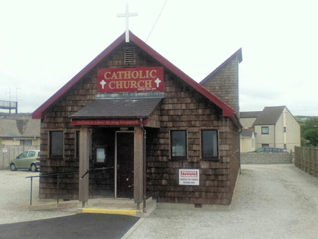
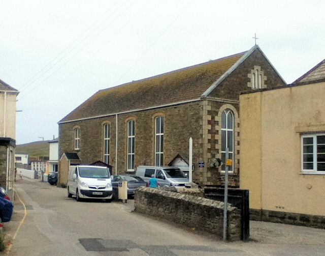
Higher Reen Images

Images are sourced within 2km of 50.34446/-5.1315325 or Grid Reference SW7754. Thanks to Geograph Open Source API. All images are credited.

Pollard's Close, Goonhavern, Perranzabuloe The more modern houses ahead are on Marshfield Close.
Pollard's Close, Goonhavern, Perranzabuloe
The more modern houses ahead are on Marshfield Close.
Pastures, Perranzabuloe A footpath descends into the wooded valley at Wheal Hope.
Pastures, Perranzabuloe
A footpath descends into the wooded valley at Wheal Hope.
Pasture, Perranzabuloe Looking across the shallow valley below Hendra Farm.
Pasture, Perranzabuloe
Looking across the shallow valley below Hendra Farm.
Holiday chalets, Perranzabuloe The southern edge of Perran Sands Holiday Centre.
Holiday chalets, Perranzabuloe
The southern edge of Perran Sands Holiday Centre.
Ramoth Way, Perranporth, Perranzabuloe This private road has seen a lot of recent development and redevelopment including the replacement of a single house with three 3-storey ones seen on the left.
Ramoth Way, Perranporth, Perranzabuloe
This private road has seen a lot of recent development and redevelopment including the replacement of a single house with three 3-storey ones seen on the left.
Farmland, Perranzabuloe Daffodils to the west of Reen Cross.
Farmland, Perranzabuloe
Daffodils to the west of Reen Cross.
Mill Road, Bolingey, Perranzabuloe Bolingey is close to, but retains a serparate identity from, the neighbouring Perranporth.
Mill Road, Bolingey, Perranzabuloe
Bolingey is close to, but retains a serparate identity from, the neighbouring Perranporth.
Farmland, Perranzabuloe A footpath follows the edge of the field, climbing away from Trevellance Farm.
Farmland, Perranzabuloe
A footpath follows the edge of the field, climbing away from Trevellance Farm.
Stone Stile SW7652b At field boundary.
Cattle stile.
One of four similar stiles on this footpath, coded SW7652a, b, c, d. A fifth stile was removed some years ago when the deer farm was fenced.
Public footpath 314/23/1 Gold from St Pirans Church to Penwartha.
Stone Stile SW7652b
At field boundary. Cattle stile. One of four similar stiles on this footpath, coded SW7652a, b, c, d. A fifth stile was removed some years ago when the deer farm was fenced. Public footpath 314/23/1 Gold from St Pirans Church to Penwartha.
Stone Stile SW7652f At field boundary, mid-way along the footpath. 
Cattle stile with steel bar above top stone.
Public footpath 314/24/5 gold from St Pirans Church to Penwartha Coombe, exiting between Grignan and Trevellance Cottage.
Stone Stile SW7652f
At field boundary, mid-way along the footpath. Cattle stile with steel bar above top stone. Public footpath 314/24/5 gold from St Pirans Church to Penwartha Coombe, exiting between Grignan and Trevellance Cottage.
Stone Stile SW7752a Calley Lane 
Four wide steps in both directions.
Public footpath 314/55/1 from Bolingey (end of Quarry Road) to Perranwell.
Stone Stile SW7752a
Calley Lane Four wide steps in both directions. Public footpath 314/55/1 from Bolingey (end of Quarry Road) to Perranwell.
Stone Stile SW7752b Under the disused viaduct on the Perranporth to Newquay branch line.
Protruding stones (sheep stile?) on north side. Level with surroundings on south side.
Public footpath 315/55/1 gold from Calley lane across to a footpath from Perranwell towards Cocks.
Stone Stile SW7752b
Under the disused viaduct on the Perranporth to Newquay branch line. Protruding stones (sheep stile?) on north side. Level with surroundings on south side. Public footpath 315/55/1 gold from Calley lane across to a footpath from Perranwell towards Cocks.
Stone Stile SW7752d Along the path from Perranwell to Cocks.
Four wide steps on each side.
Public footpath 314/53/1 (gold) from Perranwell to Cocks.
Stone Stile SW7752d
Along the path from Perranwell to Cocks. Four wide steps on each side. Public footpath 314/53/1 (gold) from Perranwell to Cocks.
Stone Stile SW7752e Along the path from Perranwell to Cocks.
Three steps in a turn of about 90 degrees on each side with a flat slab top.
Public footpath 314/53/1 (gold) from Perranwell to Cocks.
Stone Stile SW7752e
Along the path from Perranwell to Cocks. Three steps in a turn of about 90 degrees on each side with a flat slab top. Public footpath 314/53/1 (gold) from Perranwell to Cocks.
Bible Christian Chapel
Christ the King Catholic Church
Perranporth Methodist Church
Chapel Rock
Chapel Rock
Show me another place!

Higher Reen is located at Grid Ref: SW7754 (Lat: 50.34446, Lng: -5.1315325)

Unitary Authority: Cornwall

Police Authority: Devon and Cornwall

What 3 Words

///sandpaper.suspends.puddings. Near Perranporth, Cornwall

Related Wikis

Reen Manor

Reen Manor is a hamlet east of Perranporth in Cornwall, England. == References ==

Perran Round

Perran Round (also known as St Piran's Round) is an amphitheatre in the hamlet of Rose, midway between the villages of Goonhavern and Perranporth, Cornwall...

Rose, Cornwall

Rose (Cornish: Ros) is a hamlet in mid-Cornwall, UK. Rose is to the north-west of Goonhavern and east of Perranporth. Between Rose and Lower Rose is St...

Lower Rose

Lower Rose is a hamlet in the parish of Perranzabuloe (where the population at the 2011 census was included.), Cornwall, England, UK. Lower Rose is approximately...

Nearby Amenities

Located within 500m of 50.34446,-5.1315325
Higher Reen
Is In Country: England
Is In Country Code: GB
Is In County: Cornwall
Place: hamlet
Source: OS_OpenData_StreetView
Lat/Long: 50.3435834/-5.1315152
Gwendolyn
Tourism: chalet
Lat/Long: 50.343635/-5.132293
Post Box
Collection Times: Mo-Fr 09:00; Sa 07:00; Su off
Note: Lamp box design post box embedded into a stone wall
Operator: Royal Mail
Operator Wikidata: Q638098
Post Box Mounting: stone_wall
Post Box Type: lamp
Ref: TR6 143D
Royal Cypher: EIIR
Royal Cypher Wikidata: Q33102113
Source: survey;aerial imagery
Lat/Long: 50.3464658/-5.1353857
The data included in this document is from www.openstreetmap.org. The data is made available under ODbL.

Have you been to Higher Reen?

Leave your review of Higher Reen below (or comments, questions and feedback).