St Radigund's Abbey

Heritage Site in Kent Dover

England

St Radigund's Abbey

Track up Long Hill
Track up Long Hill Credit: N Chadwick

St Radigund's Abbey, located in the county of Kent, England, is a significant heritage site that holds a rich history dating back to the 12th century. Originally founded as a Benedictine nunnery, the abbey was dedicated to Saint Radegund, a Frankish queen and saint.

The abbey's architecture is an exquisite example of the Romanesque style, with its sturdy walls and rounded arches. The complex includes a church, cloisters, and various living quarters for the nuns. The church, with its impressive stained glass windows and intricate stone carvings, showcases the artistic prowess of the time.

Throughout its existence, St Radigund's Abbey played a pivotal role in the local community. It served as a place of worship, education, and refuge for the nuns. The abbey also provided medical care to the sick and needy, and its gardens supplied fresh produce to sustain the community.

During the Dissolution of the Monasteries in the 16th century, St Radigund's Abbey fell into disrepair and was eventually abandoned. Today, only ruins remain of the once thriving abbey. The site is managed by English Heritage and is open to the public, attracting visitors interested in exploring its historical significance.

Visitors to St Radigund's Abbey can wander through the atmospheric ruins, imagining the lives of the nuns who once resided there. The surrounding landscape offers a picturesque backdrop, enhancing the experience of stepping back in time. The abbey's historical value, combined with its architectural beauty, makes it a noteworthy attraction for both locals and tourists alike.

If you have any feedback on the listing, please let us know in the comments section below.

St Radigund's Abbey Images

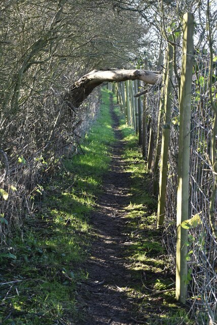
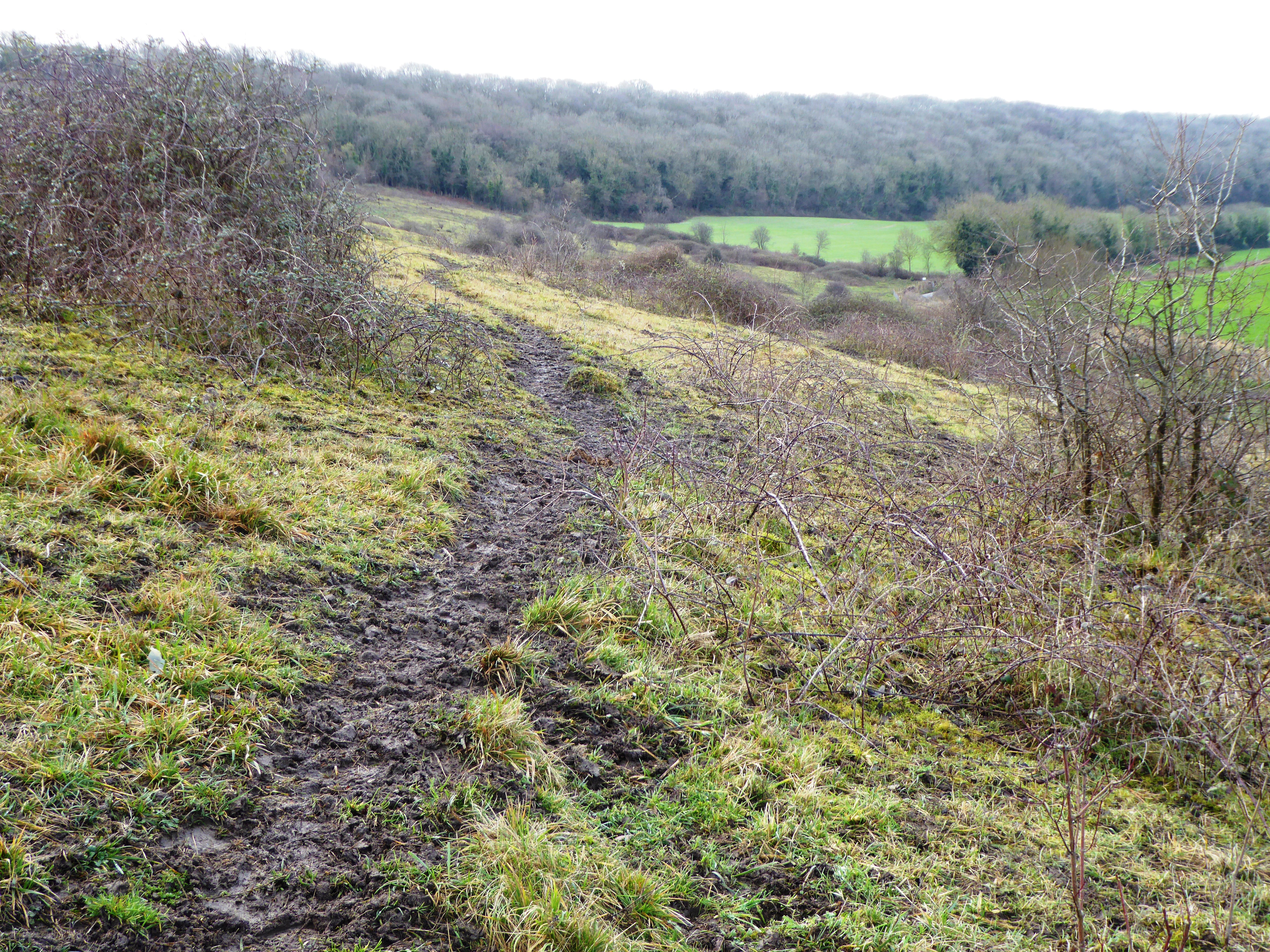
Images are sourced within 2km of 51.127/1.252 or Grid Reference TR2741. Thanks to Geograph Open Source API. All images are credited.

Track up Long Hill
Track up Long Hill
Dover Transmitting Station The Dover transmitting station is a facility for broadcasting and telecommunications, located at West Hougham, near Dover. It has a 243.2 metres (798 ft) high guyed steel lattice mast.
Wikipedia: <span class="nowrap"><a title="https://en.wikipedia.org/wiki/Dover_transmitting_station" rel="nofollow ugc noopener" href="https://en.wikipedia.org/wiki/Dover_transmitting_station">Link</a><img style="margin-left:2px;" alt="External link" title="External link - shift click to open in new window" src="https://s1.geograph.org.uk/img/external.png" width="10" height="10"/></span>
Dover Transmitting Station
The Dover transmitting station is a facility for broadcasting and telecommunications, located at West Hougham, near Dover. It has a 243.2 metres (798 ft) high guyed steel lattice mast. Wikipedia: LinkExternal link
Victorian postbox In the British Isles the first pillar post boxes were erected in Jersey in 1852. Roadside wall boxes first appeared in 1857 as a cheaper alternative to pillar boxes, especially in rural districts. In 1853 the first pillar box in Britain was installed at Botchergate, Carlisle. In 1856 Richard Redgrave of the Department of Science and Art designed an ornate pillar box for use in London and other large cities. In 1859 the design was improved, and this became the first National Standard pillar box. Green was adopted as the standard colour for the early Victorian post boxes. Between 1866 and 1879 the hexagonal Penfold post box became the standard design for pillar boxes and it was during this period that red was first adopted as the standard colour. The first boxes to be painted red were in London in July 1874, although it would be nearly 10 years before all the boxes had been repainted.
Victorian postbox
In the British Isles the first pillar post boxes were erected in Jersey in 1852. Roadside wall boxes first appeared in 1857 as a cheaper alternative to pillar boxes, especially in rural districts. In 1853 the first pillar box in Britain was installed at Botchergate, Carlisle. In 1856 Richard Redgrave of the Department of Science and Art designed an ornate pillar box for use in London and other large cities. In 1859 the design was improved, and this became the first National Standard pillar box. Green was adopted as the standard colour for the early Victorian post boxes. Between 1866 and 1879 the hexagonal Penfold post box became the standard design for pillar boxes and it was during this period that red was first adopted as the standard colour. The first boxes to be painted red were in London in July 1874, although it would be nearly 10 years before all the boxes had been repainted.
Church Farmhouse
Church Farmhouse
War Memorial, Church of St Lawrence Grade II listed.
War Memorial, Church of St Lawrence
Grade II listed.
Church of St Lawrence and war memorial Grade I listed. <span class="nowrap"><a title="https://historicengland.org.uk/listing/the-list/list-entry/1070024" rel="nofollow ugc noopener" href="https://historicengland.org.uk/listing/the-list/list-entry/1070024">Link</a><img style="margin-left:2px;" alt="External link" title="External link - shift click to open in new window" src="https://s1.geograph.org.uk/img/external.png" width="10" height="10"/></span> 
<span class="nowrap"><a title="https://www.kentchurches.info/church.asp?p=Hougham" rel="nofollow ugc noopener" href="https://www.kentchurches.info/church.asp?p=Hougham">Link</a><img style="margin-left:2px;" alt="External link" title="External link - shift click to open in new window" src="https://s1.geograph.org.uk/img/external.png" width="10" height="10"/></span>
Church of St Lawrence and war memorial
Grade I listed. LinkExternal link LinkExternal link
Church of St Lawrence Grade I listed. <span class="nowrap"><a title="https://historicengland.org.uk/listing/the-list/list-entry/1070024" rel="nofollow ugc noopener" href="https://historicengland.org.uk/listing/the-list/list-entry/1070024">Link</a><img style="margin-left:2px;" alt="External link" title="External link - shift click to open in new window" src="https://s1.geograph.org.uk/img/external.png" width="10" height="10"/></span> 
<span class="nowrap"><a title="https://www.kentchurches.info/church.asp?p=Hougham" rel="nofollow ugc noopener" href="https://www.kentchurches.info/church.asp?p=Hougham">Link</a><img style="margin-left:2px;" alt="External link" title="External link - shift click to open in new window" src="https://s1.geograph.org.uk/img/external.png" width="10" height="10"/></span>
Church of St Lawrence
Grade I listed. LinkExternal link LinkExternal link
Church of St Lawrence Grade I listed buildings and structures are of exceptional, even international importance. There are over 6,000 in the country. Only 2.5% of listed buildings are Grade I listed.
In Scotland the classification is Category A
Index: <span class="nowrap"><a title="http://en.wikipedia.org/wiki/Category:Grade_I_listed_buildings" rel="nofollow ugc noopener" href="http://en.wikipedia.org/wiki/Category:Grade_I_listed_buildings">Link</a><img style="margin-left:2px;" alt="External link" title="External link - shift click to open in new window" src="https://s1.geograph.org.uk/img/external.png" width="10" height="10"/></span>
Church of St Lawrence
Grade I listed buildings and structures are of exceptional, even international importance. There are over 6,000 in the country. Only 2.5% of listed buildings are Grade I listed. In Scotland the classification is Category A Index: LinkExternal link
Dover Transmitting Station The Dover transmitting station is a facility for broadcasting and telecommunications, located at West Hougham, near Dover. It has a 243.2 metres (798 ft) high guyed steel lattice mast.
Wikipedia: <span class="nowrap"><a title="https://en.wikipedia.org/wiki/Dover_transmitting_station" rel="nofollow ugc noopener" href="https://en.wikipedia.org/wiki/Dover_transmitting_station">Link</a><img style="margin-left:2px;" alt="External link" title="External link - shift click to open in new window" src="https://s1.geograph.org.uk/img/external.png" width="10" height="10"/></span>
Dover Transmitting Station
The Dover transmitting station is a facility for broadcasting and telecommunications, located at West Hougham, near Dover. It has a 243.2 metres (798 ft) high guyed steel lattice mast. Wikipedia: LinkExternal link
Church of St Lawrence Grade I listed. <span class="nowrap"><a title="https://historicengland.org.uk/listing/the-list/list-entry/1070024" rel="nofollow ugc noopener" href="https://historicengland.org.uk/listing/the-list/list-entry/1070024">Link</a><img style="margin-left:2px;" alt="External link" title="External link - shift click to open in new window" src="https://s1.geograph.org.uk/img/external.png" width="10" height="10"/></span> 
<span class="nowrap"><a title="https://www.kentchurches.info/church.asp?p=Hougham" rel="nofollow ugc noopener" href="https://www.kentchurches.info/church.asp?p=Hougham">Link</a><img style="margin-left:2px;" alt="External link" title="External link - shift click to open in new window" src="https://s1.geograph.org.uk/img/external.png" width="10" height="10"/></span>
Church of St Lawrence
Grade I listed. LinkExternal link LinkExternal link
Narrow, enclosed footpath
Dover Transmitting Station The Dover transmitting station is a facility for broadcasting and telecommunications, located at West Hougham, near Dover. It has a 243.2 metres (798 ft) high guyed steel lattice mast.
Wikipedia: <span class="nowrap"><a title="https://en.wikipedia.org/wiki/Dover_transmitting_station" rel="nofollow ugc noopener" href="https://en.wikipedia.org/wiki/Dover_transmitting_station">Link</a><img style="margin-left:2px;" alt="External link" title="External link - shift click to open in new window" src="https://s1.geograph.org.uk/img/external.png" width="10" height="10"/></span>
Dover Transmitting Station
The Dover transmitting station is a facility for broadcasting and telecommunications, located at West Hougham, near Dover. It has a 243.2 metres (798 ft) high guyed steel lattice mast. Wikipedia: LinkExternal link
Show me another place!

St Radigund's Abbey is located at Grid Ref: TR2741 (Lat: 51.127, Lng: 1.252)

Administrative County: Kent

District: Dover

Police Authority: Kent

What 3 Words

///armed.chips.window. Near Capel le Ferne, Kent

Related Wikis

St. Radegund's Abbey

St. Radegund's Abbey at Bradsole was a medieval monastic house in the parish of Hougham Without near Dover in southeast England. It was dedicated to Radegund...

Hougham Without

Hougham Without is a civil parish between Dover and Folkestone in southeast England. The main settlements are the villages of Church Hougham and West Hougham...

Nemo Down

Nemo Down is a 21-hectare (50-acre) nature reserve on the western outskirts of Dover in Kent. It was shown as owned and managed by the Kent Wildlife...

Dover transmitting station

The Dover transmitting station is a facility for broadcasting and telecommunications, located at West Hougham, near Dover, Kent (grid reference TR274397...

Nearby Amenities

Located within 500m of 51.127,1.252
Power: tower
Lat/Long: 51.1234066/1.2536407
Power: tower
Lat/Long: 51.1229874/1.251428
Power: tower
Lat/Long: 51.1238639/1.2562716
The data included in this document is from www.openstreetmap.org. The data is made available under ODbL.

Have you been to St Radigund's Abbey?

Leave your review of St Radigund's Abbey below (or comments, questions and feedback).