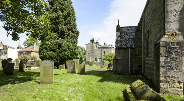
St Lawrence's Chapel
Heritage Site in Durham
England
St Lawrence's Chapel
St. Lawrence's Chapel, located in Durham, England, is an iconic heritage site that holds significant historical and cultural importance. The chapel, also known as the Almshouse Chapel, is situated within the St. John's College campus and dates back to the early 16th century. It was originally built as a place of worship for the Durham almshouses, which provided housing for the poor and elderly.
The chapel's architecture is a striking example of the Perpendicular Gothic style, featuring large windows with intricate tracery and a tall bell tower. The interior showcases beautiful stained glass windows and a wooden roof adorned with decorative carvings. The chapel is well-preserved, allowing visitors to appreciate the craftsmanship and architectural details of the period.
Throughout its history, St. Lawrence's Chapel has served various purposes. In addition to being a place of worship, it has been used as a lecture hall, library, and meeting space for the college. Today, the chapel continues to host religious services, concerts, and other cultural events, contributing to the vibrant atmosphere of the college campus.
Visitors to St. Lawrence's Chapel can explore its rich history and admire its architectural beauty. The tranquil atmosphere and stunning surroundings make it a popular destination for locals and tourists alike. Its close proximity to other historical sites, such as Durham Cathedral and Durham Castle, further adds to its appeal as a must-visit heritage site.
If you have any feedback on the listing, please let us know in the comments section below.
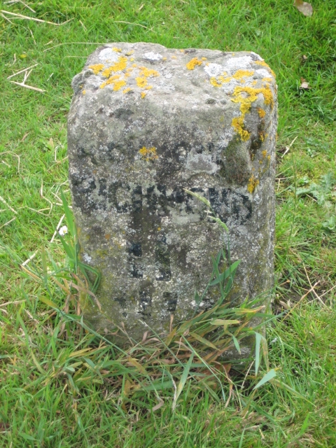
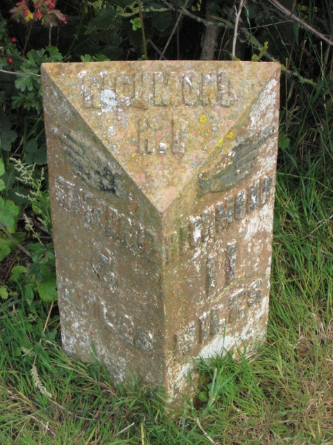
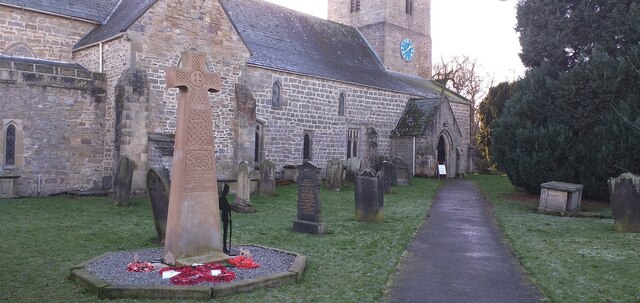
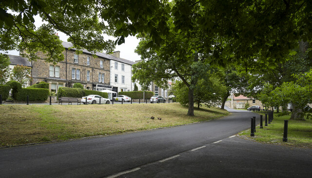
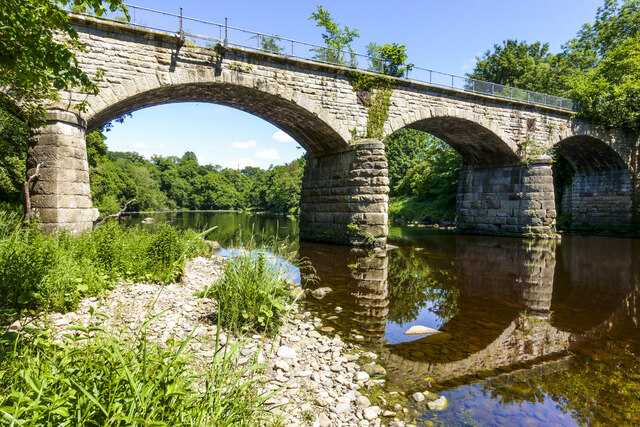
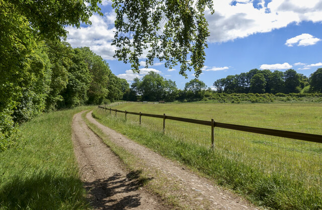
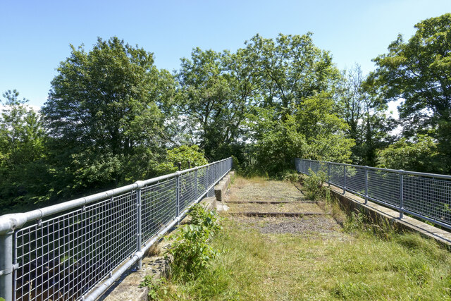
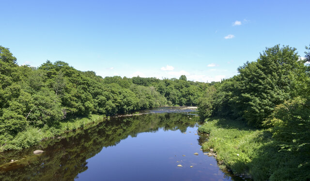
St Lawrence's Chapel Images
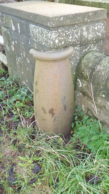
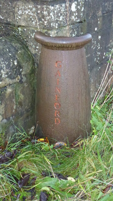
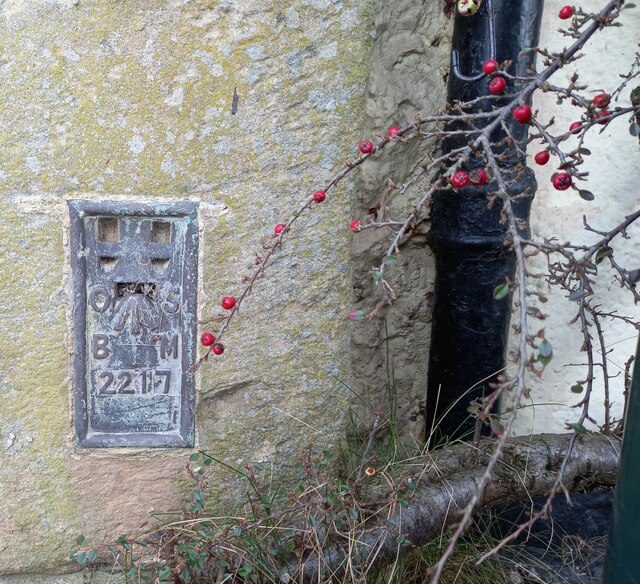
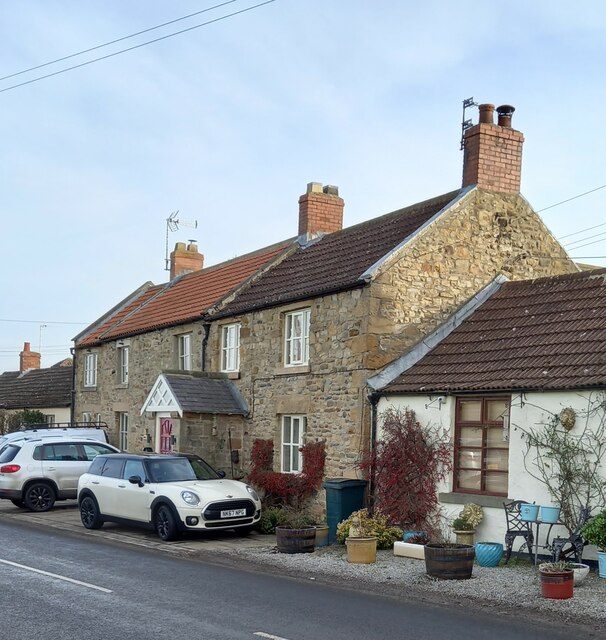
Images are sourced within 2km of 54.5402/-1.7478 or Grid Reference NZ1616. Thanks to Geograph Open Source API. All images are credited.
St Lawrence's Chapel is located at Grid Ref: NZ1616 (Lat: 54.5402, Lng: -1.7478)
Unitary Authority: County Durham
Police Authority: Durham
What 3 Words
///available.finishes.free. Near Gainford, Co. Durham
Nearby Locations
Related Wikis

Barforth
Barforth is a civil parish in the Teesdale district of County Durham, England, near Gainford. According to the 2001 census the parish had a population...
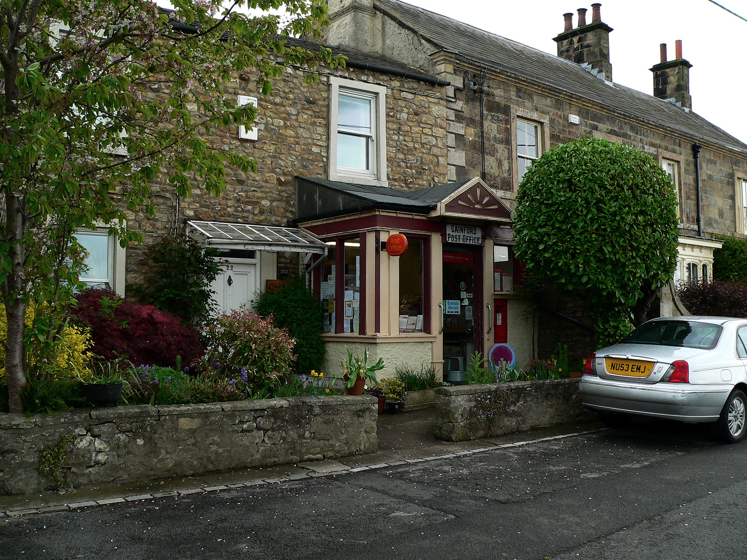
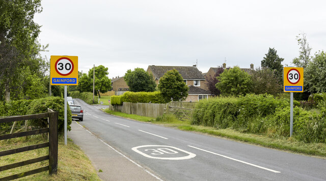
Gainford, County Durham
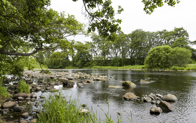
Gainford or Gainford on Tees is a village on the north bank of the River Tees in County Durham, England. It is half-way between Barnard Castle and Darlington...

Gainford Hall
Gainford Hall is a privately owned Jacobean manor house at Gainford, County Durham. It is a Grade I listed building but as of 2014 is registered as a Building...
Gainford railway station
Gainford railway station is a disused station in Gainford, County Durham, North East England, on the Darlington and Barnard Castle Railway. On 24 October...
Have you been to St Lawrence's Chapel?
Leave your review of St Lawrence's Chapel below (or comments, questions and feedback).