Millennium Green
Downs, Moorland in Durham
England
Millennium Green
Millennium Green, located in Durham, is a beautiful and tranquil green space spread across downs and moorland. It was established in the year 2000 to commemorate the turn of the millennium and has since become a popular destination for both locals and tourists alike.
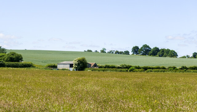
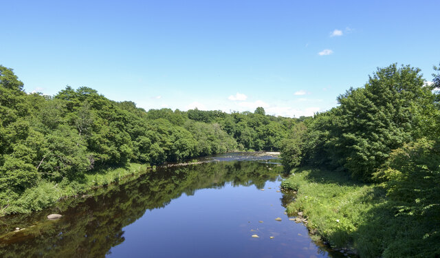
Covering an expansive area, Millennium Green offers a diverse range of landscapes and habitats. The downs, with their gently rolling hills, provide stunning panoramic views of the surrounding countryside. The moorland, on the other hand, offers a rugged and wild beauty, characterized by its heather-covered terrain and scattered rocky outcrops.
The green is home to an abundant variety of flora and fauna. Visitors can spot numerous species of wildflowers, including vibrant purple heather and delicate bluebells, particularly during the spring and summer months. The area is also rich in wildlife, with sightings of birds such as red grouse and curlews, as well as small mammals like rabbits and hares.
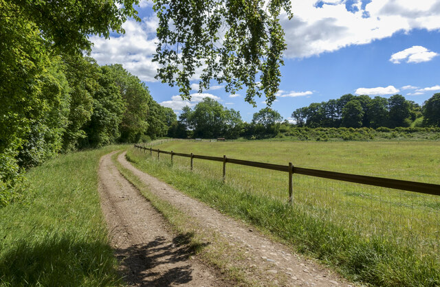
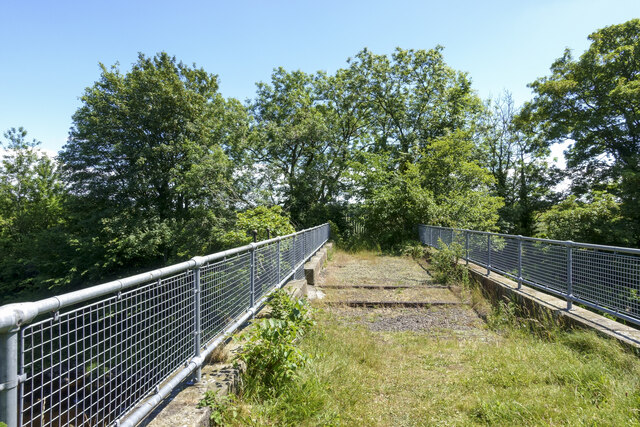
In addition to its natural beauty, Millennium Green offers various amenities for visitors to enjoy. There are well-maintained walking trails that meander through the downs and moorland, allowing visitors to explore the area at their own pace. Picnic areas are scattered throughout the green, providing the perfect spot for a leisurely lunch amidst nature. The green is also equipped with benches and information boards, offering visitors the opportunity to relax and learn more about the local environment.
Overall, Millennium Green is a captivating and serene destination that showcases the stunning natural landscapes of Durham. Whether one wishes to take a leisurely stroll, admire the wildflowers, or simply enjoy the peaceful atmosphere, this green space offers a memorable experience for all who visit.
If you have any feedback on the listing, please let us know in the comments section below.
Millennium Green Images
Images are sourced within 2km of 54.544336/-1.7406511 or Grid Reference NZ1616. Thanks to Geograph Open Source API. All images are credited.


Millennium Green is located at Grid Ref: NZ1616 (Lat: 54.544336, Lng: -1.7406511)
Unitary Authority: County Durham
Police Authority: Durham
What 3 Words
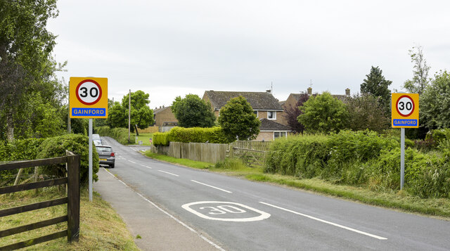
///marine.pulse.extra. Near Gainford, Co. Durham
Nearby Locations
Related Wikis
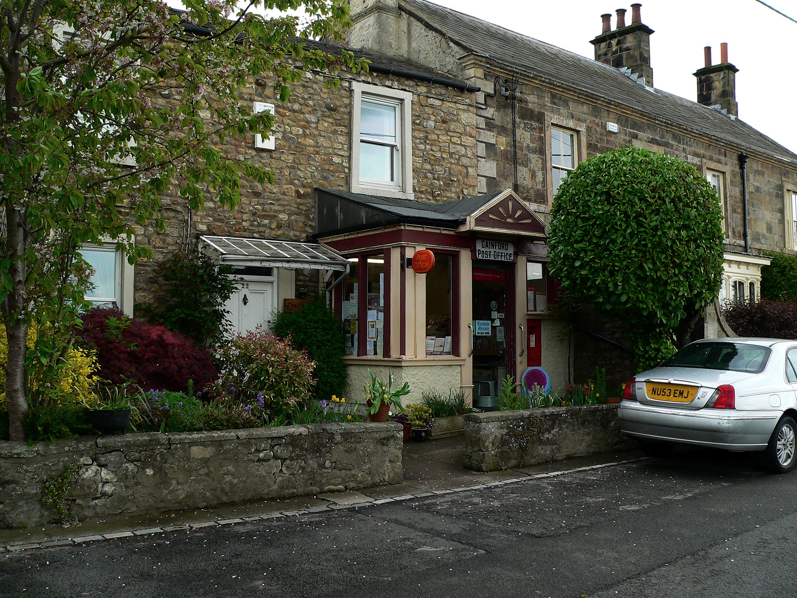
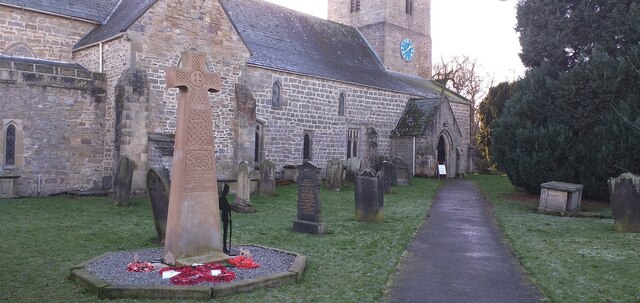
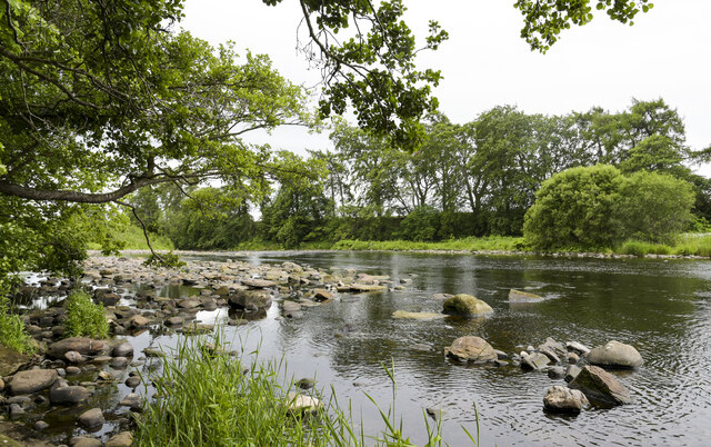
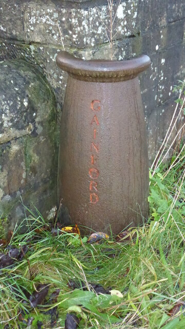
Gainford, County Durham
Gainford or Gainford on Tees is a village on the north bank of the River Tees in County Durham, England. It is half-way between Barnard Castle and Darlington...

Gainford Hall
Gainford Hall is a privately owned Jacobean manor house at Gainford, County Durham. It is a Grade I listed building but as of 2014 is registered as a Building...

Barforth
Barforth is a civil parish in the Teesdale district of County Durham, England, near Gainford. According to the 2001 census the parish had a population...
Gainford railway station
Gainford railway station is a disused station in Gainford, County Durham, North East England, on the Darlington and Barnard Castle Railway. On 24 October...
Nearby Amenities
Located within 500m of 54.544336,-1.7406511Have you been to Millennium Green?
Leave your review of Millennium Green below (or comments, questions and feedback).