St Bride's Chapel

Heritage Site in Perthshire

Scotland

St Bride's Chapel

A84 near Loch Lubnaig
A84 near Loch Lubnaig Credit: Steven Brown

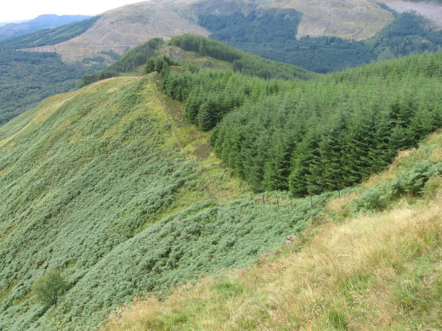
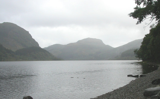
St Bride's Chapel is a medieval ruin located in the county of Perthshire, Scotland. The chapel is believed to have been built in the 16th century and was dedicated to St Bride, a patron saint of poets, healers, and smiths. The chapel is situated in a picturesque setting, surrounded by rolling hills and lush greenery.

The chapel is constructed of local stone and features a simple rectangular layout with a pointed roof and arched windows. Despite its state of disrepair, the chapel still retains much of its original architectural charm and is a popular destination for visitors interested in Scottish history and heritage.

The chapel is steeped in legend and folklore, with stories of miraculous healings and spiritual encounters said to have taken place within its walls. Visitors can explore the chapel grounds and admire the intricate stonework and carvings that adorn the building.

Today, St Bride's Chapel is a protected heritage site under the care of Historic Environment Scotland, ensuring that this historic landmark will be preserved for future generations to enjoy.

If you have any feedback on the listing, please let us know in the comments section below.

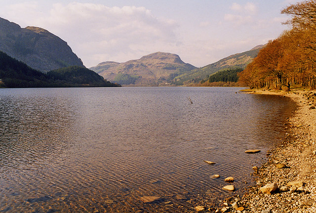
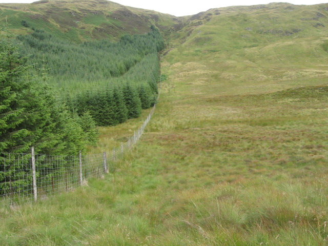
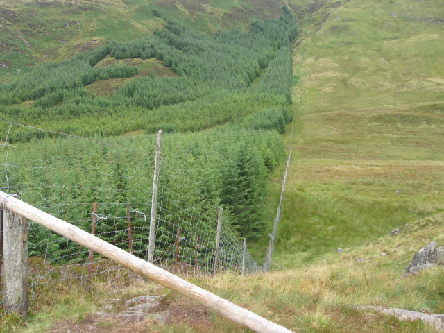
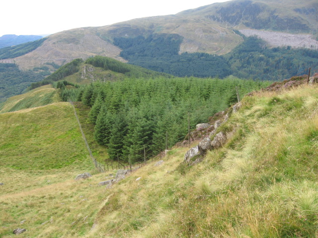
St Bride's Chapel Images

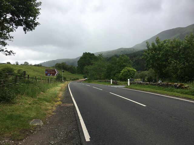
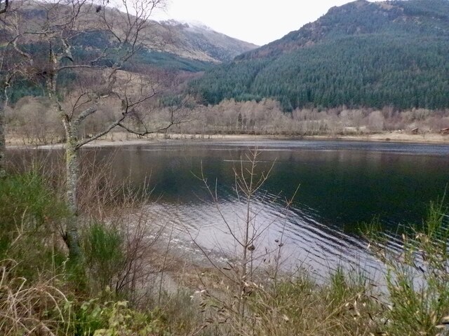
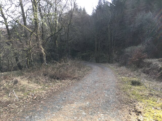
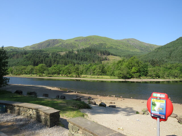
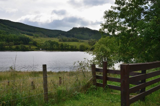
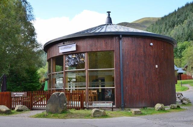
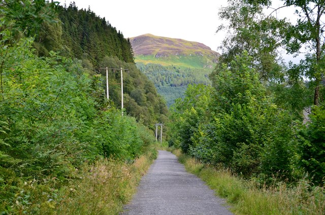
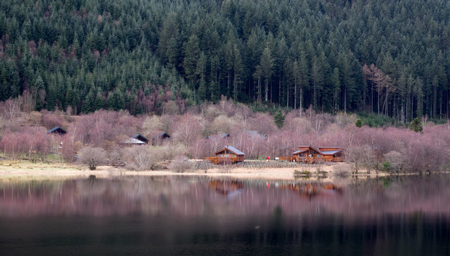
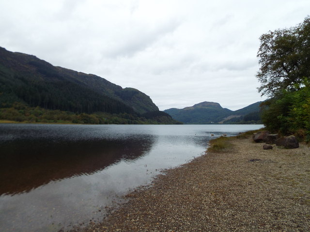
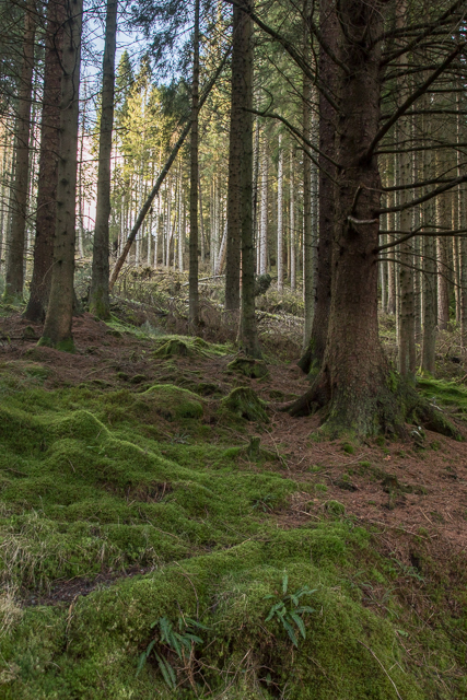
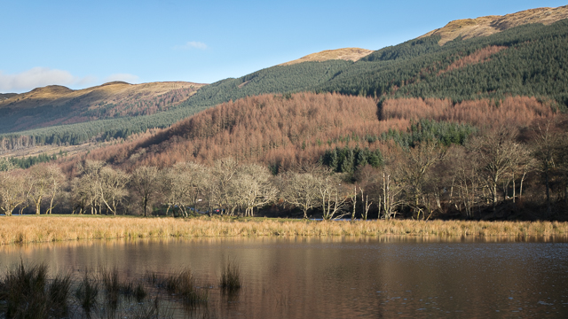
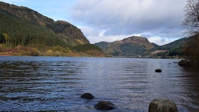
Images are sourced within 2km of 56.257/-4.283 or Grid Reference NN5809. Thanks to Geograph Open Source API. All images are credited.

A84 near Loch Lubnaig
Loch Lubnaig
Loch Lubnaig
Forestry road in Stank Glen
Loch Lubnaig Driving north from Callander to enter serious mountain country.
Loch Lubnaig
Driving north from Callander to enter serious mountain country.
Southern end of Loch Lubnaig Seen from the Rob Roy Way on the Strathyre cyclepath.
Southern end of Loch Lubnaig
Seen from the Rob Roy Way on the Strathyre cyclepath.
Café at Strathyre Forest Cabins A convenient stop for refreshment on the Callander to Strathyre cycleway.
Café at Strathyre Forest Cabins
A convenient stop for refreshment on the Callander to Strathyre cycleway.
Cyclepath to Strathyre The old railway route is now National Cycle Network route 7 and the Rob Roy Way. The hillside ahead is on the other side of Loch Lubnaig, which bends to the NW about 2km away.
Cyclepath to Strathyre
The old railway route is now National Cycle Network route 7 and the Rob Roy Way. The hillside ahead is on the other side of Loch Lubnaig, which bends to the NW about 2km away.
Wooden chalets on west side of Loch Lubnaig The chalet park is seen across the loch from a car park on the east side, beside the A84. The pink-tinged trees will be birch trees not yet in leaf.
Wooden chalets on west side of Loch Lubnaig
The chalet park is seen across the loch from a car park on the east side, beside the A84. The pink-tinged trees will be birch trees not yet in leaf.
View of Loch Lubnaig, as seen from a beach Should've uploaded this ages ago. XD
View of Loch Lubnaig, as seen from a beach
Should've uploaded this ages ago. XD
Forest in Queen Elizabeth Forest Park
View across Loch Lubnaig Loch Lubnaig is a small loch near Callander. It is around 5 km long, and has depths of up to 45 metres. The loch nestles in the space between Ben Ledi and Ben Vorlich. Fed by the River Balvaig from the north and drained by the River Leny to the south. The route of the former Callander and Oban Railway runs along the west shore of the loch. This route has now been converted to a part of the National Cycle Network's Route 7 allowing cyclists and walkers to travel the 9 miles between Callander and Strathyre.
The name Lubnaig is a Gaelic one, meaning crooked.
View across Loch Lubnaig
Loch Lubnaig is a small loch near Callander. It is around 5 km long, and has depths of up to 45 metres. The loch nestles in the space between Ben Ledi and Ben Vorlich. Fed by the River Balvaig from the north and drained by the River Leny to the south. The route of the former Callander and Oban Railway runs along the west shore of the loch. This route has now been converted to a part of the National Cycle Network's Route 7 allowing cyclists and walkers to travel the 9 miles between Callander and Strathyre. The name Lubnaig is a Gaelic one, meaning crooked.
Loch Lubnaig. Taken from the shoreline near the car park.
Loch Lubnaig.
Taken from the shoreline near the car park.
Looking north up Loch Lubnaig
Forest edge from Coire a' Chamalaid
Meall Biorach to Coire a' Chamalaid
Forest edge on Meall Biorach
Forest edge near Creag Bheithe
Loch Lubnaig
Loch Lubnaig
Show me another place!

St Bride's Chapel is located at Grid Ref: NN5809 (Lat: 56.257, Lng: -4.283)

Unitary Authority: Stirling

Police Authority: Forth Valley

What 3 Words

///approach.scaffold.woodstove. Near Callander, Stirling

Related Wikis

Falls of Leny

The Falls of Leny are a series of waterfalls in the Trossachs of Scotland on the course of the Garbh Uisge, otherwise known as the River Leny, where the...

Stirlingshire

Stirlingshire or the County of Stirling (Scottish Gaelic: Siorrachd Sruighlea [ˈʃirˠəxk ˈs̪t̪ɾuʝlə]) is a historic county and registration county of Scotland...

Ben Ledi

Ben Ledi (Beinn Leitir in Scottish Gaelic) is a mountain in Stirling, Scotland. It is 879 metres (2,884 feet) high, and is therefore classified as a Corbett...

Kilmahog

Kilmahog (Scottish Gaelic: Cille MoChùig: Cell of St. Chug) is a hamlet situated half a mile to the west of Callander, Scotland. == Toponym == Kilmahog...

Nearby Amenities

Located within 500m of 56.257,-4.283
Power: pole
Lat/Long: 56.2531058/-4.2832767
Power: pole
Lat/Long: 56.2537946/-4.2833482
Power: pole
Lat/Long: 56.2548495/-4.2846411
Power: pole
Lat/Long: 56.2560556/-4.2860216
Power: pole
Lat/Long: 56.2570275/-4.2868012
Power: pole
Lat/Long: 56.2584499/-4.28798
Parking
Fee: no
Lat/Long: 56.2534723/-4.282051
Parking
Parking: layby
Lat/Long: 56.2577235/-4.2838391
The data included in this document is from www.openstreetmap.org. The data is made available under ODbL.

Have you been to St Bride's Chapel?

Leave your review of St Bride's Chapel below (or comments, questions and feedback).