St Brandan's Stanes

Heritage Site in Banffshire

Scotland

St Brandan's Stanes

Curious cattle Near Ordens - coming to see why I was getting out of the car.
Curious cattle Credit: Alan Murray-Rust

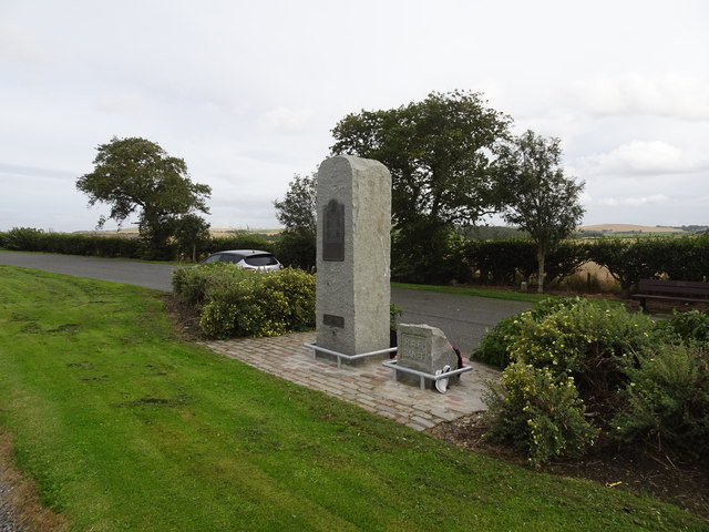
St Brandan's Stanes, located in Banffshire, Scotland, is a noteworthy heritage site renowned for its historical significance and intriguing folklore. The site consists of two ancient standing stones, believed to have been erected during the Neolithic period around 4,000 to 2,500 BC.

The stones, standing at approximately 6 feet tall, are made of red granite and are positioned about 10 feet apart. They are named after St Brandan, an Irish saint known for his voyages and missionary work during the 6th century. Legend has it that the stones were used as a marker by St Brandan himself during his travels along the coast of Scotland.

The site has attracted both archaeologists and enthusiasts interested in the history and folklore surrounding it. The stones are said to possess mystical properties, with reports of people feeling a sense of energy or experiencing unusual sensations when in close proximity to them. This has given rise to various tales and beliefs about the stones being associated with healing or spiritual practices.

St Brandan's Stanes have been recognized as a protected scheduled monument since 1971, ensuring their preservation and safeguarding against any potential damage or disturbance. They are easily accessible to the public, with a nearby parking area and a short walk to the site.

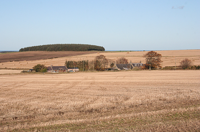
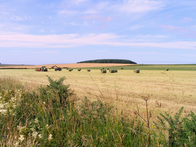
Visitors to St Brandan's Stanes can explore the surroundings, take in the scenic views of the Scottish coastline, and immerse themselves in the ancient history and folklore that permeate this intriguing heritage site.

If you have any feedback on the listing, please let us know in the comments section below.

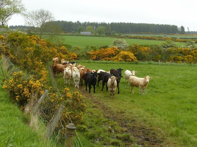
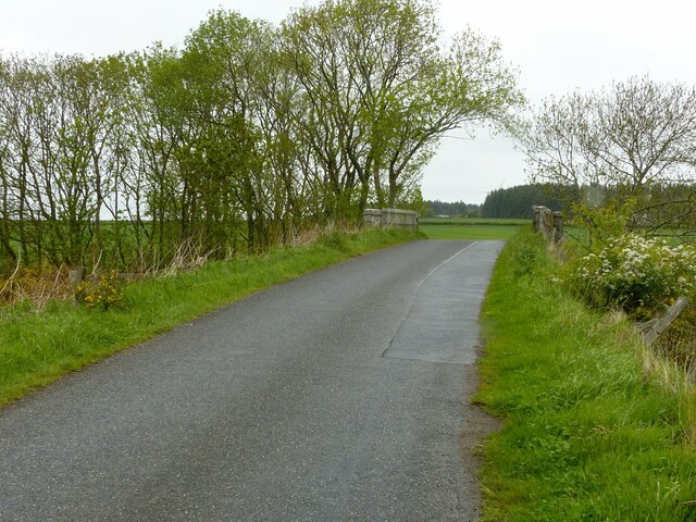
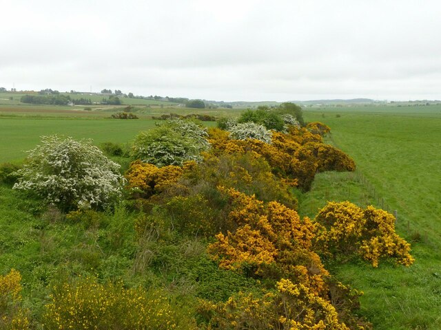
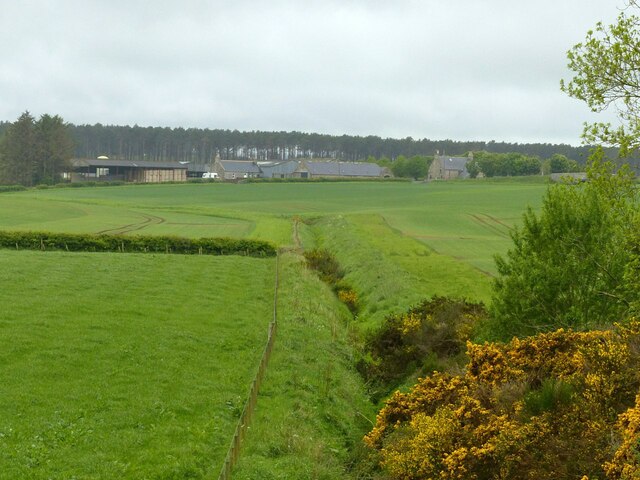
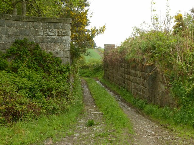
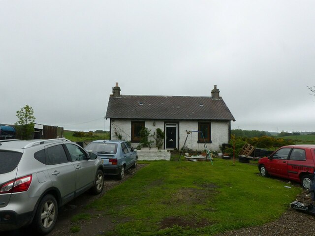
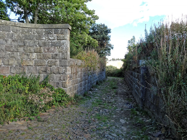
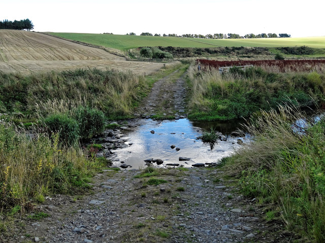
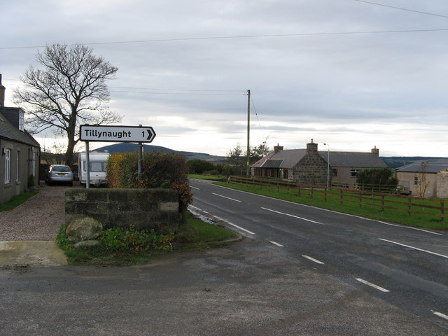
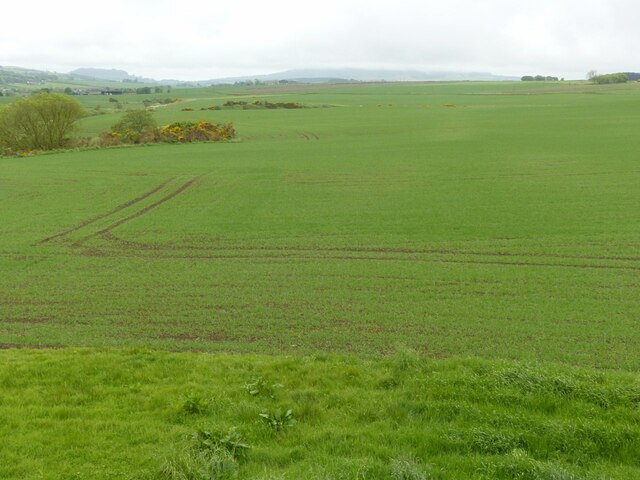
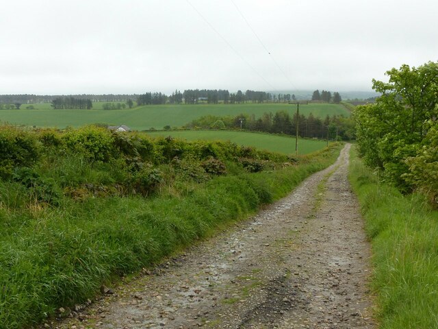
St Brandan's Stanes Images

Images are sourced within 2km of 57.642/-2.662 or Grid Reference NJ6061. Thanks to Geograph Open Source API. All images are credited.

Curious cattle Near Ordens - coming to see why I was getting out of the car.
Curious cattle
Near Ordens - coming to see why I was getting out of the car.
Former railway bridge on the road to Baldavie This was the former Great North of Scotland branch to Banff.
Former railway bridge on the road to Baldavie
This was the former Great North of Scotland branch to Banff.
Former railway line to Banff One of the locations where the course of this branch is still evident, the shallow cutting having not been put to the plough.
Former railway line to Banff
One of the locations where the course of this branch is still evident, the shallow cutting having not been put to the plough.
The site of Ordens Halt The halt was in the whin bottom right and was a very basic halt on the Great North of Scotland Railway's branch to Banff. The line curved away right – indicated by the slightly lighter green of the crop - to run under the A95, the bridge being just visible to the right of the picture. Ordens is the steading in the centre of the view.
The site of Ordens Halt
The halt was in the whin bottom right and was a very basic halt on the Great North of Scotland Railway's branch to Banff. The line curved away right – indicated by the slightly lighter green of the crop - to run under the A95, the bridge being just visible to the right of the picture. Ordens is the steading in the centre of the view.
Bridge remains at Tillynaught Junction The substantial abutments reflect the fact that to the right of the picture the line had split with two tracks forming the 'main' line and two forming the branch to Banff.
Bridge remains at Tillynaught Junction
The substantial abutments reflect the fact that to the right of the picture the line had split with two tracks forming the 'main' line and two forming the branch to Banff.
Former stationmaster's house, Tillynaught Junction The station was behind the photographer and has disappeared without trace. Apart from the house, there is a goods platform off-picture to the left. The coast line via Portsoy ran to the left of the house with the branch to Banff diverging to the right where the growth of whin can be seen. Photograph taken with permission and thanks to the current occupiers who were very interested in our visit!
Former stationmaster's house, Tillynaught Junction
The station was behind the photographer and has disappeared without trace. Apart from the house, there is a goods platform off-picture to the left. The coast line via Portsoy ran to the left of the house with the branch to Banff diverging to the right where the growth of whin can be seen. Photograph taken with permission and thanks to the current occupiers who were very interested in our visit!
Remains of railway underbridge Tillynaught Station Former Railway underbridge once carried four tracks at Tillynaught Junction Station, where the GNSR split for Portsoy and Banff
Remains of railway underbridge Tillynaught Station
Former Railway underbridge once carried four tracks at Tillynaught Junction Station, where the GNSR split for Portsoy and Banff
Ford over the Burn of Boyne
RAF Banff strike wing monument The main inscription reads:
"This memorial commemorates the men and women who served with the six multi-national squadrons which formed the Banff strike wing at RAF Banff between September 1944 and May 1945. Under the command of Group Captain the Hon. Max Aitken, the mixed Mosquito and Beaufighter units mounted concentrated attacks on German surface vessels and U-boats in the North Sea and along the Norwegian Coast. Their success in the closing months of World War ll was important in the defeat of Germany and strike wing aircraft operating from the airfield near here inflicted heavy damage on enemy shipping and supply routes. Many thousands of tons of vital iron ore and other supplies were lost  to the German forces as a result of rocket and cannon attacks carried out by this gallant strike wing. Losses among the RAF, Commonwealth and Norwegian squadrons were high. More than 80 aircrew gave their lives flying with the RAF Banff strike wing."
RAF Banff strike wing monument
The main inscription reads: "This memorial commemorates the men and women who served with the six multi-national squadrons which formed the Banff strike wing at RAF Banff between September 1944 and May 1945. Under the command of Group Captain the Hon. Max Aitken, the mixed Mosquito and Beaufighter units mounted concentrated attacks on German surface vessels and U-boats in the North Sea and along the Norwegian Coast. Their success in the closing months of World War ll was important in the defeat of Germany and strike wing aircraft operating from the airfield near here inflicted heavy damage on enemy shipping and supply routes. Many thousands of tons of vital iron ore and other supplies were lost to the German forces as a result of rocket and cannon attacks carried out by this gallant strike wing. Losses among the RAF, Commonwealth and Norwegian squadrons were high. More than 80 aircrew gave their lives flying with the RAF Banff strike wing."
Culphin from near Loanhead Culphin is at the crossroads of the A95 and minor roads south-east to Loanhead and north-west to Drakemires.
Culphin from near Loanhead
Culphin is at the crossroads of the A95 and minor roads south-east to Loanhead and north-west to Drakemires.
Culphin Crossroads at Culphin on A95 north of Cornhill.
Culphin
Crossroads at Culphin on A95 north of Cornhill.
Haymaking at Drakemires Farm
Memorial to the Banff Strike Wing on the A98
RAF Banff strike wing monument On A98 near Banff
RAF Banff strike wing monument
On A98 near Banff
Milton of Tillynaught Taking its name (previously Milltown) from the mill which is hidden beyond the main steading <a title="https://www.geograph.org.uk/photo/1997881" href="https://www.geograph.org.uk/photo/1997881">Link</a> . The buildings appear to be of 19th century date.
Milton of Tillynaught
Taking its name (previously Milltown) from the mill which is hidden beyond the main steading Link . The buildings appear to be of 19th century date.
Site of railway, Milton of Tillynaught – 1 View looking east from the road bridge. This was the coastal loop line of the Great North of Scotland Railway from Grange Junction via Portsoy to Elgin. The existence of the railway is even less obvious than it was in 2010 <a title="https://www.geograph.org.uk/photo/1997908" href="https://www.geograph.org.uk/photo/1997908">Link</a>
Site of railway, Milton of Tillynaught – 1
View looking east from the road bridge. This was the coastal loop line of the Great North of Scotland Railway from Grange Junction via Portsoy to Elgin. The existence of the railway is even less obvious than it was in 2010 Link
Site of railway, Milton of Tillynaught – 2 View looking west from the road bridge. This was the coastal loop line of the Great North of Scotland Railway from Grange Junction via Portsoy to Elgin. In this direction all trace of the railway has disappeared as it has been returned to agricultural use, significantly so since the same view in 2010 <a title="https://www.geograph.org.uk/photo/1997913" href="https://www.geograph.org.uk/photo/1997913">Link</a> .
Site of railway, Milton of Tillynaught – 2
View looking west from the road bridge. This was the coastal loop line of the Great North of Scotland Railway from Grange Junction via Portsoy to Elgin. In this direction all trace of the railway has disappeared as it has been returned to agricultural use, significantly so since the same view in 2010 Link .
The track to Tillynaught Junction This was a locally important station as it provided a connection from the coastal loop line via Portsoy to Elgin to the branch to Banff. It is now simply a farm access track. The woodland in the centre of the view is on the site of the station buildings, the small house towards the left being the former station master's house <a title="https://www.geograph.org.uk/photo/7191028" href="https://www.geograph.org.uk/photo/7191028">Link</a> .
The track to Tillynaught Junction
This was a locally important station as it provided a connection from the coastal loop line via Portsoy to Elgin to the branch to Banff. It is now simply a farm access track. The woodland in the centre of the view is on the site of the station buildings, the small house towards the left being the former station master's house Link .
Show me another place!

St Brandan's Stanes is located at Grid Ref: NJ6061 (Lat: 57.642, Lng: -2.662)

Unitary Authority: Aberdeenshire

Police Authority: North East

What 3 Words

///underway.conqueror.sprinting. Near Portsoy, Aberdeenshire

Related Wikis

Tillynaught railway station

Tillynaught railway station or Tillynaught Junction was a junction railway station in what is now Aberdeenshire, Parish of Fordyce, 6 miles south-west...

Ordens railway station

Ordens railway station was opened in 1859, its services restricted and renamed Ordens Platform railway station by 1911 and finally Ordens Halt railway...
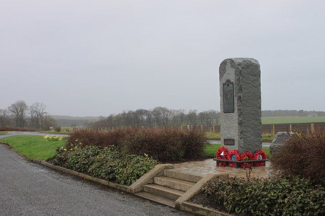
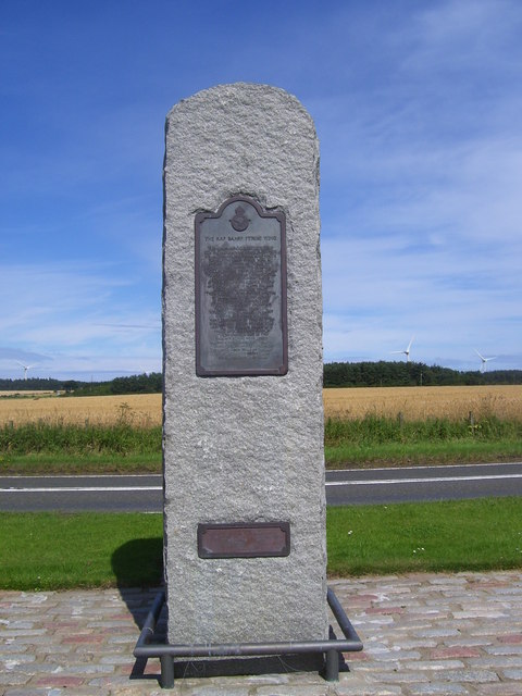
RAF Banff

Royal Air Force Banff or more simply RAF Banff is a former Royal Air Force station located 4 miles (6 km) west of Banff, Aberdeenshire, Scotland and 14...

Cornhill railway station

Cornhill railway station was an intermediate stop situated on the Great North of Scotland Railway (GNoSR) line from Cairnie Junction to Tillynaught. There...

Nearby Amenities

Located within 500m of 57.642,-2.662
Power: pole
Lat/Long: 57.6408855/-2.6622098
Power: pole
Lat/Long: 57.6413502/-2.6618727
Power: pole
Lat/Long: 57.6418107/-2.6615219
Power: pole
Lat/Long: 57.6423309/-2.6614867
Power: pole
Lat/Long: 57.6427221/-2.6610261
Power: pole
Lat/Long: 57.6433032/-2.6615357
Power: pole
Lat/Long: 57.6439356/-2.6620863
Power: pole
Lat/Long: 57.6445859/-2.6626527
Power: pole
Lat/Long: 57.6452372/-2.6632269
Power: pole
Lat/Long: 57.645837/-2.6637678
The data included in this document is from www.openstreetmap.org. The data is made available under ODbL.

Have you been to St Brandan's Stanes?

Leave your review of St Brandan's Stanes below (or comments, questions and feedback).