Linne a' Choire

Lake, Pool, Pond, Freshwater Marsh in Perthshire

Scotland

Linne a' Choire

A84 near Loch Lubnaig
A84 near Loch Lubnaig Credit: Steven Brown

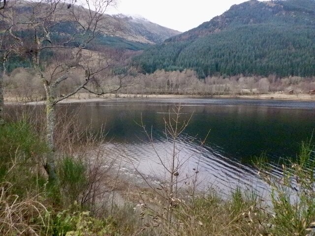
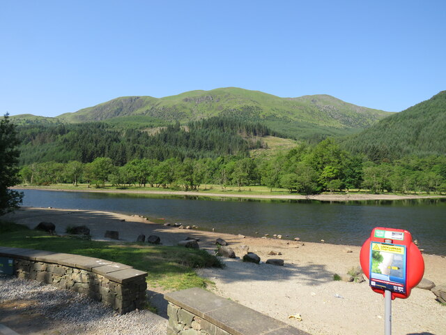
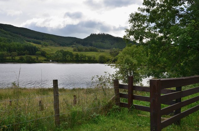
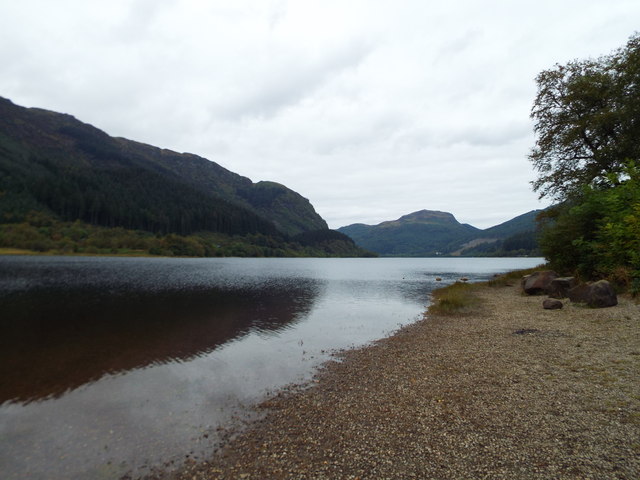
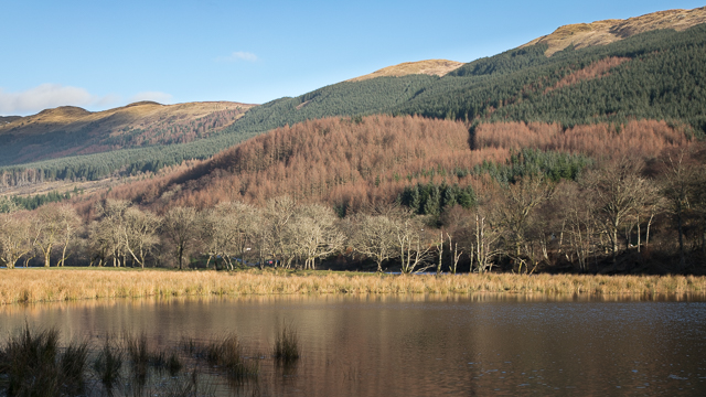
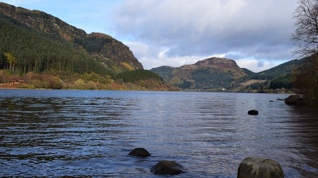
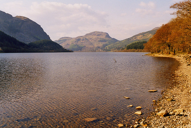
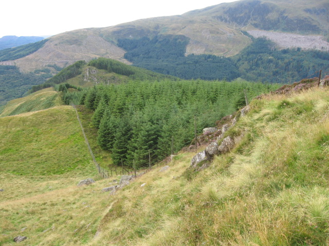
Linne a' Choire is a stunning freshwater loch located in the heart of Perthshire, Scotland. Nestled amidst the picturesque landscape of rolling hills and lush greenery, it is a true natural gem. This beautiful water body covers an area of approximately 50 hectares, making it an ideal destination for nature enthusiasts and outdoor lovers.

The loch is characterized by its crystal-clear waters, which reflect the surrounding landscape, creating a mirror-like effect. Linne a' Choire is fed by several small streams and springs, ensuring a constant flow of fresh, clean water. Its depth varies, with the deepest point measuring around 10 meters. The loch is also home to an abundance of aquatic vegetation, including water lilies and reeds, which provide a habitat for various species of fish and insects.

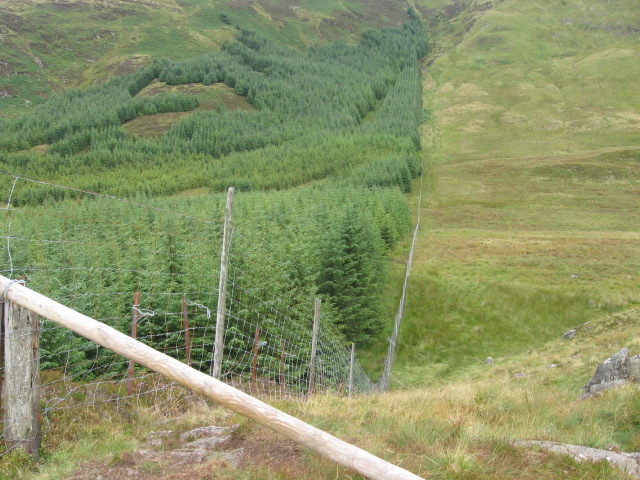
Surrounding the loch is a diverse range of flora and fauna. The area boasts an array of bird species, including herons, swans, and ducks, making it a popular spot for birdwatching. Visitors can often witness these majestic creatures gracefully gliding across the water or nesting in the nearby trees.

The tranquil atmosphere and stunning scenery make Linne a' Choire an ideal location for outdoor activities such as fishing, boating, and picnicking. The loch is regularly stocked with brown trout, attracting anglers from far and wide. Its tranquil waters also provide a peaceful setting for kayaking and canoeing.

Overall, Linne a' Choire in Perthshire offers a serene escape into nature, where visitors can immerse themselves in the tranquility of the Scottish countryside and enjoy the beauty of this freshwater loch.

If you have any feedback on the listing, please let us know in the comments section below.

Linne a' Choire Images

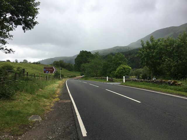
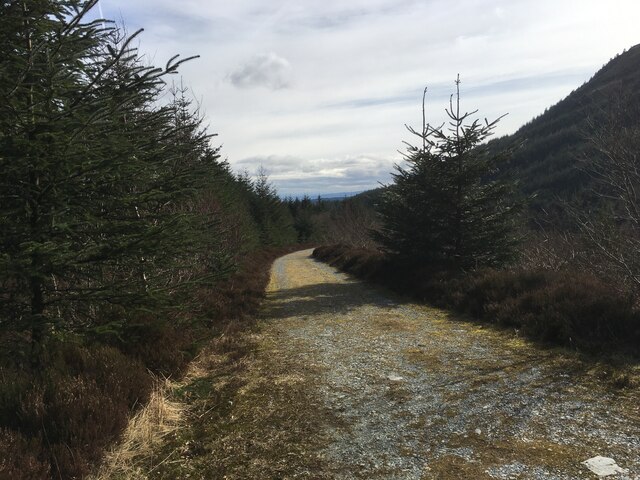
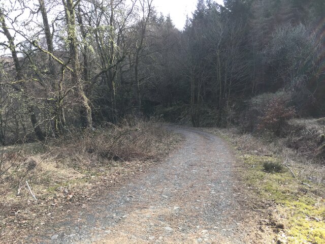
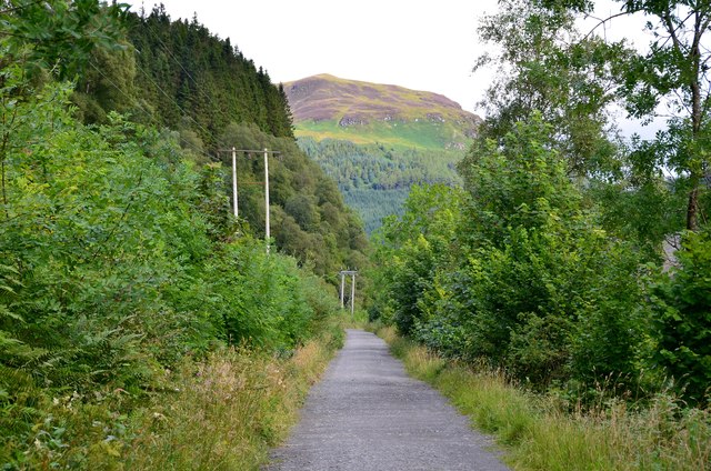
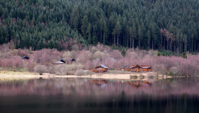
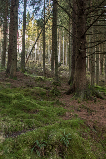
Images are sourced within 2km of 56.258767/-4.2856452 or Grid Reference NN5809. Thanks to Geograph Open Source API. All images are credited.

A84 near Loch Lubnaig
Loch Lubnaig
Loch Lubnaig
Forestry road in Stank Glen
Loch Lubnaig Driving north from Callander to enter serious mountain country.
Loch Lubnaig
Driving north from Callander to enter serious mountain country.
Path in the Stank Glen A path crossing moorland and forestry in the Stank Glen.
Path in the Stank Glen
A path crossing moorland and forestry in the Stank Glen.
Southern end of Loch Lubnaig Seen from the Rob Roy Way on the Strathyre cyclepath.
Southern end of Loch Lubnaig
Seen from the Rob Roy Way on the Strathyre cyclepath.
Café at Strathyre Forest Cabins A convenient stop for refreshment on the Callander to Strathyre cycleway.
Café at Strathyre Forest Cabins
A convenient stop for refreshment on the Callander to Strathyre cycleway.
Cyclepath to Strathyre The old railway route is now National Cycle Network route 7 and the Rob Roy Way. The hillside ahead is on the other side of Loch Lubnaig, which bends to the NW about 2km away.
Cyclepath to Strathyre
The old railway route is now National Cycle Network route 7 and the Rob Roy Way. The hillside ahead is on the other side of Loch Lubnaig, which bends to the NW about 2km away.
Wooden chalets on west side of Loch Lubnaig The chalet park is seen across the loch from a car park on the east side, beside the A84. The pink-tinged trees will be birch trees not yet in leaf.
Wooden chalets on west side of Loch Lubnaig
The chalet park is seen across the loch from a car park on the east side, beside the A84. The pink-tinged trees will be birch trees not yet in leaf.
View of Loch Lubnaig, as seen from a beach Should've uploaded this ages ago. XD
View of Loch Lubnaig, as seen from a beach
Should've uploaded this ages ago. XD
Loch Lubnaig From a National Park rest area,
Loch Lubnaig
From a National Park rest area,
Forest in Queen Elizabeth Forest Park
View across Loch Lubnaig Loch Lubnaig is a small loch near Callander. It is around 5 km long, and has depths of up to 45 metres. The loch nestles in the space between Ben Ledi and Ben Vorlich. Fed by the River Balvaig from the north and drained by the River Leny to the south. The route of the former Callander and Oban Railway runs along the west shore of the loch. This route has now been converted to a part of the National Cycle Network's Route 7 allowing cyclists and walkers to travel the 9 miles between Callander and Strathyre.
The name Lubnaig is a Gaelic one, meaning crooked.
View across Loch Lubnaig
Loch Lubnaig is a small loch near Callander. It is around 5 km long, and has depths of up to 45 metres. The loch nestles in the space between Ben Ledi and Ben Vorlich. Fed by the River Balvaig from the north and drained by the River Leny to the south. The route of the former Callander and Oban Railway runs along the west shore of the loch. This route has now been converted to a part of the National Cycle Network's Route 7 allowing cyclists and walkers to travel the 9 miles between Callander and Strathyre. The name Lubnaig is a Gaelic one, meaning crooked.
Loch Lubnaig. Taken from the shoreline near the car park.
Loch Lubnaig.
Taken from the shoreline near the car park.
Looking north up Loch Lubnaig
Meall Biorach to Coire a' Chamalaid
Forest edge on Meall Biorach
Show me another place!

Linne a' Choire is located at Grid Ref: NN5809 (Lat: 56.258767, Lng: -4.2856452)

Unitary Authority: Stirling

Police Authority: Forth Valley

What 3 Words

///denote.flippers.severe. Near Callander, Stirling

Related Wikis

Falls of Leny

The Falls of Leny are a series of waterfalls in the Trossachs of Scotland on the course of the Garbh Uisge, otherwise known as the River Leny, where the...

Ben Ledi

Ben Ledi (Beinn Leitir in Scottish Gaelic) is a mountain in Stirling, Scotland. It is 879 metres (2,884 feet) high, and is therefore classified as a Corbett...

Stirlingshire

Stirlingshire or the County of Stirling (Scottish Gaelic: Siorrachd Sruighlea [ˈʃirˠəxk ˈs̪t̪ɾuʝlə]) is a historic county and registration county of Scotland...

Kilmahog

Kilmahog (Scottish Gaelic: Cille MoChùig: Cell of St. Chug) is a hamlet situated half a mile to the west of Callander, Scotland. == Toponym == Kilmahog...

Nearby Amenities

Located within 500m of 56.258767,-4.2856452
Power: pole
Lat/Long: 56.2548495/-4.2846411
Power: pole
Lat/Long: 56.2560556/-4.2860216
Power: pole
Lat/Long: 56.2570275/-4.2868012
Power: pole
Lat/Long: 56.2584499/-4.28798
Power: pole
Lat/Long: 56.2604079/-4.2896386
Power: pole
Lat/Long: 56.2612382/-4.2894988
Power: pole
Lat/Long: 56.262103/-4.2894056
Power: pole
Lat/Long: 56.2625492/-4.2828567
Power: pole
Lat/Long: 56.2625004/-4.2836034
Power: pole
Lat/Long: 56.2624435/-4.2844882
Material: wood
Power: pole
Lat/Long: 56.262354/-4.2858186
Power: pole
Lat/Long: 56.262196/-4.2880756
Parking
Parking: layby
Lat/Long: 56.2577235/-4.2838391
The data included in this document is from www.openstreetmap.org. The data is made available under ODbL.

Have you been to Linne a' Choire?

Leave your review of Linne a' Choire below (or comments, questions and feedback).