Shrawardine Castle

Heritage Site in Shropshire

England

Shrawardine Castle

View to the Breidden Hills Looking across fields to the west of Shrawardine Castle.
View to the Breidden Hills Credit: Jonathan Billinger

The requested URL returned error: 429 Too Many Requests

If you have any feedback on the listing, please let us know in the comments section below.

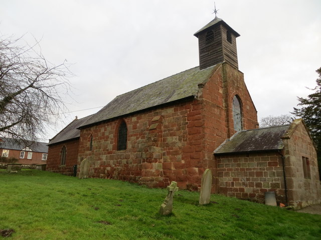
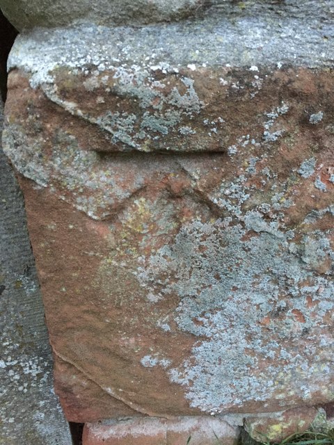
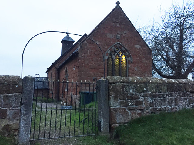
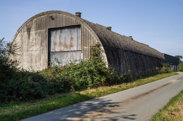
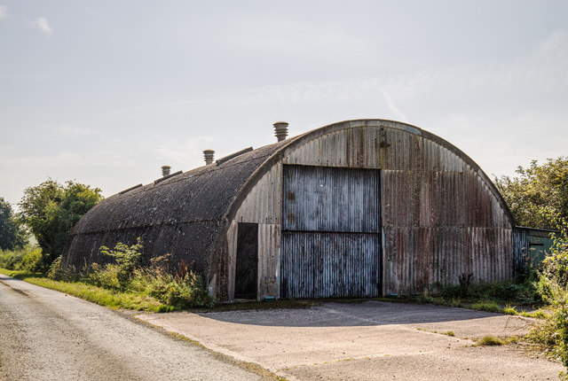
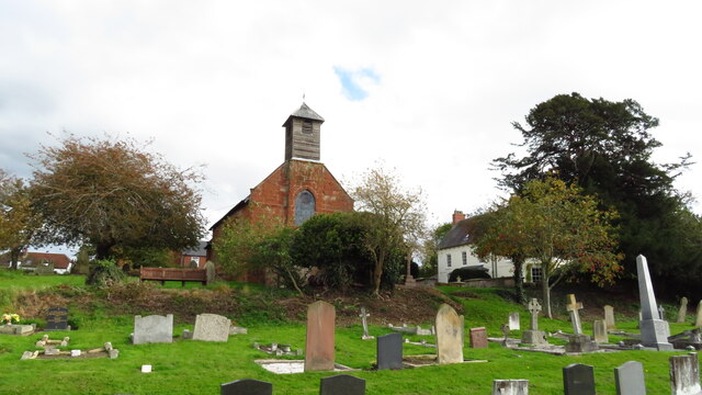
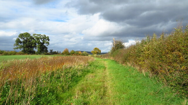
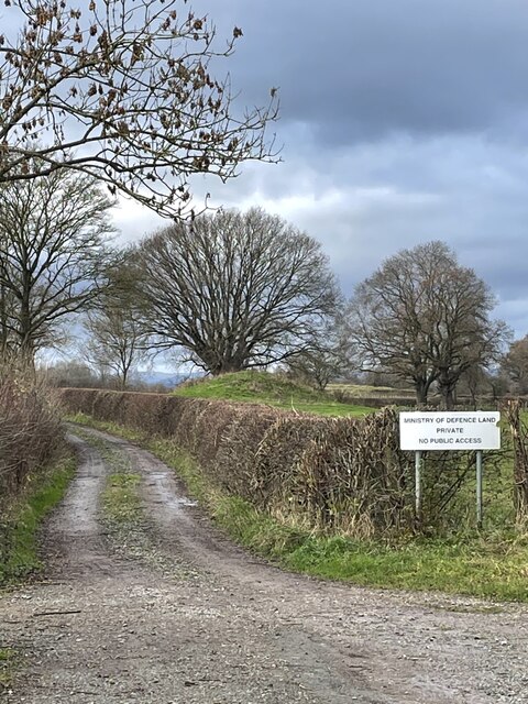
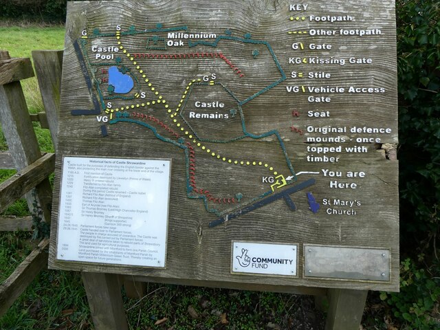
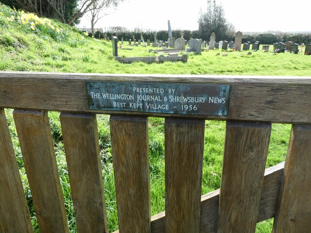
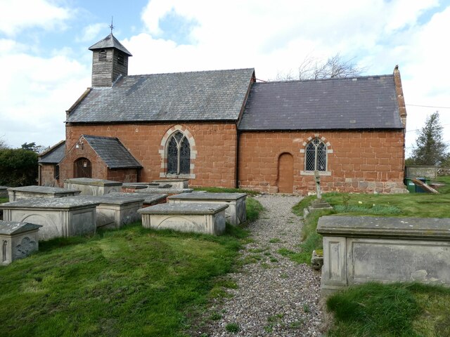
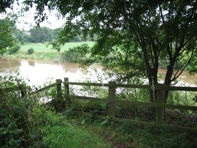
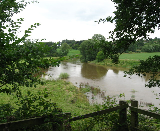
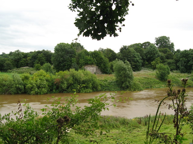
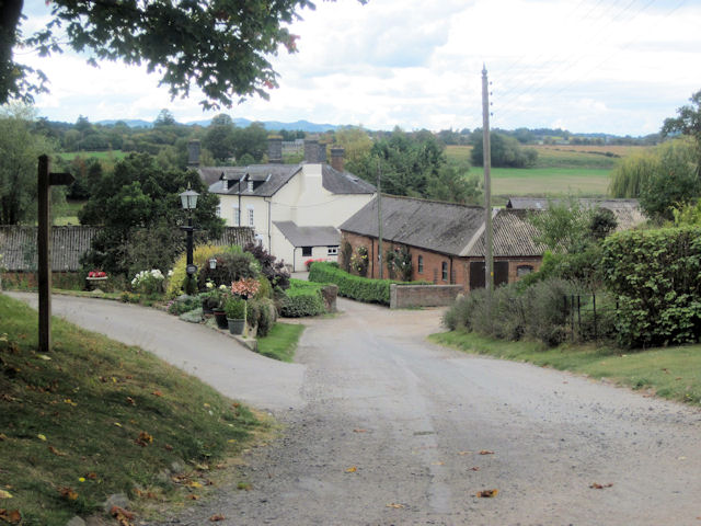
Shrawardine Castle Images

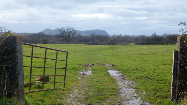
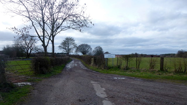
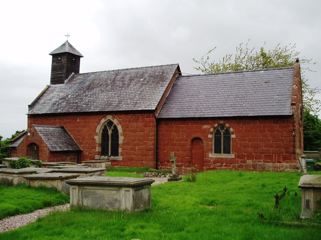
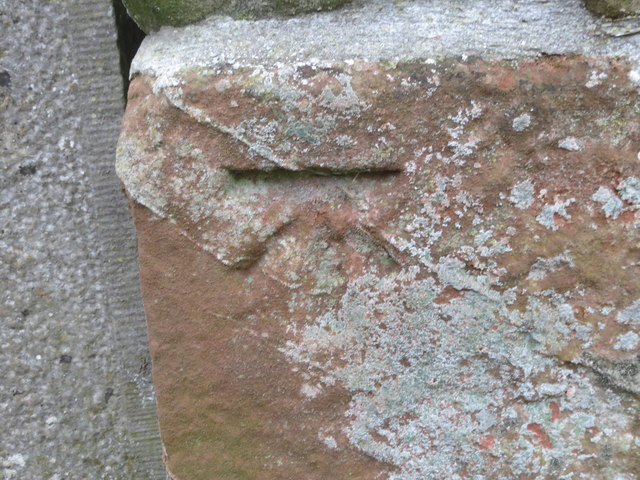
Images are sourced within 2km of 52.733/-2.882 or Grid Reference SJ4015. Thanks to Geograph Open Source API. All images are credited.

View to the Breidden Hills Looking across fields to the west of Shrawardine Castle.
View to the Breidden Hills
Looking across fields to the west of Shrawardine Castle.
Nesscliffe Training Area Photo taken from the end of the public road by what used to be Shrawardine Station on the dismantled Shropshire and Montgomeryshire Railway which closed in 1960.
The training area is used for helicopter work as was evidenced by my ears but not my eyes at this point.
Nesscliffe Training Area
Photo taken from the end of the public road by what used to be Shrawardine Station on the dismantled Shropshire and Montgomeryshire Railway which closed in 1960. The training area is used for helicopter work as was evidenced by my ears but not my eyes at this point.
The Church of St Mary the Virgin, Shrawardine
Ordnance Survey Cut Mark This can be found on the roadside boundary wall of St Mary's Church in Shrawardine.
For more detail see : <span class="nowrap"><a title="http://www.bench-marks.org.uk/bm81104" rel="nofollow ugc noopener" href="http://www.bench-marks.org.uk/bm81104">Link</a><img style="margin-left:2px;" alt="External link" title="External link - shift click to open in new window" src="https://s1.geograph.org.uk/img/external.png" width="10" height="10"/></span>
Ordnance Survey Cut Mark
This can be found on the roadside boundary wall of St Mary's Church in Shrawardine. For more detail see : LinkExternal link
The Church of St Mary at Shrawardine Viewed from the north.
The Church of St Mary at Shrawardine
Viewed from the north.
OS Cut Mark: Shrawardine, St Mary's Church CUT MARK: WALL 0.9M S PRODN S FACE CH SW SIDE RD (ODN 87.7865m, AGL 0.5m).
OS Cut Mark: Shrawardine, St Mary's Church
CUT MARK: WALL 0.9M S PRODN S FACE CH SW SIDE RD (ODN 87.7865m, AGL 0.5m).
Shrawardine, St Mary's Church Cut mark also showing on roadside wall
Shrawardine, St Mary's Church
Cut mark also showing on roadside wall
WWII Shropshire: AA Searchlight Site (1) -
AA Searchlight: EDoB ID: e09911

In the undergrowth at Bentham Hall Farm behind this Romney hut, are the remains of Second World War Nissen huts that were apparently associated with the searchlight battery at Nib Heath. The Romney hut here is the sole survivor.

<a href="https://www.geograph.org.uk/photo/6617110">SJ3913 : WWII Shropshire: AA Searchlight Site (2)</a>
WWII Shropshire: AA Searchlight Site (1)
- AA Searchlight: EDoB ID: e09911 In the undergrowth at Bentham Hall Farm behind this Romney hut, are the remains of Second World War Nissen huts that were apparently associated with the searchlight battery at Nib Heath. The Romney hut here is the sole survivor. SJ3913 : WWII Shropshire: AA Searchlight Site (2)
WWII Shropshire: AA Searchlight Site (2) -
AA Searchlight: EDoB ID: e09911

<a href="https://www.geograph.org.uk/photo/6617103">SJ3913 : WWII Shropshire: AA Searchlight Site (1)</a>
WWII Shropshire: AA Searchlight Site (2)
- AA Searchlight: EDoB ID: e09911 SJ3913 : WWII Shropshire: AA Searchlight Site (1)
Shrawardine - St Mary the Virgin Church
On the Shropshire Way heading towards Felton Butler from Shrawardine
Barred entrance to military training area near Shrawardine This was a well used training area by American forces in the Second World War. The OS map still has “America” printed to describe the area. It still is used periodically by UK territorial units.
Barred entrance to military training area near Shrawardine
This was a well used training area by American forces in the Second World War. The OS map still has “America” printed to describe the area. It still is used periodically by UK territorial units.
Information board at Shrawardine castle The castle was attacked by the Welsh under Llywelyn in 1215.  It was also a site of conflict in the English Civil War in 1645. 

Nice board. Great work. Lovely use of texture.
Information board at Shrawardine castle
The castle was attacked by the Welsh under Llywelyn in 1215. It was also a site of conflict in the English Civil War in 1645. Nice board. Great work. Lovely use of texture.
Plaque on the churchyard gate at Shrawardine church In 1956 this village won the Best Kept Village award for that year. It is still a very well kept village. Nice to imagine 1956 here. Few cars, no wifi, stronger accents, rationing ending, the war years fading just a tad maybe, optimism, progress, but Suez, Eden and the advent of Elvis?
Plaque on the churchyard gate at Shrawardine church
In 1956 this village won the Best Kept Village award for that year. It is still a very well kept village. Nice to imagine 1956 here. Few cars, no wifi, stronger accents, rationing ending, the war years fading just a tad maybe, optimism, progress, but Suez, Eden and the advent of Elvis?
The church and churchyard in Shrawardine Lots of grand tombs here. 

Vanitas vanitatum....
The church and churchyard in Shrawardine
Lots of grand tombs here. Vanitas vanitatum....
Severn viewpoint 1 - Shrawardine, Shropshire A public footpath from Shrawardine - 'Shraden' to the locals - ends here at the site of a now-vanished railway bridge of the Shropshire & Montgomeryshire Railway. A bench here gives a pleasant spot for a break. Taken at 11.26 am BST (British Summer Time).

<a href="https://www.geograph.org.uk/photo/3606817">SJ3915 : Severn viewpoint 2 - Shrawardine, Shropshire</a> <a href="https://www.geograph.org.uk/photo/3606822">SJ3915 : Severn viewpoint 3 - Shrawardine, Shropshire</a> <a href="https://www.geograph.org.uk/photo/3606838">SJ3915 : Severn viewpoint 4 - Shrawardine, Shropshire</a>
Severn viewpoint 1 - Shrawardine, Shropshire
A public footpath from Shrawardine - 'Shraden' to the locals - ends here at the site of a now-vanished railway bridge of the Shropshire & Montgomeryshire Railway. A bench here gives a pleasant spot for a break. Taken at 11.26 am BST (British Summer Time). SJ3915 : Severn viewpoint 2 - Shrawardine, Shropshire SJ3915 : Severn viewpoint 3 - Shrawardine, Shropshire SJ3915 : Severn viewpoint 4 - Shrawardine, Shropshire
Severn viewpoint 2 - Shrawardine, Shropshire A public footpath from Shrawardine - 'Shraden' to the locals - ends here at the site of a one time railway bridge over the Severn. The bridge, which was demolished in 1962, was on the route of the Shropshire & Montgomeryshire Railway, which had a chequered history in at times private and military ownership. Taken at 11.26 am BST (British Summer Time).

<a href="https://www.geograph.org.uk/photo/3606802">SJ3915 : Severn viewpoint 1 - Shrawardine, Shropshire</a> <a href="https://www.geograph.org.uk/photo/3606822">SJ3915 : Severn viewpoint 3 - Shrawardine, Shropshire</a> <a href="https://www.geograph.org.uk/photo/3606838">SJ3915 : Severn viewpoint 4 - Shrawardine, Shropshire</a>
Severn viewpoint 2 - Shrawardine, Shropshire
A public footpath from Shrawardine - 'Shraden' to the locals - ends here at the site of a one time railway bridge over the Severn. The bridge, which was demolished in 1962, was on the route of the Shropshire & Montgomeryshire Railway, which had a chequered history in at times private and military ownership. Taken at 11.26 am BST (British Summer Time). SJ3915 : Severn viewpoint 1 - Shrawardine, Shropshire SJ3915 : Severn viewpoint 3 - Shrawardine, Shropshire SJ3915 : Severn viewpoint 4 - Shrawardine, Shropshire
Severn viewpoint 3 - Shrawardine, Shropshire Reached by a public footpath from Shrawardine - 'Shraden'  to the locals - across the river from this viewpoint can be seen the opposite abutment of a Shropshire & Montgomeryshire Railway bridge which crossed the Severn at this point. The bridge was demolished in 1962, after serving a line which had a very chequered history. Taken at 11.28 am BST (British Summer Time).

<a href="https://www.geograph.org.uk/photo/3606802">SJ3915 : Severn viewpoint 1 - Shrawardine, Shropshire</a> <a href="https://www.geograph.org.uk/photo/3606817">SJ3915 : Severn viewpoint 2 - Shrawardine, Shropshire</a> <a href="https://www.geograph.org.uk/photo/3606838">SJ3915 : Severn viewpoint 4 - Shrawardine, Shropshire</a>
Severn viewpoint 3 - Shrawardine, Shropshire
Reached by a public footpath from Shrawardine - 'Shraden' to the locals - across the river from this viewpoint can be seen the opposite abutment of a Shropshire & Montgomeryshire Railway bridge which crossed the Severn at this point. The bridge was demolished in 1962, after serving a line which had a very chequered history. Taken at 11.28 am BST (British Summer Time). SJ3915 : Severn viewpoint 1 - Shrawardine, Shropshire SJ3915 : Severn viewpoint 2 - Shrawardine, Shropshire SJ3915 : Severn viewpoint 4 - Shrawardine, Shropshire
Show me another place!

Shrawardine Castle is located at Grid Ref: SJ4015 (Lat: 52.733, Lng: -2.882)

Unitary Authority: Shropshire

Police Authority: West Mercia

What 3 Words

///segmented.whistle.corrupted. Near Ford, Shropshire

Related Wikis

Shrawardine

Shrawardine is a small village and former civil parish, now in the parish of Montford, in the Shropshire district, in the ceremonial county of Shropshire...

Montford, Shropshire

Montford is a small village and parish in Shropshire, England. The village lies near the A5 road, on the north bank of the River Severn and is 3 miles...

Shrawardine railway station

Shrawardine railway station was a station in Shrawardine, Shropshire, England. The station was opened in 1866 and closed in 1933. == References == ��2...

Ford, Shropshire

Ford is a village and civil parish in Shropshire, England. The civil parish population at the 2011 census was 890.Ford lies west of the county town of...

Nearby Amenities

Located within 500m of 52.733,-2.882
Generator Method: photovoltaic
Generator Output Electricity: yes
Generator Source: solar
Generator Type: solar_photovoltaic_panel
Location: roof
Power: generator
Lat/Long: 52.7322614/-2.8892823
Generator Method: photovoltaic
Generator Output Electricity: yes
Generator Source: solar
Generator Type: solar_photovoltaic_panel
Location: roof
Power: generator
Lat/Long: 52.7311903/-2.8885084
Generator Method: photovoltaic
Generator Output Electricity: yes
Generator Source: solar
Generator Type: solar_photovoltaic_panel
Location: roof
Power: generator
Lat/Long: 52.7358873/-2.8799683
Shrawardine Castle
Access: yes
Historic: ruins
Historic Civilization: medieval
Ruins: castle
Lat/Long: 52.7327017/-2.8891719
Barrier: stile
Lat/Long: 52.7350159/-2.8839163
The data included in this document is from www.openstreetmap.org. The data is made available under ODbL.

Have you been to Shrawardine Castle?

Leave your review of Shrawardine Castle below (or comments, questions and feedback).