Shining Cliff Wood
Heritage Site in Derbyshire Amber Valley
England
Shining Cliff Wood
Shining Cliff Wood, located in Derbyshire, England, is a picturesque heritage site renowned for its natural beauty and rich history. Spanning over 200 acres, this enchanting woodland is nestled within the Derwent Valley Mills World Heritage Site, showcasing the industrial heritage of the region.
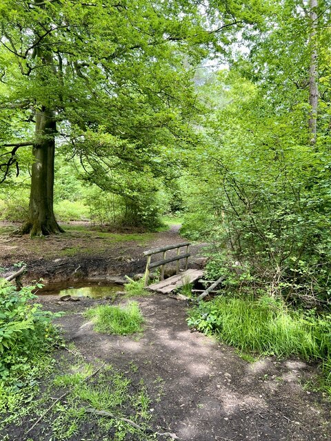
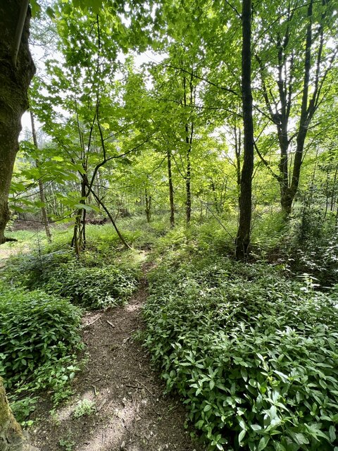
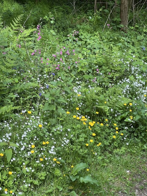
The wood is characterized by its diverse range of flora and fauna, offering a haven for wildlife enthusiasts and nature lovers. Ancient oak and beech trees dominate the landscape, creating a dense canopy that filters sunlight and provides a tranquil atmosphere. The forest floor is adorned with a carpet of bluebells in the springtime, painting the woodland with vibrant hues.
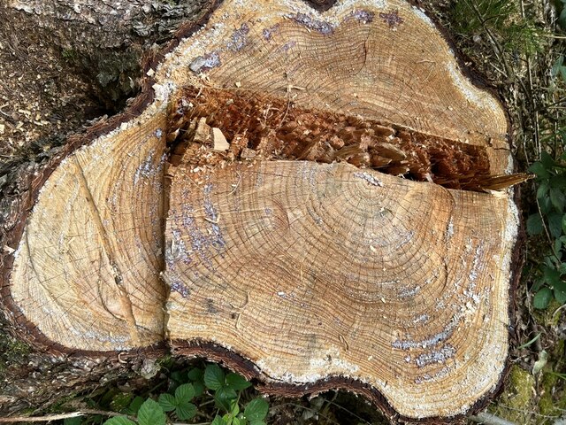
Aside from its natural splendor, Shining Cliff Wood has a fascinating historical significance. The wood was once a hub of industrial activity during the 18th and 19th centuries, with a plethora of lead mines and quarrying operations. Remnants of this industrial past can still be found, including old mine shafts, quarries, and derelict buildings.
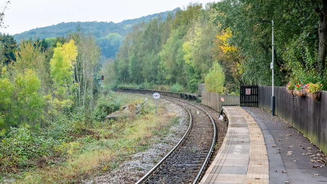
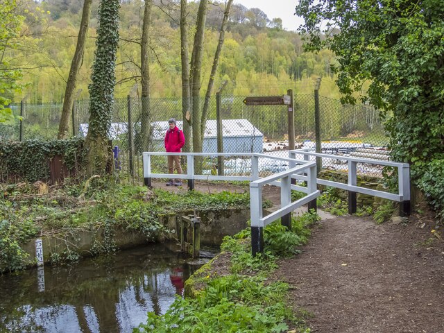
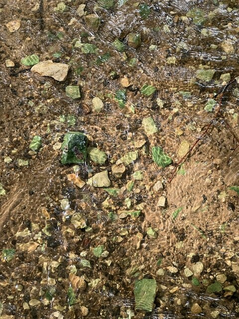
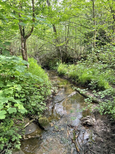
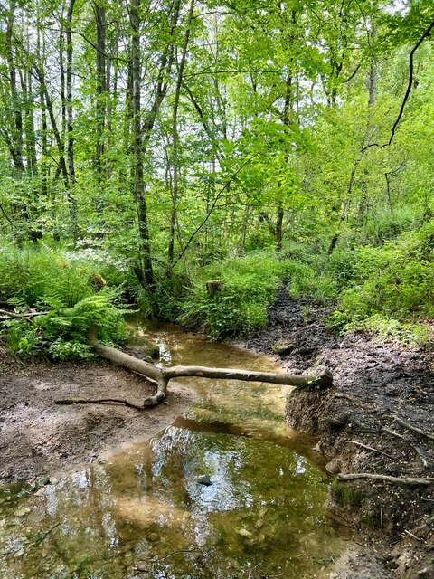
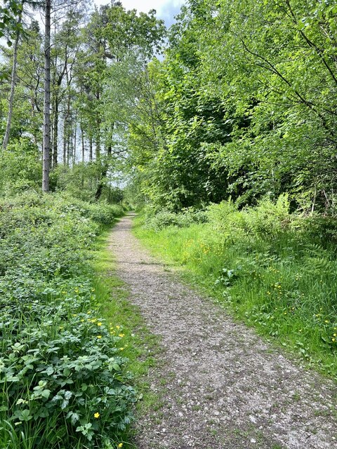
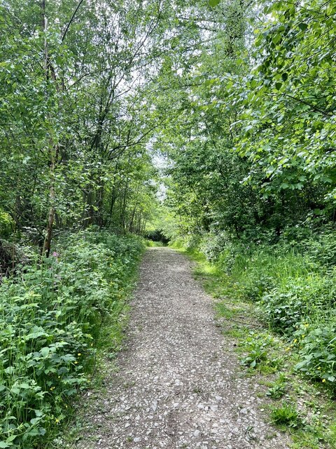
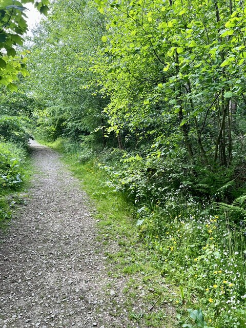
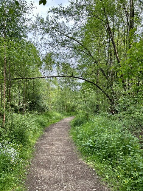
Today, the wood is managed by the National Trust, ensuring its preservation and accessibility for visitors. It offers several walking trails and paths, allowing visitors to explore the woodland's hidden treasures. The winding Shining Cliff River meanders through the wood, adding to its scenic allure.
Shining Cliff Wood is a haven for wildlife, with various species of birds, mammals, and insects calling it home. Birdwatchers can spot woodpeckers, nuthatches, and tawny owls, among others. Badgers, foxes, and deer are also known to roam the woodland.
Overall, Shining Cliff Wood is a captivating heritage site that seamlessly blends natural beauty with a rich industrial past, making it a must-visit destination for nature enthusiasts and history buffs alike.
If you have any feedback on the listing, please let us know in the comments section below.
Shining Cliff Wood Images
Images are sourced within 2km of 53.07/-1.5 or Grid Reference SK3352. Thanks to Geograph Open Source API. All images are credited.


Shining Cliff Wood is located at Grid Ref: SK3352 (Lat: 53.07, Lng: -1.5)
Administrative County: Derbyshire
District: Amber Valley
Police Authority: Derbyshire
What 3 Words
///crockery.betraying.tweaked. Near Heage, Derbyshire
Nearby Locations
Related Wikis

Shining Cliff Woods, Derbyshire
Shining Cliff Woods are on the west bank of the River Derwent near to Ambergate in Derbyshire, England. In medieval times "Schymynde-cliffe" was one of...

Oakhurst House
Oakhurst House is a derelict building in Shining Cliff Woods above the village of Ambergate in Derbyshire. The house was built in 1848 by Francis Hurt...

Great British Car Journey
The Great British Car Journey is a car museum in Ambergate, Derbyshire, England. It opened on 22 May 2021. The museum's exhibits consist of over 130 cars...

Alderwasley Hall School
Alderwasley Hall School is a private residential special school. The school is for children and young people aged 5 to 20 with High-Functioning ASD (Autism...
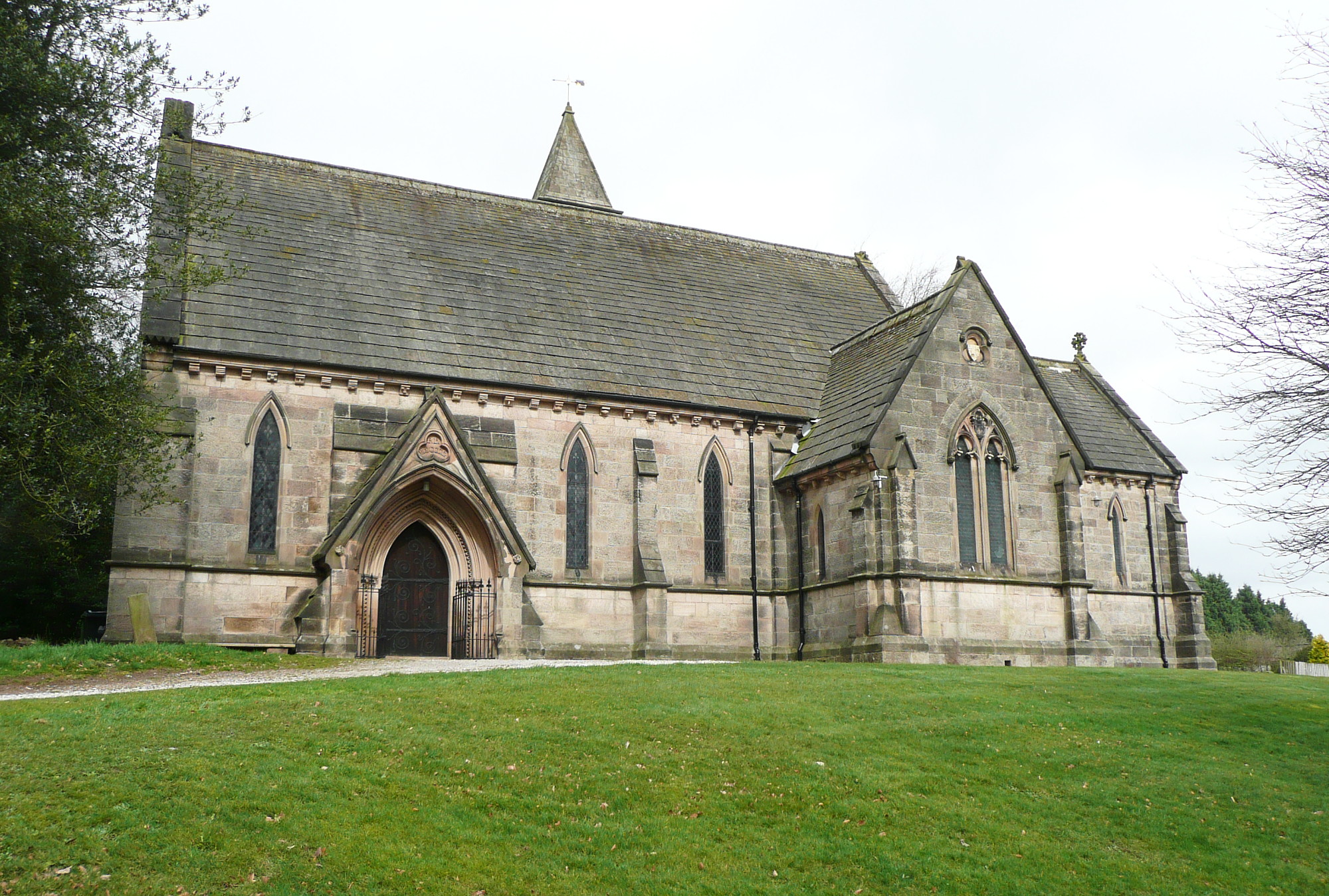
All Saints' Church, Alderwasley
All Saints’ Church, Alderwasley, is a Grade II listed parish church in the Church of England: 55 in Alderwasley, Derbyshire. == History == The church...

Chase Cliffe
Chase Cliffe is a building situated between the villages of Whatstandwell and Crich in Derbyshire. The house was built in 1859 by the three sisters of...

Cromford Canal
The Cromford Canal ran 14.5 miles (23.3 kilometres) from Cromford to the Erewash Canal in Derbyshire, England with a branch to Pinxton. Built by William...

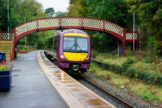
Whatstandwell railway station
Whatstandwell railway station is a railway station owned by Network Rail and managed by East Midlands Railway. It serves the villages of Whatstandwell...
Nearby Amenities
Located within 500m of 53.07,-1.5Have you been to Shining Cliff Wood?
Leave your review of Shining Cliff Wood below (or comments, questions and feedback).