Typeclose Plantation
Wood, Forest in Derbyshire Amber Valley
England
Typeclose Plantation
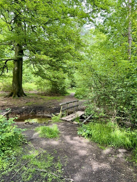
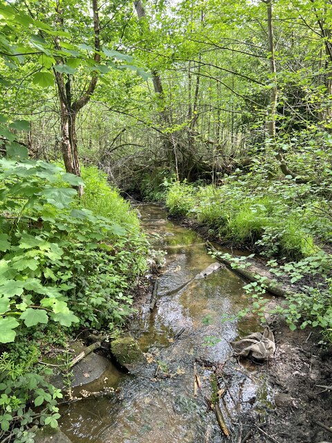
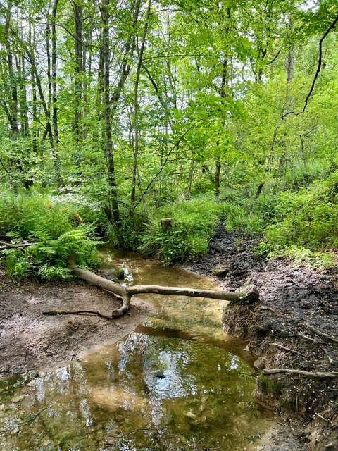
Typeclose Plantation is a picturesque woodland located in Derbyshire, England. Situated in the heart of the beautiful Peak District National Park, it covers an area of approximately 100 acres and is renowned for its stunning natural beauty and diverse flora and fauna.
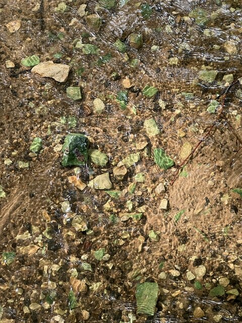
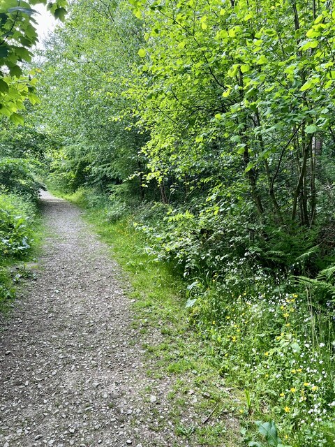
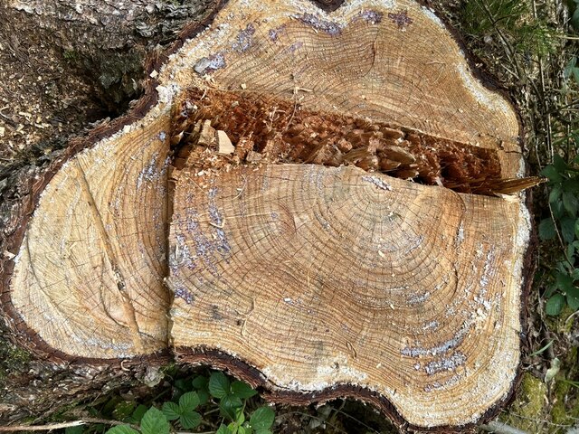
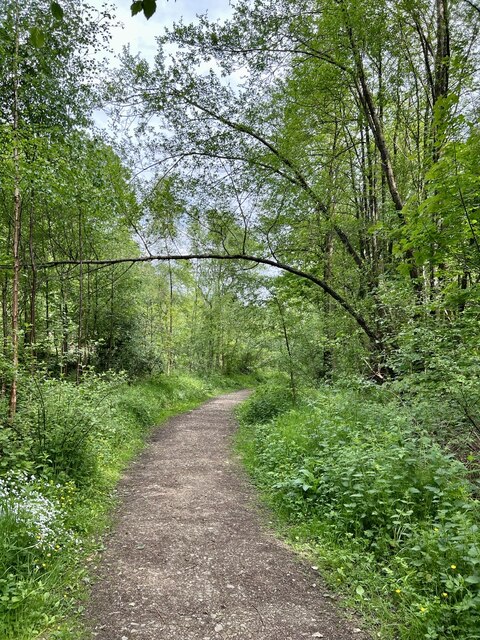
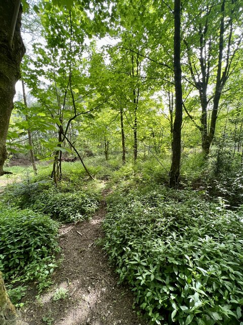
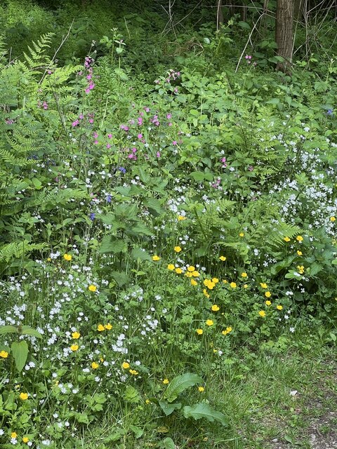
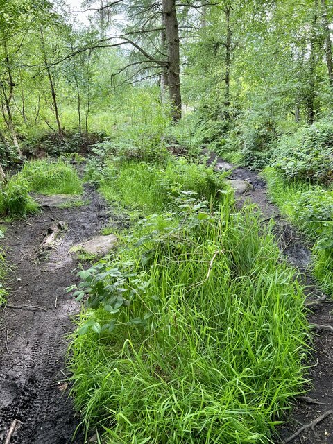
The plantation is predominantly made up of broadleaf trees, including oak, beech, and birch, which create a dense and enchanting forest canopy. The rich and varied undergrowth is home to a wide range of plant species, such as bluebells, wood sorrel, and wild garlic, which add vibrant colors to the woodland during the spring and summer months.
The plantation is a haven for wildlife, providing a sanctuary for numerous species. It is particularly known for its bird population, with sightings of various species including woodpeckers, jays, and owls. The plantation is also home to a number of mammals, including deer, foxes, and badgers.
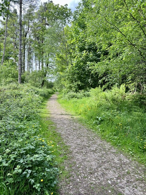
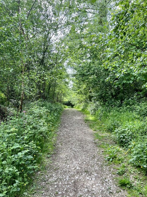
Visitors to Typeclose Plantation can enjoy a range of activities. There are well-maintained walking trails that wind through the woodland, allowing visitors to immerse themselves in the tranquility of nature. The plantation is also a popular spot for birdwatching and photography, with many nature enthusiasts flocking to capture the beauty of the woodland and its inhabitants.
Overall, Typeclose Plantation is a captivating woodland that offers a peaceful escape from the hustle and bustle of everyday life. Its natural beauty, diverse wildlife, and range of activities make it a must-visit destination for nature lovers and outdoor enthusiasts alike.
If you have any feedback on the listing, please let us know in the comments section below.
Typeclose Plantation Images
Images are sourced within 2km of 53.066801/-1.5087976 or Grid Reference SK3352. Thanks to Geograph Open Source API. All images are credited.
Typeclose Plantation is located at Grid Ref: SK3352 (Lat: 53.066801, Lng: -1.5087976)
Administrative County: Derbyshire
District: Amber Valley
Police Authority: Derbyshire
What 3 Words
///outlines.formless.currently. Near Heage, Derbyshire
Nearby Locations
Related Wikis

Shining Cliff Woods, Derbyshire
Shining Cliff Woods are on the west bank of the River Derwent near to Ambergate in Derbyshire, England. In medieval times "Schymynde-cliffe" was one of...
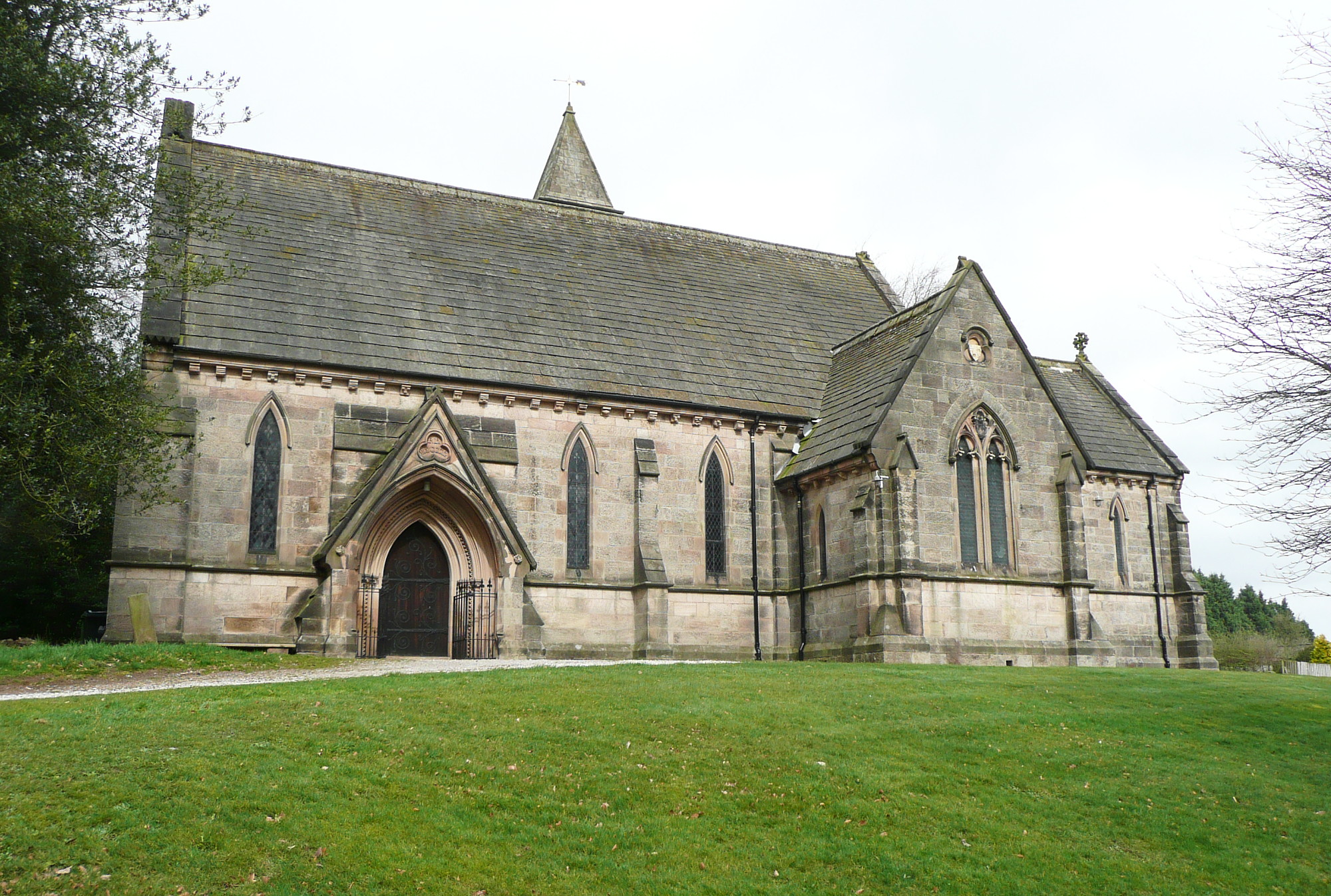
All Saints' Church, Alderwasley
All Saints’ Church, Alderwasley, is a Grade II listed parish church in the Church of England: 55 in Alderwasley, Derbyshire. == History == The church...

Oakhurst House
Oakhurst House is a derelict building in Shining Cliff Woods above the village of Ambergate in Derbyshire. The house was built in 1848 by Francis Hurt...

Alderwasley Hall School
Alderwasley Hall School is a private residential special school. The school is for children and young people aged 5 to 20 with High-Functioning ASD (Autism...

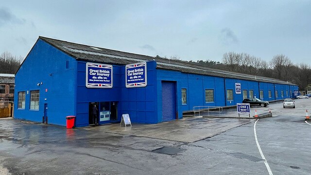
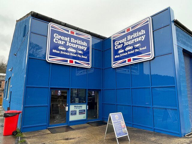
Great British Car Journey
The Great British Car Journey is a car museum in Ambergate, Derbyshire, England. It opened on 22 May 2021. The museum's exhibits consist of over 130 cars...
Alderwasley
Alderwasley ( AL-ərz-LEE) is a village and civil parish in the Amber Valley district of Derbyshire, England. The population of the civil parish as of the...

Cromford Canal
The Cromford Canal ran 14.5 miles (23.3 kilometres) from Cromford to the Erewash Canal in Derbyshire, England with a branch to Pinxton. Built by William...
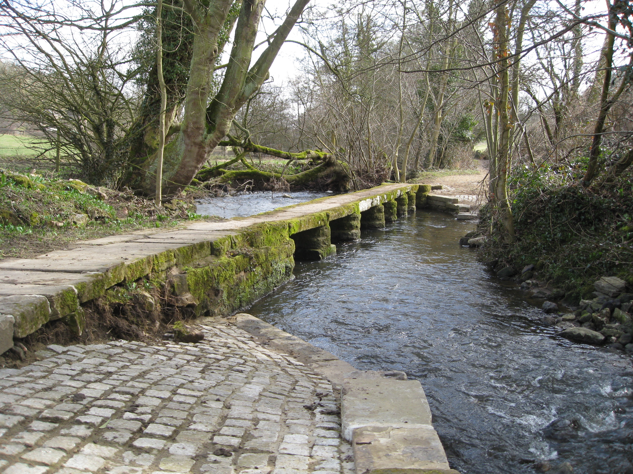
River Amber
The River Amber is a left bank tributary of the River Derwent in Derbyshire, England. It gives its name to the local government district and borough of...
Related Videos
Walking in the Derwent Valley
Derwent Valley Mills is a World Heritage Site along the River Derwent in Derbyshire, England. The modern factory, or 'mill', ...

BULLBRIDGE & FRITCHLEY HIKE || a circular round trip near Belper 🌿
The first walk of the New Year! Link to the walk: https://www.alltrails.com/trail/england/derbyshire/bullbridge-and-fritchley-circular ...

Cromford Canal Walk, English Countryside 4K
https://www.buymeacoffee.com/Daveswalks All support is hugely appreciated and it helps me keep the channel going! No talking ...
135: Whatstandwell, Holloway and Crich Stand (Amber Valley 2020)
AMBER VALLEY WALK FEATURING “WHATSTANDWELL, HOLLOWAY AND CRICH STAND "Whatstandwell, Holloway and ...
Nearby Amenities
Located within 500m of 53.066801,-1.5087976Have you been to Typeclose Plantation?
Leave your review of Typeclose Plantation below (or comments, questions and feedback).