Scorhill Circle
Heritage Site in Devon West Devon
England
Scorhill Circle

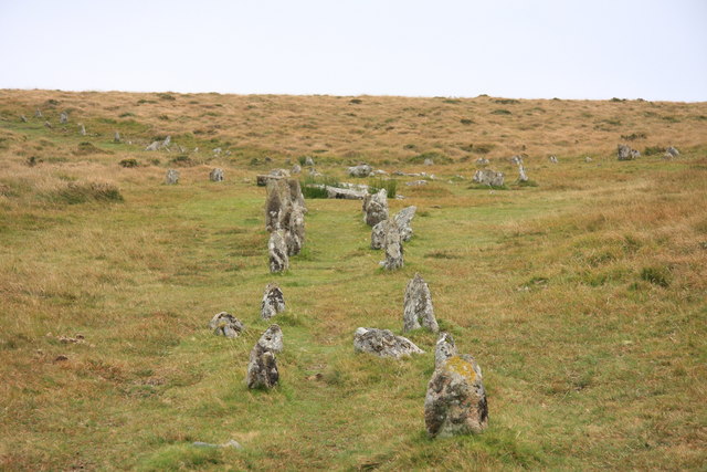
Scorhill Circle is a prehistoric stone circle located in the county of Devon, England. It is situated on Gidleigh Common, near the village of Gidleigh, in the Dartmoor National Park. The circle is a scheduled ancient monument and is considered one of the most impressive and well-preserved stone circles in the region.
Dating back to the late Neolithic or early Bronze Age period, Scorhill Circle consists of 23 granite stones arranged in a circular formation. The stones vary in size, with the tallest standing at approximately 3 meters high. The circle has a diameter of around 26 meters and is surrounded by a low bank made of earth and stones.
The purpose and meaning of Scorhill Circle remain a mystery, as is the case with many other ancient stone circles. However, it is believed that these circles served as ceremonial or religious sites, possibly used for rituals, burials, or astronomical observations.
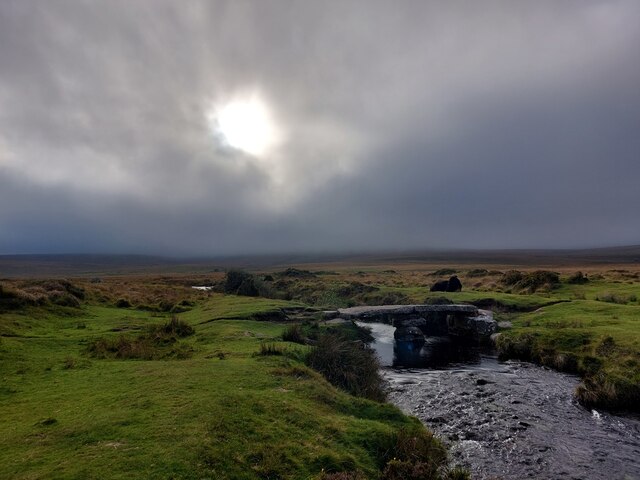
Visitors to Scorhill Circle can experience a sense of awe and wonder, as they are transported back in time to an ancient era. The site offers stunning views of the surrounding Dartmoor landscape, with its rugged moorland and rolling hills.
Access to Scorhill Circle is via a footpath, and there is a small parking area nearby. It is advised to wear appropriate footwear, as the ground can be uneven and boggy in places. The site is popular with both locals and tourists, attracting those interested in history, archaeology, and the mysteries of the ancient world.
If you have any feedback on the listing, please let us know in the comments section below.
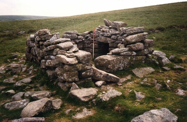
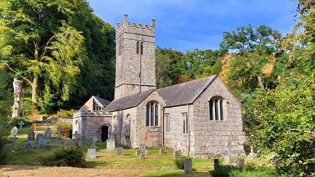
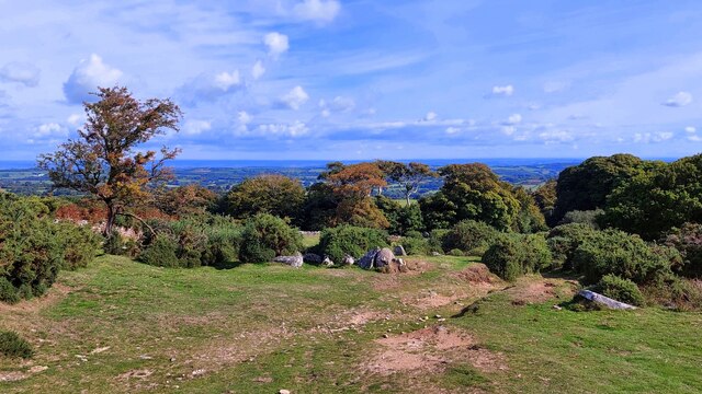
Scorhill Circle Images
Images are sourced within 2km of 50.67/-3.903 or Grid Reference SX6587. Thanks to Geograph Open Source API. All images are credited.


Scorhill Circle is located at Grid Ref: SX6587 (Lat: 50.67, Lng: -3.903)
Administrative County: Devon
District: West Devon
Police Authority: Devon and Cornwall
What 3 Words
///songbook.contexts.costumes. Near Chagford, Devon
Nearby Locations
Related Wikis

Scorhill
Scorhill (pronounced Scorill) Stone Circle is now the commonly known name for Gidleigh Stone Circle or Steep Hill Stone Circle, one of Devon's biggest...
Shovel Down
Shovel Down is an area of Dartmoor in Devon that is covered in megaliths including the remains of several stone rows, the Fourfold Stone Circle, and several...

Gidleigh Castle
Gidleigh Castle was the manor house of the manor of Gidleigh on the north-eastern edge of Dartmoor, about two miles (3.2 km) north-west of the town of...
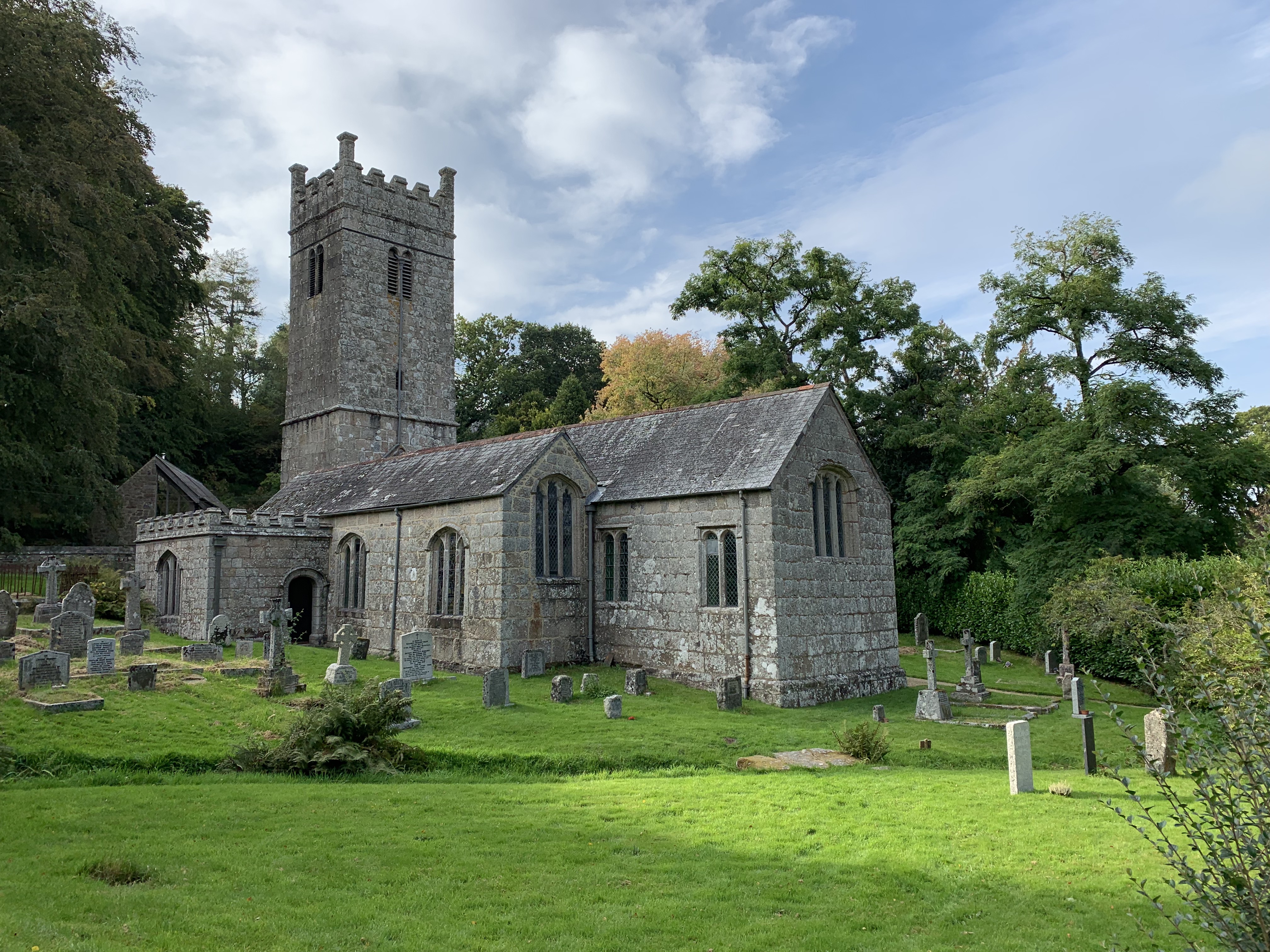
Holy Trinity Church, Gidleigh
Holy Trinity Church, Gidleigh dates from the late 15th-century, and is a Grade I listed parish church in the Church of England Diocese of Exeter in Gidleigh...

Gidleigh
Gidleigh is a village and civil parish in the West Devon district of Devon, England. Located within Dartmoor National Park, the parish is surrounded clockwise...

Gidleigh Park
Gidleigh Park is a hotel and restaurant located in Gidleigh, near Chagford, Devon, England. Chris Eden joined as Executive Head Chef in September 2019...

Frenchbeer
Frenchbeer is a settlement in Devon, England. It is in Dartmoor national park. Fernworthy reservoir is to the south and so is the South Teign river. Chagford...

Central Devon (UK Parliament constituency)
Central Devon is a constituency represented in the House of Commons of the UK Parliament since 2010 by Mel Stride, a Conservative. == History == The constituency...
Nearby Amenities
Located within 500m of 50.67,-3.903Have you been to Scorhill Circle?
Leave your review of Scorhill Circle below (or comments, questions and feedback).