Scotland Corner
Heritage Site in Cornwall
England
Scotland Corner
Scotland Corner is a small village located in the county of Cornwall in southwest England. It is recognized as a heritage site due to its historical significance and well-preserved architecture. The village is nestled in a picturesque countryside setting, surrounded by rolling hills and lush greenery.
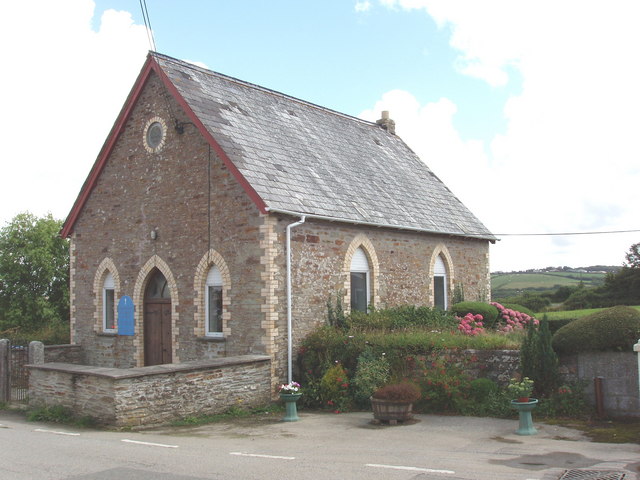
Scotland Corner is known for its quaint charm and traditional Cornish architecture, with many of its buildings dating back several centuries. The village is particularly famous for its historic church, St. Mary's, which stands as a prominent landmark. The church showcases stunning Gothic architecture and is adorned with intricate stone carvings and stained glass windows.
Visitors to Scotland Corner can explore the narrow cobbled streets and admire the well-preserved 16th-century cottages that line the village. Many of these buildings have been converted into charming bed and breakfasts, providing visitors with a unique opportunity to experience the village's rich history and hospitality.
The village is also home to a handful of local shops and traditional pubs, where visitors can sample authentic Cornish cuisine and locally brewed ales. The surrounding countryside offers opportunities for scenic walks and hikes, with several nature trails leading to picturesque viewpoints and hidden gems.
Scotland Corner attracts a mix of history enthusiasts, nature lovers, and those seeking a tranquil retreat away from the bustling cities. Its rich history, stunning architecture, and idyllic setting make it a must-visit destination for anyone exploring the beautiful county of Cornwall.
If you have any feedback on the listing, please let us know in the comments section below.
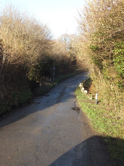
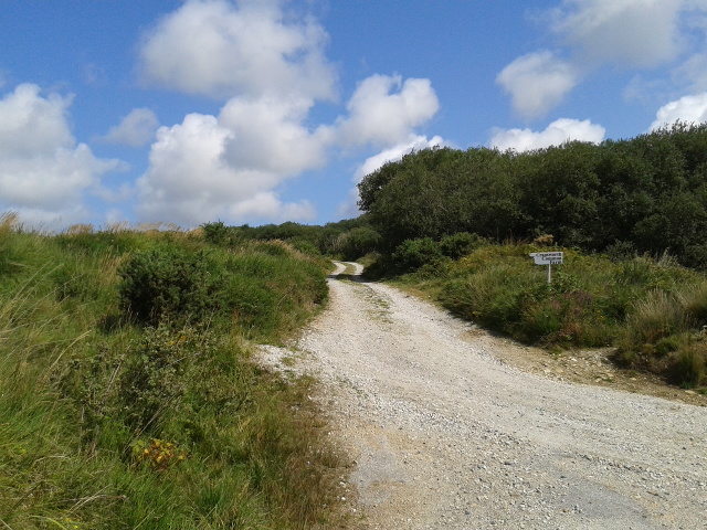
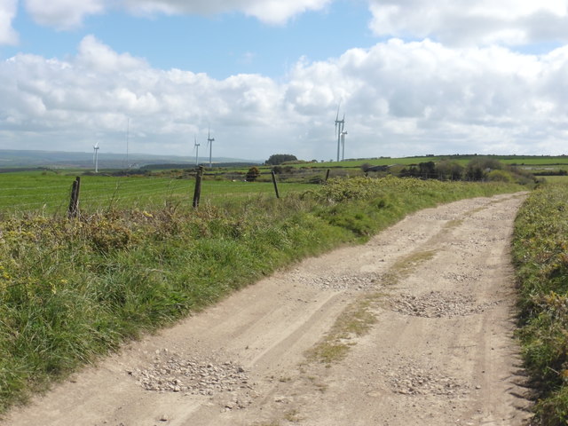
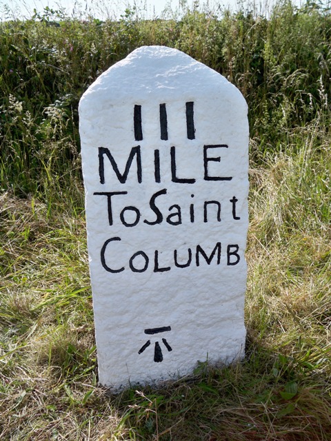
Scotland Corner Images
Images are sourced within 2km of 50.48/-4.897 or Grid Reference SW9468. Thanks to Geograph Open Source API. All images are credited.


Scotland Corner is located at Grid Ref: SW9468 (Lat: 50.48, Lng: -4.897)
Unitary Authority: Cornwall
Police Authority: Devon and Cornwall
What 3 Words
///lofts.collected.lunching. Near Wadebridge, Cornwall
Nearby Locations
Related Wikis

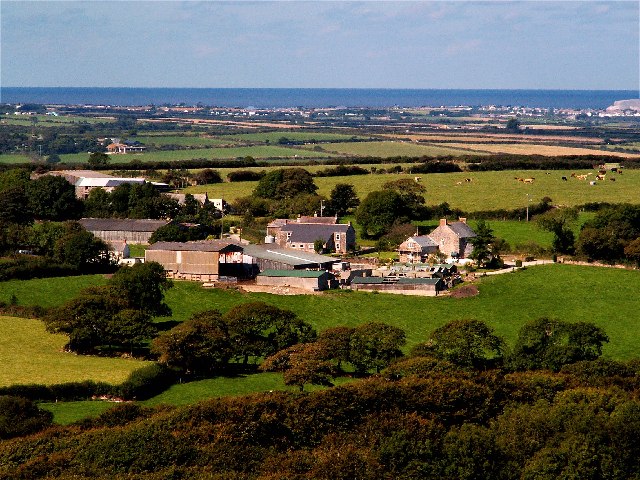
St Jidgey
St Jidgey is a hamlet in mid Cornwall, England, United Kingdom. It lies along the A39 road, north of St Columb Major and southwest of Wadebridge. It contains...
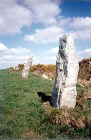
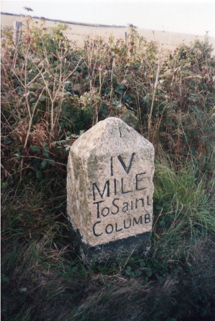
Nine Maidens stone row
Nine Maidens stone row is an ancient monument in the parish of St Columb Major, Cornwall, England. The Nine Maidens (grid reference SW936675) are also...

Rosenannon Downs
Rosenannon Downs is a nature reserve in mid Cornwall, England, UK, being designated Rosenannon Bog and Downs Site of Special Scientific Interest (SSSI...
Higher Cransworth
Higher Cransworth is a hamlet in the parish of St Breock, Cornwall, England. It is in the civil parish of St Wenn == References ==
Cannalidgey
Cannalidgey is a hamlet 3.7 miles (6.0 km) south of Padstow in Cornwall, England. Cannalidgey is in the civil parish of St Issey. It is in the civil parish...
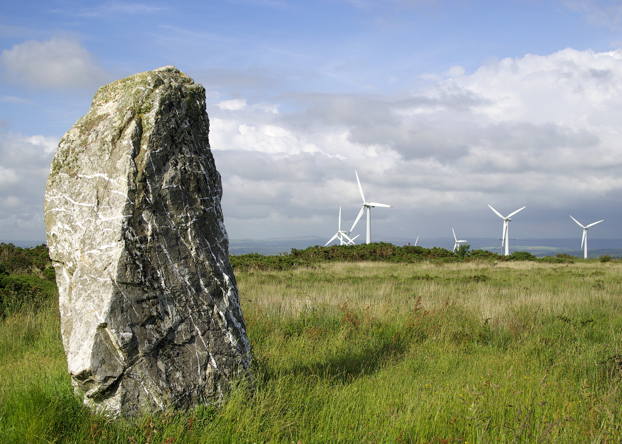
St Breock Downs Monolith
St Breock Downs Monolith (or St Breock Longstone; Cornish: Men Gurta) is the largest and heaviest prehistoric standing stone in Cornwall, England. It stands...

Pawton Quoit
Pawton Quoit is a prehistoric portal dolmen, which dates to the Early and Middle Neolithic period in England (3500–2600 BC). The burial monument is located...
Rosenannon
Rosenannon (Cornish: Ros an Onnen) is a hamlet in Cornwall, England, United Kingdom. It is within the civil parish of St Wenn, 4 miles (6.4 km) south-west...
Related Videos

ExploringTrewince Farm Holiday Park an Idyllic Camping Retreat in Cornwall
camping #trewincefarm #cornwall #travel #travelvlog For our stay in Cornwall we braved a tent in the English summer!

Slipping N Sliding at The GIANT Slip N Slide | VLOG #119 | 13/08/23
The Final Vlog from our holiday from the Cornish County this year! We Finish the holiday with all of us at the GIANT Slip N Slide, ...
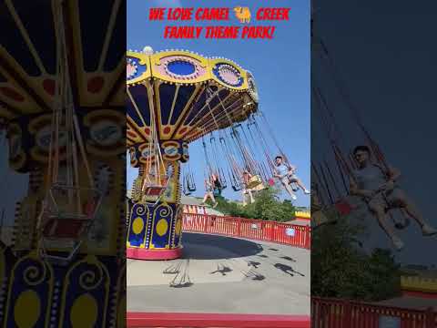
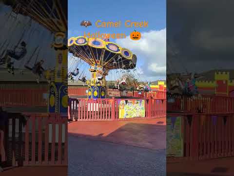
We Love Camel Creek Family Theme Park!
please keep @camelcreekpark open we love it so much!
Nearby Amenities
Located within 500m of 50.48,-4.897Have you been to Scotland Corner ?
Leave your review of Scotland Corner below (or comments, questions and feedback).