Scarfhill Howe

Heritage Site in Yorkshire

England

Scarfhill Howe

Brown Head The remains of Brown Head now visible after tree felling.
Brown Head Credit: T Eyre

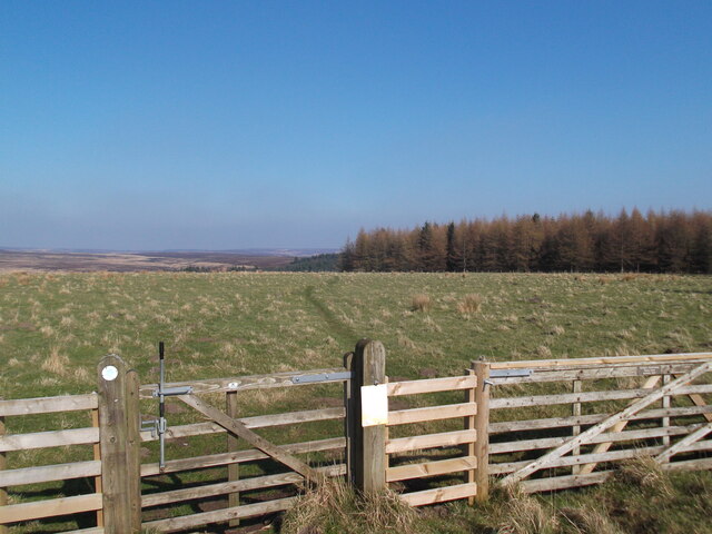
Scarfhill Howe is a Bronze Age burial mound located in Yorkshire, England. It is believed to date back to around 2000-1500 BC and is considered to be an important heritage site in the region. The mound is situated on a hill overlooking the surrounding countryside, providing stunning views of the Yorkshire landscape.

The burial mound is approximately 15 meters in diameter and stands at a height of around 2 meters. It is made up of earth and stones, and is surrounded by a shallow ditch. Excavations at the site have revealed a number of burial chambers containing human remains, pottery, and other artifacts, providing valuable insights into the burial practices and customs of the Bronze Age people who inhabited the area.

Scarfhill Howe is a protected heritage site, managed by local authorities to ensure its preservation for future generations. It is a popular destination for visitors interested in history and archaeology, offering a glimpse into the ancient past of Yorkshire. The site is easily accessible by foot and is a peaceful and picturesque spot for a walk or picnic.

If you have any feedback on the listing, please let us know in the comments section below.

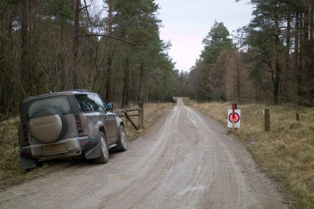
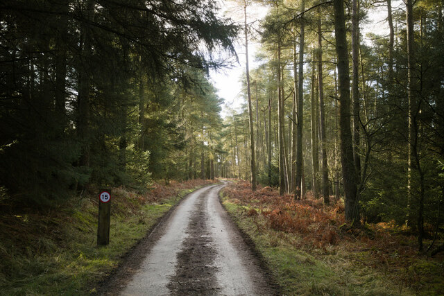
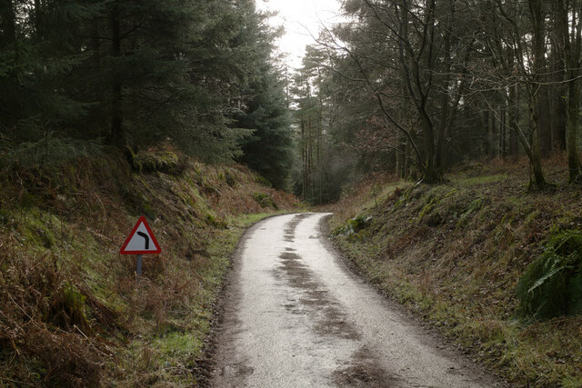
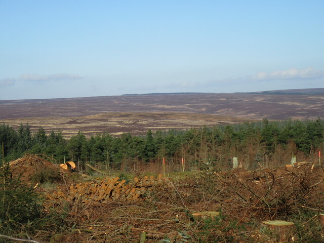
Scarfhill Howe Images

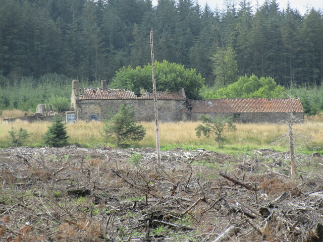
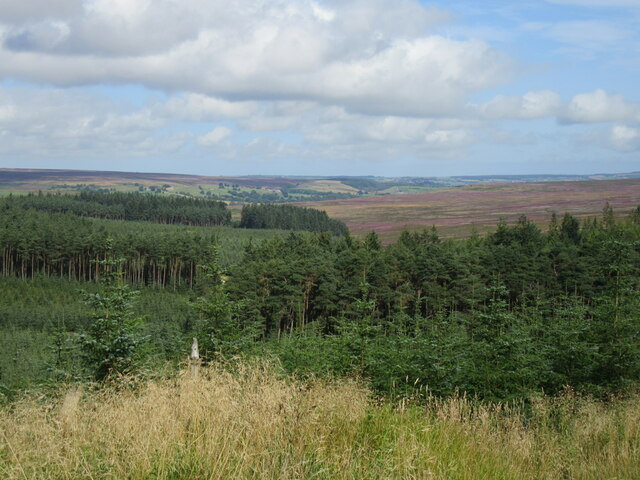
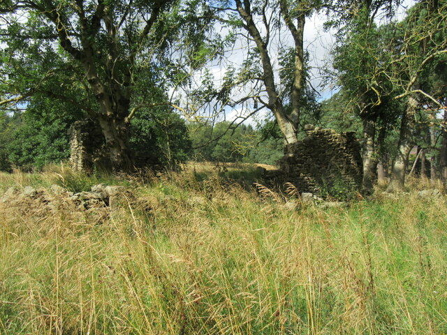
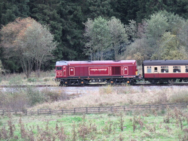
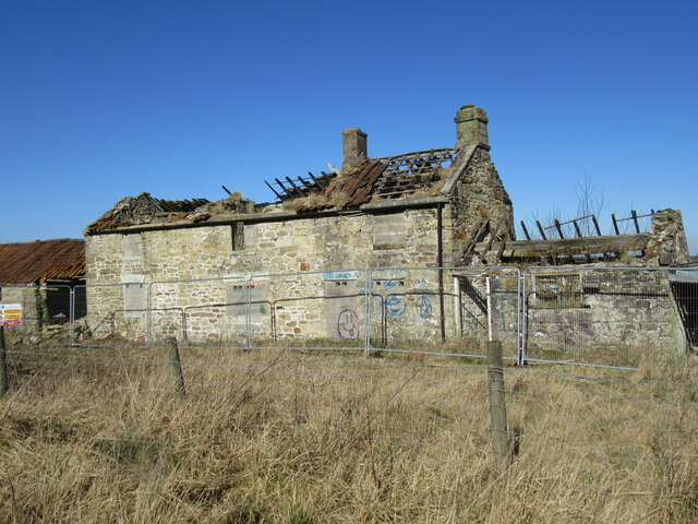
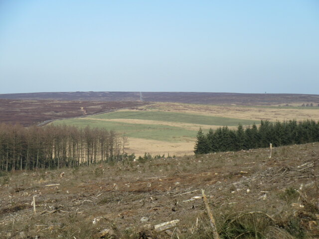
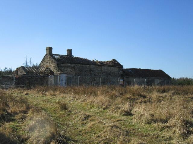
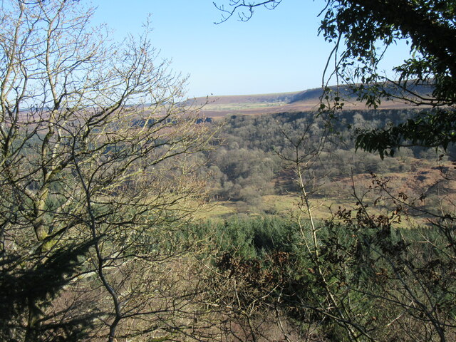
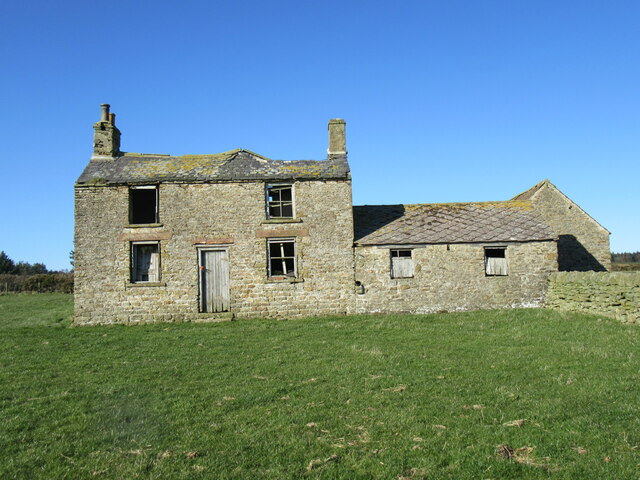
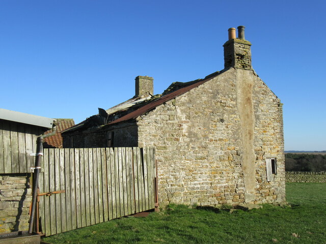
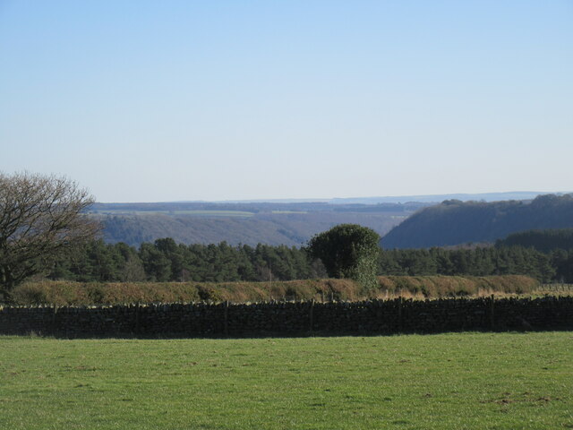
Images are sourced within 2km of 54.34/-0.747 or Grid Reference SE8194. Thanks to Geograph Open Source API. All images are credited.

Brown Head The remains of Brown Head now visible after tree felling.
Brown Head
The remains of Brown Head now visible after tree felling.
Near the hairpin Looking north near the hairpin curve in an area of Cropton Forest that has been cleared of trees.
Near the hairpin
Looking north near the hairpin curve in an area of Cropton Forest that has been cleared of trees.
Wardle Green The ruin of Wardle Green.
Wardle Green
The ruin of Wardle Green.
London Transport locomotive London Transport locomotive with a 5 coach train towards Goathland.
London Transport locomotive
London Transport locomotive with a 5 coach train towards Goathland.
Forest track, Wardle Rigg The track gate has been opened for the Riponian Stages 2022 rally.
Forest track, Wardle Rigg
The track gate has been opened for the Riponian Stages 2022 rally.
Newtondale Forest Drive, Wardle Rigg The road was closed to vehicles in 2011 but it is still used by forestry vehicles and local residents.
Newtondale Forest Drive, Wardle Rigg
The road was closed to vehicles in 2011 but it is still used by forestry vehicles and local residents.
Newtondale Forest Drive descending to Sole Beck The road was closed to vehicles in 2011 but it is still used by forestry vehicles and local residents.
Newtondale Forest Drive descending to Sole Beck
The road was closed to vehicles in 2011 but it is still used by forestry vehicles and local residents.
Blawath Road view Looking NW across Pickering Moor.
Blawath Road view
Looking NW across Pickering Moor.
Kestrel Kestrel perched on a Sitka Spruce tree near Blawath Road.
Kestrel
Kestrel perched on a Sitka Spruce tree near Blawath Road.
Brown Head ruin The trees to the north have been felled since the last visit in February 2016.
Brown Head ruin
The trees to the north have been felled since the last visit in February 2016.
Brown Head view Clearing the forest has allowed for a temporary view to appear towards Wheeldale Moor.
Brown Head view
Clearing the forest has allowed for a temporary view to appear towards Wheeldale Moor.
Brown Head ruin 2 The northern side of Brown Head.
Brown Head ruin 2
The northern side of Brown Head.
View into Newtondale Looking east across Newtondale.
View into Newtondale
Looking east across Newtondale.
Over Blow The roof on the other side has collapsed.
Over Blow
The roof on the other side has collapsed.
Over Blow 2 The western side of Over Blow.
Over Blow 2
The western side of Over Blow.
Over Blow view Looking SE from the abandoned farmhouse of Over Blow.
Over Blow view
Looking SE from the abandoned farmhouse of Over Blow.
Footpath on Wardle Rigg
Zion Farm, Wardle Rigg
Show me another place!

Scarfhill Howe is located at Grid Ref: SE8194 (Lat: 54.34, Lng: -0.747)

Division: North Riding

What 3 Words

///sculpting.jetted.aged. Near Pickering, North Yorkshire

Nearby Locations

Scarfhill Howe

Related Wikis

Newton Dale Halt railway station

Newton Dale Halt railway station is a request stop on the North Yorkshire Moors Railway and serves as a stopping off point for walkers around Newton Dale...

Stape

Stape is a hamlet and civil parish in the Ryedale district of North Yorkshire, England. At the 2011 Census the population was less than 100; details are...

Newton Dale

Newton Dale is a narrow dale within the North York Moors National Park in North Yorkshire, England. It was created by meltwater from a glacier carving...

Hole of Horcum

The Hole of Horcum is a section of the valley of the Levisham Beck, upstream of Levisham and Lockton, in the Tabular Hills of the North York Moors National...

Nearby Amenities

Located within 500m of 54.34,-0.747
Crossing
Lat/Long: 54.3361193/-0.7431176
The data included in this document is from www.openstreetmap.org. The data is made available under ODbL.

Have you been to Scarfhill Howe?

Leave your review of Scarfhill Howe below (or comments, questions and feedback).