Scamridge Dikes

Heritage Site in Yorkshire

England

Scamridge Dikes

View down Oxdale The final Geograph to complete Hectad SE88.
View down Oxdale Credit: Phil Catterall

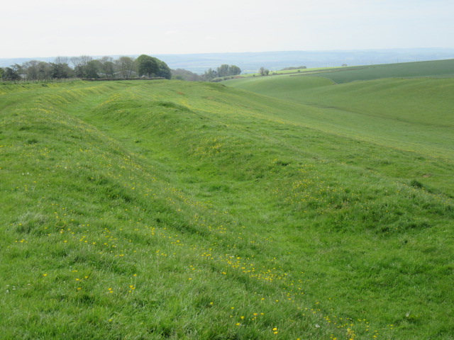
Scamridge Dikes, located in Yorkshire, England, is a historic site that holds significant cultural and heritage value. The dikes, or embankments, were constructed in the medieval period to manage water flow and prevent flooding in the surrounding area. These structures were vital for the agricultural communities living in the region, as they helped to protect crops and livestock from water damage.

The dikes at Scamridge are believed to date back to the 12th century and are constructed from earth and stone. They still stand as a testament to the ingenuity and craftsmanship of the medieval builders who constructed them. The site is also home to a network of drainage channels and sluices, which further demonstrate the advanced engineering techniques used in the area.

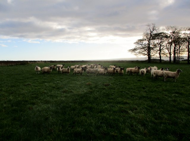
Today, Scamridge Dikes are recognized as a heritage site, providing visitors with a glimpse into the region's rich history and agricultural practices. The site is also important for its ecological value, supporting a variety of plant and animal species. Visitors can explore the dikes and surrounding landscape, learning about the site's historical significance and enjoying the natural beauty of the area.

If you have any feedback on the listing, please let us know in the comments section below.

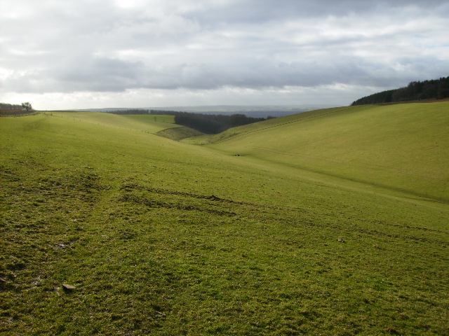
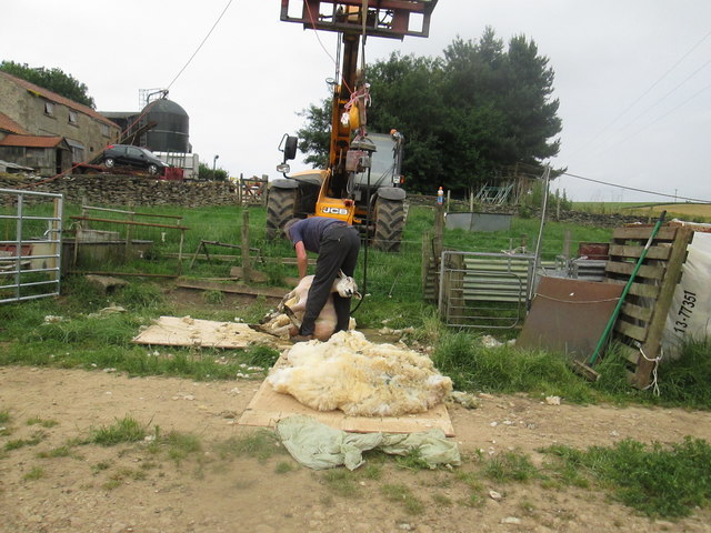
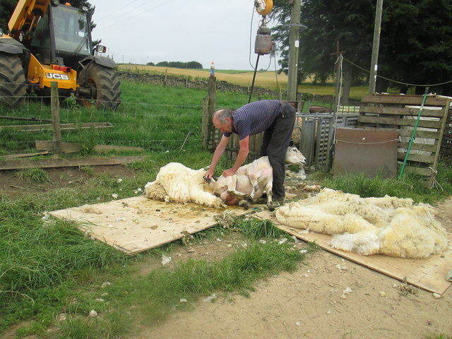
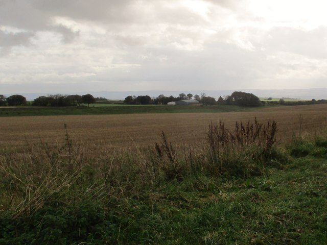
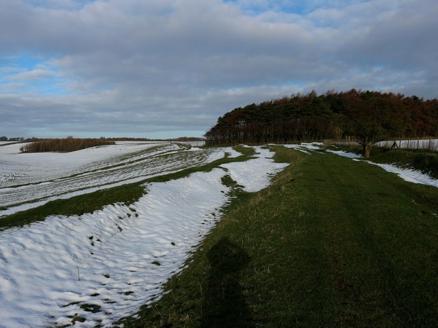
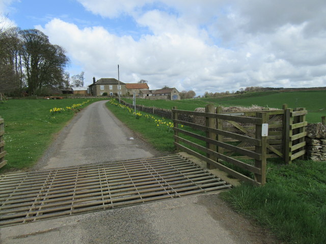
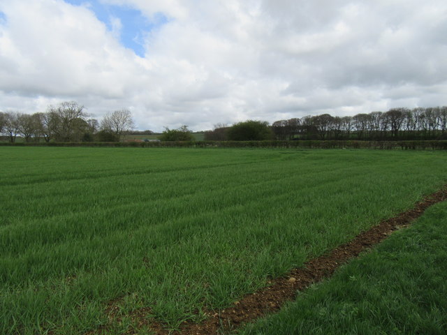
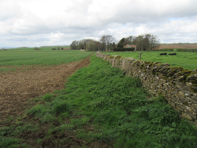
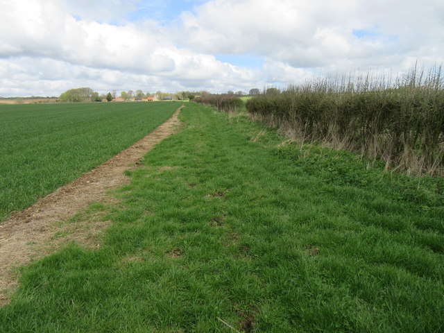
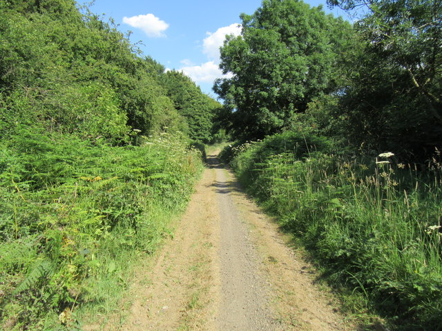
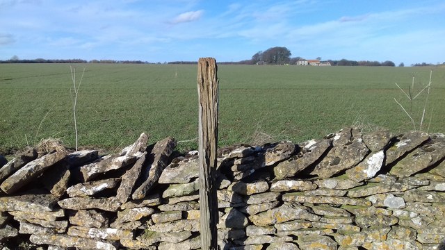
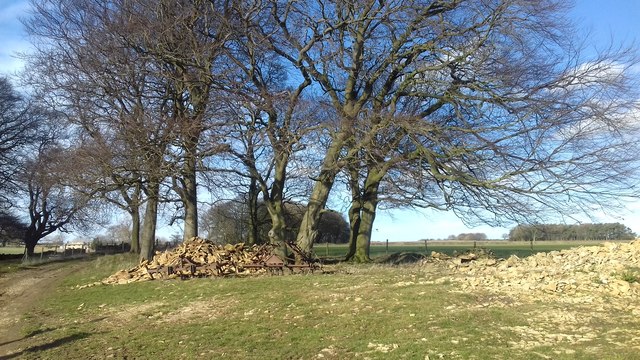
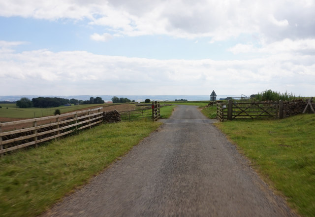
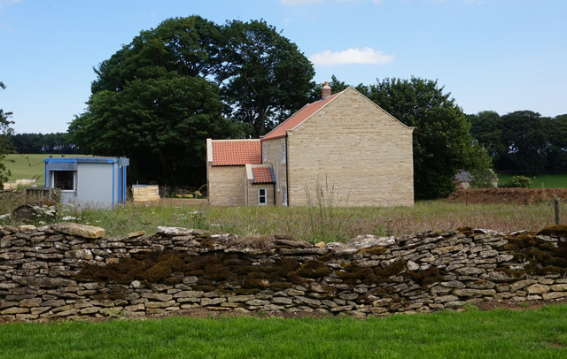
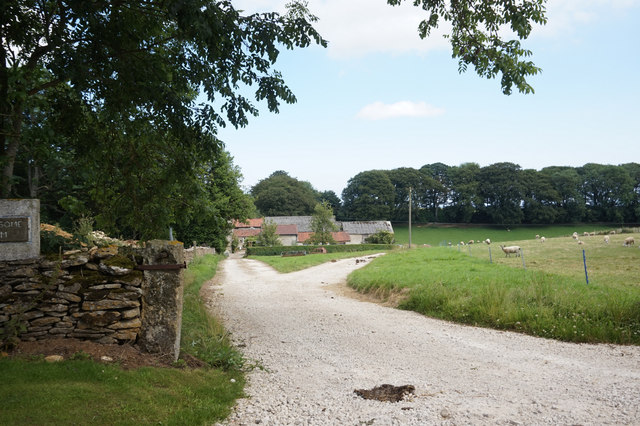
Scamridge Dikes Images

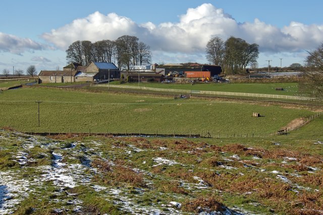
Images are sourced within 2km of 54.257/-0.625 or Grid Reference SE8985. Thanks to Geograph Open Source API. All images are credited.

View down Oxdale The final Geograph to complete Hectad SE88.
View down Oxdale
The final Geograph to complete Hectad SE88.
Sheep  shearing  at  Moorsome  Farm  (1) The motor for the clippers is hung overhead from the arm of the JCB
Sheep shearing at Moorsome Farm (1)
The motor for the clippers is hung overhead from the arm of the JCB
Sheep  shearing  at  Moorsome  Farm  (2) Fleece almost off
Sheep shearing at Moorsome Farm (2)
Fleece almost off
The Ram is now earning his keep The ram is centre stage in this flock at Moorsome Farm, he has his harness on with marker pad which informs the farmer which ewes he has covered, five in this photo have a red patch on their fleece.
The Ram is now earning his keep
The ram is centre stage in this flock at Moorsome Farm, he has his harness on with marker pad which informs the farmer which ewes he has covered, five in this photo have a red patch on their fleece.
Stubble  field  on  Scamridge  toward  Scamridge  Slack On the far side of the slack are the barns of Malton Cote Farm. In the distance over the Vale of Pickering are the Yorkshire Wolds
Stubble field on Scamridge toward Scamridge Slack
On the far side of the slack are the barns of Malton Cote Farm. In the distance over the Vale of Pickering are the Yorkshire Wolds
Netherby Dale Dykes A large linear earthwork which diverges from the Scamridge Dkkes north of Malton Cote Farm. The residual snow emphasises the construction
Netherby Dale Dykes
A large linear earthwork which diverges from the Scamridge Dkkes north of Malton Cote Farm. The residual snow emphasises the construction
Cattle grid Cattle grid at Cockmoor Hall.
Cattle grid
Cattle grid at Cockmoor Hall.
Near Malton Cote Looking NE from the bridleway.
Near Malton Cote
Looking NE from the bridleway.
Malton Cote bridleway A very bumpy cycle route.
Malton Cote bridleway
A very bumpy cycle route.
Fieldside bridleway Looking north.
Fieldside bridleway
Looking north.
Cockmoor plantation Bridleway in Cockmoor Plantation
Cockmoor plantation
Bridleway in Cockmoor Plantation
Random post near Malton Cote Taken from an unclassified road this random post against a stone wall by what must be a fluke is site exactly on the SE91 grid line (according to my GPS)
Random post near Malton Cote
Taken from an unclassified road this random post against a stone wall by what must be a fluke is site exactly on the SE91 grid line (according to my GPS)
Tree, stones and old machinery near Moorsome Farm
Cattle grid on Snainton Lane
New house at Moorsome Farm
Bridleway at Moorsome Farm
Cockmoor Hall
Cockmoor Hall
Scamridge earthworks Very long earthworks near Scamridge.
Scamridge earthworks
Very long earthworks near Scamridge.
Show me another place!

Scamridge Dikes is located at Grid Ref: SE8985 (Lat: 54.257, Lng: -0.625)

Division: North Riding

What 3 Words

///thankful.typified.reviews. Near Thornton Dale, North Yorkshire

Nearby Locations

Scamridge Dikes

Related Wikis

Ebberston Hall

Ebberston Hall is a Grade II* listed country house in Ebberston, North Yorkshire, England. It was constructed during 18th century for William Thompson...

Marske Hall, Richmondshire

Marske Hall is a Grade II* listed country house in Marske, North Yorkshire, England. == History == Markse Hall was bought in 1596 by the then Archbishop...

Dalby Forest

Dalby Forest is a forest located on the southern slopes of the North York Moors National Park in North Yorkshire, England. It is maintained by Forestry...

Ebberston

Ebberston is a village and former civil parish, now in the parish of Ebberston and Yedingham in North Yorkshire, England, and is 34 miles (55 km) east...

Nearby Amenities

Located within 500m of 54.257,-0.625
Place: farm
Lat/Long: 54.2600423/-0.6242551
Passing Place
Lat/Long: 54.2576897/-0.6199911
The data included in this document is from www.openstreetmap.org. The data is made available under ODbL.

Have you been to Scamridge Dikes?

Leave your review of Scamridge Dikes below (or comments, questions and feedback).