Saxonbury

Heritage Site in Sussex Wealden

England

Saxonbury

Barn
Barn Credit: Oast House Archive

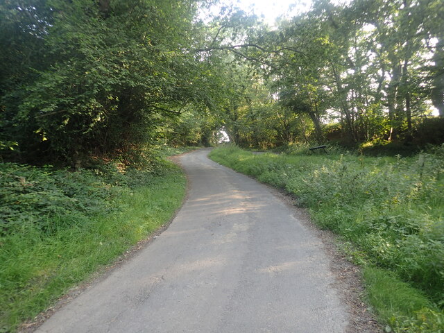
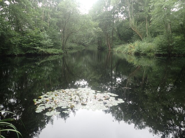
Saxonbury, located in Sussex, England, is a renowned heritage site that offers visitors a captivating glimpse into the rich history and cultural heritage of the region. The site itself holds immense historical significance, dating back several centuries. Saxonbury is nestled amidst picturesque countryside, surrounded by rolling hills and lush greenery, creating a serene and idyllic setting.

The main attraction of Saxonbury is its ancient Saxon burial mound, which is believed to be over a thousand years old. The burial mound stands as a testament to the area's ancient inhabitants and their burial rituals, offering a fascinating insight into the lives of those who lived in Sussex during that era.

Visitors to Saxonbury can explore the burial mound and observe its unique architecture, which showcases the remarkable engineering skills of the Saxons. The site also boasts a small museum, housing a collection of artifacts discovered during archaeological excavations in the surrounding area. These artifacts include pottery, jewelry, and tools, providing a tangible link to the past.

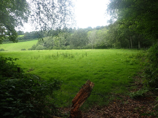
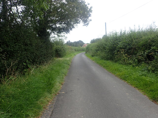
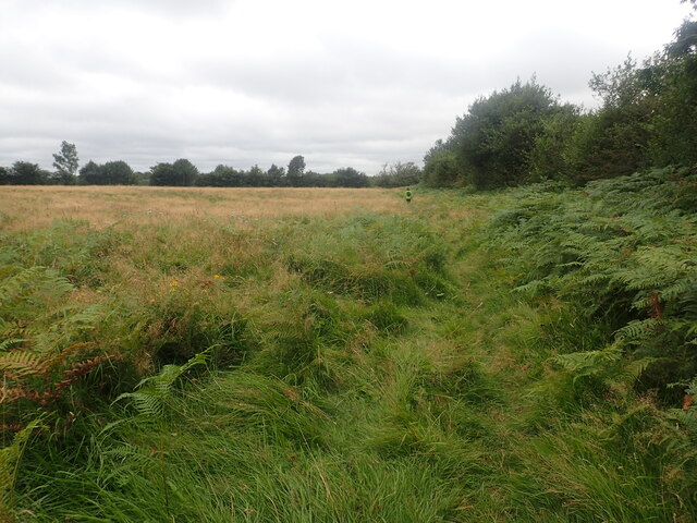
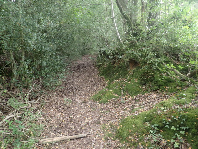
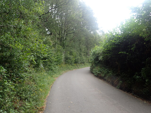
Nature enthusiasts will also appreciate the natural beauty of Saxonbury, as the site is home to diverse flora and fauna. The surrounding countryside offers numerous walking trails, allowing visitors to immerse themselves in the tranquil ambiance while enjoying breathtaking views of the Sussex landscape.

Saxonbury is a must-visit destination for history buffs, archaeology enthusiasts, and nature lovers alike. Its rich historical significance, coupled with its scenic surroundings, creates an enchanting experience that appeals to a wide range of interests.

If you have any feedback on the listing, please let us know in the comments section below.
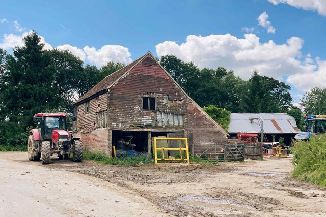
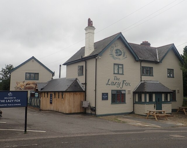
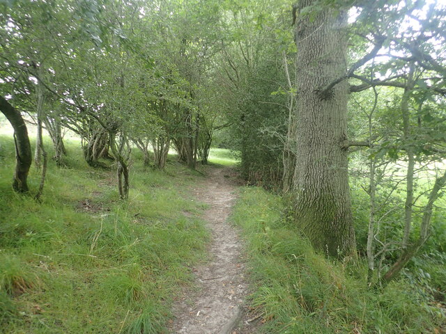
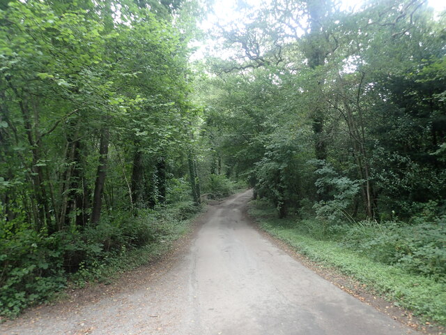
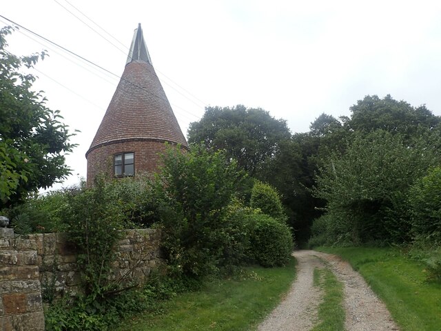
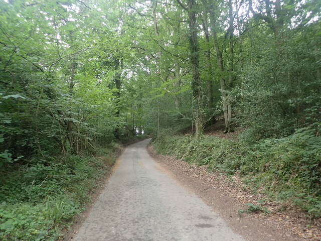
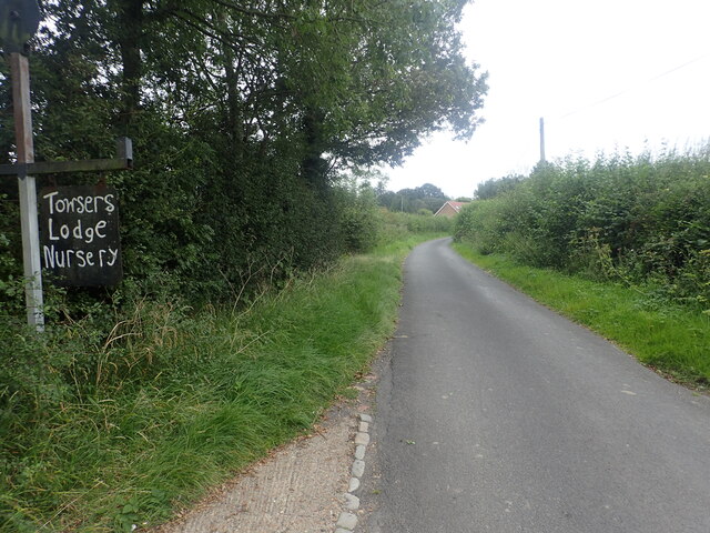
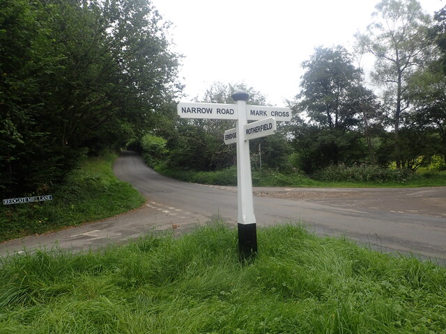
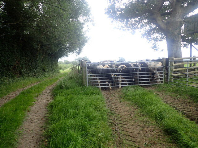
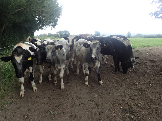
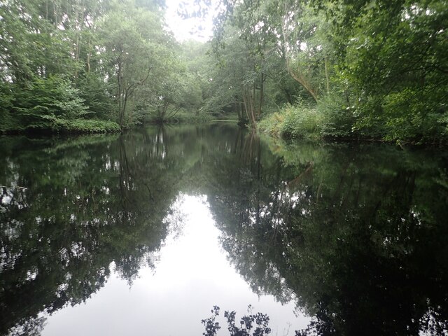
Saxonbury Images

Images are sourced within 2km of 51.07/0.248 or Grid Reference TQ5732. Thanks to Geograph Open Source API. All images are credited.

The Lazy Fox at Mark Cross This is a most unusual name for a pub. More about the village can be seen at <span class="nowrap"><a title="http://www.markcross.org.uk/history.htm" rel="nofollow ugc noopener" href="http://www.markcross.org.uk/history.htm">Link</a><img style="margin-left:2px;" alt="External link" title="External link - shift click to open in new window" src="https://s1.geograph.org.uk/img/external.png" width="10" height="10"/></span>
The Lazy Fox at Mark Cross
This is a most unusual name for a pub. More about the village can be seen at LinkExternal link
Footpath to Brickyard Lane This is the footpath from Mark Cross to Brickyard Lane where it passes through a small woodland.
Footpath to Brickyard Lane
This is the footpath from Mark Cross to Brickyard Lane where it passes through a small woodland.
Brickyard Lane Brickyard Lane drops down ahead to cross a stream which is a tributary of Eridge Brook. Entryhill Wood is to the left.
Brickyard Lane
Brickyard Lane drops down ahead to cross a stream which is a tributary of Eridge Brook. Entryhill Wood is to the left.
View from the edge of Card's Wood The footpath from Brickyard Lane through Card's Wood emerges here, just before Blackdown Lane is reached.
View from the edge of Card's Wood
The footpath from Brickyard Lane through Card's Wood emerges here, just before Blackdown Lane is reached.
Oast house at Great Hedges Farm This view is from a bridleway leading up from Brickyard Lane. For more information about the oast and for a photograph on a better day see <a title="https://www.geograph.org.uk/photo/1803085" href="https://www.geograph.org.uk/photo/1803085">Link</a>
Oast house at Great Hedges Farm
This view is from a bridleway leading up from Brickyard Lane. For more information about the oast and for a photograph on a better day see Link
Brickyard Lane Entryhill Wood is to the right. A footpath from Mark Cross crosses the road here. For the view in the other direction see <a title="https://www.geograph.org.uk/photo/6950574" href="https://www.geograph.org.uk/photo/6950574">Link</a>
Brickyard Lane
Entryhill Wood is to the right. A footpath from Mark Cross crosses the road here. For the view in the other direction see Link
Brickyard Lane The A267 and Mark Cross are reached just ahead.
Brickyard Lane
The A267 and Mark Cross are reached just ahead.
Brickyard Lane The A267 and Mark Cross are reached just ahead.
Brickyard Lane
The A267 and Mark Cross are reached just ahead.
Footpath to Brickyard Lane This is the footpath from Mark Cross to Brickyard Lane just before Stonehouse Farm is reached.
Footpath to Brickyard Lane
This is the footpath from Mark Cross to Brickyard Lane just before Stonehouse Farm is reached.
Footpath into Card's Wood This is just after the footpath leaves Cowford Bridge Lane near the crossroads with Eridge Lane and Hackdon Hill.
Footpath into Card's Wood
This is just after the footpath leaves Cowford Bridge Lane near the crossroads with Eridge Lane and Hackdon Hill.
Cowford Bridge Lane near Card's Wood This is just east of the crossroads with Eridge Lane and Hackdon Hill. A footpath leaves on the left just ahead and heads into Card's Wood - see <a title="https://www.geograph.org.uk/photo/6951285" href="https://www.geograph.org.uk/photo/6951285">Link</a>
Cowford Bridge Lane near Card's Wood
This is just east of the crossroads with Eridge Lane and Hackdon Hill. A footpath leaves on the left just ahead and heads into Card's Wood - see Link
Crossroads near Card's Wood This is just west of Card's Wood. Eridge Lane is behind on the right and Hackdon Hill is straight ahead. As can be seen, Redgate Mill Lane is on the left and the lane on the right leading to Card's Wood is Cowford Bridge Lane.
Crossroads near Card's Wood
This is just west of Card's Wood. Eridge Lane is behind on the right and Hackdon Hill is straight ahead. As can be seen, Redgate Mill Lane is on the left and the lane on the right leading to Card's Wood is Cowford Bridge Lane.
Bullocks next to a footpath The footpath leads from the A267 at Pococksgate to Down Lane. The bullocks had all come down to see what was going on as we passed by.
Bullocks next to a footpath
The footpath leads from the A267 at Pococksgate to Down Lane. The bullocks had all come down to see what was going on as we passed by.
Lake in Blackpit Wood The lake is seen here from the footpath near Renhurst Farm.
Lake in Blackpit Wood
The lake is seen here from the footpath near Renhurst Farm.
Triangular junction at Danegate There is a triangular junction where Danegate meets Sham Farm Road and Blackdon Hill. This view looks up from Danegate to Blackdon Hill. The triangle is on the right.
Triangular junction at Danegate
There is a triangular junction where Danegate meets Sham Farm Road and Blackdon Hill. This view looks up from Danegate to Blackdon Hill. The triangle is on the right.
Lake in Blackpit Wood The lake is seen here from the footpath between Mark Cross and Renhurst Farm.
Lake in Blackpit Wood
The lake is seen here from the footpath between Mark Cross and Renhurst Farm.
Show me another place!

Saxonbury is located at Grid Ref: TQ5732 (Lat: 51.07, Lng: 0.248)

Administrative County: East Sussex

District: Wealden

Police Authority: Sussex

What 3 Words

///smuggled.behaving.retire. Near Town Row, East Sussex

Related Wikis

Walter's Mill, Mark Cross

Walter's Mill is a tower mill at Mark Cross, Sussex, England which has been converted to residential accommodation. == History == Walter's Mill was first...

St Joseph's College, Mark Cross

St Joseph's College was a Roman Catholic minor seminary in Mark Cross, outside Rotherfield in East Sussex. It was designed by Edward Pugin and the site...

Jameah Islameah School

Jameah Islameah School was an independent Islamic school in East Sussex. The school was located on a 54 acre site and had residential facilities to house...

Eridge Park

Eridge Park () is a village and historic park located north of the parish of Rotherfield, to the north-east of Crowborough in East Sussex, England. The...

Rotherfield and Mark Cross railway station

Rotherfield and Mark Cross (also Rotherfield) is the name of a closed station on the Eridge - Heathfield - Polegate railway (the Cuckoo Line) in East Sussex...

Frant

Frant is a village and civil parish in the Wealden District of East Sussex, England, on the Kentish border about three miles (5 km) south of Royal Tunbridge...

Rotherfield

Rotherfield is a village and civil parish in the Wealden District of East Sussex, England. It is one of the largest parishes in East Sussex. There are...

Bowles Rocks

Bowles Rocks is a sandstone crag in the county of East Sussex, on the border with Kent, approximately 8 kilometres (5 mi) south of the town of Royal Tunbridge...

Nearby Amenities

Located within 500m of 51.07,0.248
Towsers Lodge Farm
Addr City: Crowborough
Addr Hamlet: Mark Cross
Addr Postcode: TN6 3NU
Addr Street: Brickyard Lane
Place: farm
Lat/Long: 51.067793/0.2526104
Green Hedges Farm
Addr City: Crowborough
Addr Hamlet: Mark Cross
Addr Postcode: TN6 3PA
Place: isolated_dwelling
Lat/Long: 51.0694532/0.2484235
The data included in this document is from www.openstreetmap.org. The data is made available under ODbL.

Have you been to Saxonbury?

Leave your review of Saxonbury below (or comments, questions and feedback).