Saxon Cottage, Steyning
Heritage Site in Sussex Horsham
England
Saxon Cottage, Steyning

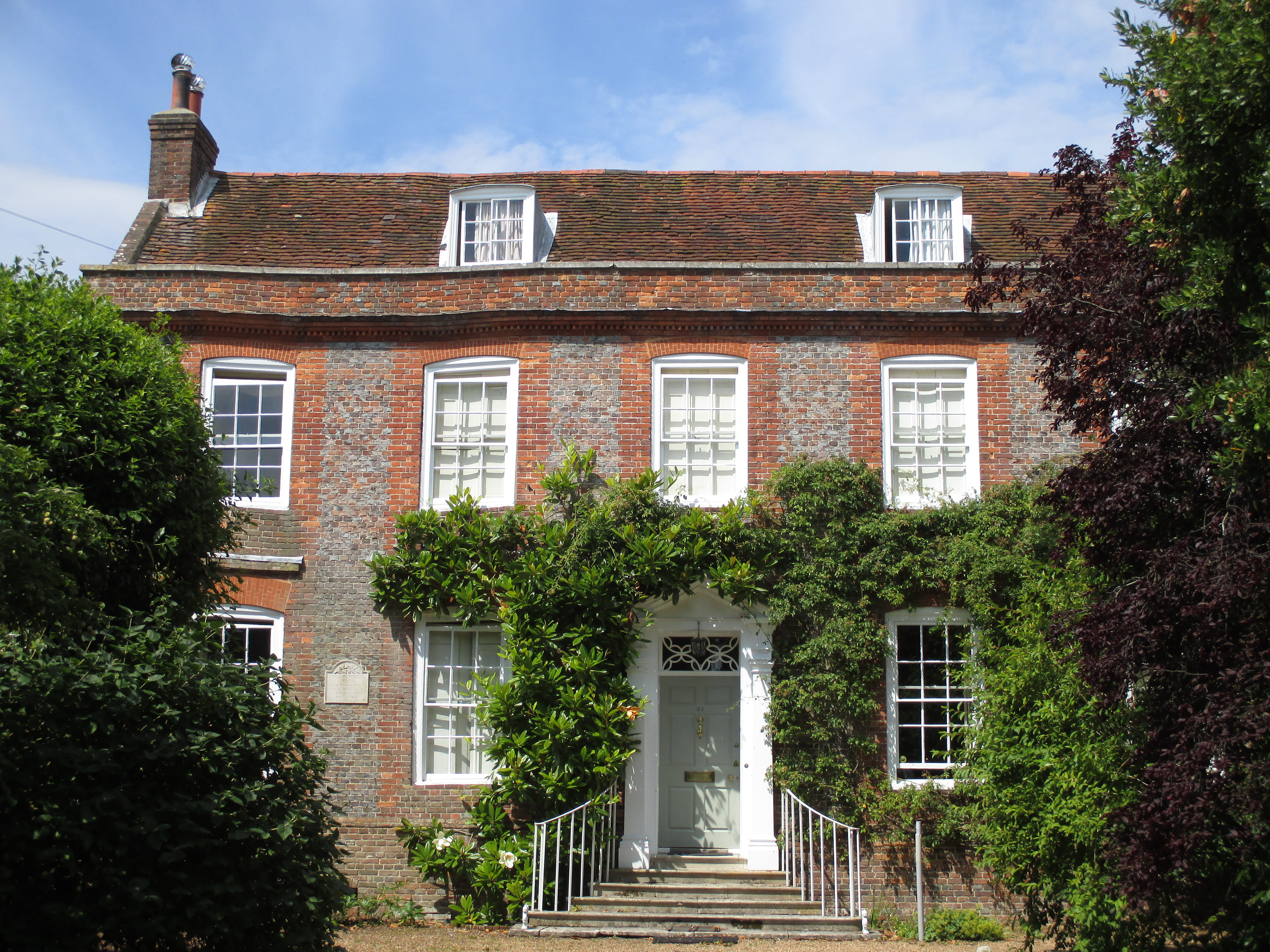
Saxon Cottage, located in Steyning, Sussex, is a historically significant heritage site that dates back to the Saxon period. This charming cottage is renowned for its well-preserved architecture and significant cultural value.
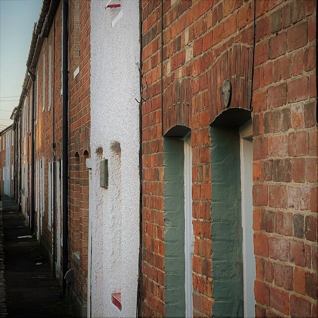
Built in the 9th century, Saxon Cottage is a prime example of Saxon architecture in England. The cottage features timber framing with wattle and daub infill, showcasing the traditional building techniques of the time. The thatched roof adds to its rustic charm and authenticity.
The cottage is a single-story structure, with a small living space and a thatched extension at the rear. The interior of the cottage boasts original features, including exposed beams, open fireplaces, and low ceilings, providing a glimpse into the lifestyle of the inhabitants from centuries ago.
Over the years, Saxon Cottage has undergone careful restoration and maintenance to preserve its historical integrity. The building has been recognized as a Grade II listed property, acknowledging its architectural and cultural significance.
Saxon Cottage is not open to the public, as it is a private residence. However, its exterior can be appreciated by visitors who pass by or explore the charming town of Steyning. The cottage serves as a reminder of the rich history and cultural heritage of the area, offering a glimpse into the lives of the people who once called it home.
If you have any feedback on the listing, please let us know in the comments section below.
Saxon Cottage, Steyning Images
Images are sourced within 2km of 50.889/-0.327 or Grid Reference TQ1711. Thanks to Geograph Open Source API. All images are credited.


Saxon Cottage, Steyning is located at Grid Ref: TQ1711 (Lat: 50.889, Lng: -0.327)
Administrative County: West Sussex
District: Horsham
Police Authority: Sussex
What 3 Words
///fillings.assemble.straddled. Near Steyning, West Sussex
Nearby Locations
Related Wikis
Chantry House, Steyning
The Chantry House is a house at 34 Church Street, Steyning, West Sussex, England It is a Grade II* listed building, built in the 18th century.There is...

Old Town Hall, Steyning
The Old Town Hall is a municipal building in The High Street in Steyning, West Sussex, England. The building, which was used as a courthouse and a public...
Steyning Methodist Church
Steyning Methodist Church is a Methodist place of worship serving Steyning and surrounding villages in the Horsham district of West Sussex, England. Built...
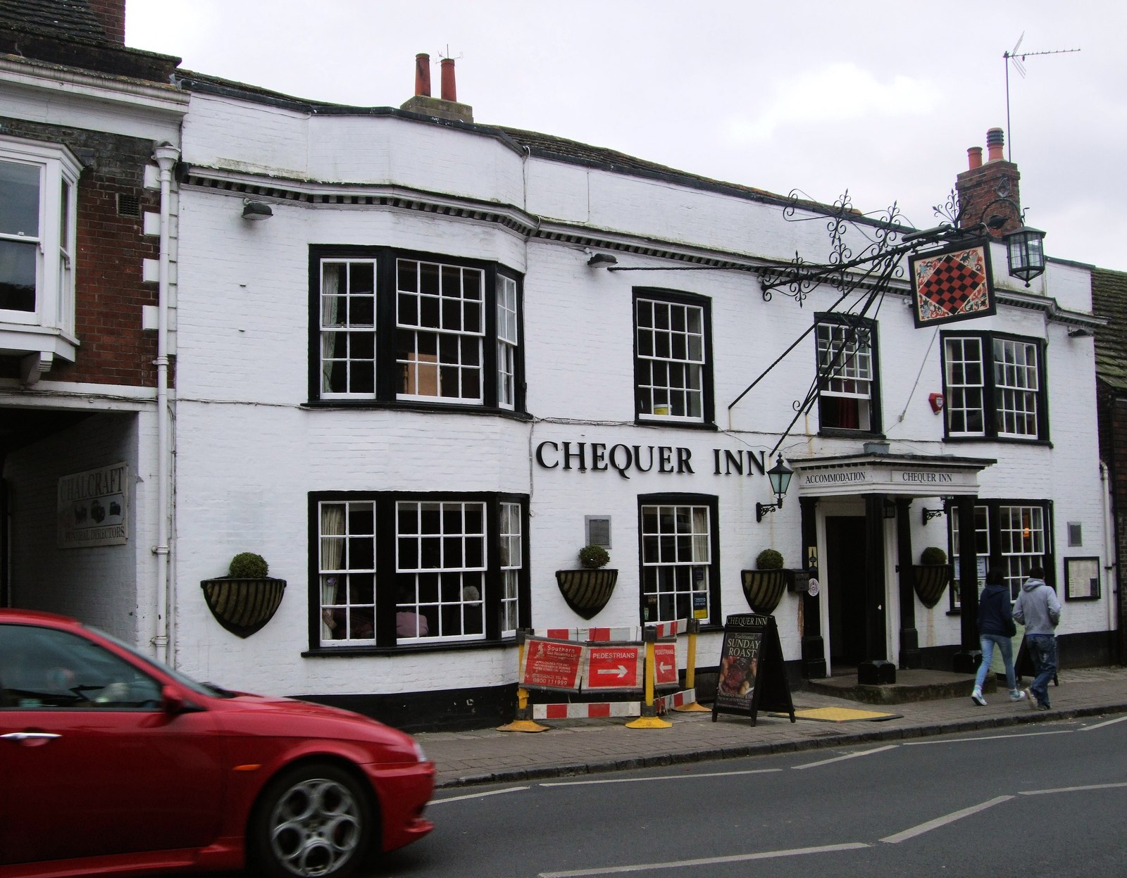
Chequer Inn
The Chequer Inn is a historic 15th Century coaching house (believed to date from around 1440) in the Conservation Area of the old market town of Steyning...
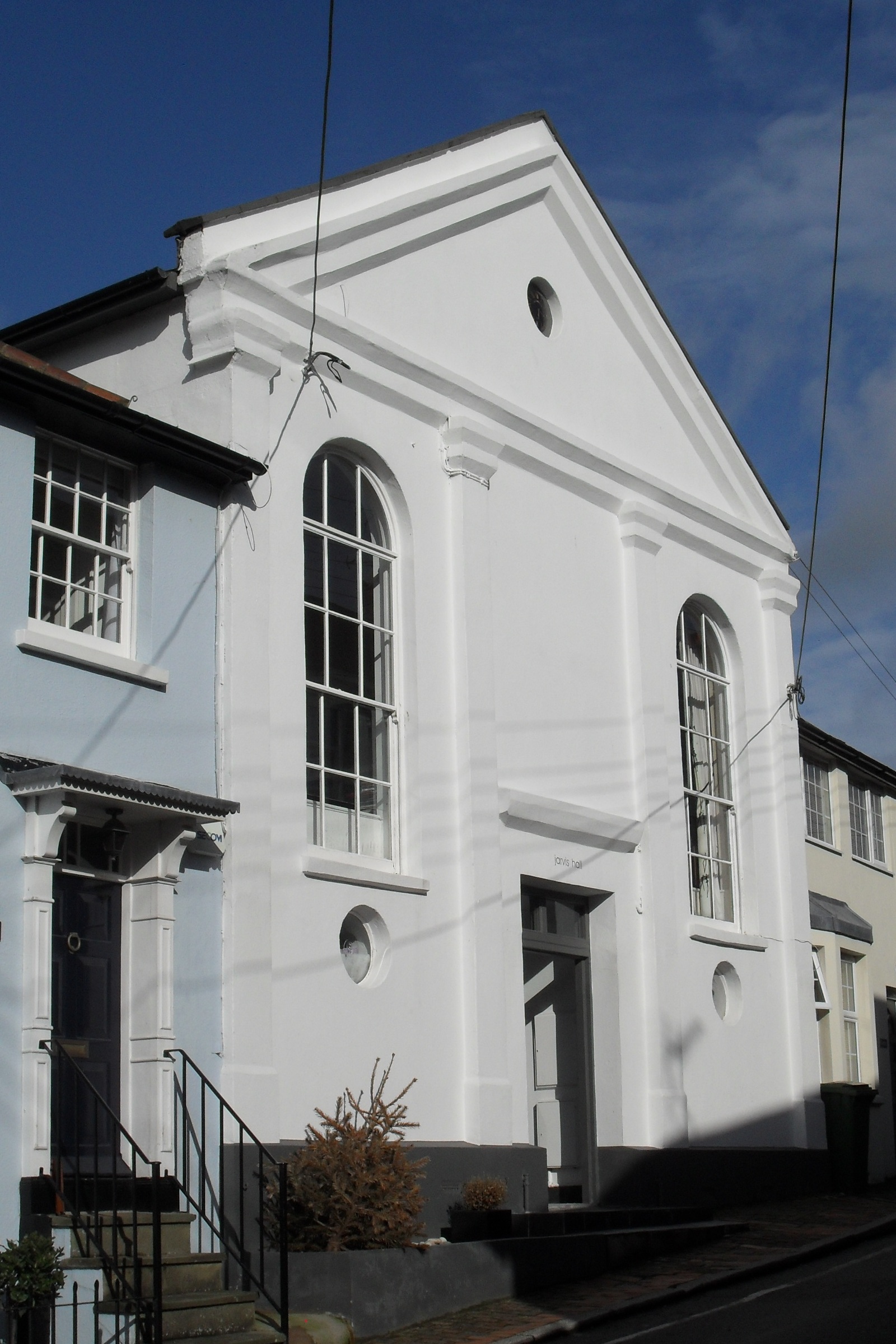
Jarvis Hall, Steyning
Jarvis Hall is a former Nonconformist chapel in the village of Steyning, in the Horsham district of the English county of West Sussex. Since its construction...

Steyning
Steyning ( STEN-ing) is a town and civil parish in the Horsham district of West Sussex, England. It is located at the north end of the River Adur gap in...

Steyning Town F.C.
Steyning Town Community Football Club is a football club based in Steyning, West Sussex, England. The club is an FA Charter Standard community club,...
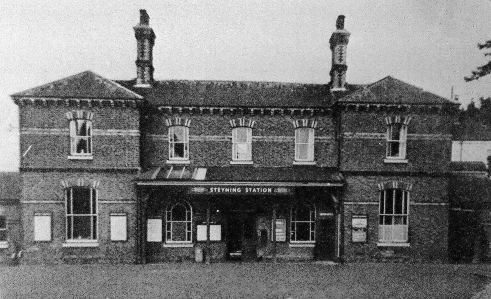
Steyning railway station
Steyning railway station was on the Steyning Line which served the small market town of Steyning. == Station opening and development == The arrival of...
Nearby Amenities
Located within 500m of 50.889,-0.327Have you been to Saxon Cottage, Steyning?
Leave your review of Saxon Cottage, Steyning below (or comments, questions and feedback).