Scargill Castle

Heritage Site in Yorkshire

England

Scargill Castle

Nameless reservoir Although larger than many others, this area of water only appears on the drainage map and not on the 1:25000 map. I wonder if there is a reason for its non-appearance.
Nameless reservoir Credit: David Brown

Scargill Castle is a historic site located in the picturesque countryside of Yorkshire, England. This medieval castle holds a significant place in the region's heritage and offers visitors a glimpse into the past.

Built in the 12th century, Scargill Castle stands proudly on a hilltop, surrounded by breathtaking views of the surrounding landscape. The castle was originally constructed as a fortified manor house and has since undergone various modifications and additions over the centuries. Despite its age, the castle has been well-preserved and showcases the architectural style of its time.

The castle is a prime example of a motte-and-bailey design, with a large mound (motte) serving as the main fortification, and a lower courtyard (bailey) enclosed by a protective wall. The motte features the remains of a stone tower, which once served as the living quarters for the castle's inhabitants.

Visitors to Scargill Castle can explore the castle grounds, which include the motte, bailey, and remnants of other structures such as the gatehouse and defensive walls. The site provides an opportunity to imagine what life was like during the castle's heyday.

Scargill Castle is also surrounded by a beautiful landscape, offering visitors the chance to enjoy leisurely walks and appreciate the stunning countryside. The site is a popular destination for history enthusiasts, photographers, and nature lovers alike.

Overall, Scargill Castle is a cherished heritage site in Yorkshire, providing a fascinating glimpse into the region's rich history and offering visitors a chance to immerse themselves in the beauty of the English countryside.

If you have any feedback on the listing, please let us know in the comments section below.

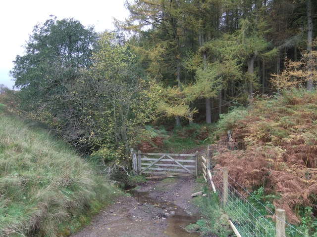
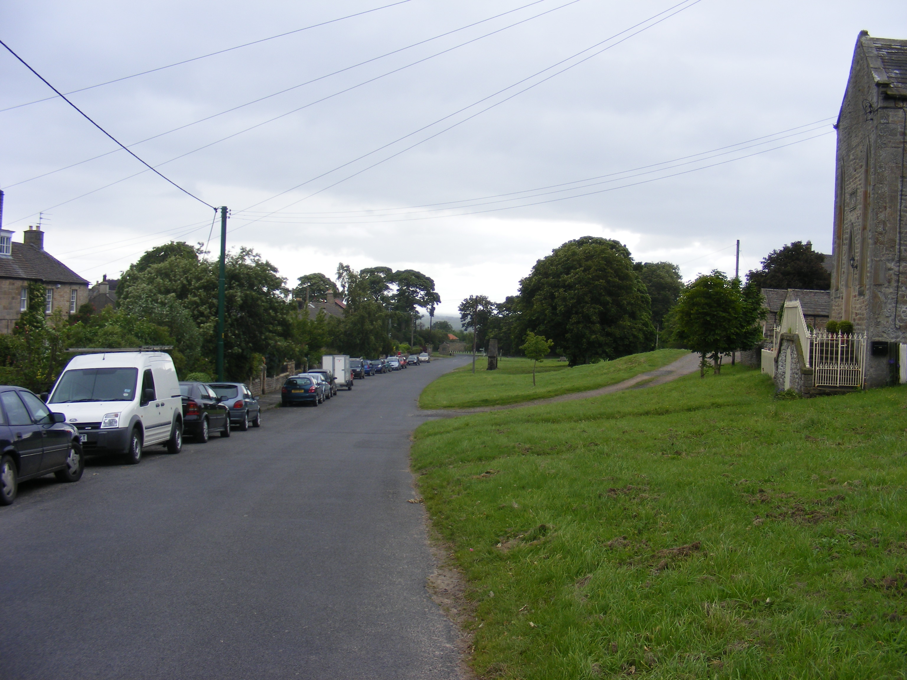
Scargill Castle Images

Images are sourced within 2km of 54.49/-1.915 or Grid Reference NZ0510. Thanks to Geograph Open Source API. All images are credited.

Nameless reservoir Although larger than many others, this area of water only appears on the drainage map and not on the 1:25000 map. I wonder if there is a reason for its non-appearance.
Nameless reservoir
Although larger than many others, this area of water only appears on the drainage map and not on the 1:25000 map. I wonder if there is a reason for its non-appearance.
Scale Knott Gill leaves the reservoir
Haythwaite Farm
Haythwaite Farm
Woodclose Gill
Woodclose Gill
Gordale Gill Road crossing Gordale Gill near Crossbeck Bridge.
Gordale Gill
Road crossing Gordale Gill near Crossbeck Bridge.
Bragg House Bragg House on the edge of Barningham  Moor.
Bragg House
Bragg House on the edge of Barningham Moor.
Haythwaite Haythwaite Farm.
Haythwaite
Haythwaite Farm.
Scale Knoll Gill Footbridge and ford crossing Scale Knoll Gill.
Scale Knoll Gill
Footbridge and ford crossing Scale Knoll Gill.
Scale Knoll Moorland at Scale Knoll.
Scale Knoll
Moorland at Scale Knoll.
Scale Knoll Track at Scale Knoll on Barningham Moor.
Scale Knoll
Track at Scale Knoll on Barningham Moor.
Scale Knoll Trailer alongside the track at Scale Knoll.
Scale Knoll
Trailer alongside the track at Scale Knoll.
Erect stone with waymark on Barningham Moor Barningham Moor lies to the west of Barningham village. The image was recorded during a walk attempting to follow a public bridleway across the moor; evidence of the route on the ground was scant and the stone seen here was thought to be a sign that we were on the way but a GPS reading showed that we were slightly to the north of it... or the reading was inaccurate. (Note: a similar discrepancy was discovered elsewhere along the route - <a title="https://www.geograph.org.uk/photo/3494497" href="https://www.geograph.org.uk/photo/3494497">Link</a> .) Stang Forest lies in the distance.
Erect stone with waymark on Barningham Moor
Barningham Moor lies to the west of Barningham village. The image was recorded during a walk attempting to follow a public bridleway across the moor; evidence of the route on the ground was scant and the stone seen here was thought to be a sign that we were on the way but a GPS reading showed that we were slightly to the north of it... or the reading was inaccurate. (Note: a similar discrepancy was discovered elsewhere along the route - Link .) Stang Forest lies in the distance.
Hawthorn in Gordale Gill There are few trees or shrubs on this bit of moor, managed for grouse and the usual mix of heather of differing times since the last burn, and bracken invading the damper areas. This rather fine specimen hawthorn (Crataegus monogyna) was the exception and clearly provides a bit of shelter for the odd sheep that eke out a living on the grassier areas.
Hawthorn in Gordale Gill
There are few trees or shrubs on this bit of moor, managed for grouse and the usual mix of heather of differing times since the last burn, and bracken invading the damper areas. This rather fine specimen hawthorn (Crataegus monogyna) was the exception and clearly provides a bit of shelter for the odd sheep that eke out a living on the grassier areas.
Bridleway heading north towards Scargill Farm The bridleway line shows as a clear green line over the rough grassland which appears almost to be moorland. Bank Top Plantation is the tree block at the left side of the image.
Bridleway heading north towards Scargill Farm
The bridleway line shows as a clear green line over the rough grassland which appears almost to be moorland. Bank Top Plantation is the tree block at the left side of the image.
Gate at bridleway passage through dry stone wall The wall lies on the south side of Gill Beck, a tributary of the River Greta, its groove shows as a dark line above the gate. The vague rise beyond the trees is named on OS maps as Hurst Hill - a very minor feature.
Gate at bridleway passage through dry stone wall
The wall lies on the south side of Gill Beck, a tributary of the River Greta, its groove shows as a dark line above the gate. The vague rise beyond the trees is named on OS maps as Hurst Hill - a very minor feature.
Ford at Hope Plantation This ford on the Woodclose Gill is found on the byway through Hope Plantation.
Ford at Hope Plantation
This ford on the Woodclose Gill is found on the byway through Hope Plantation.
Scale Knoll Ford This ford is found on the byway leading between East Hope and Haythwaite at Scale Knoll.
Scale Knoll Ford
This ford is found on the byway leading between East Hope and Haythwaite at Scale Knoll.
Ford at Haythwaite This ford is found on Scale Knoll Gill at Haythwaite.
Ford at Haythwaite
This ford is found on Scale Knoll Gill at Haythwaite.
Show me another place!

Scargill Castle is located at Grid Ref: NZ0510 (Lat: 54.49, Lng: -1.915)

Division: North Riding

Unitary Authority: County Durham

Police Authority: Durham

What 3 Words

///tissue.baths.caused. Near Brignall, Co. Durham

Related Wikis

Scargill, County Durham

Scargill is a hamlet in the Pennines of England, situated close to the River Greta. The population taken at the 2011 Census was less than 100. Details...

Brignall Banks

Brignall Banks is a Site of Special Scientific Interest in the Teesdale district of south-west County Durham, England. It consists of a narrow belt of...

Brignall

Brignall village is located in an elevated position adjacent to the River Greta, about 2 km upstream from Greta Bridge. The village is within the Teesdale...

Milbank Arms, Barningham

The Milbank Arms is a Grade II listed public house at Barningham, County Durham. Built in the early 19th century, it spent a period as a hotel before converting...

Barningham, County Durham

Barningham is a village in County Durham, in the Pennines of England. == History == Barningham is listed in the Domesday Book under the Gilling Wapentake...

Barningham Park

Barningham Park is a Grade II* listed country house and 7,000 acre estate located in the village of Barningham, County Durham (formerly the North Riding...

Rokeby, County Durham

Rokeby ( ROHK-bee) is a civil parish about 2.5 miles from Barnard Castle, in the County Durham district, in the ceremonial county of Durham, England. The...

Kilmond Scar

Kilmond Scar is a Site of Special Scientific Interest in the County Durham district of south-west County Durham, England. It lies just south of the A66...

Nearby Amenities

Located within 500m of 54.49,-1.915
Scargill
Place: hamlet
Wikidata: Q2056771
Wikipedia: en:Scargill, County Durham
Lat/Long: 54.491834/-1.9220394
Chapel Hill
Place: locality
Lat/Long: 54.4899809/-1.9148002
The data included in this document is from www.openstreetmap.org. The data is made available under ODbL.

Have you been to Scargill Castle?

Leave your review of Scargill Castle below (or comments, questions and feedback).