Polden Hills

Heritage Site in Somerset Mendip

England

Polden Hills

Street - High Street Distinctive buildings with front gables in the Clark factory town of Street.
Street - High Street Credit: Colin Smith

Polden Hills, located in Somerset, England, is a picturesque area recognized for its rich heritage and natural beauty. Spanning across a vast expanse of rolling hills, this region has become a popular destination for tourists and locals alike.

One of the notable features of Polden Hills is its historical significance. The area is home to several ancient settlements and burial sites, dating back to the Bronze Age and the Roman era. Archaeologists have unearthed various artifacts and remnants of these civilizations, offering valuable insights into the past.

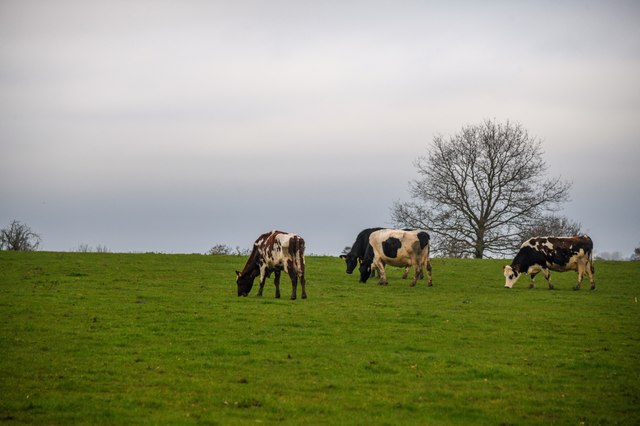
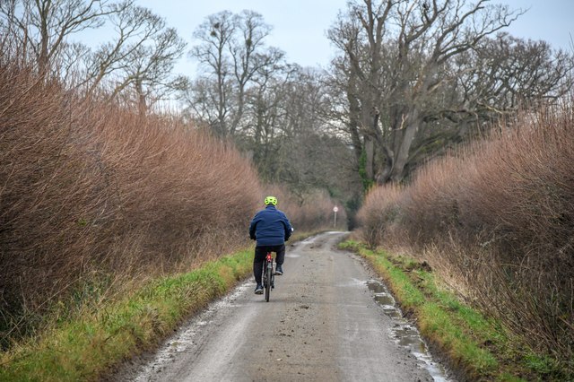
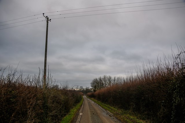
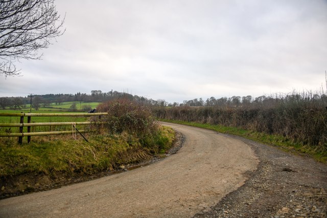
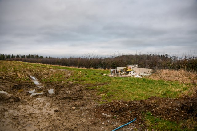
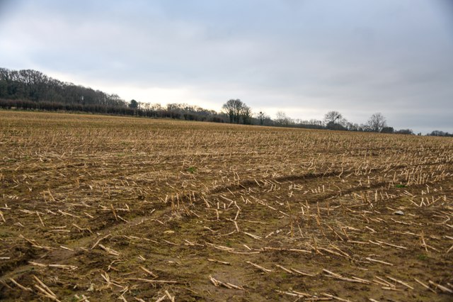
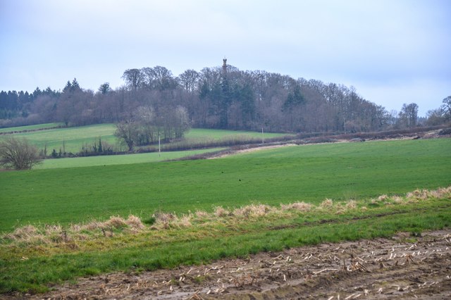
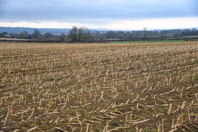
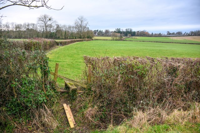
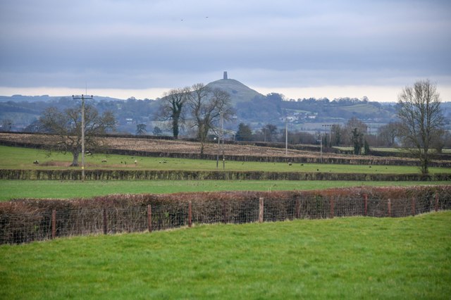
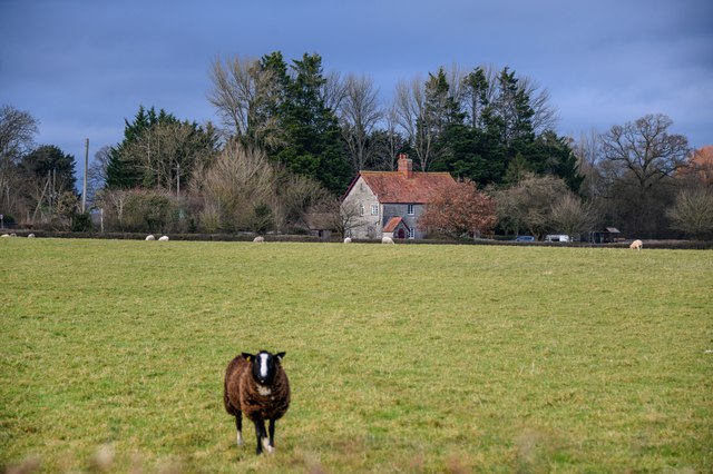
The landscape of Polden Hills is characterized by its lush greenery and expansive views. Visitors can enjoy leisurely walks along the numerous footpaths and trails that crisscross the area, providing ample opportunities to immerse oneself in nature. The hills are adorned with a diverse range of flora and fauna, making it a haven for wildlife enthusiasts and nature lovers.

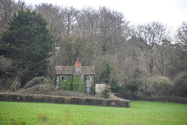
Moreover, Polden Hills boasts several charming villages that dot the landscape. These quaint settlements feature traditional thatched-roof cottages, village greens, and historic churches, preserving the rustic charm of the past. Exploring these villages allows visitors to experience the timeless beauty and rural character of the region.

In conclusion, Polden Hills in Somerset is a captivating heritage site that offers a captivating blend of historical significance and natural splendor. Its ancient settlements, breathtaking landscapes, and charming villages make it an ideal destination for those seeking a glimpse into England's past and a peaceful retreat in the heart of nature.

If you have any feedback on the listing, please let us know in the comments section below.
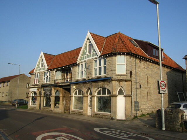
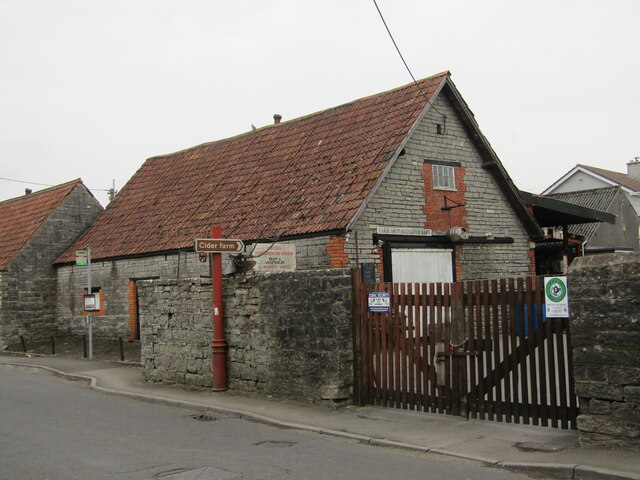
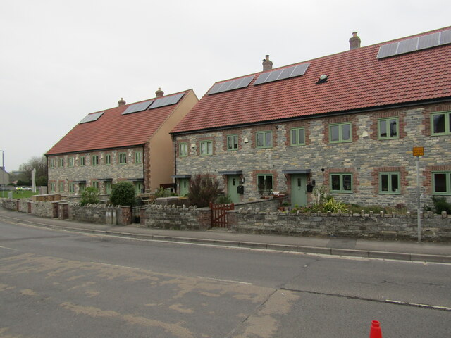
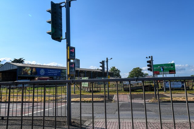
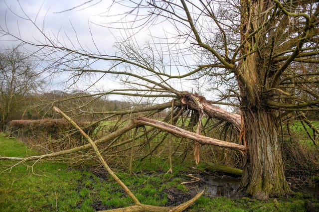
Polden Hills Images

Images are sourced within 2km of 51.108/-2.746 or Grid Reference ST4734. Thanks to Geograph Open Source API. All images are credited.

Street - High Street Distinctive buildings with front gables in the Clark factory town of Street.
Street - High Street
Distinctive buildings with front gables in the Clark factory town of Street.
Street - Heck's Cider Farm Farm shop in Street specialising in cider and perry. Hecks was established in 1841.
<span class="nowrap"><a title="www.heckscider.com" rel="nofollow ugc noopener" href="http://www.heckscider.com">Link</a><img style="margin-left:2px;" alt="External link" title="External link - shift click to open in new window" src="https://s1.geograph.org.uk/img/external.png" width="10" height="10"/></span>
Street - Heck's Cider Farm
Farm shop in Street specialising in cider and perry. Hecks was established in 1841. LinkExternal link
Street - High Street Distinctive houses at the west end of the High Street in the factory town of Street, notable for Clark's shoes.
Street - High Street
Distinctive houses at the west end of the High Street in the factory town of Street, notable for Clark's shoes.
Street : Quarry Batch A39 A road crossing on the A39.
Street : Quarry Batch A39
A road crossing on the A39.
Butleigh : Grassy Field & Cattle Looking towards a grassy field with cows in.
Butleigh : Grassy Field & Cattle
Looking towards a grassy field with cows in.
Butleigh : Westfield Lane A small country lane.
Butleigh : Westfield Lane
A small country lane.
Butleigh : Westfield Lane A country lane.
Butleigh : Westfield Lane
A country lane.
Butleigh : Westfield Lane Looking along Westfield Lane as it heads around the bend.
Butleigh : Westfield Lane
Looking along Westfield Lane as it heads around the bend.
Butleigh : Grassy Field A field off Westfield Lane.
Butleigh : Grassy Field
A field off Westfield Lane.
Street : Field A field in the countryside.
Street : Field
A field in the countryside.
Street : Grassy Field Looking across the countryside.
Street : Grassy Field
Looking across the countryside.
Street : Field Looking across a field.
Street : Field
Looking across a field.
Street : Grassy Field A right of way heads through the fields.
Street : Grassy Field
A right of way heads through the fields.
Street : Keeper's Cottage A house in the countryside.
Street : Keeper's Cottage
A house in the countryside.
Street : Grassy Field Looking across the grassy fields.
Street : Grassy Field
Looking across the grassy fields.
Street : Fallen Tree Clambering through the fallen tree which is blocking the right of way.
Street : Fallen Tree
Clambering through the fallen tree which is blocking the right of way.
Street : Field The edge of the field, with the right of way being blocked by the tree.
Street : Field
The edge of the field, with the right of way being blocked by the tree.
Street : Grassy Field & Sheep A sheep in a grassy field.
Street : Grassy Field & Sheep
A sheep in a grassy field.
Show me another place!

Polden Hills is located at Grid Ref: ST4734 (Lat: 51.108, Lng: -2.746)

Administrative County: Somerset

District: Mendip

Police Authority: Avon and Somerset

What 3 Words

///mice.instance.deflated. Near Street, Somerset

Related Wikis

Walton and Ivythorn Hills

Walton and Ivythorn Hills is a 34.9 hectares (86 acres) biological Site of Special Scientific Interest near Street at the south-eastern end of the Polden...

Battle of Marshall's Elm

The battle of Marshall's Elm was a skirmish that took place near Street, in the county of Somerset, South West England, on 4 August 1642. The engagement...

Street F.C.

Street Football Club are a football club based in Street in Somerset, England. They are currently members of the Western League Premier Division and play...

Street Mission Church

Street Mission Church is a Church of England church in Street, Somerset, England. The church was built in 1990 on the site of an earlier tin tabernacle...

Nearby Amenities

Located within 500m of 51.108,-2.746
YHA Hostel Street
Addr City: Street
Addr Housename: the Chalet
Addr Postcode: BA16 0TX
Addr Street: Cockrod
Brand: YHA
Brand Wikidata: Q8059214
Phone: +44 345 371 9143
Source: OS OpenData StreetView
Tourism: hostel
Website: https://www.yha.org.uk/hostel/yha-street
Lat/Long: 51.1081422/-2.7433109
Parking
Lat/Long: 51.1077583/-2.7438044
Kerb: no
Lat/Long: 51.1074006/-2.742043
Entrance: main
Lat/Long: 51.1081019/-2.7431683
Entrance: main
Lat/Long: 51.1081002/-2.7432702
Entrance: main
Lat/Long: 51.1080813/-2.7433305
Destination: YHA Hostel
Information: guidepost
Tourism: information
Lat/Long: 51.1100137/-2.7426177
The data included in this document is from www.openstreetmap.org. The data is made available under ODbL.

Have you been to Polden Hills?

Leave your review of Polden Hills below (or comments, questions and feedback).