Ivy Thorn Hill
Hill, Mountain in Somerset Mendip
England
Ivy Thorn Hill
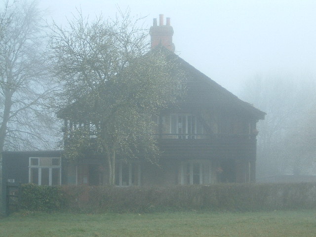
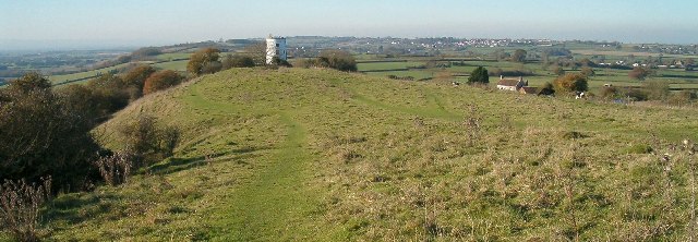
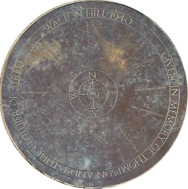
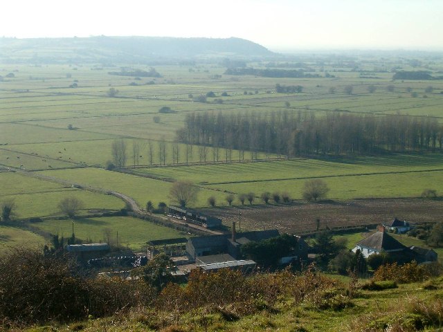
Ivy Thorn Hill, located in Somerset, is a picturesque hill standing proudly amidst the rolling countryside of southwestern England. With an elevation of around 300 meters, it is considered more of a hill than a mountain. The hill gets its name from the abundance of ivy and thorn bushes that cover its slopes, adding to its natural charm.
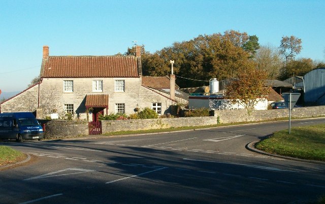
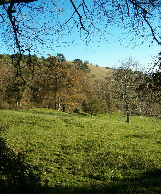
Ivy Thorn Hill is renowned for its breathtaking views, offering visitors a panoramic vista of the surrounding landscape. On clear days, one can see the vast patchwork of fields, meandering rivers, and quaint villages that dot the Somerset countryside. The hill's peak is easily accessible by foot, with several well-maintained hiking trails leading to the summit.
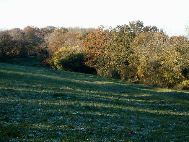
Nature enthusiasts flock to Ivy Thorn Hill to explore its diverse flora and fauna. The hill is home to a variety of plant species, including wildflowers that bloom in vibrant colors during the spring and summer months. Birdwatchers also find delight in observing the numerous avian species that inhabit the area, such as songbirds, raptors, and migratory birds.
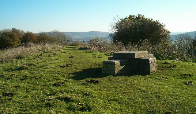
Ivy Thorn Hill holds historical significance as well. The hillside features remnants of ancient settlements, including burial mounds and stone circles, which serve as a testament to the area's rich cultural heritage. Archaeological excavations have revealed artifacts that date back several centuries, shedding light on the lives of the people who once called this hillside home.
Overall, Ivy Thorn Hill offers a serene and captivating experience for visitors seeking tranquility, natural beauty, and a glimpse into the region's past. Whether one is hiking to the summit, enjoying the panoramic views, or exploring the historical remnants, Ivy Thorn Hill is truly a gem of Somerset.
If you have any feedback on the listing, please let us know in the comments section below.
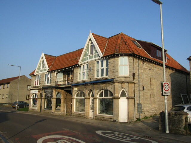
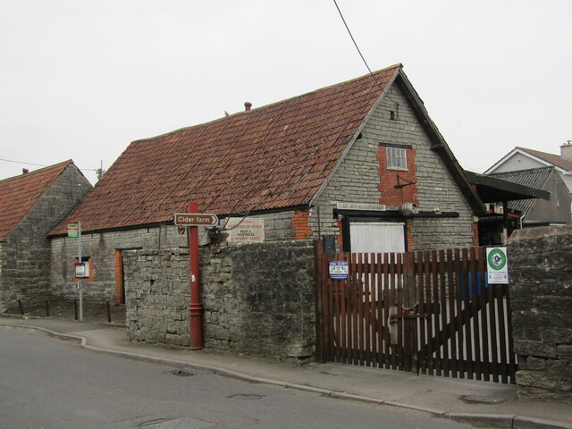
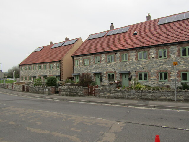
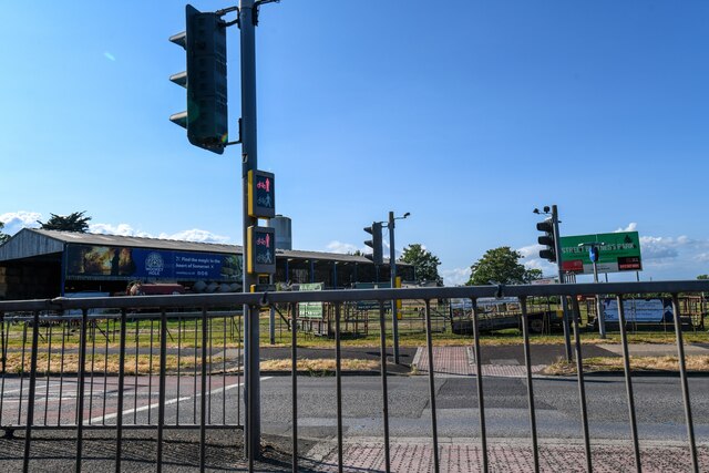
Ivy Thorn Hill Images
Images are sourced within 2km of 51.10787/-2.7464029 or Grid Reference ST4734. Thanks to Geograph Open Source API. All images are credited.


Ivy Thorn Hill is located at Grid Ref: ST4734 (Lat: 51.10787, Lng: -2.7464029)
Administrative County: Somerset
District: Mendip
Police Authority: Avon and Somerset
What 3 Words
///hood.deduced.summit. Near Street, Somerset
Nearby Locations
Related Wikis

Walton and Ivythorn Hills
Walton and Ivythorn Hills is a 34.9 hectares (86 acres) biological Site of Special Scientific Interest near Street at the south-eastern end of the Polden...

Battle of Marshall's Elm
The battle of Marshall's Elm was a skirmish that took place near Street, in the county of Somerset, South West England, on 4 August 1642. The engagement...
Street F.C.
Street Football Club are a football club based in Street in Somerset, England. They are currently members of the Western League Premier Division and play...
Street, Somerset
Street is a large village and civil parish in Somerset, England, with a population of 11,805 in 2011. On a dry spot in the Somerset Levels, at the end...

Street Mission Church
Street Mission Church is a Church of England church in Street, Somerset, England. The church was built in 1990 on the site of an earlier tin tabernacle...
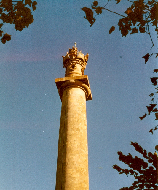
Admiral Hood Monument
The Admiral Hood Monument is a memorial column to Sir Samuel Hood on a hill near Butleigh in the parish of Compton Dundon, Somerset, England. It was completed...

United Reformed Church, Street
The United Reformed Church (originally known as the Congregational Chapel) is a United Reformed Church in Street, Somerset, England. It was designed by...

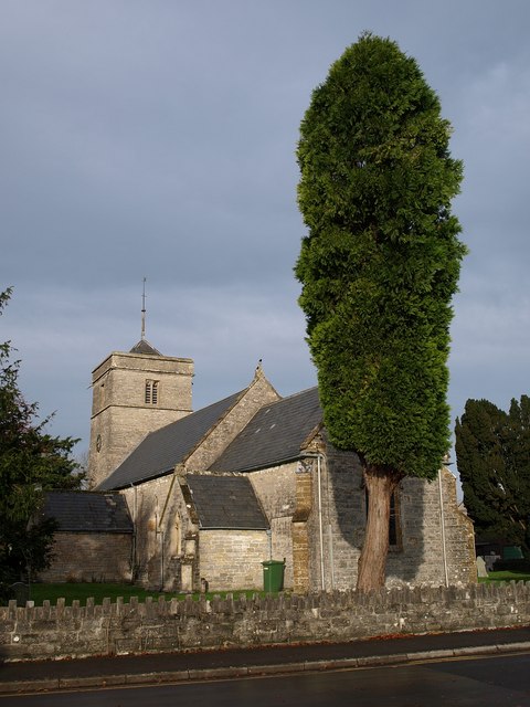
Church of St Andrew, Compton Dundon
The Anglican Church of St Andrew Compton Dundon, Somerset, England was built in the 14th century. It is a Grade II* listed building. == History == The...
Nearby Amenities
Located within 500m of 51.10787,-2.7464029Have you been to Ivy Thorn Hill?
Leave your review of Ivy Thorn Hill below (or comments, questions and feedback).