Blakemore Hill
Hill, Mountain in Herefordshire
England
Blakemore Hill
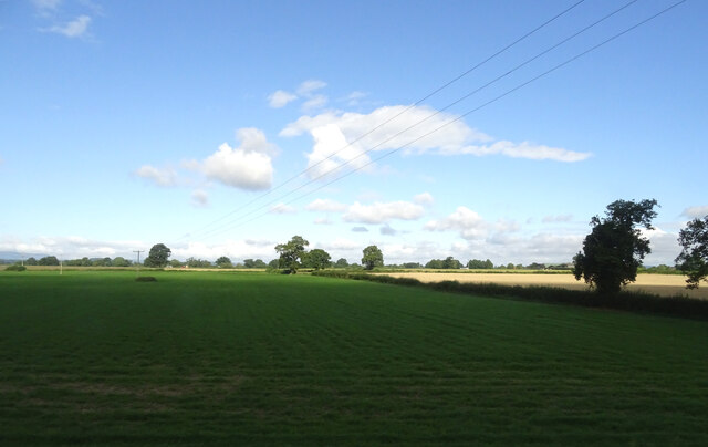
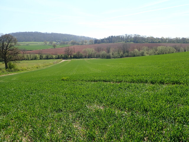
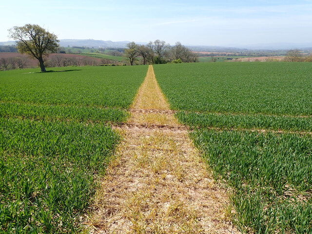
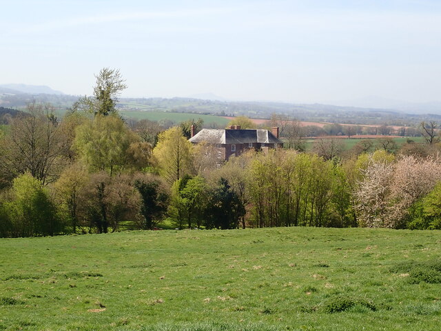
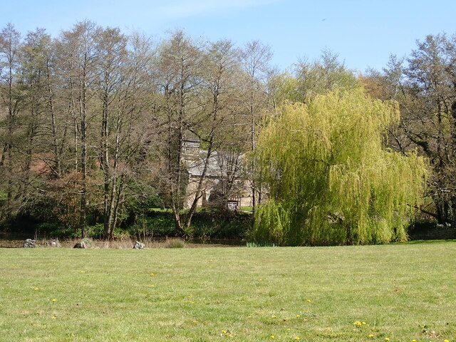
Blakemore Hill is a prominent geographical feature located in Herefordshire, England. Standing at an elevation of approximately 345 meters (1,132 feet), it is classified as a hill rather than a mountain due to its relatively modest height. The hill is situated within the beautiful landscape of the Herefordshire countryside and offers breathtaking panoramic views of the surrounding areas.
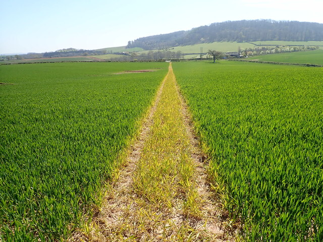
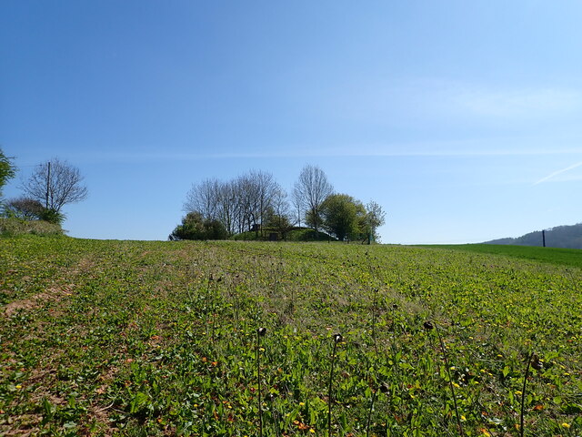
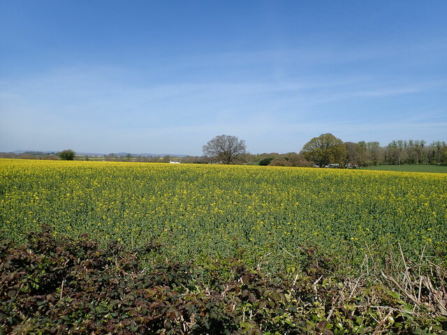
Blakemore Hill is characterized by its gentle slopes and verdant greenery, which is predominantly covered by a mix of grasses, wildflowers, and scattered trees. The hill is a result of ancient geological processes, primarily composed of sedimentary rocks such as sandstone and limestone. This geological composition has contributed to the formation of its distinct shape and topography.
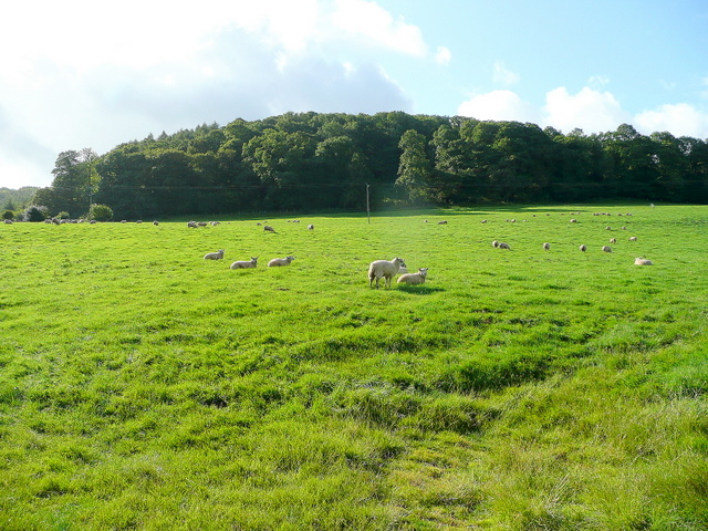
The hill serves as a popular destination for outdoor enthusiasts and nature lovers, attracting hikers, walkers, and photographers throughout the year. Numerous well-marked trails crisscross the area, allowing visitors to explore its natural beauty and enjoy its tranquil atmosphere. The gentle gradient of the hill makes it accessible to people of different fitness levels, offering a pleasant and relatively easy trek.
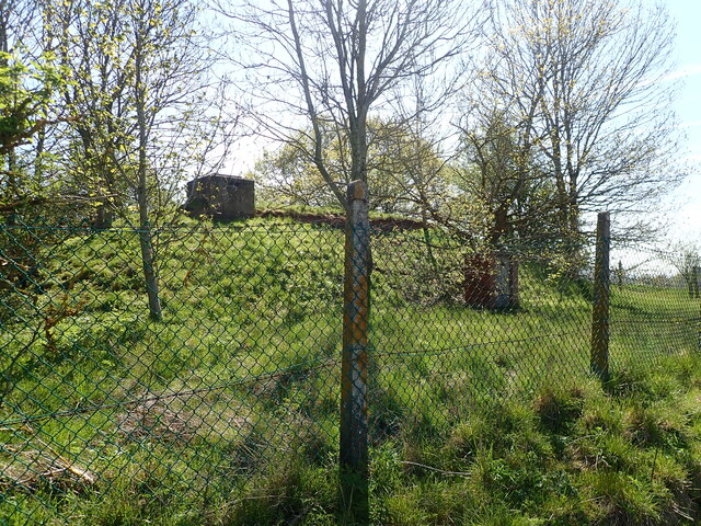
Blakemore Hill is also home to a diverse range of flora and fauna. The hillside supports a variety of plant species, including heather, gorse, and bracken, which provide habitats for a wide array of wildlife. Visitors may spot various birds, such as kestrels and buzzards, soaring overhead, while rabbits and deer can occasionally be glimpsed grazing in the fields.
Overall, Blakemore Hill presents a picturesque and serene destination for those seeking a serene escape in the heart of Herefordshire's natural beauty.
If you have any feedback on the listing, please let us know in the comments section below.
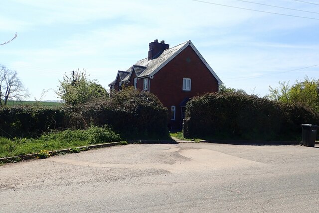
Blakemore Hill Images
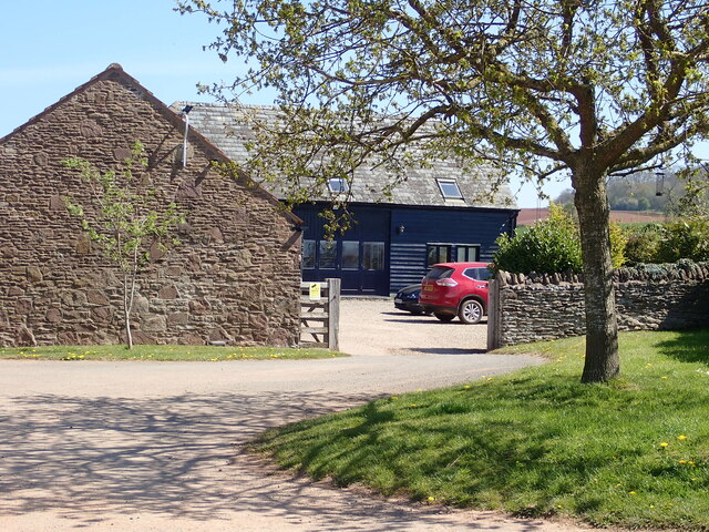
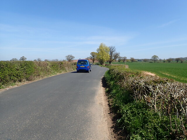
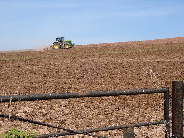
Images are sourced within 2km of 52.009519/-2.7611994 or Grid Reference SO4734. Thanks to Geograph Open Source API. All images are credited.


Blakemore Hill is located at Grid Ref: SO4734 (Lat: 52.009519, Lng: -2.7611994)
Unitary Authority: County of Herefordshire
Police Authority: West Mercia
What 3 Words
///brilliant.keys.hero. Near Callow, Herefordshire
Nearby Locations
Related Wikis

Haywood, Herefordshire
Haywood is a civil parish in Herefordshire, England, and south-west of Hereford. Parish population at the 2011 census was 216. There are no substantial...

Dewsall
Dewsall is a civil parish in south Herefordshire, England, approximately 4 miles (6 km) south from the city and county town of Hereford. The nearest market...

Callow, Herefordshire
Callow is a village and civil parish in Herefordshire, England, about 4 miles (6.4 km) south of Hereford. The church is dedicated to St Mary. == External... ==

Tram Inn railway station
Tram Inn railway station was a station to the east of Thruxton, Herefordshire, England. It was named after a local public house, itself named after a tramway...

Allensmore
Allensmore is a village in Herefordshire, England. It is located on the A465 road about 4 miles (6 km) south-west of Hereford. The church is dedicated...
Kivernoll
Kivernoll (originally Kiverknoll) is a hamlet in the county of Herefordshire, England. It is part of Much Dewchurch parish. Kivernoll consists of a small...
Grafton, Herefordshire
Grafton is a village and civil parish in Herefordshire, England. The population of this civil parish was 258 at the 2011 census. The parish includes the...
Aconbury Camp
Aconbury Camp is an Iron Age hillfort on Aconbury Hill in Herefordshire, England, about 4 miles (6 km) south of Hereford, and near the village of Aconbury...
Have you been to Blakemore Hill?
Leave your review of Blakemore Hill below (or comments, questions and feedback).