Plymouth Properties
Heritage Site in Devon
England
Plymouth Properties
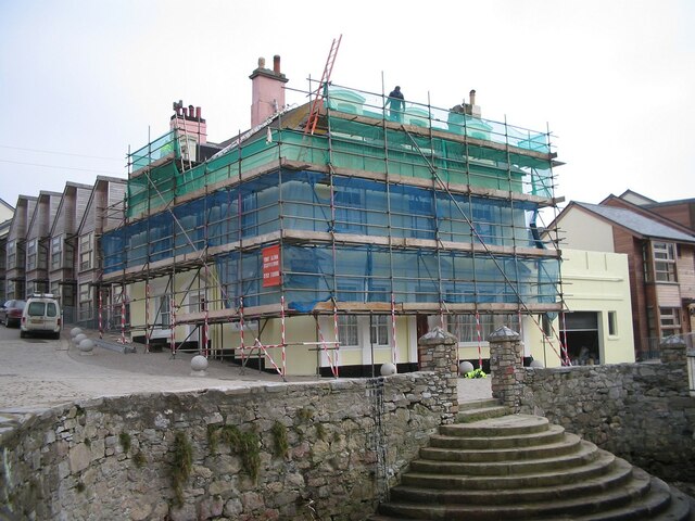
Plymouth Properties, located in Devon, England, is a heritage site that holds great historical significance. Situated in the picturesque coastal city of Plymouth, this collection of properties showcases the architectural evolution of the area over the centuries.
The site comprises a range of buildings, each with its own unique charm and historical context. One of the most prominent structures is the Elizabethan House, a beautifully preserved merchant's residence dating back to the 16th century. Its striking façade and intricate interior details offer visitors a glimpse into the opulent lifestyle of the era. Adjacent to the Elizabethan House is the Merchant's House, which provides further insight into the lives of Plymouth's wealthy inhabitants during the 17th century.
Additionally, Plymouth Properties includes properties from the Georgian and Victorian periods, showcasing the architectural styles that emerged during these times. The properties exhibit features such as sash windows, decorative plasterwork, and grand entrances, giving visitors an understanding of the changing tastes and influences that shaped the city's urban landscape.
Visitors to Plymouth Properties can explore the buildings through guided tours or self-guided visits. Knowledgeable guides provide historical context and share fascinating stories about the inhabitants who once lived within these walls.
Plymouth Properties is not only a treasure trove of architectural heritage, but it also offers a unique opportunity to delve into the history of Plymouth and gain a deeper appreciation for the city's past.
If you have any feedback on the listing, please let us know in the comments section below.
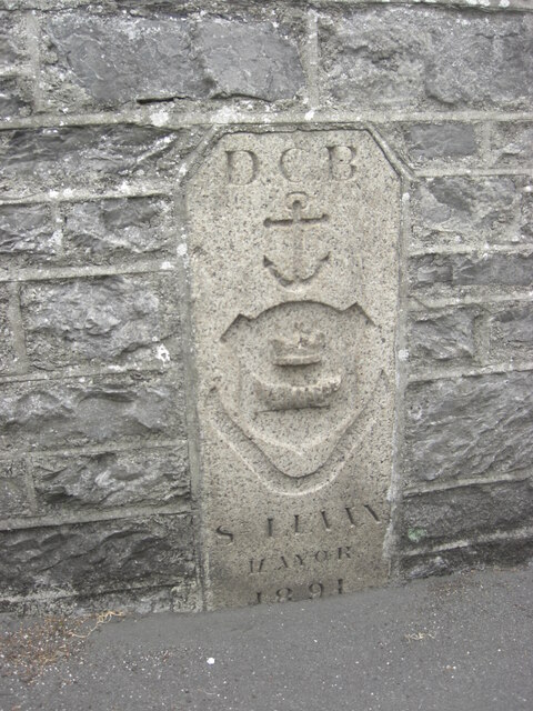
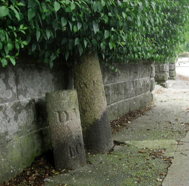
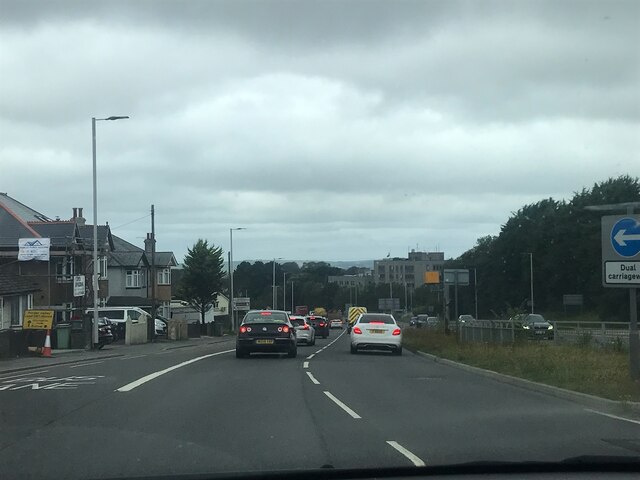
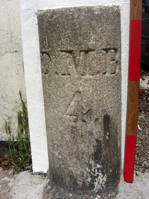
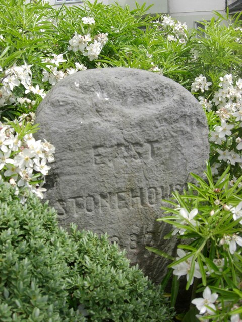
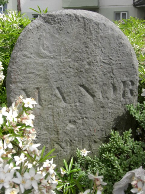
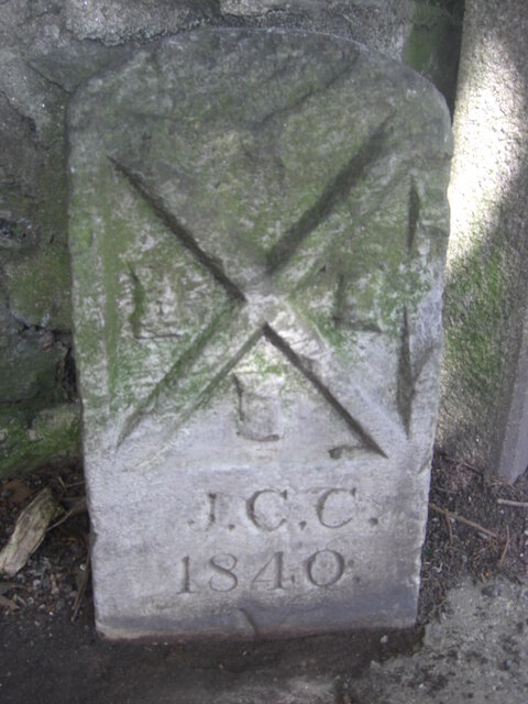
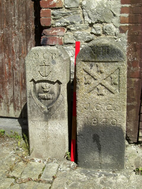
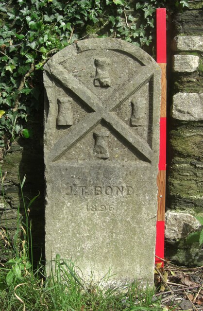
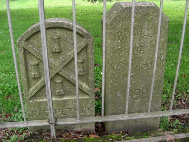
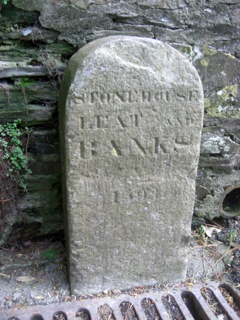
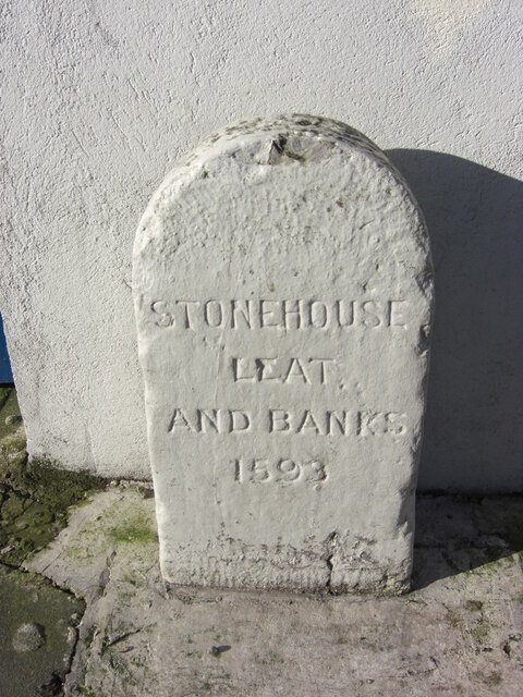
Plymouth Properties Images
Images are sourced within 2km of 50.383/-4.168 or Grid Reference SX4555. Thanks to Geograph Open Source API. All images are credited.


Plymouth Properties is located at Grid Ref: SX4555 (Lat: 50.383, Lng: -4.168)
Unitary Authority: Plymouth
Police Authority: Devon and Cornwall
What 3 Words
///terms.shovels.gifted. Near Torpoint, Cornwall
Nearby Locations
Related Wikis

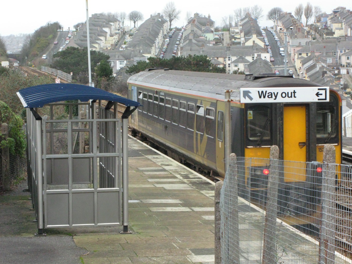
Ford (Devon) railway station
Ford (Devon) railway station was originally named Ford railway station and stood at the eastern end of Station Road, Keyham Barton in Plymouth, South Devon...

Stoke, Plymouth
Stoke, also referred to by its earlier name of Stoke Damerel, is a parish, that was once part of the historical Devonport, England; this was prior to 1914...

Devonport railway station
Devonport railway station serves the Devonport area of Plymouth in Devon, England. It is 248 miles 28 chains (399.7 km) from London Paddington measured...
Dockyard railway station
Dockyard railway station is a Great Western Railway suburban station on the Cornish Main Line in Devonport, Plymouth, England. As the name implies, it...

Keyham, Plymouth
Keyham is a Victorian-built area of Plymouth in the English county of Devon. It was built to provide dense cheap housing just outside the wall of HM...
Ford, Plymouth
Ford is a Victorian-built area of Plymouth, Devon, England. It lies 1.6 miles (2.6 km) north-west of the city centre, between the suburbs of Milehouse...
Stoke Damerel Community College
Stoke Damerel Community College is a coeducational secondary school and sixth form located in Stoke, Plymouth, England. Stoke Damerel Community College...
Albert Road Halt railway station
Albert Road Halt was a railway station in Plymouth in the English county of Devon. It was located between Ford and Devonport Park tunnels. == History... ==
Nearby Amenities
Located within 500m of 50.383,-4.168Have you been to Plymouth Properties?
Leave your review of Plymouth Properties below (or comments, questions and feedback).