Pilgrims Way
Heritage Site in Kent
England
Pilgrims Way
The requested URL returned error: 429 Too Many Requests
If you have any feedback on the listing, please let us know in the comments section below.
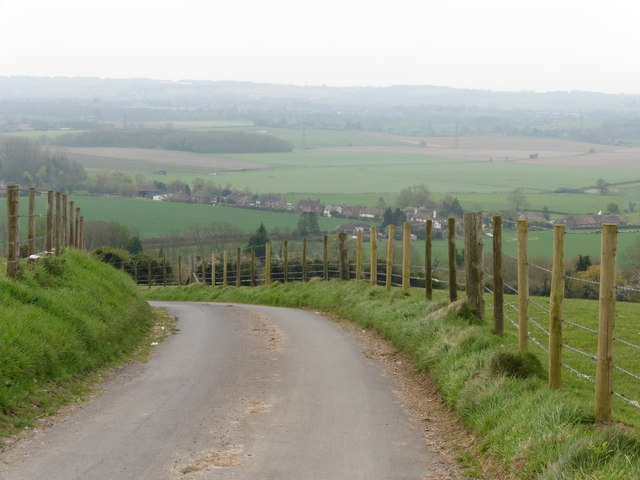
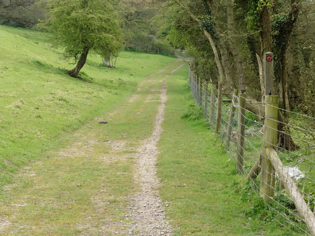
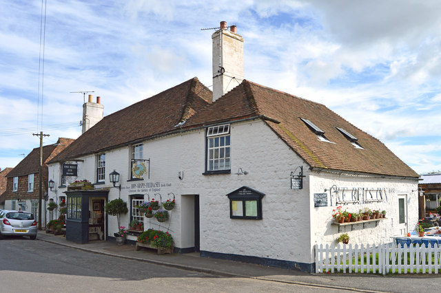
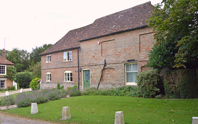
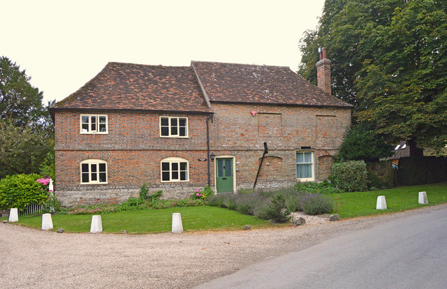
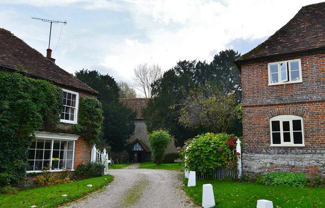
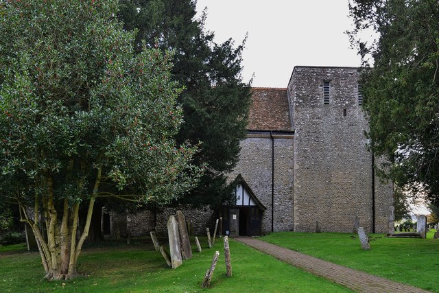
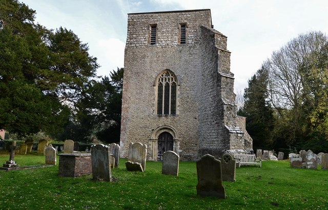
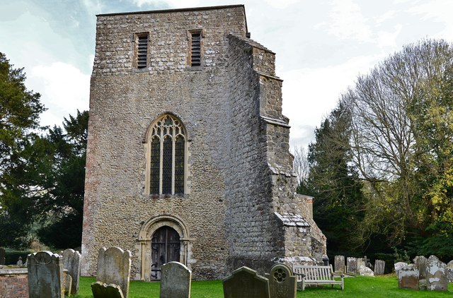
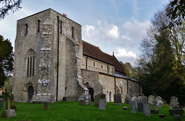
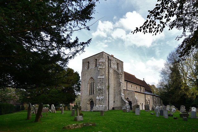
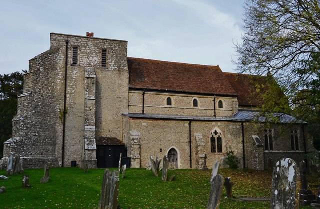
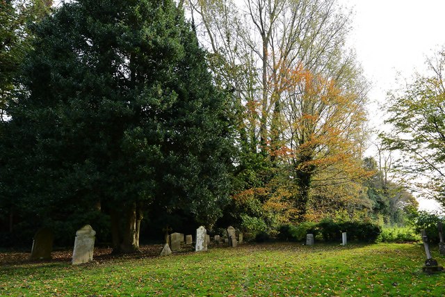
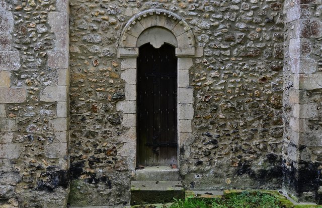
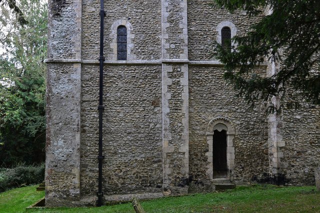
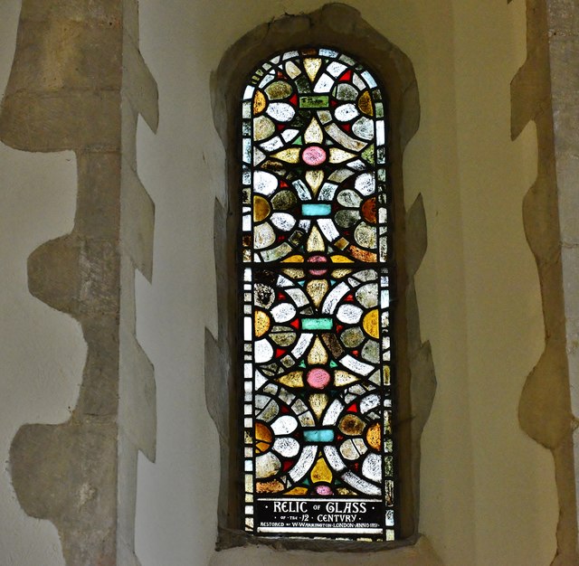
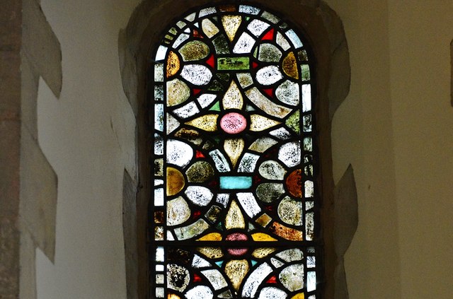
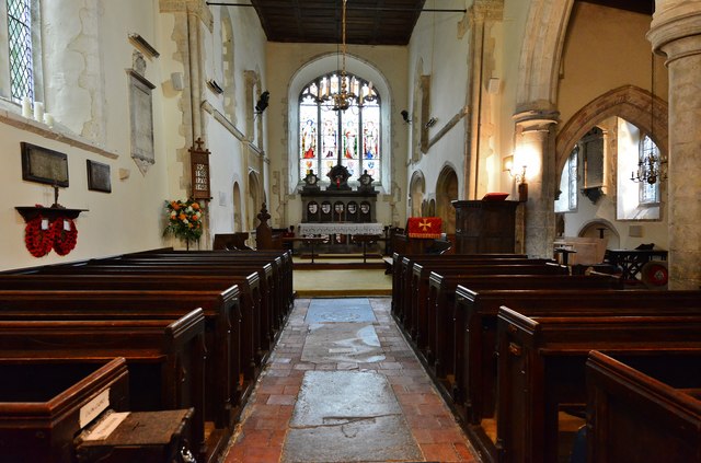
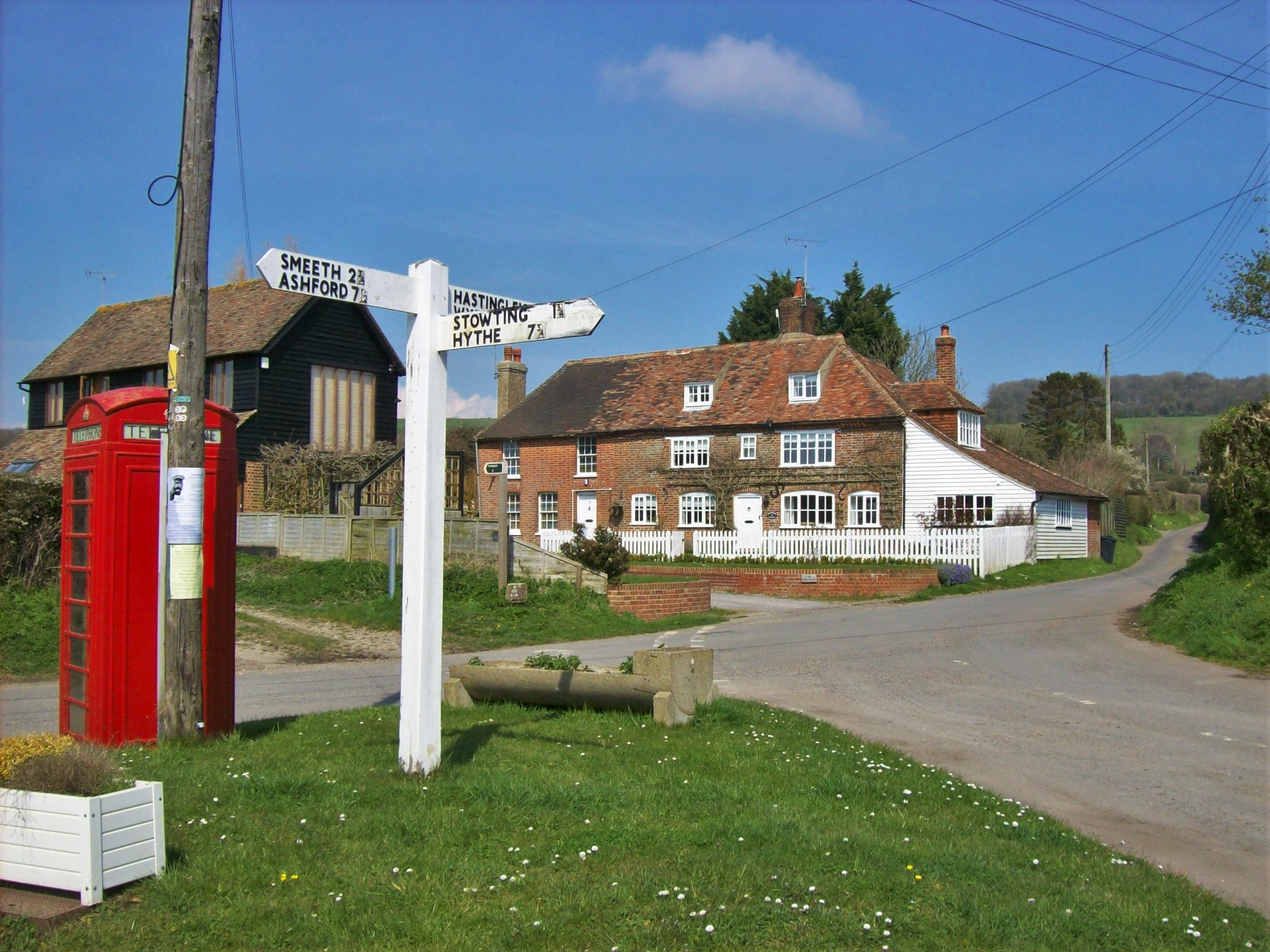
Pilgrims Way Images
Images are sourced within 2km of 51.152/0.997 or Grid Reference TR0943. Thanks to Geograph Open Source API. All images are credited.
Pilgrims Way is located at Grid Ref: TR0943 (Lat: 51.152, Lng: 0.997)
What 3 Words
///galaxy.among.forgotten. Near Wye, Kent
Nearby Locations
Related Wikis

Hastingleigh
Hastingleigh is a small civil parish centred on an escarpment of the Kent Downs. The parish is three miles east of Wye and ten miles south of Canterbury...
Brabourne
Brabourne is a village and civil parish in the Ashford district of Kent, England. The village centre is 4.5 miles (7.2 km) east of Ashford town centre...

Park Gate Down
Park Gate Down or Parkgate Down is a 7-hectare (17-acre) biological Site of Special Scientific Interest south-east of Stelling Minnis in Kent. It is also...

Shrub's Wood Long Barrow
Shrub's Wood Long Barrow is an unchambered long barrow located near to the village of Elmsted in the south-eastern English county of Kent. It was probably...
Related Videos

North Downs 50km Ultra Challenge | Action Challenge
North Downs 50km Ultra Challenge | Action Challenge 2019.

Wye National Nature Reserve | Fly along the walking route | Drone Flight
From the car park along the path you would walk.


Thee Scarecrows AKA performing "These boots are made for walking" live at The timberbatts Sept 2019
Thee Scarecrows AKA performing "These boots are made for walking" live at The timberbatts September 14th 2019.
Nearby Amenities
Located within 500m of 51.152,0.997Have you been to Pilgrims Way ?
Leave your review of Pilgrims Way below (or comments, questions and feedback).