Pilgrims' Way
Heritage Site in Surrey Reigate and Banstead
England
Pilgrims' Way

Pilgrims' Way, located in the county of Surrey, England, is a historic and renowned heritage site that stretches for approximately 120 miles. This ancient trackway is believed to have been used by pilgrims traveling from Winchester in Hampshire to the shrine of St. Thomas Becket in Canterbury, Kent, during the medieval times.
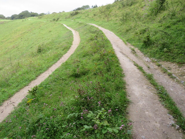
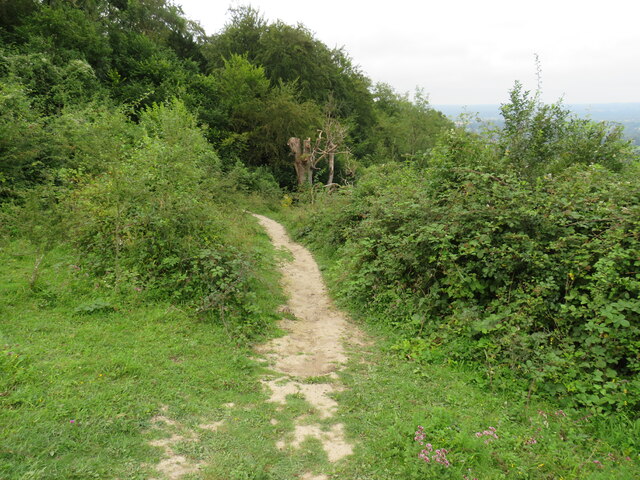
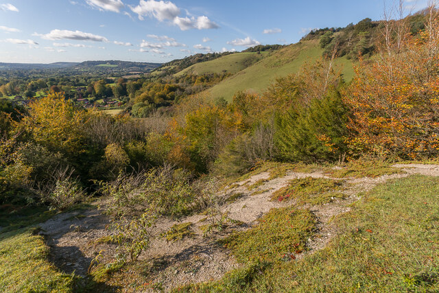
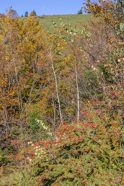
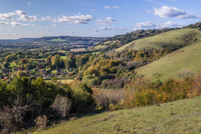
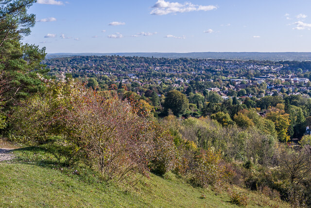
The route of Pilgrims' Way passes through various picturesque landscapes, including rolling hills, dense woodlands, and charming villages. It offers visitors a chance to immerse themselves in the rich history and natural beauty of the region. Along the way, there are several notable landmarks and historical sites to explore.
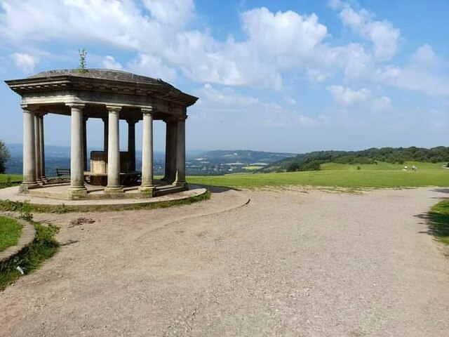
One such landmark is St. Martha's Hill, which offers panoramic views of the surrounding countryside. This hill is also home to St. Martha's Church, a medieval church that dates back to the 12th century. Another highlight is the village of Chilham, known for its well-preserved medieval square and the magnificent Chilham Castle.
Pilgrims' Way is not only significant for its historical and cultural importance but also for its natural treasures. The trail meanders through the Surrey Hills Area of Outstanding Natural Beauty, providing opportunities for walking, cycling, and wildlife spotting.
Today, Pilgrims' Way continues to attract visitors from around the world who wish to follow in the footsteps of the medieval pilgrims. Its combination of historical sites, stunning landscapes, and tranquil atmosphere make it a must-visit destination for history enthusiasts, nature lovers, and those seeking a peaceful retreat.
If you have any feedback on the listing, please let us know in the comments section below.
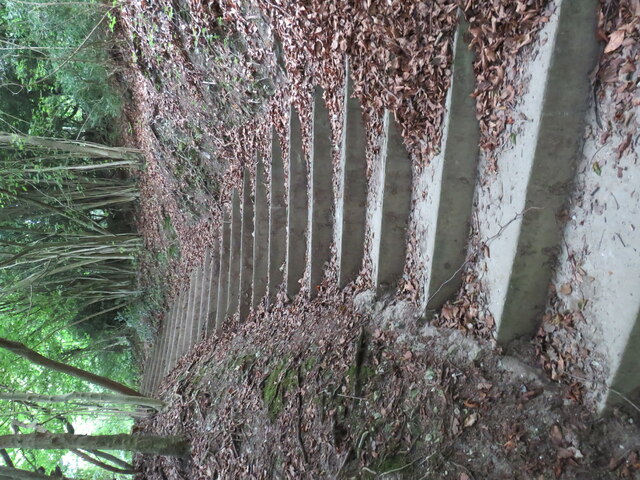
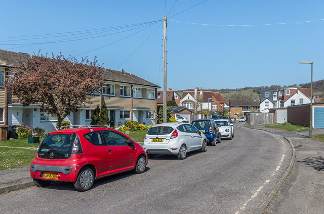
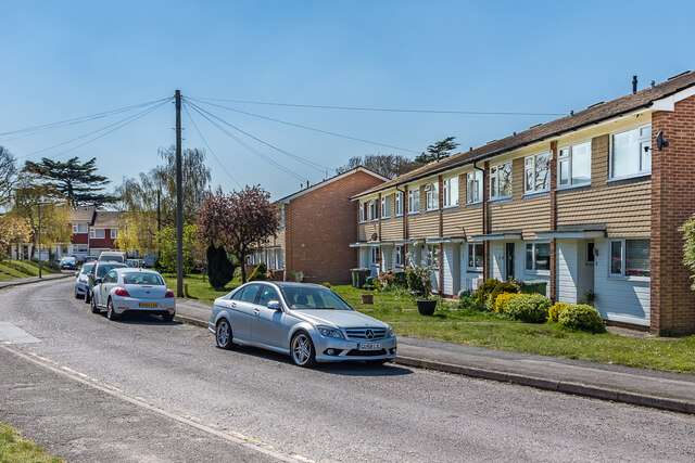
Pilgrims' Way Images
Images are sourced within 2km of 51.248/-0.215 or Grid Reference TQ2451. Thanks to Geograph Open Source API. All images are credited.


Pilgrims' Way is located at Grid Ref: TQ2451 (Lat: 51.248, Lng: -0.215)
Administrative County: Surrey
District: Reigate and Banstead
Police Authority: Surrey
What 3 Words
///ticket.headed.cook. Near Reigate, Surrey
Nearby Locations
Related Wikis

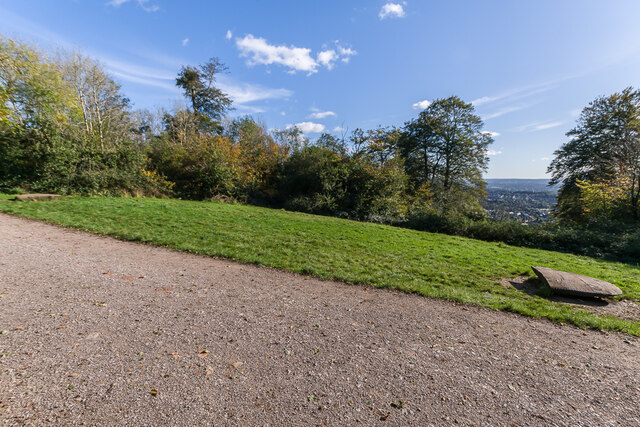
Colley Hill
Colley Hill is part of the North Downs escarpment in the North Downs, Surrey, England. It is about 1 km east of Buckland Hills and 1 km west of Reigate...
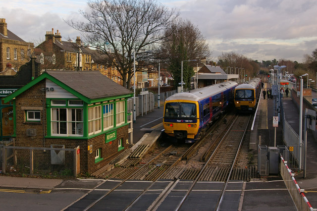
Reigate railway station
Reigate railway station serves the town of Reigate, Surrey, England, on the North Downs Line. It is 24 miles 27 chains (24.34 miles, 39.17 km) measured...

Reigate Priory F.C.
Reigate Priory Football Club is a football club based in Reigate, Surrey, England. They are currently members of the Mid-Sussex League Premiership and...

Reigate Priory Cricket Club Ground
Reigate Priory Cricket Club Ground is a cricket ground in Reigate, Surrey. The first recorded match on the ground was in 1853 when East Surrey played West...
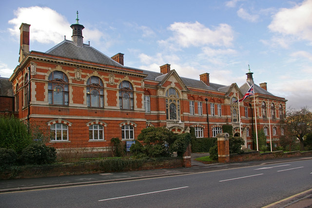
Reigate Town Hall
Reigate Town Hall is a municipal building in Castlefield Road, Reigate, Surrey, England. The town hall, which is the meeting place of Reigate and Banstead...

London Defence Positions
The London Defence Positions were a late 19th-century scheme of earthwork fortifications in the southeast of England, designed to protect London from foreign...

Reigate Tunnel
Reigate Tunnel is a former road tunnel in Reigate, Surrey, England. It runs under the hill that was once the site of Reigate Castle and was built during...

Reigate transmitting station
Reigate transmitting station is a television and radio transmitting tower in southeastern England. It is located on the North Downs at Reigate Hill about...
Nearby Amenities
Located within 500m of 51.248,-0.215Have you been to Pilgrims' Way?
Leave your review of Pilgrims' Way below (or comments, questions and feedback).