Pill Br
Heritage Site in Somerset
England
Pill Br
The requested URL returned error: 429 Too Many Requests
If you have any feedback on the listing, please let us know in the comments section below.
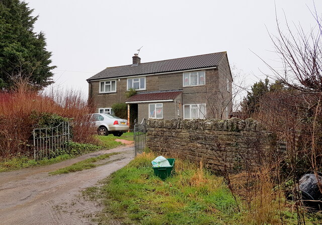
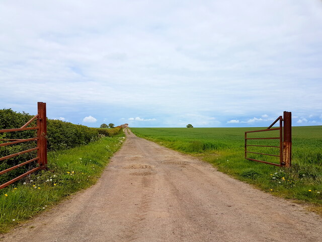
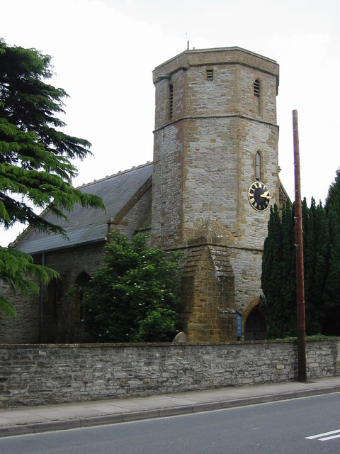
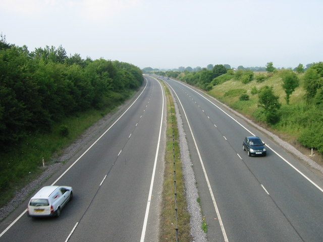
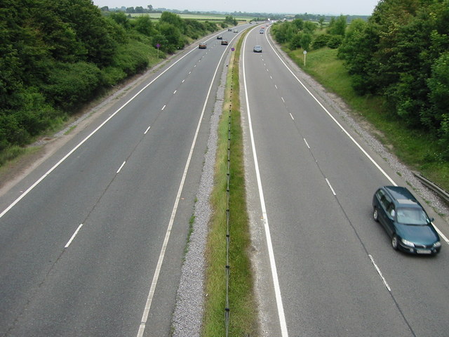
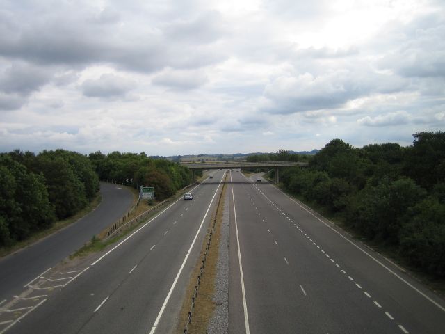
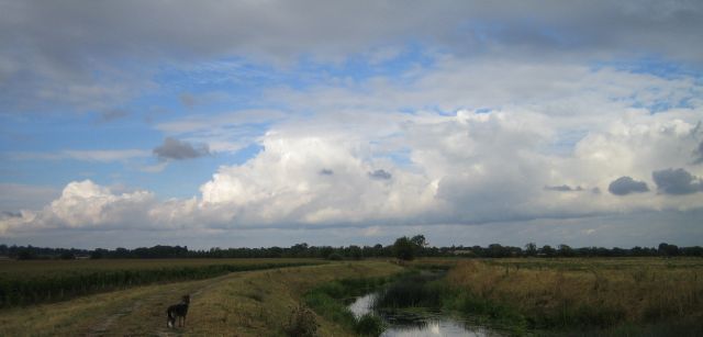
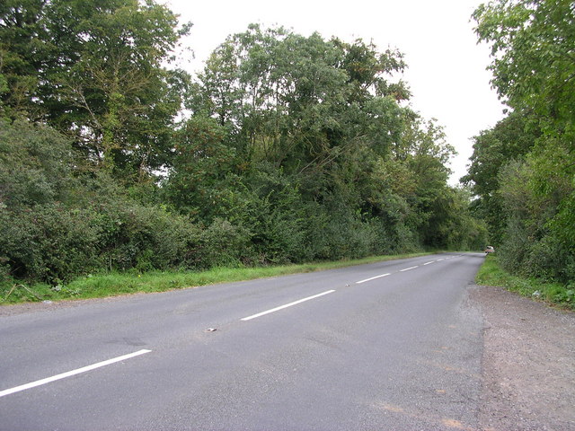
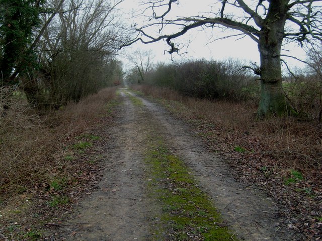
Pill Br Images
Images are sourced within 2km of 51.008/-2.705 or Grid Reference ST5023. Thanks to Geograph Open Source API. All images are credited.
Pill Br is located at Grid Ref: ST5023 (Lat: 51.008, Lng: -2.705)
What 3 Words
///housework.winds.cunning. Near Ilchester, Somerset
Nearby Locations
Related Wikis

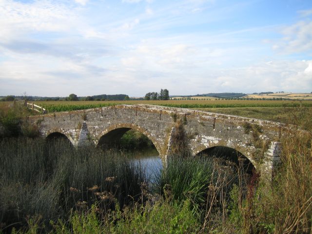
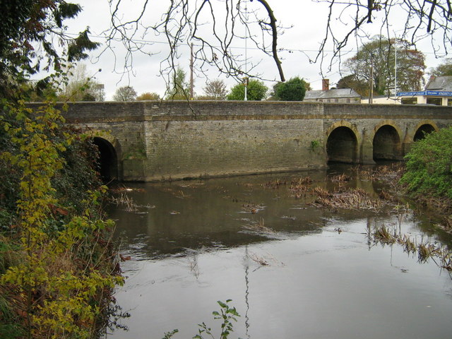
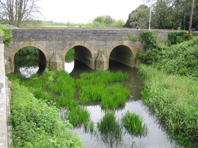
Pill Bridge
Pill Bridge is a stone arch bridge over the River Yeo between the parishes of Ilchester and Long Sutton, in the English county of Somerset. It is a scheduled...

Ilchester Friary
Ilchester Friary was founded between 1221 and 1260 as a Dominican monastery in Ilchester Somerset, England. The buildings were restored in the 13th and...
Ilchester Nunnery
Ilchester Nunnery, in Ilchester, Somerset, England, was founded around 1217–1220 as the "White Hall Hospital of the Holy Trinity", (Latin: Alba Aula, French...
Ilchester Cheese Company
The Ilchester Cheese Company is a cheese company based in Ilchester, Somerset. The Ilchester brands are part of Norseland, a subsidiary of Norwegian dairy...
Nearby Amenities
Located within 500m of 51.008,-2.705Have you been to Pill Br?
Leave your review of Pill Br below (or comments, questions and feedback).