Philla Cairn
Heritage Site in Kincardineshire
Scotland
Philla Cairn
Philla Cairn, located in Kincardineshire, Scotland, is a significant heritage site that holds historical and archaeological importance. The cairn is situated atop a hill, offering breathtaking views of the surrounding landscape.
The Philla Cairn dates back to the Neolithic era, making it approximately 5,000 years old. It is believed to have been a burial mound, serving as a final resting place for important individuals of that time. The cairn is constructed with large stones, creating a circular shape with a diameter of around 20 meters.
Excavations of the site have unearthed various artifacts, including pottery, flint tools, and human remains, shedding light on the lives and customs of the ancient inhabitants. The findings suggest that the cairn was used for ceremonial purposes as well, possibly as a gathering place for rituals and ceremonies.
Visitors to Philla Cairn can explore the site and observe its impressive structure. The cairn offers a glimpse into the region's ancient past and provides an opportunity to appreciate the craftsmanship and engineering skills of the Neolithic people.
The heritage site is well-preserved and maintained by local authorities, ensuring its protection and accessibility for future generations. Information boards and guided tours are available to provide visitors with a deeper understanding of the cairn's historical significance.
Philla Cairn stands as a testament to the rich and varied history of Kincardineshire, offering a window into the lives of its early inhabitants and their burial practices. It is a place of cultural and archaeological importance, attracting visitors and researchers alike.
If you have any feedback on the listing, please let us know in the comments section below.
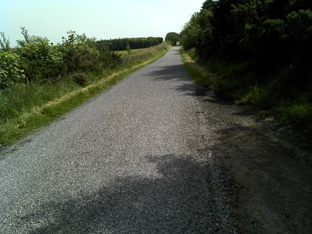
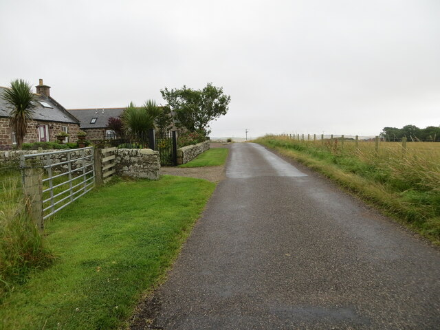
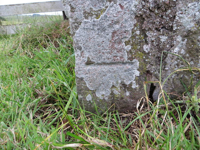
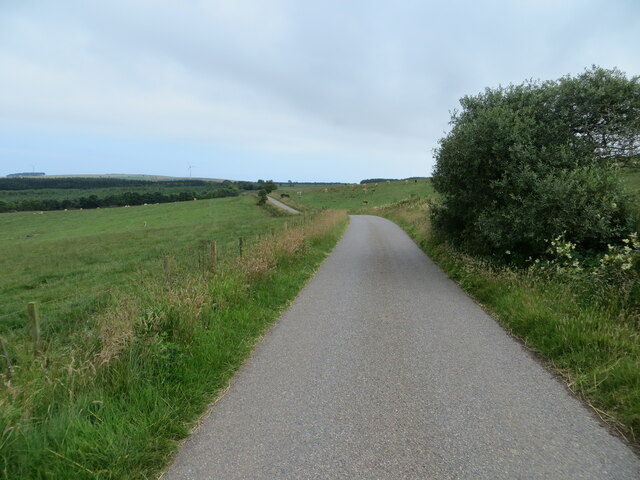
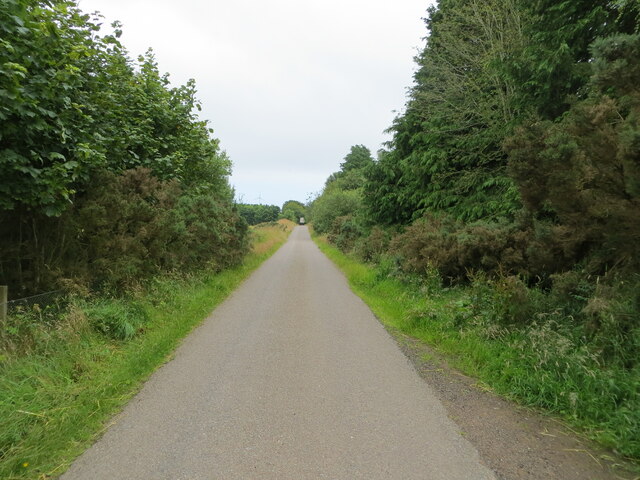
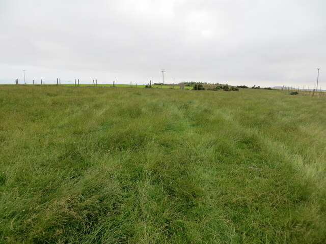
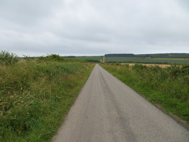
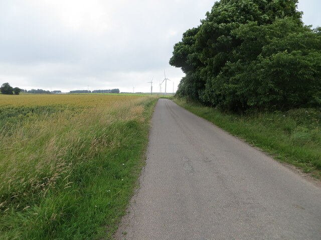
Philla Cairn Images
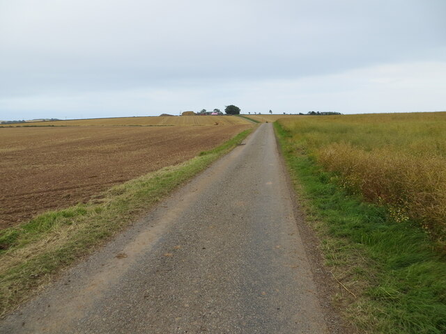
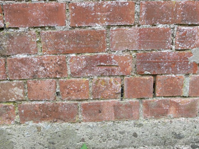
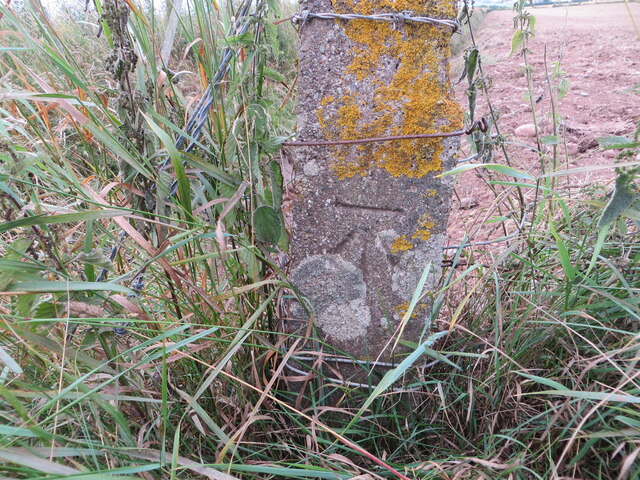
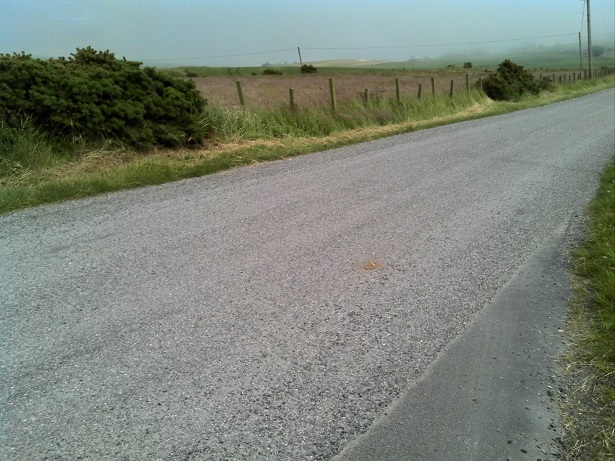
Images are sourced within 2km of 56.835/-2.352 or Grid Reference NO7871. Thanks to Geograph Open Source API. All images are credited.


Philla Cairn is located at Grid Ref: NO7871 (Lat: 56.835, Lng: -2.352)
Unitary Authority: Aberdeenshire
Police Authority: North East
What 3 Words
///starring.nicely.pulp. Near Inverbervie, Aberdeenshire
Nearby Locations
Related Wikis

Benholm
Benholm is a small settlement in Aberdeenshire, Scotland, UK. It is now a conservation area and is home to Benholm Mill.The A92 passes the eastern edge...

Benholm Mill
Benholm Mill in Kincardineshire, Scotland, is a restored and fully working water-powered meal mill. It is sited in ancient woodland near Johnshaven (13...

Arbuthnott Parish Kirk
Arbuthnott Parish Kirk is a church in Arbuthnott, Aberdeenshire, Scotland. Now a Category A listed building, it was built in at least the 13th century...

Allardice Castle
Allardice Castle (also spelled Allardyce) is a sixteenth-century manor house in Kincardineshire, Scotland. It is approximately 1.5 kilometres north-west...

Birnie Road Halt railway station
Birnie Road Halt railway station served the settlement of Benholm, Aberdeenshire, Scotland from 1865 to 1966 on the Montrose and Bervie Railway. ��2�...
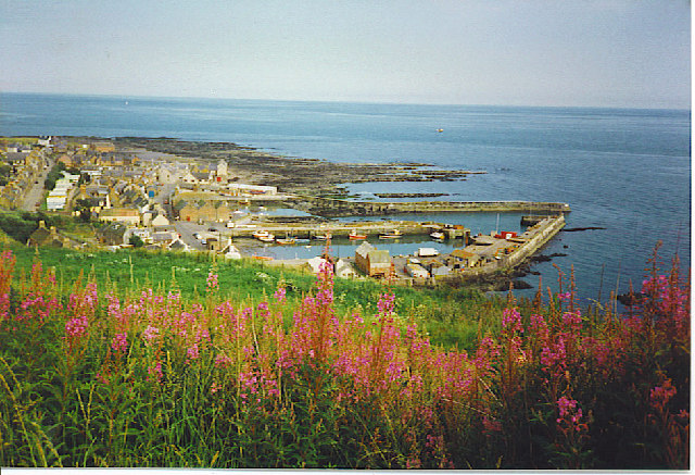
Gourdon, Aberdeenshire
Gourdon () nicknamed Gurdin by the population, is a coastal fishing village in Aberdeenshire, Scotland, south of Inverbervie and north of Johnshaven, with...

Gourdon railway station (NBR)
Gourdon railway station served the village of Gourdon, Aberdeenshire, Scotland from 1865 to 1951 on the Montrose and Bervie Railway. == History == The...
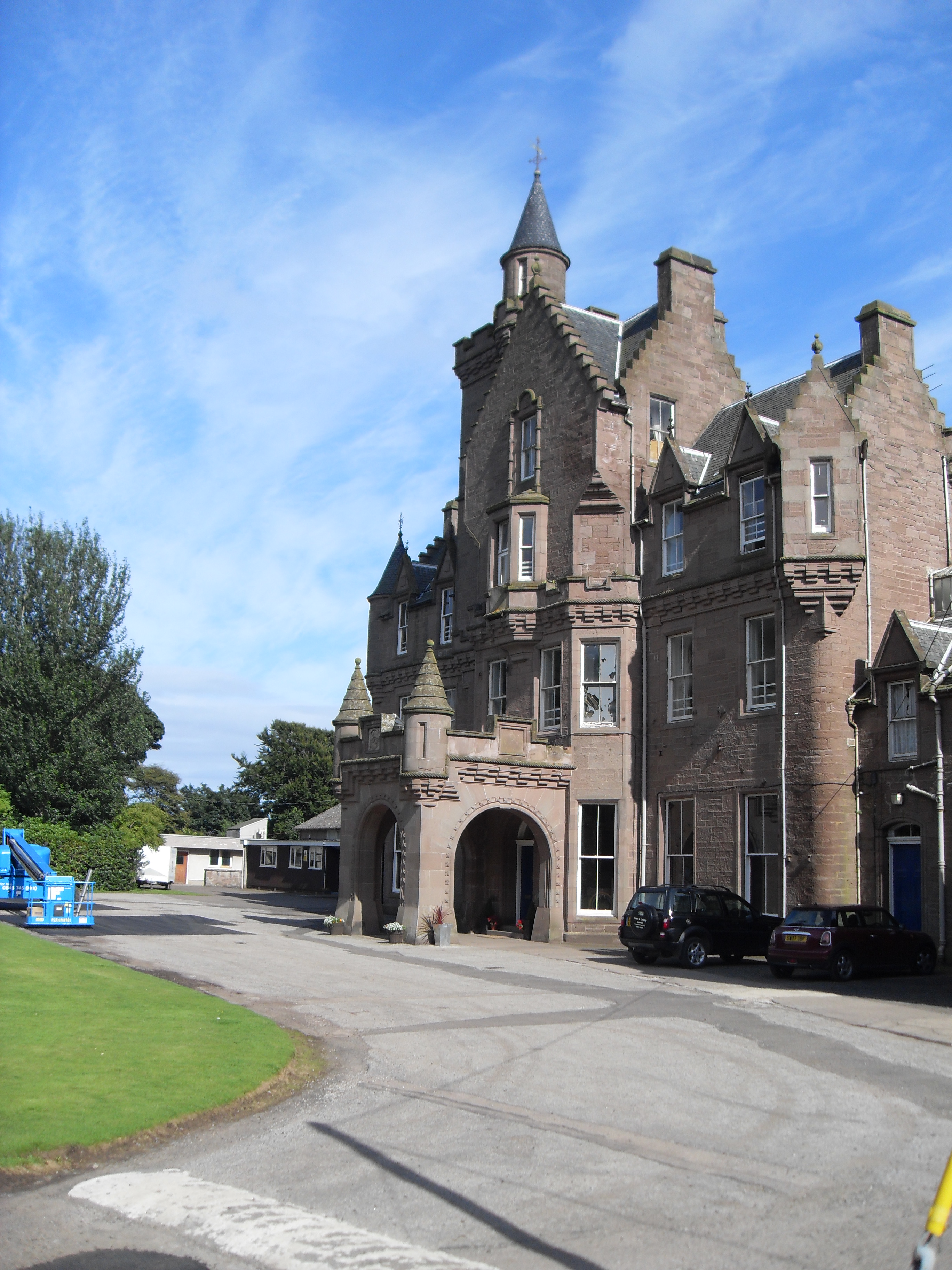
Lathallan School
Lathallan School is a co-educational all-through independent school at Brotherton Castle in Scotland, UK. It also offers outdoor learning programs on its...
Nearby Amenities
Located within 500m of 56.835,-2.352Have you been to Philla Cairn?
Leave your review of Philla Cairn below (or comments, questions and feedback).